

Pa County Map(103)
Historic Map of Great Bend Pennsylvania 1887 Susquehanna County Canvas Art - (36 x 54) $286.82

Historic Map of Great Bend Pennsylvania 1887 Susquehanna County Canvas Art - (36 x 54)
Antique Map of Pittsburgh Pennsylvania 1902 Allegheny County Canvas Art - (18 x 24) $62.99

Antique Map of Pittsburgh Pennsylvania 1902 Allegheny County Canvas Art - (18 x 24)
Historic County Map - Crawford County Pennsylvania - Spafford 1839 - Vintage Wall Art From $36.95

Historic County Map - Crawford County Pennsylvania - Spafford 1839 - Vintage Wall Art
36x50 Pennsylvania State Official Executive Laminated Wall Map $59.00

36x50 Pennsylvania State Official Executive Laminated Wall Map
Historic State Map - Pennsylvania - 1780 - Vintage Wall Art From $36.95
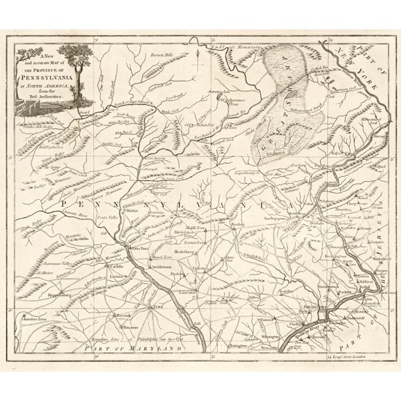
Historic State Map - Pennsylvania - 1780 - Vintage Wall Art
Vintage Map of Pittston Pennsylvania 1892 Luzerne County Canvas Art - (24 x 36) $125.96

Vintage Map of Pittston Pennsylvania 1892 Luzerne County Canvas Art - (24 x 36)
POSTER Pittsburgh Map Print, Pittsburgh Map Poster City Wall Art, Pa Road Map, Pennsylvania Print Street Map Decor UNFRAMED, 12x18
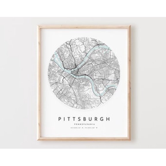
POSTER Pittsburgh Map Print, Pittsburgh Map Poster City Wall Art, Pa Road Map, Pennsylvania Print Street Map Decor UNFRAMED, 12x18
Wall Art Impressions 36 x 24 PA Statewide Congressional Districts Map Coated Paper $24.49

Wall Art Impressions 36 x 24 PA Statewide Congressional Districts Map Coated Paper
48x68 Pennsylvania State Official Executive Laminated Wall Map $89.95

48x68 Pennsylvania State Official Executive Laminated Wall Map
Historic County Map - Lycoming County Pennsylvania - Kollner 1855 - Vintage Wall Art From $36.95

Historic County Map - Lycoming County Pennsylvania - Kollner 1855 - Vintage Wall Art
Historic County Map - Schuylkill County Pennsylvania - Walling 1872 - Vintage Wall Art From $36.95

Historic County Map - Schuylkill County Pennsylvania - Walling 1872 - Vintage Wall Art
Historic Map of New Castle Pennsylvania 1896 Lawrence County Canvas Art - (24 x 36) $125.96

Historic Map of New Castle Pennsylvania 1896 Lawrence County Canvas Art - (24 x 36)
Historic State Map - Pennsylvania - Rathbun 1893 - Vintage Wall Art From $36.95
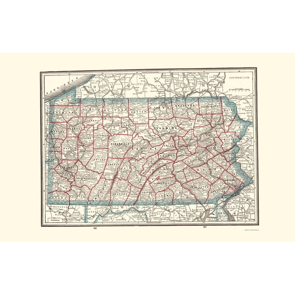
Historic State Map - Pennsylvania - Rathbun 1893 - Vintage Wall Art
Vintage Map of Moosic Pennsylvania 1892 Lackawanna County Canvas Art - (24 x 36) $125.96
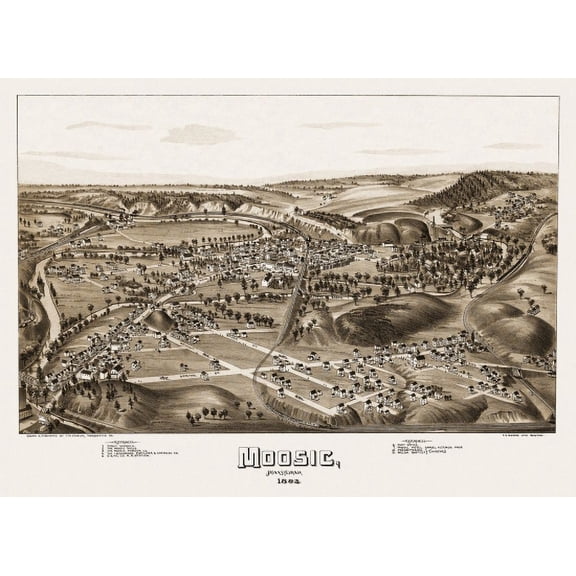
Vintage Map of Moosic Pennsylvania 1892 Lackawanna County Canvas Art - (24 x 36)
Vintage Map of Indiana Pennsylvania 1900 Indiana County Canvas Art - (36 x 54) $283.38

Vintage Map of Indiana Pennsylvania 1900 Indiana County Canvas Art - (36 x 54)
Historic Map of Newport Pennsylvania 1895 Perry County Canvas Art - (36 x 54) $283.38

Historic Map of Newport Pennsylvania 1895 Perry County Canvas Art - (36 x 54)
Old Map of Philadelphia Pennsylvania 1888 Philadelphia County Canvas Art - (24 x 36) $125.96

Old Map of Philadelphia Pennsylvania 1888 Philadelphia County Canvas Art - (24 x 36)
Historic Map of Irwin Pennsylvania 1897 Westmoreland County Canvas Art - (36 x 54) $286.82

Historic Map of Irwin Pennsylvania 1897 Westmoreland County Canvas Art - (36 x 54)
Old Map of Philadelphia Pennsylvania 1876 Schuylkill County Canvas Art - (18 x 24) $62.99

Old Map of Philadelphia Pennsylvania 1876 Schuylkill County Canvas Art - (18 x 24)
Historic County Map - Lancaster County Pennsylvania - 1851 - Vintage Wall Art From $36.95

Historic County Map - Lancaster County Pennsylvania - 1851 - Vintage Wall Art
Pennsylvania State Map 37x24in - 1977 USGS Base Map with Highways and Counties | Office Decor 【Poster Paper】 From $41.19
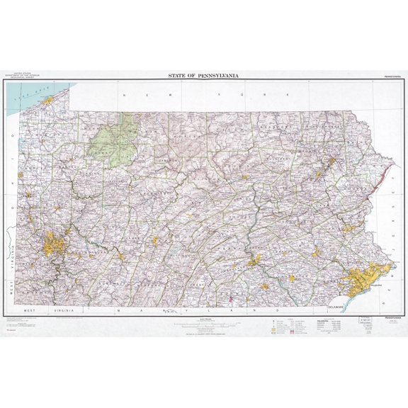
Pennsylvania State Map 37x24in - 1977 USGS Base Map with Highways and Counties | Office Decor 【Poster Paper】
Historic County Map- Philadelphia County Pennsylvania - Walling 1872 - Vintage Wall Art From $36.95

Historic County Map- Philadelphia County Pennsylvania - Walling 1872 - Vintage Wall Art
Old Map of Philadelphia Pennsylvania 1876 Schuylkill County Canvas Art - (36 x 54) $283.38

Old Map of Philadelphia Pennsylvania 1876 Schuylkill County Canvas Art - (36 x 54)
Vintage Map of Bradford Pennsylvania 1895 McKean County Canvas Art - (24 x 36) $125.96
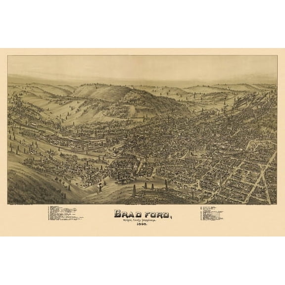
Vintage Map of Bradford Pennsylvania 1895 McKean County Canvas Art - (24 x 36)
Vintage Map of McKeesport Pennsylvania 1893 Allegheny County Canvas Art - (18 x 24) $62.99

Vintage Map of McKeesport Pennsylvania 1893 Allegheny County Canvas Art - (18 x 24)
Historic Map of Pittsburgh Pennsylvania 1874 Allegheny County Canvas Art - (24 x 36) $125.96

Historic Map of Pittsburgh Pennsylvania 1874 Allegheny County Canvas Art - (24 x 36)
Historic Map of Philadelphia Pennsylvania 1876 Delaware County Canvas Art - (36 x 54) $283.38

Historic Map of Philadelphia Pennsylvania 1876 Delaware County Canvas Art - (36 x 54)
Historic County Map- Clinton Centre Counties Pennsylvania - Walling 1872 - Vintage Wall Art From $36.95

Historic County Map- Clinton Centre Counties Pennsylvania - Walling 1872 - Vintage Wall Art
Historic County Map - Warren County Pennsylvania - Barnes 1865 - Vintage Wall Art From $36.95
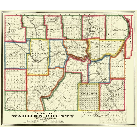
Historic County Map - Warren County Pennsylvania - Barnes 1865 - Vintage Wall Art
Old Map of Philadelphia Pennsylvania 1876 Schuylkill County Canvas Art - (24 x 36) $125.96

Old Map of Philadelphia Pennsylvania 1876 Schuylkill County Canvas Art - (24 x 36)
Old Map of Mount Pleasant Pennsylvania 1900 Schuylkill County Canvas Art - (36 x 54) $286.82

Old Map of Mount Pleasant Pennsylvania 1900 Schuylkill County Canvas Art - (36 x 54)
Historic County Map - Alleghany County Pennsylvania - Krebs 1890 - Vintage Wall Art From $36.95

Historic County Map - Alleghany County Pennsylvania - Krebs 1890 - Vintage Wall Art
Historic Map of McDonald Pennsylvania 1897 Washington County Canvas Art - (36 x 54) $286.82

Historic Map of McDonald Pennsylvania 1897 Washington County Canvas Art - (36 x 54)
Vintage Map of Allentown Pennsylvania 1879 Lehigh County Canvas Art - (36 x 54) $286.82

Vintage Map of Allentown Pennsylvania 1879 Lehigh County Canvas Art - (36 x 54)
Vintage Map of Philadelphia Pennsylvania 1876 Philadelphia County Canvas Art - (24 x 36) $125.96

Vintage Map of Philadelphia Pennsylvania 1876 Philadelphia County Canvas Art - (24 x 36)
Historic Map of Newport Pennsylvania 1895 Perry County Canvas Art - (24 x 36) $125.96

Historic Map of Newport Pennsylvania 1895 Perry County Canvas Art - (24 x 36)
Historic County Map - Union County Pennsylvania - Pasehall 1856 - Vintage Wall Art From $36.95

Historic County Map - Union County Pennsylvania - Pasehall 1856 - Vintage Wall Art
Historic Map of Philadelphia Pennsylvania 1908 Philadelphia County Canvas Art - (36 x 54) $283.38

Historic Map of Philadelphia Pennsylvania 1908 Philadelphia County Canvas Art - (36 x 54)
Antique Map of Mifflintown Pennsylvania 1895 Juniata County Canvas Art - (36 x 54) $283.38

Antique Map of Mifflintown Pennsylvania 1895 Juniata County Canvas Art - (36 x 54)
Historic County Map - Blair County Pennsylvania - Chestnut 1859 - Vintage Wall Art From $36.95

Historic County Map - Blair County Pennsylvania - Chestnut 1859 - Vintage Wall Art
Other options to consider(108)
FAQ
How do I choose the right map size for my space?
Picking the right map size depends on where you want to display it. Start by measuring your wall space and consider how much room you’d like the map to fill. Smaller maps are great for desks or small nooks, while larger wall maps can become bold statement pieces in living rooms or offices. Also, think about the overall look—whether you want your map to stand out as a centerpiece or blend into a gallery wall. Checking product listings for dimensions can help you visualize how the map will fit at home.
What's the difference between a vintage and historic map print?
The terms “vintage” and “historic” describe the style and context of map prints. Vintage maps typically feature an aged look, using muted colors and classic designs that evoke an old-world feel, even if they’re reproductions. Historic maps are often created from actual maps produced in earlier decades or centuries and might show towns, landmarks, or boundaries as they appeared in the past. Both add charm, but historic maps focus more on accuracy for a specific time period.
How do I hang these wall maps safely?
To hang wall maps safely, first check if your map comes with mounting hardware or a frame—some include hooks or wires, while others may just be rolled prints. For heavier framed maps or canvas art, it’s best to use wall anchors or picture hooks appropriate for your wall type. Lighter posters may work with adhesive strips. Always follow package instructions and double-check that your mounts can support the weight to avoid accidents or damage to your walls.
Can I write on laminated or photo paper maps?
Laminated and certain photo paper maps often allow you to mark with dry-erase or erasable markers, making them handy for planning or educational purposes. Before writing, be sure to double-check the material—if it's laminated, non-permanent markers usually work. Avoid using permanent ink, as it may stain or damage the surface. After use, wipe clean with a soft cloth to keep your map looking fresh and readable.
Are these Pennsylvania county maps good for gifts?
Pennsylvania county maps make thoughtful gifts, especially for history lovers, travelers, or anyone with a local connection. They can add a personal touch to home offices, dens, or classrooms. When choosing a map as a gift, consider the recipient’s interests—whether they appreciate historic details or prefer artistic designs. Gift wrapping options and delivery services through Walmart can make the process even easier for special occasions.
Popular in PA County Map for Home Decor and Wall Art
Related Products
New York City Subway Map 1979-11x14 Unframed Art Print Poster Paper - Classic Outdoor Decor, Old Map of NYC Subway, Historical Map of New York, Classic Gift for Map Enthusiast and Cartography
 New York City Subway Map 1979-11x14 Unframed Art Print Poster Paper - Classic Outdoor Decor, Old Map of NYC Subway, Historical Map of New York, Classic Gift for Map Enthusiast and Cartography$14.99current price $14.99
Historic Map - United States Central - Bartholomew 1892 - Vintage Wall Art
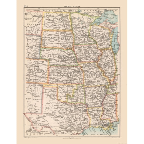 Historic Map - United States Central - Bartholomew 1892 - Vintage Wall Art$45.95current price $45.95
Historic State Map - United States - Hammond 1910 - Vintage Wall Art
 Historic State Map - United States - Hammond 1910 - Vintage Wall Art$40.95current price $40.95
Historic Map - World - Rand McNally - Vintage Wall Art
 Historic Map - World - Rand McNally - Vintage Wall Art$40.95current price $40.95
Historic State Map - United States - Reynold 1921 - Vintage Wall Art
 Historic State Map - United States - Reynold 1921 - Vintage Wall Art$40.95current price $40.95
Historic Map - World - Hammond 1910 - Vintage Wall Art
 Historic Map - World - Hammond 1910 - Vintage Wall Art$40.95current price $40.95
Historic Map - World America 1492 to 1499 - Bleau - Vintage Wall Art
 Historic Map - World America 1492 to 1499 - Bleau - Vintage Wall Art$40.95current price $40.95
Topographical Map - Gonzales California Quad - USGS 1921 - Vintage Wall Art
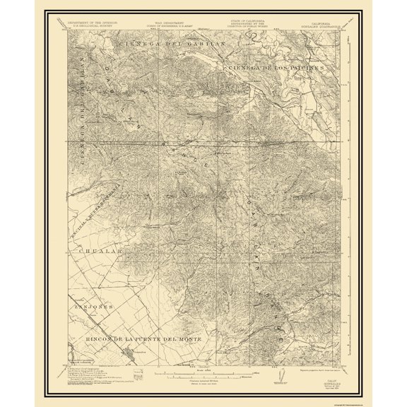 Topographical Map - Gonzales California Quad - USGS 1921 - Vintage Wall Art$40.95current price $40.95
Historic State Map - California - Hoen 1896 - Vintage Wall Art
 Historic State Map - California - Hoen 1896 - Vintage Wall Art$40.95current price $40.95
Map of South America - Vintage Colored Cartographic Map by J. Rapkin c.1851 - Master Art Print (Unframed) 9in x 12in
 Map of South America - Vintage Colored Cartographic Map by J. Rapkin c.1851 - Master Art Print (Unframed) 9in x 12in$14.98current price $14.98
Historic State Map - Southeast Coast - Mitchell 1869 - Vintage Wall Art
 Historic State Map - Southeast Coast - Mitchell 1869 - Vintage Wall Art$40.95current price $40.95
Historic State Map - United States Territories Districts - Barber 1835 - Vintage Wall Art
 Historic State Map - United States Territories Districts - Barber 1835 - Vintage Wall Art$40.95current price $40.95
Historic Map - Europe - Hammond 1910 - Vintage Wall Art
 Historic Map - Europe - Hammond 1910 - Vintage Wall Art$40.95current price $40.95
Map of Puyallup, Washington, Multiline Coordinates Colored (8x10)
Map of Puyallup, Washington, Multiline Coordinates Colored (8x10)
Topographical Map - Grand Teton National Park Wyoming Sheet - USGS 1948 - Vintage Wall Art
 Topographical Map - Grand Teton National Park Wyoming Sheet - USGS 1948 - Vintage Wall Art$45.95current price $45.95
Great BIG Canvas | "Vintage rusty map of USA" Art Print - 24x16
Great BIG Canvas | "Vintage rusty map of USA" Art Print - 24x16