

Printing Nj Map(113)
Historic Framed Print, NJ Atlantic City 1900 MAP, 17-7/8" x 21-7/8" $298.00

Historic Framed Print, NJ Atlantic City 1900 MAP, 17-7/8" x 21-7/8"
36x64 New Jersey State Official Executive Laminated Wall Map $59.00

36x64 New Jersey State Official Executive Laminated Wall Map
Historic Framed Print, NJ Rutherford 1904 MAP, 17-7/8" x 21-7/8" $298.00

Historic Framed Print, NJ Rutherford 1904 MAP, 17-7/8" x 21-7/8"
HISTORIX 1777 Map of New Jersey State Vintage Poster Wall Art Print, 24 x 36 Inch $84.99

HISTORIX 1777 Map of New Jersey State Vintage Poster Wall Art Print, 24 x 36 Inch
Historic Framed Print, NJ Woodbury 1886 MAP, 17-7/8" x 21-7/8" $298.00

Historic Framed Print, NJ Woodbury 1886 MAP, 17-7/8" x 21-7/8"
New Jersey 1855 Vintage Map 11x14 Unframed Print Antique Cartography Poster Reproduction with Counties Rivers Railroads Towns Historical Wall Art Rustic Garden State Decor for Home Office Classroom $14.99

New Jersey 1855 Vintage Map 11x14 Unframed Print Antique Cartography Poster Reproduction with Counties Rivers Railroads Towns Historical Wall Art Rustic Garden State Decor for Home Office Classroom
Historic Map of Rutherford New Jersey 1904 Bergen County Canvas Art - (36 x 54) $283.38
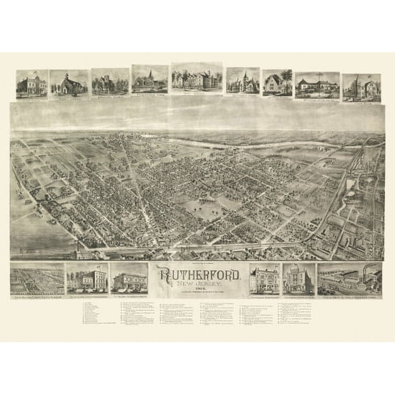
Historic Map of Rutherford New Jersey 1904 Bergen County Canvas Art - (36 x 54)
Historic Map of Asbury Park New Jersey 1910 Monmouth County Canvas Art - (36 x 54) $283.38

Historic Map of Asbury Park New Jersey 1910 Monmouth County Canvas Art - (36 x 54)
Vintage Map of Atlantic City New Jersey 1909 Atlantic County Canvas Art - (24 x 36) $125.96

Vintage Map of Atlantic City New Jersey 1909 Atlantic County Canvas Art - (24 x 36)
Historic State Map - New Jersey - Burr 1835 - Vintage Wall Art From $36.95
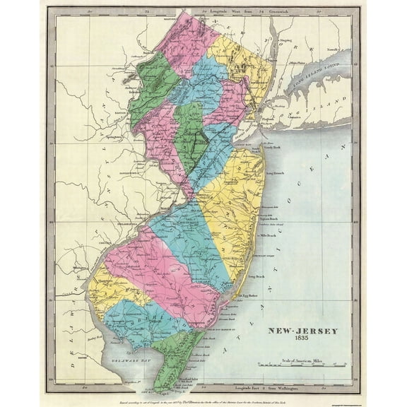
Historic State Map - New Jersey - Burr 1835 - Vintage Wall Art
Antique Map of Atlantic City New Jersey 1880 Atlantic County Canvas Art - (36 x 54) $283.38

Antique Map of Atlantic City New Jersey 1880 Atlantic County Canvas Art - (36 x 54)
Antique Map of Atlantic City New Jersey 1880 Atlantic County Canvas Art - (24 x 36) $125.96

Antique Map of Atlantic City New Jersey 1880 Atlantic County Canvas Art - (24 x 36)
Historic Map of Asbury Park New Jersey 1910 Monmouth County Canvas Art - (24 x 36) $125.96

Historic Map of Asbury Park New Jersey 1910 Monmouth County Canvas Art - (24 x 36)
Historic Framed Print, NJ Margate City 1924 MAP, 17-7/8" x 21-7/8" $298.00

Historic Framed Print, NJ Margate City 1924 MAP, 17-7/8" x 21-7/8"
Antique Map of Atlantic City New Jersey 1880 Atlantic County Canvas Art - (18 x 24) $62.99

Antique Map of Atlantic City New Jersey 1880 Atlantic County Canvas Art - (18 x 24)
Historic Framed Print, NJ Westfield 1929 MAP, 17-7/8" x 21-7/8" $298.00

Historic Framed Print, NJ Westfield 1929 MAP, 17-7/8" x 21-7/8"
24"x36" Gallery Poster, map new jersey york massachusetts 1759 latin p2 $47.95
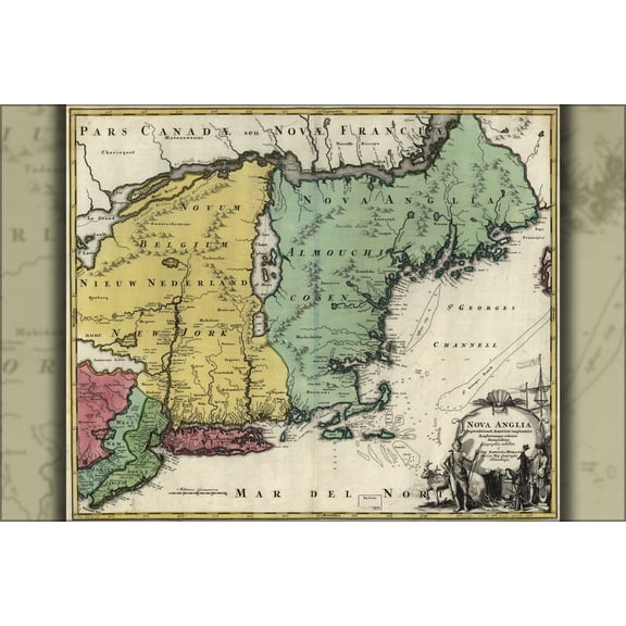
24"x36" Gallery Poster, map new jersey york massachusetts 1759 latin p2
Old Map of Atlantic City New Jersey 1910 Atlantic County Canvas Art - (18 x 24) $62.99

Old Map of Atlantic City New Jersey 1910 Atlantic County Canvas Art - (18 x 24)
Historic Print, NJ New Brunswick 1880 MAP, 18" x 24" $71.00

Historic Print, NJ New Brunswick 1880 MAP, 18" x 24"
Antique Map of Ocean Grove New Jersey 1881 Monmouth County Canvas Art - (18 x 24) $62.99
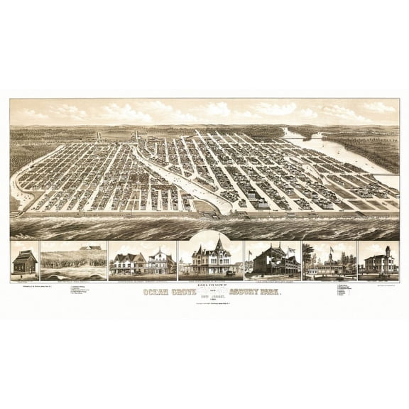
Antique Map of Ocean Grove New Jersey 1881 Monmouth County Canvas Art - (18 x 24)
Historic Map of Asbury Park New Jersey 1910 Monmouth County Canvas Art - (18 x 24) $62.99

Historic Map of Asbury Park New Jersey 1910 Monmouth County Canvas Art - (18 x 24)
Vintage Map of Atlantic City New Jersey 1909 Atlantic County Canvas Art - (18 x 24) $62.99

Vintage Map of Atlantic City New Jersey 1909 Atlantic County Canvas Art - (18 x 24)
Kna Prints - 1 Pc Poster Vintage Map Of Princeton Nj (1915), UNFRAMED-8x12

Kna Prints - 1 Pc Poster Vintage Map Of Princeton Nj (1915), UNFRAMED-8x12
Historic Framed Print, NJ Hackensack 1896 MAP, 17-7/8" x 21-7/8" $298.00

Historic Framed Print, NJ Hackensack 1896 MAP, 17-7/8" x 21-7/8"
Antique Map of Maplewood New Jersey 1910 Essex County Canvas Art - (18 x 24) $63.75

Antique Map of Maplewood New Jersey 1910 Essex County Canvas Art - (18 x 24)
Historic Map of New Brunswick New Jersey 1910 Middlesex County Canvas Art - (24 x 36) $125.96

Historic Map of New Brunswick New Jersey 1910 Middlesex County Canvas Art - (24 x 36)
Vintage Map of Paterson New Jersey 1880 Passaic County Canvas Art - (36 x 54) $283.38

Vintage Map of Paterson New Jersey 1880 Passaic County Canvas Art - (36 x 54)
Trademark Fine Art Design Turnpike New Jersey License Plate Map Canvas Wall Art - 14x14 From $29.95

Trademark Fine Art Design Turnpike New Jersey License Plate Map Canvas Wall Art - 14x14
Historic Map of Ocean City New Jersey 1903 Cape May County Canvas Art - (36 x 54) $286.82

Historic Map of Ocean City New Jersey 1903 Cape May County Canvas Art - (36 x 54)
Historic Map of Atlantic Highlands New Jersey 1894 Monmouth County Canvas Art - (18 x 24) $63.75

Historic Map of Atlantic Highlands New Jersey 1894 Monmouth County Canvas Art - (18 x 24)
Historic Map of New Brunswick New Jersey 1910 Middlesex County Canvas Art - (18 x 24) $63.75

Historic Map of New Brunswick New Jersey 1910 Middlesex County Canvas Art - (18 x 24)
Historic Framed Print, NJ Egg Harbor 1865 MAP, 17-7/8" x 21-7/8" $298.00

Historic Framed Print, NJ Egg Harbor 1865 MAP, 17-7/8" x 21-7/8"
Antique Map of Maplewood New Jersey 1910 Essex County Canvas Art - (24 x 36) $125.96

Antique Map of Maplewood New Jersey 1910 Essex County Canvas Art - (24 x 36)
Historic Map of Rutherford New Jersey 1904 Bergen County Canvas Art - (18 x 24) $62.99
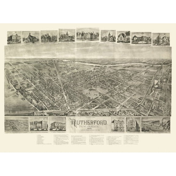
Historic Map of Rutherford New Jersey 1904 Bergen County Canvas Art - (18 x 24)
Historic County Map - Bergen County New Jersey - Colton 1896 - Vintage Wall Art From $36.95

Historic County Map - Bergen County New Jersey - Colton 1896 - Vintage Wall Art
Canvas 24x36; Map Easton Pennsylvania Phillipsburg Nj 1900 $159.95

Canvas 24x36; Map Easton Pennsylvania Phillipsburg Nj 1900
Vintage Map of Newark New Jersey 1895 Essex County Canvas Art - (36 x 54) $283.38

Vintage Map of Newark New Jersey 1895 Essex County Canvas Art - (36 x 54)
Antique Map of Ocean Grove New Jersey 1881 Monmouth County Canvas Art - (36 x 54) $283.38
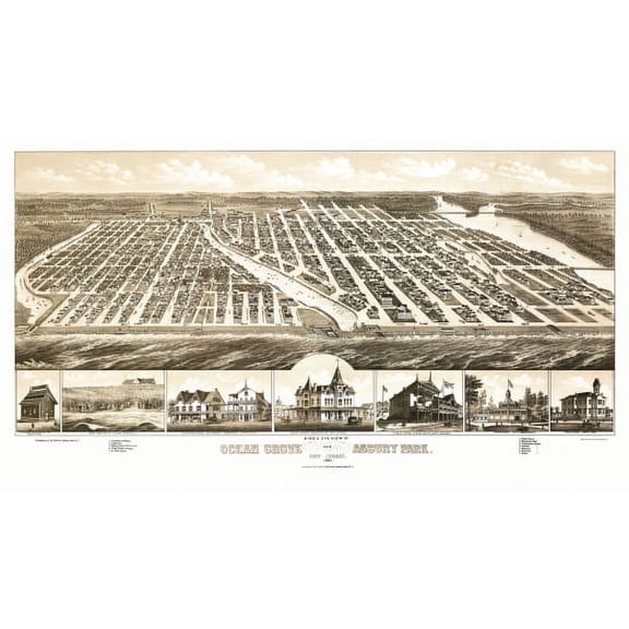
Antique Map of Ocean Grove New Jersey 1881 Monmouth County Canvas Art - (36 x 54)
Antique Map of Newark New Jersey 1874 Essex County Canvas Art - (36 x 54) $283.38

Antique Map of Newark New Jersey 1874 Essex County Canvas Art - (36 x 54)
Old Map of Asbury Park New Jersey 1897 Monmouth County Canvas Art - (36 x 54) $283.38
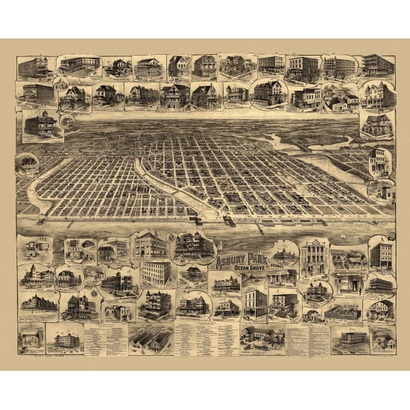
Old Map of Asbury Park New Jersey 1897 Monmouth County Canvas Art - (36 x 54)
Other options to consider(369)
FAQ
How do I pick the right size map print?
Choosing the right size for a map print depends on where you plan to display it and the look you want to achieve. Consider measuring your wall space and visualizing how the map will fit. For a focal point, larger sizes like 24x36 inches can stand out, while smaller prints work well in tighter spaces or as part of a gallery wall.
- Measure the intended wall area.
- Think about the frame size if you plan to add one.
- Consider the overall decor style to ensure the map complements your room.
It's a good idea to check product details for exact dimensions before purchasing.
Are these vintage maps good for classrooms?
Vintage map prints can be a great addition to classrooms, offering a historical perspective and sparking curiosity about geography and local history. They're often used for educational displays, art projects, or as visual aids during lessons.
- Check the map's details to ensure the information is relevant to your curriculum.
- Look for prints with clear labels and readable text.
- Unframed options may be easier to pin or tape to classroom walls.
While these maps show historical boundaries and features, they may not reflect current geography, so supplement with up-to-date resources as needed.
Can I frame these map prints myself?
Most map prints are designed to fit standard frame sizes, making it easy to frame them yourself. You can choose a frame style that matches your decor, and many prints come unframed, giving you flexibility in how you display them.
- Measure your print to ensure you select the correct frame size.
- Consider matting for added effect and protection.
- Follow the frame manufacturer's instructions for best results.
DIY framing can be a fun way to personalize your space and protect your map print.
What makes a map print 'vintage'?
A 'vintage' map print typically features artwork or cartographic styles from past eras, such as the 18th or 19th century. These prints often include old place names, historical borders, and artistic flourishes that reflect the period when the map was first created.
- Look for details like aged colors, elaborate fonts, and antique-style legends.
- Reproductions aim to capture the look of the original while offering modern print quality.
Vintage maps are popular for their charm and historical value, adding a unique touch to home or office decor.
How do I care for a map print at home?
To keep your map print looking its best, handle it with clean hands and avoid exposing it to direct sunlight, which can cause fading over time. If you're framing the print, use acid-free materials to help prevent discoloration.
- Dust gently with a soft, dry cloth.
- Keep prints away from moisture and humidity.
- If storing, roll the print loosely in a protective tube.
Proper care can help your map print remain a beautiful addition to your space for years to come.
Popular in Printing NJ Map Art Prints for Home Decor
Related Products
New York City Subway Map 1979-11x14 Unframed Art Print Poster Paper - Classic Outdoor Decor, Old Map of NYC Subway, Historical Map of New York, Classic Gift for Map Enthusiast and Cartography
 New York City Subway Map 1979-11x14 Unframed Art Print Poster Paper - Classic Outdoor Decor, Old Map of NYC Subway, Historical Map of New York, Classic Gift for Map Enthusiast and Cartography$14.99current price $14.99
Historic Map - United States Central - Bartholomew 1892 - Vintage Wall Art
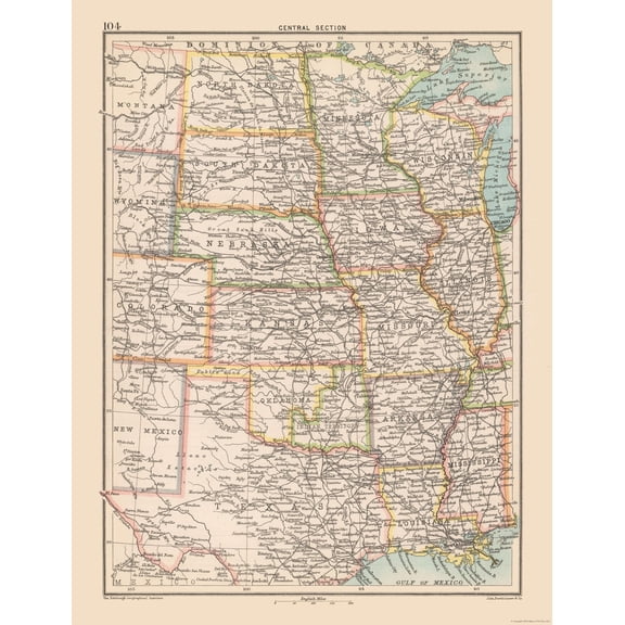 Historic Map - United States Central - Bartholomew 1892 - Vintage Wall Art$45.95current price $45.95
Historic State Map - United States - Hammond 1910 - Vintage Wall Art
 Historic State Map - United States - Hammond 1910 - Vintage Wall Art$40.95current price $40.95
Historic Map - World - Hammond 1910 - Vintage Wall Art
 Historic Map - World - Hammond 1910 - Vintage Wall Art$40.95current price $40.95
Historic Map - World - Rand McNally - Vintage Wall Art
 Historic Map - World - Rand McNally - Vintage Wall Art$40.95current price $40.95
Historic Map - World America 1492 to 1499 - Bleau - Vintage Wall Art
 Historic Map - World America 1492 to 1499 - Bleau - Vintage Wall Art$40.95current price $40.95
Historic State Map - United States - Reynold 1921 - Vintage Wall Art
 Historic State Map - United States - Reynold 1921 - Vintage Wall Art$40.95current price $40.95
Historic State Map - California - Hoen 1896 - Vintage Wall Art
 Historic State Map - California - Hoen 1896 - Vintage Wall Art$40.95current price $40.95
Topographical Map - Gonzales California Quad - USGS 1921 - Vintage Wall Art
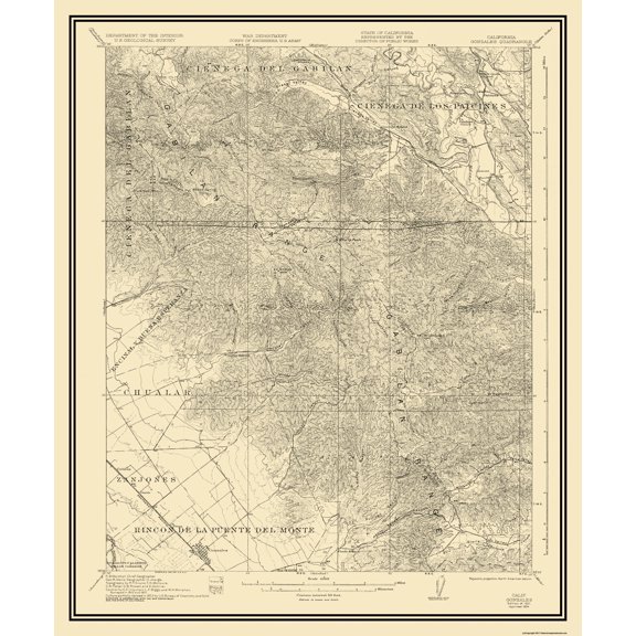 Topographical Map - Gonzales California Quad - USGS 1921 - Vintage Wall Art$40.95current price $40.95
Map of South America - Vintage Colored Cartographic Map by J. Rapkin c.1851 - Master Art Print (Unframed) 9in x 12in
 Map of South America - Vintage Colored Cartographic Map by J. Rapkin c.1851 - Master Art Print (Unframed) 9in x 12in$14.98current price $14.98
Alaska Map Wall Art Poster - Authentic Hand Drawn Maps in Old World, Antique Style - Art Deco for Home Office Décor - Lithographic Print
 Alaska Map Wall Art Poster - Authentic Hand Drawn Maps in Old World, Antique Style - Art Deco for Home Office Décor - Lithographic Print$34.70current price $34.70
Historic Map - World Winds Navigation - Petermann - Vintage Wall Art
 Historic Map - World Winds Navigation - Petermann - Vintage Wall Art$40.95current price $40.95
Topographical Map - Grand Teton National Park Wyoming Sheet - USGS 1948 - Vintage Wall Art
 Topographical Map - Grand Teton National Park Wyoming Sheet - USGS 1948 - Vintage Wall Art$45.95current price $45.95
Historic State Map - Southeast Coast - Mitchell 1869 - Vintage Wall Art
 Historic State Map - Southeast Coast - Mitchell 1869 - Vintage Wall Art$40.95current price $40.95
Map of Puyallup, Washington, Multiline Coordinates Colored (8x10)
Map of Puyallup, Washington, Multiline Coordinates Colored (8x10)
State of Maine Wildlife Map - New England - Vintage Pictorial Map by J.G. Shelley & Louis Koster c.1950s - Master Art Print (Unframed) 9in x 12in
 State of Maine Wildlife Map - New England - Vintage Pictorial Map by J.G. Shelley & Louis Koster c.1950s - Master Art Print (Unframed) 9in x 12in$14.98current price $14.98