State Capitol Map(6)
Wall Art Impressions Detailed Laminated 2023 California State Map Poster, 24" x 24" From $21.99

Wall Art Impressions Detailed Laminated 2023 California State Map Poster, 24" x 24"
31x24in Arizona detailed map of with boundaries, state capital Phoenix, major cities 【Coated Paper】 From $22.99

31x24in Arizona detailed map of with boundaries, state capital Phoenix, major cities 【Coated Paper】
Political Map of USA with Major Cities Poster - Educational Wall Art | Home Decor 【Laminated】 From $33.19

Political Map of USA with Major Cities Poster - Educational Wall Art | Home Decor 【Laminated】
24"x36" Gallery Poster, map of Washington d.c. U.S. Capitol 1890 $52.95

24"x36" Gallery Poster, map of Washington d.c. U.S. Capitol 1890
HISTORIX 1871 Washington DC Map Art - 24x36 Inch Vintage Washington DC Print - Historic United States Capitol Building Washington DC Wall Art - Old Map Washington DC Poster (2 Sizes) From $39.99

HISTORIX 1871 Washington DC Map Art - 24x36 Inch Vintage Washington DC Print - Historic United States Capitol Building Washington DC Wall Art - Old Map Washington DC Poster (2 Sizes)
24"x36" Gallery Poster, map of U.S. Capitol grounds washington dc 1874 $52.95

24"x36" Gallery Poster, map of U.S. Capitol grounds washington dc 1874
Other options to consider(94)
New, Adams Map of History, Gold-stamped Cover Adams History Chart Synchronological Map, Adamss Time Chart 2.0, Large Wall Panel Map for Home Study, Educational Gift for Mom Dad Adults Teen $25.98

Adams Map of History, Gold-stamped Cover Adams History Chart Synchronological Map, Adamss Time Chart 2.0, Large Wall Panel Map for Home Study, Educational Gift for Mom Dad Adults Teen
Best seller, 24x36 United States, USA US Decorator Wall Map Poster Mural Laminated $14.90

24x36 United States, USA US Decorator Wall Map Poster Mural Laminated
United States Map with State Capitals, Calming Illustration for Map Lovers, Educational Wall Art, Back to School Gift, Tapestry Wall Hanging for Classroom and Office From $12.99


United States Map with State Capitals, Calming Illustration for Map Lovers, Educational Wall Art, Back to School Gift, Tapestry Wall Hanging for Classroom and Office
48x78 Huge United States, USA Classic Elite Wall Map Laminated From $12.99

48x78 Huge United States, USA Classic Elite Wall Map Laminated
Stupell Industries Contemporary USA Map State Abbreviations and Capitals Playful Tones Wall Plaque Art, 13 x 19, by Anna Quach From $15.98
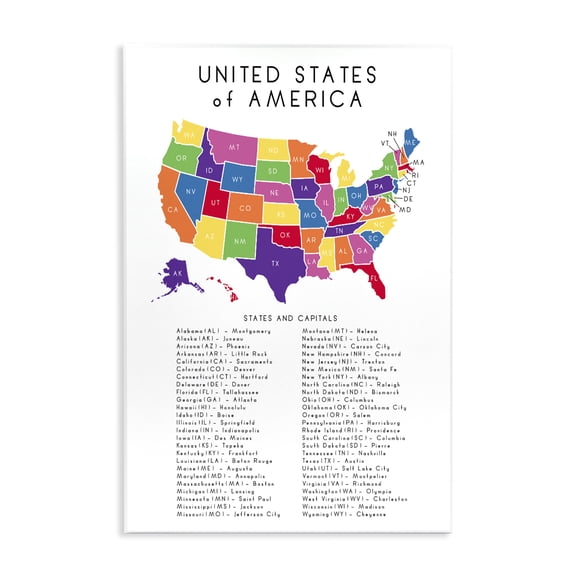
Stupell Industries Contemporary USA Map State Abbreviations and Capitals Playful Tones Wall Plaque Art, 13 x 19, by Anna Quach
Swiftmaps Executive and Commercial State Wall Map, 36"x48" $59.00

Swiftmaps Executive and Commercial State Wall Map, 36"x48"
National Parks Of America Vintage Map Poster Home Decor Office Wall Art From $21.30

National Parks Of America Vintage Map Poster Home Decor Office Wall Art
36x50 Pennsylvania State Official Executive Laminated Wall Map $59.00

36x50 Pennsylvania State Official Executive Laminated Wall Map


Political Map of The Middle East Wall Chart Educational Geography Poster with Major Cities and Capitals for School Office and Home Decor From $8.90


Political Map of The Middle East Wall Chart Educational Geography Poster with Major Cities and Capitals for School Office and Home Decor
Swiftmaps Georgia State Official Executive Laminated Wall Map, 36x48 $59.00

Swiftmaps Georgia State Official Executive Laminated Wall Map, 36x48
36x54 Indiana State Official Executive Laminated Wall Map $59.00
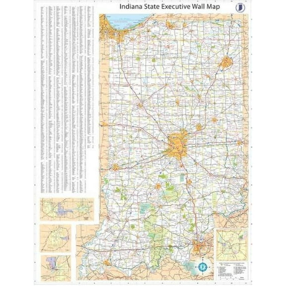
36x54 Indiana State Official Executive Laminated Wall Map
Historic State Map - United States Territorial Growth - Cram 1892 - Vintage Wall Art From $36.95

Historic State Map - United States Territorial Growth - Cram 1892 - Vintage Wall Art
UNITED STATES MAP WITH CAPITALS GLOSSY POSTER PICTURE BANNER PRINT PHOTO US Poster Size 24''x36'' GoldenGate JSC $25.99

UNITED STATES MAP WITH CAPITALS GLOSSY POSTER PICTURE BANNER PRINT PHOTO US Poster Size 24''x36'' GoldenGate JSC
24"x36" Gallery Poster, map of national capital Washington City D.C. 1883 $52.95

24"x36" Gallery Poster, map of national capital Washington City D.C. 1883
Swiftmaps Florida State Laminated Wall Map 36" x 48" Poster $48.00
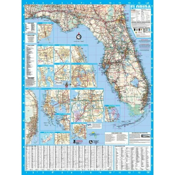
Swiftmaps Florida State Laminated Wall Map 36" x 48" Poster
36x64 New Jersey State Official Executive Laminated Wall Map $59.00

36x64 New Jersey State Official Executive Laminated Wall Map
48x66 Georgia State Official Executive Laminated Wall Map $89.95
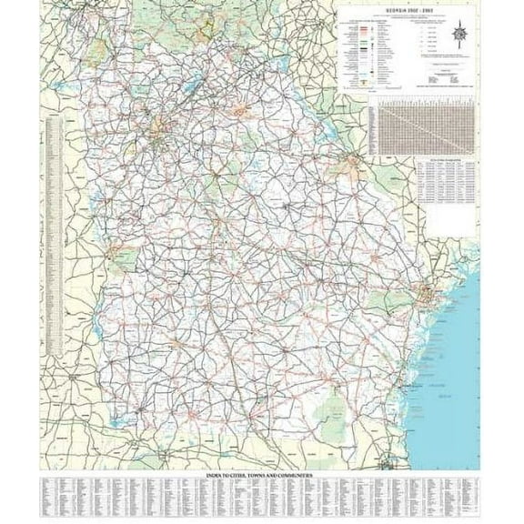
48x66 Georgia State Official Executive Laminated Wall Map
Poster Size Wall Map United States of America 39.4" X 27.5" Teaching Tree $10.50

Poster Size Wall Map United States of America 39.4" X 27.5" Teaching Tree
Historic State Map - Florida - Cram 1892 - Vintage Wall Art From $36.95

Historic State Map - Florida - Cram 1892 - Vintage Wall Art
36x48 Arkansas State Official Executive Laminated Wall Map $59.00

36x48 Arkansas State Official Executive Laminated Wall Map


Historic State Map - Nevada - USGLO 1879 - Vintage Wall Art From $36.95

Historic State Map - Nevada - USGLO 1879 - Vintage Wall Art
36x54 Illinois State Official Executive Laminated Wall Map $59.00
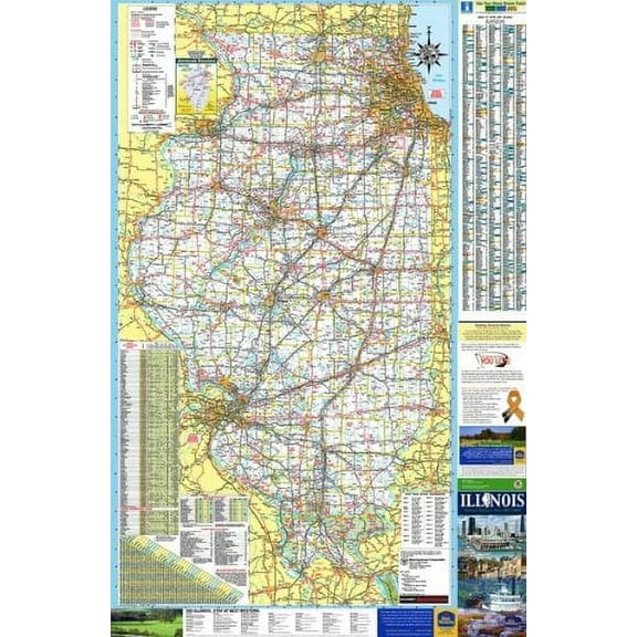
36x54 Illinois State Official Executive Laminated Wall Map
Florida Map Wall Art Print Vintage State Wall Decor From $18.99

Florida Map Wall Art Print Vintage State Wall Decor
Historic State Map - Mississippi - Cram 1892 - Vintage Wall Art From $36.95

Historic State Map - Mississippi - Cram 1892 - Vintage Wall Art
Historic State Map - United States - Cram 1888 - Vintage Wall Art From $36.95

Historic State Map - United States - Cram 1888 - Vintage Wall Art
Colorful map of the United States with States and State capitals Poster Print - Blursbyai Rosana Laiz (36 x 24) $88.00

Colorful map of the United States with States and State capitals Poster Print - Blursbyai Rosana Laiz (36 x 24)
Historic State Map - Nevada - Cram 1892 - Vintage Wall Art From $36.95

Historic State Map - Nevada - Cram 1892 - Vintage Wall Art
Blue watercolor map of the USA with states and state capitals Poster Print - Blursbyai Rosana Laiz (24 x 16) From $37.83

Blue watercolor map of the USA with states and state capitals Poster Print - Blursbyai Rosana Laiz (24 x 16)
Poster: Large scale detailed political map of the middle east with major cities and capitals From $12.99
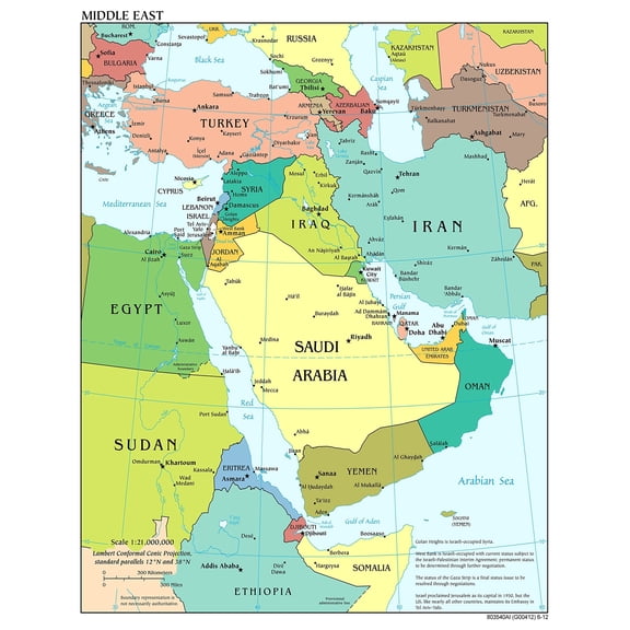

Poster: Large scale detailed political map of the middle east with major cities and capitals
FAQ
how can I use a state capitol map for learning?
State capitol maps can be a fun way to explore geography and history. You might use them to identify capitals, major cities, and boundaries, helping to boost your knowledge of the United States.
- Try marking each state capital and nearby cities.
- Compare political and historical maps for different time periods.
- Use them as visual aids for quizzes or classroom activities.
Maps can encourage interactive learning whether you're studying solo or with a group.
what's the difference between vintage and modern capitol maps?
Vintage and modern capitol maps offer unique perspectives on geography and design. Vintage maps, like those from the 1800s, often highlight historical boundaries and artistic details. Modern maps typically feature updated city names, current state lines, and clearer labeling.
- Vintage maps can showcase past layouts and architecture.
- Modern maps use contemporary information and materials.
Choosing between the two depends on whether you prefer a historical look or want current details.
how do I choose the right map size for my space?
Picking the right map size depends on where you plan to display it and how you want it to look. Consider the available wall space and the level of detail you want to see.
- Measure your wall before deciding on a poster size.
- Smaller spaces may suit 24" x 24" maps, while larger rooms can accommodate 24" x 36" posters.
- Think about whether you want the map as a focal point or a subtle accent.
Matching the map size to your room ensures it fits in seamlessly.
can I use these maps for school projects?
State capitol maps can definitely support school projects and presentations. They're great for visualizing locations, boundaries, and historical changes in the U.S.
- Create informative displays about state capitals and their history.
- Use maps as reference tools for geography assignments.
- Include them in research projects about government or city development.
Maps add a visual element that can make your schoolwork more engaging and easier to understand.
what's the best way to hang a map poster?
Hanging a map poster is easy and can help preserve its quality. Consider using methods that won't damage the poster or your wall.
- Use removable adhesive strips for a clean look.
- Frame the map to protect it from dust and wrinkles.
- Opt for tacks or push pins if you prefer a casual display.
Choosing the right hanging method depends on your style and whether you want to keep the map in pristine condition.
Popular in State Capitol Map
- State Park Map
- Us Interstate Map States
- Interstate Maps
- Nc Physical Map
- Elwood City Map
- 2020 States Map
- National Parks Posters
- Central America Travel Books, Maps & Guides
- Southern United States Travel Books, Maps & Guides
- General United States Travel Books, Maps & Guides
- Midwest United States Travel Books, Maps & Guides
- Northeast United States Travel Books, Maps & Guides
Related Products
UNCLE WU United States Map Wall 18" x 24" Poster
 UNCLE WU United States Map Wall 18" x 24" Poster$10.90current price $10.90
Swiftmaps United States Classic Wall Map Poster 24" x 36" Framed
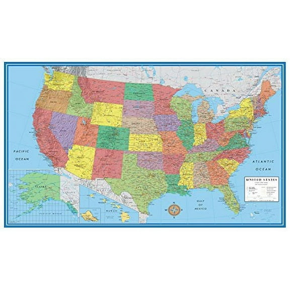 Swiftmaps United States Classic Wall Map Poster 24" x 36" Framed$21.90current price $21.90
2006 Latin America Map Poster - Central and South America Map - Latin American Poster - South America Map Poster - South America Wall Map
 2006 Latin America Map Poster - Central and South America Map - Latin American Poster - South America Map Poster - South America Wall Map$39.99current price $39.99
North America Map 2024 Wall Poster, 22.375" x 34"
 North America Map 2024 Wall Poster, 22.375" x 34"$19.79current price $19.79
1776 Plan of New York City Map Print - NYC Vintage Map Wall Art - Map of New York City Poster - New York City Map Art - Vintage New York Poster - NYC Map Art
 1776 Plan of New York City Map Print - NYC Vintage Map Wall Art - Map of New York City Poster - New York City Map Art - Vintage New York Poster - NYC Map Art$39.99current price $39.99
The New World Ca.1600 Maps Poster Print - 18 x 24 in.
 The New World Ca.1600 Maps Poster Print - 18 x 24 in.$39.80current price $39.80
24"x36" Gallery Poster, 1771 map of north america united states colonies
 24"x36" Gallery Poster, 1771 map of north america united states colonies$52.95current price $52.95
1875 New York State Map - Vintage Map of New York Wall Art - Historic Map of New York - New York State Poster - New York Map Art - Map of New York Poster - NY Map
 1875 New York State Map - Vintage Map of New York Wall Art - Historic Map of New York - New York State Poster - New York Map Art - Map of New York Poster - NY Map$84.99current price $84.99
24"x36" Gallery Poster, map of north america pre united states 1768 P11
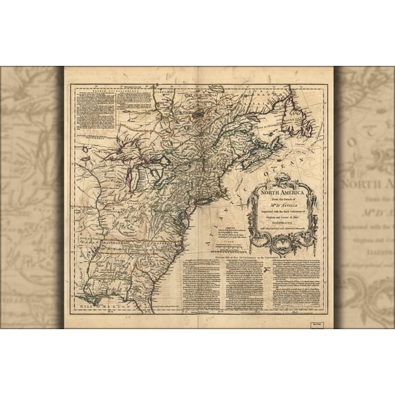 24"x36" Gallery Poster, map of north america pre united states 1768 P11$52.95current price $52.95
HISTORIX 1776 Map of Southern British Colonies in America Vintage Poster Wall Art Print, 18 x 24 Inch
 HISTORIX 1776 Map of Southern British Colonies in America Vintage Poster Wall Art Print, 18 x 24 Inch$39.99current price $39.99
24x36 Poster; WWI Map Of Europe & Force Size 1917; Antique Reprint
 24x36 Poster; WWI Map Of Europe & Force Size 1917; Antique Reprint$52.95current price $52.95
Iconic Arts Laminated 24x24 Poster: Topographic Map - Detailed Topographical map of Iceland. Iceand Detailed Topographical mapMaps of
Iconic Arts Laminated 24x24 Poster: Topographic Map - Detailed Topographical map of Iceland. Iceand Detailed Topographical mapMaps of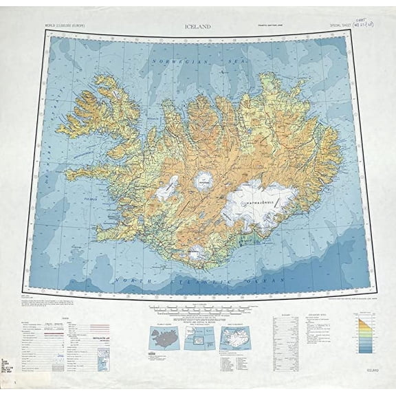
24"x36" Gallery Poster, WWI map of europe & force size 1917
 24"x36" Gallery Poster, WWI map of europe & force size 1917$52.95current price $52.95
Alaska Map Wall Art Poster - Authentic Hand Drawn Maps in Old World, Antique Style - Art Deco for Home Office Décor - Lithographic Print
 Alaska Map Wall Art Poster - Authentic Hand Drawn Maps in Old World, Antique Style - Art Deco for Home Office Décor - Lithographic Print$34.70current price $34.70
Iconic Arts Laminated 24x28 Poster: Political Map - North America Political Wall Map
Iconic Arts Laminated 24x28 Poster: Political Map - North America Political Wall Map
South America Map Circa 1760 - Historic Cartography Art Print
 South America Map Circa 1760 - Historic Cartography Art Print$16.42current price $16.42
2025 Color Map Of United States USA Updated With Gul-f Of America And Mount M-cKinley Art Print Poster 12x18, crgrtght 2025 2025 Color Map Of United
 2025 Color Map Of United States USA Updated With Gul-f Of America And Mount M-cKinley Art Print Poster 12x18, crgrtght 2025 2025 Color Map Of United$7.79current price $7.79