

State List Map(98)
Best seller, 24x36 United States, USA, US Premier Wall Map Paper Folded $12.90

24x36 United States, USA, US Premier Wall Map Paper Folded
Rand McNally Easy to Read: Oklahoma State Map $9.99

Rand McNally Easy to Read: Oklahoma State Map
Rand McNally Easy to Read: Kentucky State Map (Folded) $9.99

Rand McNally Easy to Read: Kentucky State Map (Folded)
In 100+ people's carts, Rand McNally 2027 Large Scale Road Atlas, (Paperback) $30.75

Rand McNally 2027 Large Scale Road Atlas, (Paperback)
Best seller, 50 State Quarters Map (Other) $12.95

50 State Quarters Map (Other)
Rand McNally Easy to Read Foldable 2024 State Map, 3.94 x 0.16 in $9.29

Rand McNally Easy to Read Foldable 2024 State Map, 3.94 x 0.16 in
In 50+ people's carts, United States Road Atlas Map 2026 - Large Print: Detailed Road Maps, Interstate Highways, National Parks & Scenic Drives, (Paperback) $15.99

United States Road Atlas Map 2026 - Large Print: Detailed Road Maps, Interstate Highways, National Parks & Scenic Drives, (Paperback)
Rand McNally Easy to Read: Hawaii State Map, (Paperback) $9.99

Rand McNally Easy to Read: Hawaii State Map, (Paperback)
Rand McNally Easy to Read: Texas State Map $11.89

Rand McNally Easy to Read: Texas State Map
Best seller, Rand McNally 2027 Road Atlas, (Paperback) $24.99

Rand McNally 2027 Road Atlas, (Paperback)
50" x 32" RMC Signature Edition United States Wall Map - Laminated $18.98

50" x 32" RMC Signature Edition United States Wall Map - Laminated
Rand McNally State Maps: New York and Pennsylvania (2 Maps) $17.95

Rand McNally State Maps: New York and Pennsylvania (2 Maps)
Rand McNally Folded Map: Eastern United States, (Paperback) $9.99

Rand McNally Folded Map: Eastern United States, (Paperback)
Rand McNally Easy to Read: Connecticut, Rhode Island State Map, (Paperback) $9.31

Rand McNally Easy to Read: Connecticut, Rhode Island State Map, (Paperback)
Rand McNally Easy to Read: Florida State Map, (Paperback) $9.81

Rand McNally Easy to Read: Florida State Map, (Paperback)
Rand McNally Easy to Read: Michigan State Map, (Paperback) $9.99

Rand McNally Easy to Read: Michigan State Map, (Paperback)
Americana The 50 States: Explore the U.S.A. with 50 Fact-Filled Maps!, Book 1, (Hardcover) $15.67 Was $21.27

Americana The 50 States: Explore the U.S.A. with 50 Fact-Filled Maps!, Book 1, (Hardcover)
FOMIYES Usa Map Teaching Poster with Detailed State Labels and Uv Paper $12.26
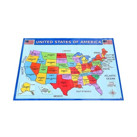
FOMIYES Usa Map Teaching Poster with Detailed State Labels and Uv Paper
New, USA Road Atlas 2027: Large-Scale Road Maps of All 50 States, (Paperback) $24.99
USA Road Atlas 2027: Large-Scale Road Maps of All 50 States, (Paperback)
Swiftmaps Florida State Laminated Wall Map 36" x 48" Poster $48.00
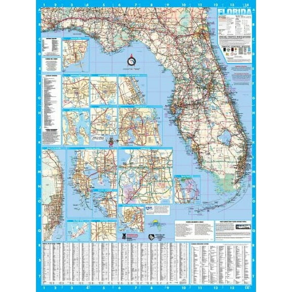
Swiftmaps Florida State Laminated Wall Map 36" x 48" Poster
Rand McNally Easy to Read: California State Map, (Paperback) $11.17

Rand McNally Easy to Read: California State Map, (Paperback)
50 States: Activity Book: Maps of the 50 States of the USA $6.99 Was $9.99

50 States: Activity Book: Maps of the 50 States of the USA
Rand McNally Easy to Fold: Arizona State Laminated Map, (Paperback) $10.99

Rand McNally Easy to Fold: Arizona State Laminated Map, (Paperback)
Best seller, Rand McNally 2027 Road Atlas & National Park Guide, (Paperback) $32.61

Rand McNally 2027 Road Atlas & National Park Guide, (Paperback)
Rand McNally Easy to Read Folded Map: Arizona State Map, (Paperback) $9.99

Rand McNally Easy to Read Folded Map: Arizona State Map, (Paperback)
Rand McNally Easy to Fold: Michigan State Map, (Paperback) $10.99

Rand McNally Easy to Fold: Michigan State Map, (Paperback)
Rand McNally Easy to Fold: Florida State Laminated Map, (Paperback) $10.24

Rand McNally Easy to Fold: Florida State Laminated Map, (Paperback)
Rand McNally Easy to Read: Washington State Map, (Paperback) $9.31
Rand McNally Easy to Read: Washington State Map, (Paperback)
Rand McNally State Maps: Arkansas and Oklahoma (2 Maps) $17.95
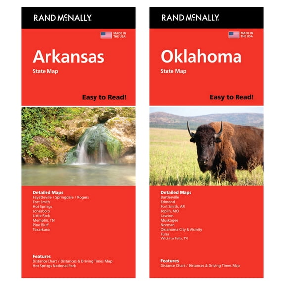
Rand McNally State Maps: Arkansas and Oklahoma (2 Maps)
Rand McNally Easy to Read: Louisiana State Map, (Paperback) $9.99

Rand McNally Easy to Read: Louisiana State Map, (Paperback)
Pre-Owned Oklahoma State Map, 9780528969744, 0528969749, Paperback, Map edition $9.81
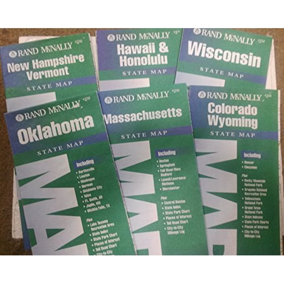
Pre-Owned Oklahoma State Map, 9780528969744, 0528969749, Paperback, Map edition
36x48 Arkansas State Official Executive Laminated Wall Map $59.00

36x48 Arkansas State Official Executive Laminated Wall Map
Rand McNally Easy to Read: Oregon State Map, (Paperback) $9.31

Rand McNally Easy to Read: Oregon State Map, (Paperback)
Michelin USA Accurate and Easy To Read Road Map, 4.63 x 0.49 in $17.13

Michelin USA Accurate and Easy To Read Road Map, 4.63 x 0.49 in
Delorme Atlas & Gazetteer: Florida, (Paperback) $29.95

Delorme Atlas & Gazetteer: Florida, (Paperback)
Rand McNally Easy to Read: Nebraska State Map, (Paperback) $9.99

Rand McNally Easy to Read: Nebraska State Map, (Paperback)
48x84 New Jersey State Official Executive Laminated Wall Map $89.95

48x84 New Jersey State Official Executive Laminated Wall Map
Rand McNally Easy to Fold: Nevada & Utah State Laminated Map, (Paperback) $10.99

Rand McNally Easy to Fold: Nevada & Utah State Laminated Map, (Paperback)
Rand McNally Easy to Read: New Mexico State Map, (Paperback) $9.99

Rand McNally Easy to Read: New Mexico State Map, (Paperback)
Swiftmaps Georgia State Official Executive Laminated Wall Map, 36x48 $59.00

Swiftmaps Georgia State Official Executive Laminated Wall Map, 36x48
Other options to consider(399)
FAQ
How do I pick the right map for my trip?
Choosing the right map depends on your travel plans and preferences. If you're planning a road trip across several states, a large-scale road atlas can offer a big-picture view and detailed routes. For exploring a single state, a state-specific map provides more local detail, including highways, cities, and attractions. If you want something decorative or interactive, a wooden travel map or pin board is a fun way to track your journeys and memories. Consider how you'll use the map—whether for navigation, planning, or display—to find the best fit for your needs.
What’s the best way to use a wall map at home?
Wall maps can be both practical and decorative. Here are a few ideas:
- Trip Planning: Mark places you’ve visited or want to explore using pins or stickers.
- Learning Tool: Use it to teach kids about geography, states, and capitals.
- Home Decor: Frame the map or hang it as a statement piece in your living room, office, or classroom.
Make sure to hang your map in a spot with good lighting and easy access so you can update it or reference it whenever inspiration strikes.
Are these maps good for kids learning geography?
Many state and USA maps are great for helping kids learn geography. Paper maps and atlases often include clear labels, state boundaries, and major cities, making them useful for school projects or at-home learning. Interactive options, like wooden puzzle maps, can make learning hands-on and fun. Always check the map’s size and detail level to ensure it matches your child’s age and learning needs. Using maps together can spark curiosity and make geography more engaging for the whole family.
How do I keep my paper map in good shape?
To help your paper map last longer, try these tips:
- Fold Carefully: Always refold along the original creases to prevent new tears.
- Store Safely: Keep your map in a dry, cool place away from direct sunlight to avoid fading and moisture damage.
- Use a Protective Sleeve: Consider placing your map in a clear plastic sleeve or folder when not in use.
With a little care, your map can stay in great condition for many trips to come.
Can I write on these maps to track my travels?
Many paper maps and laminated maps can be marked with pens or stickers to track your journeys. For paper maps, use a pencil or erasable pen to avoid permanent marks. Laminated maps work well with dry-erase markers, letting you update your travels as you go. If you want a more decorative option, pin boards or wooden travel maps are designed for adding pins or notes. Always check the map’s material before writing to make sure it won’t damage the surface.
Popular in State List Map
- Us Travel Maps
- United States Large Print Atlases Maps
- Us Maps For Traveling
- Us In 1883 Map
- States On West Coast Map
- Us Map Distances
- General United States Travel Books, Maps & Guides
- Southern United States Travel Books, Maps & Guides
- Central America Travel Books, Maps & Guides
- General Canada Travel Books, Maps & Guides
- Midwest United States Travel Books, Maps & Guides
- Northeast United States Travel Books, Maps & Guides
Related Products
UNCLE WU United States Map Wall 18" x 24" Poster
 UNCLE WU United States Map Wall 18" x 24" Poster$10.90current price $10.90
1880 Map of Oregon and Washington Territory - Vintage Pacific Northwest Map - Pacific Northwest Wall Art - Pacific Northwest Map Poster - Northwest US Map
 1880 Map of Oregon and Washington Territory - Vintage Pacific Northwest Map - Pacific Northwest Wall Art - Pacific Northwest Map Poster - Northwest US Map$39.99current price $39.99
Iconic Arts Laminated 29x24 High Quality Poster: Road Map - Large detailed roads and highways map of Missouri state with all citiesMaps of
Iconic Arts Laminated 29x24 High Quality Poster: Road Map - Large detailed roads and highways map of Missouri state with all citiesMaps of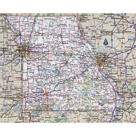
Iconic Arts Laminated 30x24 Poster: Road Map - Large Detailed Roads and Highways map of Connecticut State with All citiesMaps
Iconic Arts Laminated 30x24 Poster: Road Map - Large Detailed Roads and Highways map of Connecticut State with All citiesMaps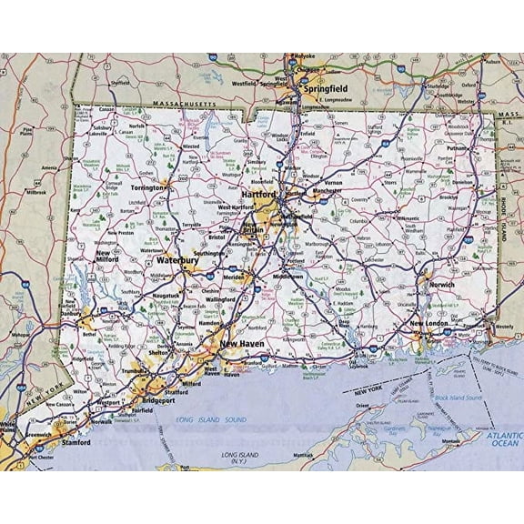
Iconic Arts Laminated 27x24 Poster: Road Map - Highway Map of West Virginia Virginia Map
Iconic Arts Laminated 27x24 Poster: Road Map - Highway Map of West Virginia Virginia Map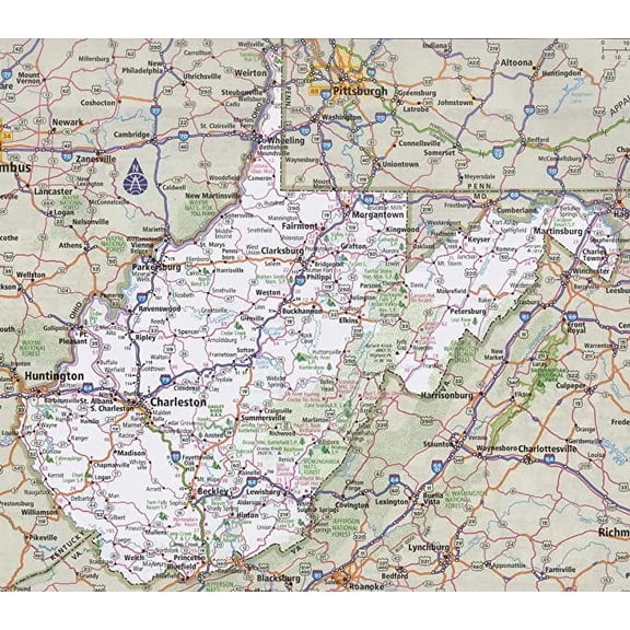
Iconic Arts Laminated 28x24 High Quality Poster: Road Map Of Alaska Adriftskateshop
Iconic Arts Laminated 28x24 High Quality Poster: Road Map Of Alaska Adriftskateshop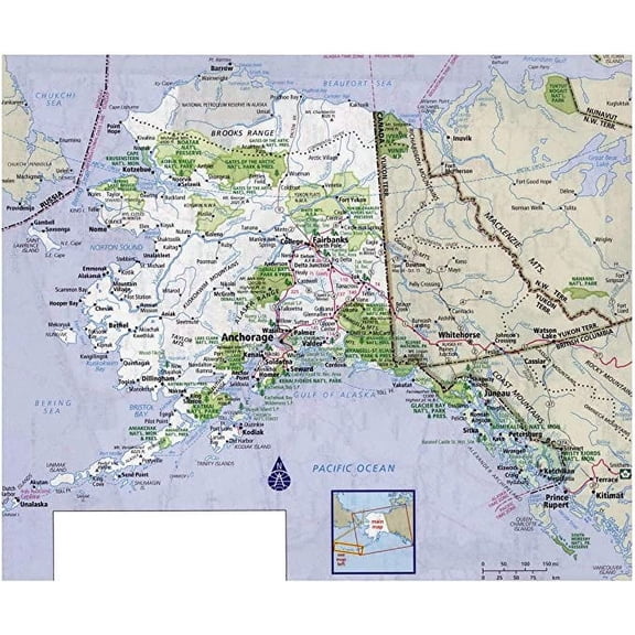
Iconic Arts Laminated 29x24 Poster: Road Map - Large Detailed Roads and Highways map of Louisiana State with All citiesMaps of
Iconic Arts Laminated 29x24 Poster: Road Map - Large Detailed Roads and Highways map of Louisiana State with All citiesMaps of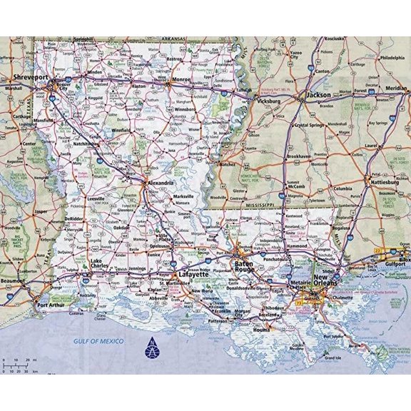
Iconic Arts Laminated 24x24 Poster: Full Detailed Road map of Croatia. Croatia Full Detailed Road mapMaps of All
Iconic Arts Laminated 24x24 Poster: Full Detailed Road map of Croatia. Croatia Full Detailed Road mapMaps of All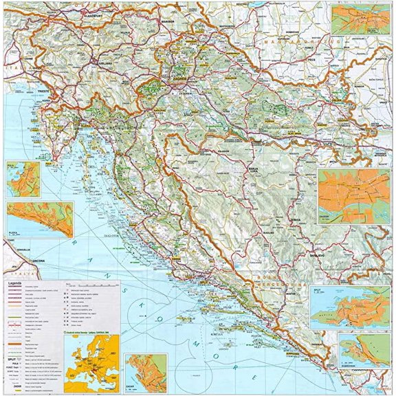
HISTORIX Vintage 1896 Idaho State Map - 18x24 Inch Vintage Map of Idaho Wall Art - Old Township County and Railroad Map of Idaho Poster - Map Idaho Wall Decor - Historic Idaho Wall Map (2 Sizes)
 HISTORIX Vintage 1896 Idaho State Map - 18x24 Inch Vintage Map of Idaho Wall Art - Old Township County and Railroad Map of Idaho Poster - Map Idaho Wall Decor - Historic Idaho Wall Map (2 Sizes)$39.99current price $39.99
Vintage 1860 County Map of Virginia and North Carolina Virginia County Map Poster - Old Wall Map of North Carolina County
 Vintage 1860 County Map of Virginia and North Carolina Virginia County Map Poster - Old Wall Map of North Carolina County$22.51current price $22.51
Topographical Map - Oregon Trail Idaho 6 of 7 - Fremont 1846 - Vintage Wall Art
 Topographical Map - Oregon Trail Idaho 6 of 7 - Fremont 1846 - Vintage Wall Art$40.95current price $40.95
2025 Color Map Of United States USA Updated With Gul-f Of America And Mount M-cKinley Art Print Poster 12x18, crgrtght 2025 2025 Color Map Of United
 2025 Color Map Of United States USA Updated With Gul-f Of America And Mount M-cKinley Art Print Poster 12x18, crgrtght 2025 2025 Color Map Of United$7.79current price $7.79
1860 York County Pennsylvania Map - Vintage Map of York Pennsylvania - History Map of York County PA - Old York County Map from Actual Surveys Wall Art Poster
 1860 York County Pennsylvania Map - Vintage Map of York Pennsylvania - History Map of York County PA - Old York County Map from Actual Surveys Wall Art Poster$37.99current price $37.99
24"x36" Gallery Poster, cia map of canada 1994
 24"x36" Gallery Poster, cia map of canada 1994$52.95current price $52.95
Iconic Arts Laminated 24x34 Poster: Physical Map - Maps of Portugal Detailed map of Portugal in English Tourist map of Portugal Road map of
Iconic Arts Laminated 24x34 Poster: Physical Map - Maps of Portugal Detailed map of Portugal in English Tourist map of Portugal Road map of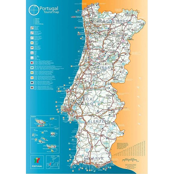
Iconic Arts Laminated 30x24 Poster: Road Map - Large Detailed map of Arkansas with Cities and Towns
Iconic Arts Laminated 30x24 Poster: Road Map - Large Detailed map of Arkansas with Cities and Towns
Iconic Arts Laminated 24x30 Poster: Michigan Road Map Michigan Map
Iconic Arts Laminated 24x30 Poster: Michigan Road Map Michigan Map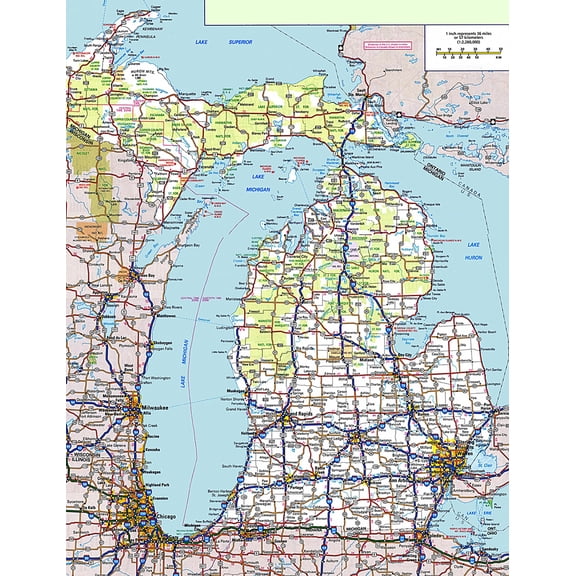
Topographical Map - Morgan Hill California Quad - USGS 1940 - Vintage Wall Art
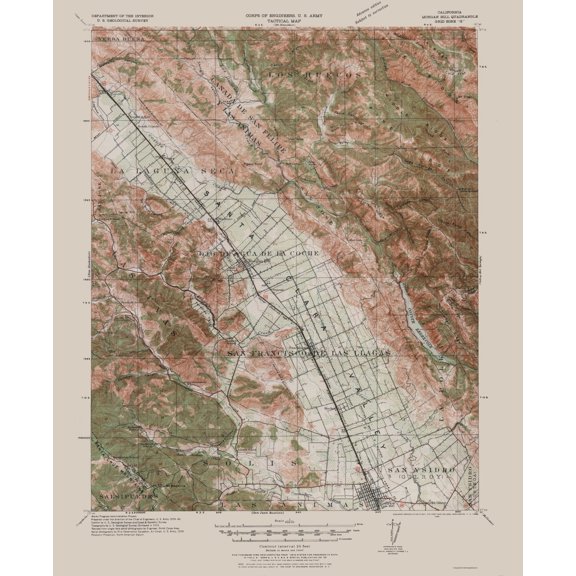 Topographical Map - Morgan Hill California Quad - USGS 1940 - Vintage Wall Art$40.95current price $40.95