

Bathroom SetsBedroom FurnitureBlanketsBohemianChristmas DecorDecorative AccentsDecorative Pillows & ThrowsFall DecorFarmhouseFrench CountryGlamHayneedleKids' FurnitureKids' Room DecorKids' RoomsKids' ThemesKitchen & Table LinensLighting & Light FixturesMid-Century ModernPersonalized Christmas ShopPostersRugsShop All DecorShower Curtains & AccessoriesStorage FurnitureTeens' BathroomTeens' RoomsWall ArtWall Decor
Sort by|
Bathroom SetsBedroom FurnitureBlanketsBohemianChristmas DecorDecorative AccentsDecorative Pillows & ThrowsFall DecorFarmhouseFrench CountryGlamHayneedleKids' FurnitureKids' Room DecorKids' RoomsKids' ThemesKitchen & Table LinensLighting & Light FixturesMid-Century ModernPersonalized Christmas ShopPostersRugsShop All DecorShower Curtains & AccessoriesStorage FurnitureTeens' BathroomTeens' RoomsWall ArtWall Decor
Ship Route Map(84)
Uses item details. Price when purchased online
Nautical Travel Planning Map Caribbean Islands Markable Poster Vacation Guide with Capitals Airports for Cruise Decor From $8.90


From$890
Nautical Travel Planning Map Caribbean Islands Markable Poster Vacation Guide with Capitals Airports for Cruise Decor
Sailing Ship with Compass and Bottle on Old Map, Adventurous Vintage Style for Map Lovers, Nautical Wall Art, Housewarming Gift, Tapestry Wall Hanging for Study Room and Office From $13.99



From$1399
Sailing Ship with Compass and Bottle on Old Map, Adventurous Vintage Style for Map Lovers, Nautical Wall Art, Housewarming Gift, Tapestry Wall Hanging for Study Room and Office
Railroad steam boat and stage route map of New England New York and Canada 1850 by Vintage Maps (24 x 18) From $37.83

2 options
Available in additional 2 optionsFrom$3783
Railroad steam boat and stage route map of New England New York and Canada 1850 by Vintage Maps (24 x 18)
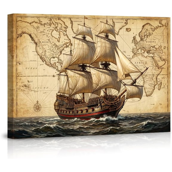


France World Route Map - Vickers Viscount - Super Constellation - Vintage Airline Travel Poster c.1956 - 8 x 12 inch Vintage Wood Art Sign From $14.98

18 options
Available in additional 18 optionsFrom$1498
France World Route Map - Vickers Viscount - Super Constellation - Vintage Airline Travel Poster c.1956 - 8 x 12 inch Vintage Wood Art Sign
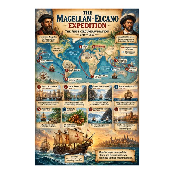
Magellan Elcano Voyage Map Poster for World History Study Spaces From $14.99
3 options
Available in additional 3 optionsFrom$1499
Magellan Elcano Voyage Map Poster for World History Study Spaces
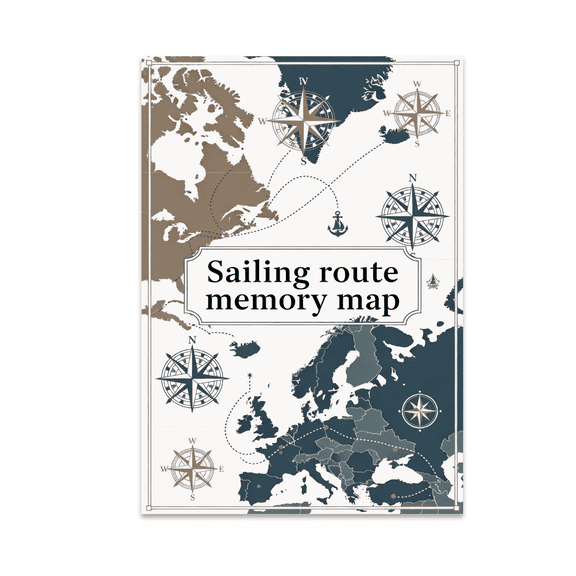
Sailing Route Memory Map - Map Enthusiast - 13x19 Poster Print $21.95
$2195
current price $21.95Sailing Route Memory Map - Map Enthusiast - 13x19 Poster Print
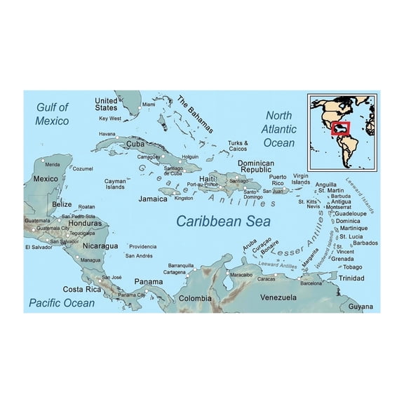
Caribbean Cruise Islands Map Poster with Capitals and Airports From $25.90
2 options
Available in additional 2 optionsFrom$2590
Caribbean Cruise Islands Map Poster with Capitals and Airports
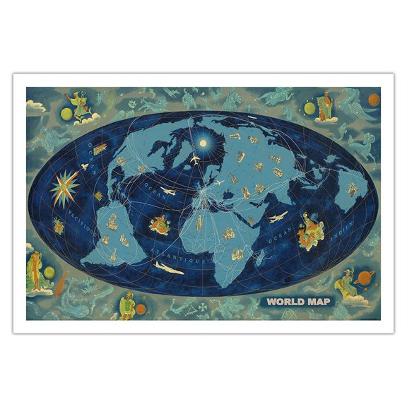
World Map - Global World Route Map - Planisphere - Vintage Airline Travel Poster by Lucien Boucher c.1959 - Fine Art Matte Paper Print (Unframed) 30x44in From $14.98
16 options
Available in additional 16 optionsFrom$1498
World Map - Global World Route Map - Planisphere - Vintage Airline Travel Poster by Lucien Boucher c.1959 - Fine Art Matte Paper Print (Unframed) 30x44in
Railroad Map - Pacific Coast Steamship Company Routes - Rand McNally 1896 - WallArt From $36.95

2 options
Available in additional 2 optionsFrom$3695
Railroad Map - Pacific Coast Steamship Company Routes - Rand McNally 1896 - WallArt
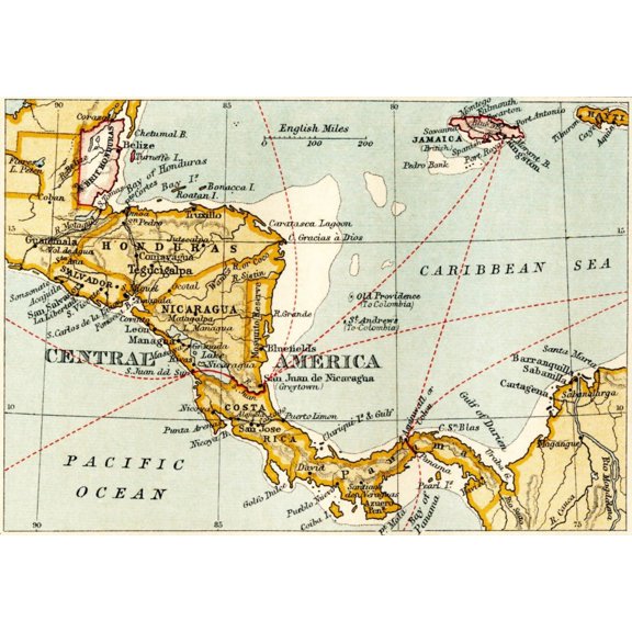
Map of the Proposed Nicaraguan Canal Shipping Route - Poster Print From $19.99
3 options
Available in additional 3 optionsFrom$1999
Map of the Proposed Nicaraguan Canal Shipping Route - Poster Print
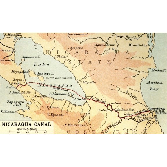
Nicaraguan Canal Proposed Shipping Route Map - Poster Print From $19.99
3 options
Available in additional 3 optionsFrom$1999
Nicaraguan Canal Proposed Shipping Route Map - Poster Print
Sketch Map Illustrating Vasco Da Gamas Voyages. The Dotted Line Indicates The First Voyage to India In 1497 From The Great Explorers Columbus & Vasco Da Gama Poster Print, 36 x 24 - Large $81.49

$8149
current price $81.49Sketch Map Illustrating Vasco Da Gamas Voyages. The Dotted Line Indicates The First Voyage to India In 1497 From The Great Explorers Columbus & Vasco Da Gama Poster Print, 36 x 24 - Large
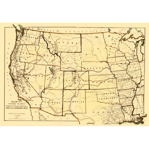
Historic Nautical Map - Mississippi River Western Mail Routes - Boyd 1867 - Vintage Wall Art From $36.95
2 options
Available in additional 2 optionsFrom$3695
Historic Nautical Map - Mississippi River Western Mail Routes - Boyd 1867 - Vintage Wall Art
Historic Nautical Map - Atlantic Ocean - Perthes 1914 - Vintage Wall Art From $36.95

2 options
Available in additional 2 optionsFrom$3695
Historic Nautical Map - Atlantic Ocean - Perthes 1914 - Vintage Wall Art
Historic Nautical Map - Detroit River Adjacent Areas - Melish 1813 - Vintage Wall Art From $36.95

2 options
Available in additional 2 optionsFrom$3695
Historic Nautical Map - Detroit River Adjacent Areas - Melish 1813 - Vintage Wall Art
Deck Map Ship Icon Grid Wall Art - Modern Decor Enthusiast - 13x19 Poster Print $21.95

$2195
current price $21.95Deck Map Ship Icon Grid Wall Art - Modern Decor Enthusiast - 13x19 Poster Print
Vintage Nautical Ship Wheel Antique World Map Rustic Maritime Home Poster, Thoughtful Coastal Theme For Bedroom And Gallery Wall Decor
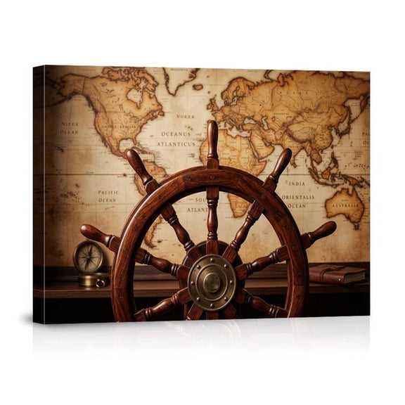
Vintage Nautical Ship Wheel Antique World Map Rustic Maritime Home Poster, Thoughtful Coastal Theme For Bedroom And Gallery Wall Decor
Historic Nautical Map - Drakes Bay - USGS 1883 - 23 x 34.01 - Vintage Wall Art

Historic Nautical Map - Drakes Bay - USGS 1883 - 23 x 34.01 - Vintage Wall Art
Historic Nautical Map - Pacific Coast Steamship Company Routes - 1891 - Vintage Wall Art From $36.95

2 options
Available in additional 2 optionsFrom$3695
Historic Nautical Map - Pacific Coast Steamship Company Routes - 1891 - Vintage Wall Art
Historic Nautical Map - Mississippi River Louisiana - 1775 - Vintage Wall Art From $36.95

2 options
Available in additional 2 optionsFrom$3695
Historic Nautical Map - Mississippi River Louisiana - 1775 - Vintage Wall Art
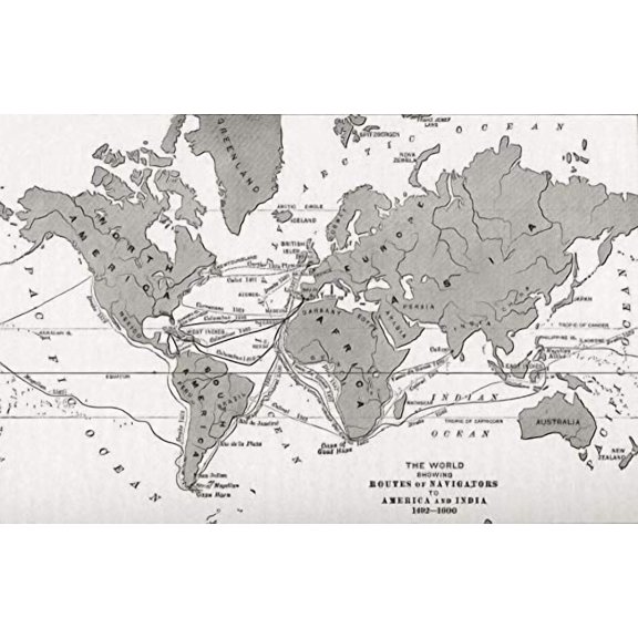
Historical Map of World Navigation Routes (1492-1600) by Ken Welsh From $16.42
2 options
Available in additional 2 optionsFrom$1642
Historical Map of World Navigation Routes (1492-1600) by Ken Welsh
Historic Nautical Map - Transportation Routes - McEwen 1897 - Vintage Wall Art From $36.95

2 options
Available in additional 2 optionsFrom$3695
Historic Nautical Map - Transportation Routes - McEwen 1897 - Vintage Wall Art
Historic Nautical Map - Ohio River - Collot 1796 - Vintage Wall Art From $36.95

2 options
Available in additional 2 optionsFrom$3695
Historic Nautical Map - Ohio River - Collot 1796 - Vintage Wall Art
Vintage Nautical World Map Antique Sailing Ship Old Rustic Wall Art Print, Striking Coastal Theme For Home, Office And Gallery Wall Decor

Vintage Nautical World Map Antique Sailing Ship Old Rustic Wall Art Print, Striking Coastal Theme For Home, Office And Gallery Wall Decor
Abstract Nautical Shower Curtain, Vintage Ship Route Map Bath Curtain, Coastal Bathroom Decor, Waterproof Polyester Fabric with Hooks 36"W x 72"H From $19.99

8 options
Available in additional 8 optionsFrom$1999
Abstract Nautical Shower Curtain, Vintage Ship Route Map Bath Curtain, Coastal Bathroom Decor, Waterproof Polyester Fabric with Hooks 36"W x 72"H
Historic Nautical Map - Stage Steam Boat Routes - Tanner 1836 - Vintage Wall Art From $36.95

2 options
Available in additional 2 optionsFrom$3695
Historic Nautical Map - Stage Steam Boat Routes - Tanner 1836 - Vintage Wall Art
Vintage World Map With Sailing Ship Nautical Exploration Global Adventure For Home Office Canvas From $21.99

4 options
Available in additional 4 optionsFrom$2199
Vintage World Map With Sailing Ship Nautical Exploration Global Adventure For Home Office Canvas
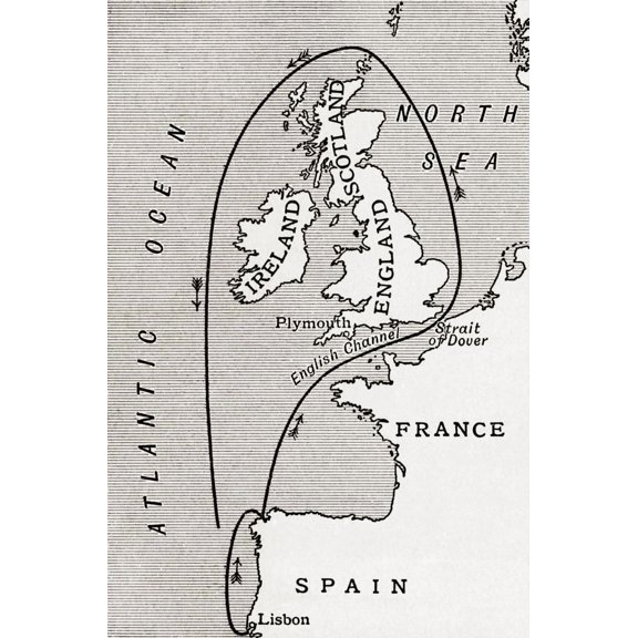
Map Showing The Route Of The Spanish Armada In 1588. From A First Book Of British History Published 1925. by Hilary Jane Morgan / Design Pics (11 x 17) From $19.99
3 options
Available in additional 3 optionsFrom$1999
Map Showing The Route Of The Spanish Armada In 1588. From A First Book Of British History Published 1925. by Hilary Jane Morgan / Design Pics (11 x 17)
Vintage Signage Navigation Chart Sea Route Map Vintage Metal Tin Sign Plaque Wall Decor for Cafe, Club, Garden Metal Poster 4x16Inch $15.99

$1599
current price $15.99Vintage Signage Navigation Chart Sea Route Map Vintage Metal Tin Sign Plaque Wall Decor for Cafe, Club, Garden Metal Poster 4x16Inch
Vintage Maps 14x12 White Modern Wood Framed Museum Art Print Titled - Railroad steam boat and stage route map of New England New York and Canada 1850 From $29.99

4 options
Available in additional 4 optionsFrom$2999
Vintage Maps 14x12 White Modern Wood Framed Museum Art Print Titled - Railroad steam boat and stage route map of New England New York and Canada 1850
Historic Nautical Map - New England Coast - 1776 - Vintage Wall Art From $36.95

2 options
Available in additional 2 optionsFrom$3695
Historic Nautical Map - New England Coast - 1776 - Vintage Wall Art
Historic Nautical Map - Pony Express Route April 1860 - Jackson 1860 - Vintage Wall Art From $36.95

2 options
Available in additional 2 optionsFrom$3695
Historic Nautical Map - Pony Express Route April 1860 - Jackson 1860 - Vintage Wall Art
Historic Nautical Map - Chesapeake Bay York River - Williams 1863 - Vintage Wall Art From $36.95

2 options
Available in additional 2 optionsFrom$3695
Historic Nautical Map - Chesapeake Bay York River - Williams 1863 - Vintage Wall Art
Historic Nautical Map - Transportation Routes - Mcewen 1897 - Vintage Wall Art From $36.95

2 options
Available in additional 2 optionsFrom$3695
Historic Nautical Map - Transportation Routes - Mcewen 1897 - Vintage Wall Art
Historic Nautical Map - Maine Coast - Des Barres 1776 - Vintage Wall Art From $36.95

2 options
Available in additional 2 optionsFrom$3695
Historic Nautical Map - Maine Coast - Des Barres 1776 - Vintage Wall Art
Historic Nautical Map - Oceania Sea Depth - Bartholomew 1892 - Vintage Wall Art From $36.95

2 options
Available in additional 2 optionsFrom$3695
Historic Nautical Map - Oceania Sea Depth - Bartholomew 1892 - Vintage Wall Art
Historic Nautical Map - World Pacific Ocean - Perthes 1838 - Vintage Wall Art From $36.95

2 options
Available in additional 2 optionsFrom$3695
Historic Nautical Map - World Pacific Ocean - Perthes 1838 - Vintage Wall Art
Historic Nautical Map - Atlantic Ocean Ports - Perthes 1914 - Vintage Wall Art From $36.95

2 options
Available in additional 2 optionsFrom$3695
Historic Nautical Map - Atlantic Ocean Ports - Perthes 1914 - Vintage Wall Art
Historic Nautical Map - Oregon Washington Columbia River - Bertrand 1844 - Vintage Wall Art From $36.95

2 options
Available in additional 2 optionsFrom$3695
Historic Nautical Map - Oregon Washington Columbia River - Bertrand 1844 - Vintage Wall Art
Other options to consider(394)
Popular in Ship Route Map
- Rhode Island Towns Map
- Crater Lake Map
- Great Lakes 3d Map
- 3d Map Of Florida
- San Francisco Map World
- World Map Nevada
- National Parks Posters
- World Map Wall Art
- Central America Travel Books, Maps & Guides
- Caribbean & West Indies Travel Books, Maps & Guides
- General Canada Travel Books, Maps & Guides
- Northeast United States Travel Books, Maps & Guides
Related Products
Historic Map - World Winds Navigation - Petermann - Vintage Wall Art
 Historic Map - World Winds Navigation - Petermann - Vintage Wall Art$40.95current price $40.95
24x36 gallery poster, Map of the Mediterranean Sea with subdivisions, straits, islands and countries
 24x36 gallery poster, Map of the Mediterranean Sea with subdivisions, straits, islands and countries$52.95current price $52.95
Topographical Map - Grand Teton National Park Wyoming Sheet - USGS 1948 - Vintage Wall Art
 Topographical Map - Grand Teton National Park Wyoming Sheet - USGS 1948 - Vintage Wall Art$45.95current price $45.95
Historic Map - World - Rand McNally - Vintage Wall Art
 Historic Map - World - Rand McNally - Vintage Wall Art$40.95current price $40.95
Historic State Map - United States - Hammond 1910 - Vintage Wall Art
 Historic State Map - United States - Hammond 1910 - Vintage Wall Art$40.95current price $40.95
Historic State Map - Florida Intracoastal Waterway - US Dept of Commerce 1932 - Vintage Wall Art
 Historic State Map - Florida Intracoastal Waterway - US Dept of Commerce 1932 - Vintage Wall Art$40.95current price $40.95
Historic State Map - Southeast Coast - Mitchell 1869 - Vintage Wall Art
 Historic State Map - Southeast Coast - Mitchell 1869 - Vintage Wall Art$40.95current price $40.95
Historic State Map - Yellowstone National Park - US Park Services 1972 - Vintage Wall Art
 Historic State Map - Yellowstone National Park - US Park Services 1972 - Vintage Wall Art$45.95current price $45.95
Historic Map - World - Hammond 1910 - Vintage Wall Art
 Historic Map - World - Hammond 1910 - Vintage Wall Art$40.95current price $40.95
Hawaii Islands Route Map - Hawaiian Air Lines - Vintage Airline Travel Poster c.1961 - Master Art Print (Unframed) 13in x 19in
 Hawaii Islands Route Map - Hawaiian Air Lines - Vintage Airline Travel Poster c.1961 - Master Art Print (Unframed) 13in x 19in$22.98current price $22.98
Historic State Map - Nevada - USGS 1967 - Vintage Wall Art
 Historic State Map - Nevada - USGS 1967 - Vintage Wall Art$40.95current price $40.95
Historic State Map - United States Time Divisions - Cram 1888 - Vintage Wall Art
 Historic State Map - United States Time Divisions - Cram 1888 - Vintage Wall Art$40.95current price $40.95
Historic State Map - Idaho - Rathbun 1893 - Vintage Wall Art
 Historic State Map - Idaho - Rathbun 1893 - Vintage Wall Art$40.95current price $40.95
Historic State Map - New Jersey - Burr 1835 - Vintage Wall Art
 Historic State Map - New Jersey - Burr 1835 - Vintage Wall Art$40.95current price $40.95
State of Maine Wildlife Map - New England - Vintage Pictorial Map by J.G. Shelley & Louis Koster c.1950s - Master Art Print (Unframed) 9in x 12in
 State of Maine Wildlife Map - New England - Vintage Pictorial Map by J.G. Shelley & Louis Koster c.1950s - Master Art Print (Unframed) 9in x 12in$14.98current price $14.98
Topographical Map - Flathead National Forest Montana - USGS 1948 - Vintage Wall Art
 Topographical Map - Flathead National Forest Montana - USGS 1948 - Vintage Wall Art$40.95current price $40.95
Historic State Map - California - Hoen 1896 - Vintage Wall Art
 Historic State Map - California - Hoen 1896 - Vintage Wall Art$40.95current price $40.95