

Oregon Map By County(135)
Uses item details. Price when purchased online
Vintage Map of Portland Oregon 1890 Clackamas County Canvas Art - (24 x 36) $130.22

$13022
current price $130.22Vintage Map of Portland Oregon 1890 Clackamas County Canvas Art - (24 x 36)
National Geographic Reference Map National Geographic Oregon Wall Map - Laminated (40.5 X 30.25 In), (Paperback) $27.76

$2776
current price $27.76National Geographic Reference Map National Geographic Oregon Wall Map - Laminated (40.5 X 30.25 In), (Paperback)
Vintage Map of Jacksonville Oregon 1883 Jackson County Canvas Art - (18 x 24) $62.99

$6299
current price $62.99Vintage Map of Jacksonville Oregon 1883 Jackson County Canvas Art - (18 x 24)
Historic State Map - Oregon - Rand McNally 1898 - Vintage Wall Art From $36.95

2 options
Available in additional 2 optionsFrom$3695
Historic State Map - Oregon - Rand McNally 1898 - Vintage Wall Art
Vintage Map of Portland Oregon 1890 Clackamas County Canvas Art - (36 x 54) $283.38

$28338
current price $283.38Vintage Map of Portland Oregon 1890 Clackamas County Canvas Art - (36 x 54)
Vintage Map of Portland Oregon 1890 Clackamas County Canvas Art - (18 x 24) $62.99

$6299
current price $62.99Vintage Map of Portland Oregon 1890 Clackamas County Canvas Art - (18 x 24)
Topographical Map - Hebo Oregon Quad - USGS 1965 - Vintage Wall Art From $36.95

2 options
Available in additional 2 optionsFrom$3695
Topographical Map - Hebo Oregon Quad - USGS 1965 - Vintage Wall Art

Historic Map of Salem Oregon 1905 Marion County Canvas Art - (24 x 36) $127.49

$12749
current price $127.49Historic Map of Salem Oregon 1905 Marion County Canvas Art - (24 x 36)
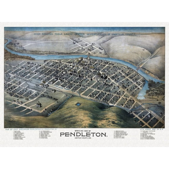
Antique Map of Pendleton Oregon 1892 Umatilla County Canvas Art - (18 x 24) $62.99
$6299
current price $62.99Antique Map of Pendleton Oregon 1892 Umatilla County Canvas Art - (18 x 24)
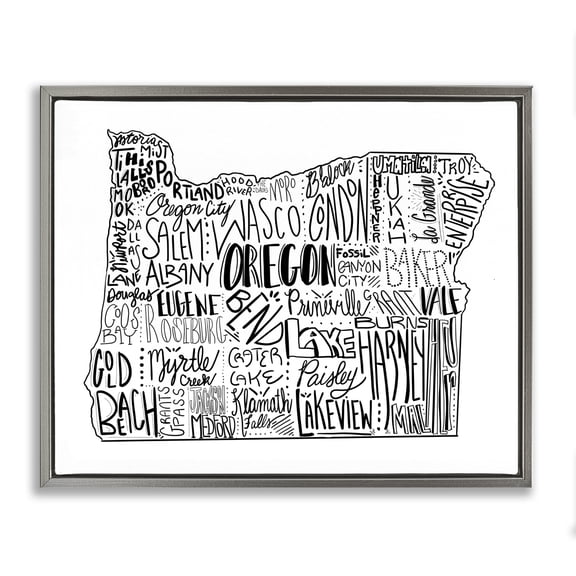
Stupell Industries Traditional Oregon State Cities Map Gray Floating Frame Canvas Art, 31 x 25, by The Saturday Evening Post From $48.79


From$4879
Stupell Industries Traditional Oregon State Cities Map Gray Floating Frame Canvas Art, 31 x 25, by The Saturday Evening Post
Vintage Map of Jacksonville Oregon 1883 Jackson County Canvas Art - (36 x 54) $283.38

$28338
current price $283.38Vintage Map of Jacksonville Oregon 1883 Jackson County Canvas Art - (36 x 54)
Antique Map of Dalles Oregon 1884 Wasco County Canvas Art - (18 x 24) $63.75

$6375
current price $63.75Antique Map of Dalles Oregon 1884 Wasco County Canvas Art - (18 x 24)
Historic Map of Pendleton Oregon 1884 Umatilla County Canvas Art - (24 x 36) $125.96

$12596
current price $125.96Historic Map of Pendleton Oregon 1884 Umatilla County Canvas Art - (24 x 36)
Marmont Hill Illustrated Map of Oregon State Framed Wall Art From $31.93

2 options
Available in additional 2 optionsFrom$3193
Marmont Hill Illustrated Map of Oregon State Framed Wall Art
HISTORIX 1879 Yamhill County Oregon Vintage Map Poster Wall Art Print, 18 x 24 Inch From $39.99

2 options
Available in additional 2 optionsFrom$3999
HISTORIX 1879 Yamhill County Oregon Vintage Map Poster Wall Art Print, 18 x 24 Inch
HISTORIX 1884 The Dalles Wasco County Oregon Map Vintage Poster Wall Art Print, 24 x 36 Inch From $39.99

2 options
Available in additional 2 optionsFrom$3999
HISTORIX 1884 The Dalles Wasco County Oregon Map Vintage Poster Wall Art Print, 24 x 36 Inch
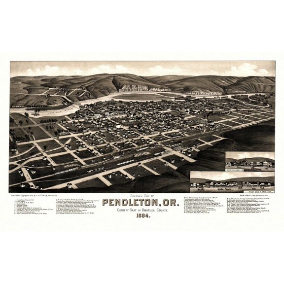
Historic Map of Pendleton Oregon 1884 Umatilla County Canvas Art - (36 x 54) $283.38
$28338
current price $283.38Historic Map of Pendleton Oregon 1884 Umatilla County Canvas Art - (36 x 54)
Vintage Map of Jacksonville Oregon 1883 Jackson County Canvas Art - (24 x 36) $125.96

$12596
current price $125.96Vintage Map of Jacksonville Oregon 1883 Jackson County Canvas Art - (24 x 36)
Antique Map of Dalles Oregon 1884 Wasco County Canvas Art - (36 x 54) $283.38

$28338
current price $283.38Antique Map of Dalles Oregon 1884 Wasco County Canvas Art - (36 x 54)
Antique Map of Dalles Oregon 1884 Wasco County Canvas Art - (24 x 36) $125.96

$12596
current price $125.96Antique Map of Dalles Oregon 1884 Wasco County Canvas Art - (24 x 36)
Historic Map of Salem Oregon 1905 Marion County Canvas Art - (18 x 24) $62.99

$6299
current price $62.99Historic Map of Salem Oregon 1905 Marion County Canvas Art - (18 x 24)
Antique Map of Pendleton Oregon 1892 Umatilla County Canvas Art - (36 x 54) $283.38

$28338
current price $283.38Antique Map of Pendleton Oregon 1892 Umatilla County Canvas Art - (36 x 54)
Historic State Map - Oregon - Rathbun 1893 - Vintage Wall Art From $36.95

2 options
Available in additional 2 optionsFrom$3695
Historic State Map - Oregon - Rathbun 1893 - Vintage Wall Art
Historic Map of Salem Oregon 1905 Marion County Canvas Art - (36 x 54) $283.38

$28338
current price $283.38Historic Map of Salem Oregon 1905 Marion County Canvas Art - (36 x 54)
HISTORIX 1884 Pendleton Umatilla County Oregon Map Vintage Poster Wall Art Print, 16 x 24 Inch From $39.99

2 options
Available in additional 2 optionsFrom$3999
HISTORIX 1884 Pendleton Umatilla County Oregon Map Vintage Poster Wall Art Print, 16 x 24 Inch
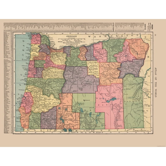
Historic State Map - Oregon - Hammond 1910 - Vintage Wall Art From $36.95
2 options
Available in additional 2 optionsFrom$3695
Historic State Map - Oregon - Hammond 1910 - Vintage Wall Art
Historic State Map - Oregon Washington British Columbia - 1860 - Vintage Wall Art From $36.95

2 options
Available in additional 2 optionsFrom$3695
Historic State Map - Oregon Washington British Columbia - 1860 - Vintage Wall Art
Old Map of Salem Oregon 1876 Marion County Canvas Art - (36 x 54) $283.38

$28338
current price $283.38Old Map of Salem Oregon 1876 Marion County Canvas Art - (36 x 54)
Historic Map of Pendleton Oregon 1884 Umatilla County Canvas Art - (18 x 24) $62.99

$6299
current price $62.99Historic Map of Pendleton Oregon 1884 Umatilla County Canvas Art - (18 x 24)
Historic State Map - Oregon Territory - Parker 1838 - Vintage Wall Art From $36.95
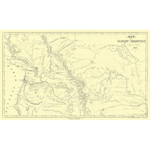
2 options
Available in additional 2 optionsFrom$3695
Historic State Map - Oregon Territory - Parker 1838 - Vintage Wall Art
Historic State Map - Oregon - Cram 1888 - Vintage Wall Art From $36.95

2 options
Available in additional 2 optionsFrom$3695
Historic State Map - Oregon - Cram 1888 - Vintage Wall Art
Historic State Map - Oregon - USGS 1965 - Vintage Wall Art From $36.95
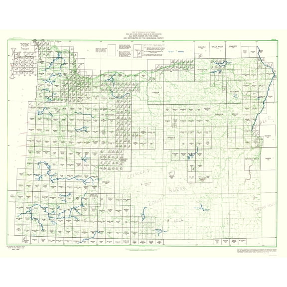
2 options
Available in additional 2 optionsFrom$3695
Historic State Map - Oregon - USGS 1965 - Vintage Wall Art
Old Map of Salem Oregon 1876 Marion County Canvas Art - (24 x 36) $125.96

$12596
current price $125.96Old Map of Salem Oregon 1876 Marion County Canvas Art - (24 x 36)
Historic State Map - Oregon - 1879 - Vintage Wall Art From $36.95

2 options
Available in additional 2 optionsFrom$3695
Historic State Map - Oregon - 1879 - Vintage Wall Art
1905 Map of Salem Oregon - Vintage Map Salem Oregon Wall Art - Salem Oregon Map Population: 14,768 Showing State House of Oregon and Marion County Courthouse From $39.99

2 options
Available in additional 2 optionsFrom$3999
1905 Map of Salem Oregon - Vintage Map Salem Oregon Wall Art - Salem Oregon Map Population: 14,768 Showing State House of Oregon and Marion County Courthouse
Historic State Map - Oregon Territory - 1846 - Vintage Wall Art From $36.95

2 options
Available in additional 2 optionsFrom$3695
Historic State Map - Oregon Territory - 1846 - Vintage Wall Art
Historic State Map - Oregon - Bien 1879 - Vintage Wall Art From $36.95

2 options
Available in additional 2 optionsFrom$3695
Historic State Map - Oregon - Bien 1879 - Vintage Wall Art
Historic State Map - Oregon Territory - US Exploring Expedition 1841 - Vintage Wall Art From $36.95

2 options
Available in additional 2 optionsFrom$3695
Historic State Map - Oregon Territory - US Exploring Expedition 1841 - Vintage Wall Art
Historic State Map - Oregon - Cram 1892 - Vintage Wall Art From $36.95

2 options
Available in additional 2 optionsFrom$3695
Historic State Map - Oregon - Cram 1892 - Vintage Wall Art
Other options to consider(36)
Popular in Oregon Map By County
- Map Utah Counties
- Florida Map By County
- Oregon Usa Map
- Florida Map Orlando
- Map Florida County
- Washington State Rivers Map
- National Parks Posters
- Central America Travel Books, Maps & Guides
- Northeast United States Travel Books, Maps & Guides
- General South America Travel Books, Maps & Guides
- Ontario Travel Books, Maps & Guides
- General Canada Travel Books, Maps & Guides
Related Products
Historic City Map - Long Island New York - Williams 1911 - Vintage Wall Art
 Historic City Map - Long Island New York - Williams 1911 - Vintage Wall Art$45.95current price $45.95
Topographical Map - Willamette National Forest Oregon - USDA 1964 - Vintage Wall Art
 Topographical Map - Willamette National Forest Oregon - USDA 1964 - Vintage Wall Art$45.95current price $45.95
Historic State Map - Texas - Rand McNally 1876 - Vintage Wall Art
 Historic State Map - Texas - Rand McNally 1876 - Vintage Wall Art$45.95current price $45.95
Historic Map - North America - Stieler 1885 - Vintage Wall Art
 Historic Map - North America - Stieler 1885 - Vintage Wall Art$45.95current price $45.95
Historic State Map - South Dakota - Hammond 1910 - Vintage Wall Art
 Historic State Map - South Dakota - Hammond 1910 - Vintage Wall Art$40.95current price $40.95
Historic City Map - Pensacola Florida - Pintado 1815 - Vintage Wall Art
 Historic City Map - Pensacola Florida - Pintado 1815 - Vintage Wall Art$40.95current price $40.95
Map of Jasper, Indiana, Multiline Coordinates Colored (24x36)
Map of Jasper, Indiana, Multiline Coordinates Colored (24x36)
Map of Temecula, California, Multiline Coordinates Colored (24x36)
Map of Temecula, California, Multiline Coordinates Colored (24x36)
State of Maine Wildlife Map - New England - Vintage Pictorial Map by J.G. Shelley & Louis Koster c.1950s - Master Art Print (Unframed) 9in x 12in
 State of Maine Wildlife Map - New England - Vintage Pictorial Map by J.G. Shelley & Louis Koster c.1950s - Master Art Print (Unframed) 9in x 12in$14.98current price $14.98
Topographical Map - Lily Wisconsin Quad - USGS 1950 - Vintage Wall Art
 Topographical Map - Lily Wisconsin Quad - USGS 1950 - Vintage Wall Art$45.95current price $45.95
Historic City Map - New Orleans Louisiana - Cram 1892 - Vintage Wall Art
 Historic City Map - New Orleans Louisiana - Cram 1892 - Vintage Wall Art$40.95current price $40.95
Historic State Map - Wyoming - Rand McNally 1903 - Vintage Wall Art
 Historic State Map - Wyoming - Rand McNally 1903 - Vintage Wall Art$40.95current price $40.95
Historic State Map - Louisiana Florida Gulf Coast - Sartine 1778 - Vintage Wall Art
 Historic State Map - Louisiana Florida Gulf Coast - Sartine 1778 - Vintage Wall Art$40.95current price $40.95
Historic City Map - Charlotte Street Guide North Carolina - 1935 - Vintage Wall Art
 Historic City Map - Charlotte Street Guide North Carolina - 1935 - Vintage Wall Art$40.95current price $40.95
Historic State Map - Nevada - Rand McNally 1893 - Vintage Wall Art
 Historic State Map - Nevada - Rand McNally 1893 - Vintage Wall Art$40.95current price $40.95
Topographical Map - Canandaigua New York Quad - USGS 1903 - Vintage Wall Art
 Topographical Map - Canandaigua New York Quad - USGS 1903 - Vintage Wall Art$45.95current price $45.95
Historic County Map- Galveston County Texas - General Land Office 1883 - Vintage Wall Art
 Historic County Map- Galveston County Texas - General Land Office 1883 - Vintage Wall Art$45.95current price $45.95
HISTORIX Vintage 1875 Brigham City and Great Salt Lake Utah Map Poster - 24x36 Inch Vintage Bird's Eye View Map of Utah Print Wall Art Poster
 HISTORIX Vintage 1875 Brigham City and Great Salt Lake Utah Map Poster - 24x36 Inch Vintage Bird's Eye View Map of Utah Print Wall Art Poster$84.99current price $84.99