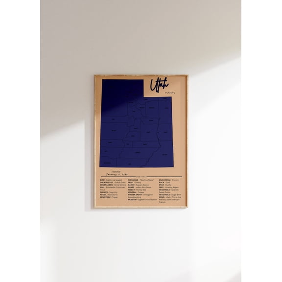
Map Utah Counties(82)
Uses item details. Price when purchased online
Utah County Map Poster, Utah Map Art Poster, Canvas, Utah County Map City vintage Poster, Street Map Artwork Poster, Utah County Map Canvas - 89AZ80


Utah County Map Poster, Utah Map Art Poster, Canvas, Utah County Map City vintage Poster, Street Map Artwork Poster, Utah County Map Canvas - 89AZ80
Utah 1873 Vintage Map 11x14 Unframed PrintAntique Grays Atlas Poster Reproduction w/Counties Rivers Railroads Towns Historical Wall Art Rustic Beehive State Dcor for Home Office Library Classroom $14.99

$1499
current price $14.99Utah 1873 Vintage Map 11x14 Unframed PrintAntique Grays Atlas Poster Reproduction w/Counties Rivers Railroads Towns Historical Wall Art Rustic Beehive State Dcor for Home Office Library Classroom
Utah Vintage Map : Us State Art, Social Studies Decor Unframed Paper Print From $18.99

5 options
Available in additional 5 optionsFrom$1899
Utah Vintage Map : Us State Art, Social Studies Decor Unframed Paper Print
Historic State Map - Utah - Rathbun 1893 - Vintage Wall Art From $36.95

2 options
Available in additional 2 optionsFrom$3695
Historic State Map - Utah - Rathbun 1893 - Vintage Wall Art
PosterArt Utah Print, Utah Poster, Utah Map Art, Map of Utah, 24x36 UNFRAMED From $19.99

2 options
Available in additional 2 optionsFrom$1999
PosterArt Utah Print, Utah Poster, Utah Map Art, Map of Utah, 24x36 UNFRAMED
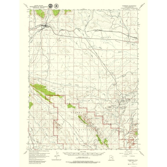
Topographical Map - Thompson Utah Quad - USGS 1958 - Vintage Wall Art From $36.95
2 options
Available in additional 2 optionsFrom$3695
Topographical Map - Thompson Utah Quad - USGS 1958 - Vintage Wall Art
Topographical Map - Danish Flat Utah Quad - USGS 1970 - Vintage Wall Art From $36.95

2 options
Available in additional 2 optionsFrom$3695
Topographical Map - Danish Flat Utah Quad - USGS 1970 - Vintage Wall Art
Topographical Map - Moab Utah Quad - USGS 1959 - Vintage Wall Art From $36.95

2 options
Available in additional 2 optionsFrom$3695
Topographical Map - Moab Utah Quad - USGS 1959 - Vintage Wall Art
Historic State Map - Utah - Cram 1892 - Vintage Wall Art From $36.95

2 options
Available in additional 2 optionsFrom$3695
Historic State Map - Utah - Cram 1892 - Vintage Wall Art
Historic State Map - Utah - Hammond 1910 - Vintage Wall Art From $36.95

2 options
Available in additional 2 optionsFrom$3695
Historic State Map - Utah - Hammond 1910 - Vintage Wall Art
Utah Vintage Map Poster: Us State Art, Social Studies Decor, Unframed Poster Size 24x36 From $19.99
4 options
Available in additional 4 optionsFrom$1999
Utah Vintage Map Poster: Us State Art, Social Studies Decor, Unframed Poster Size 24x36
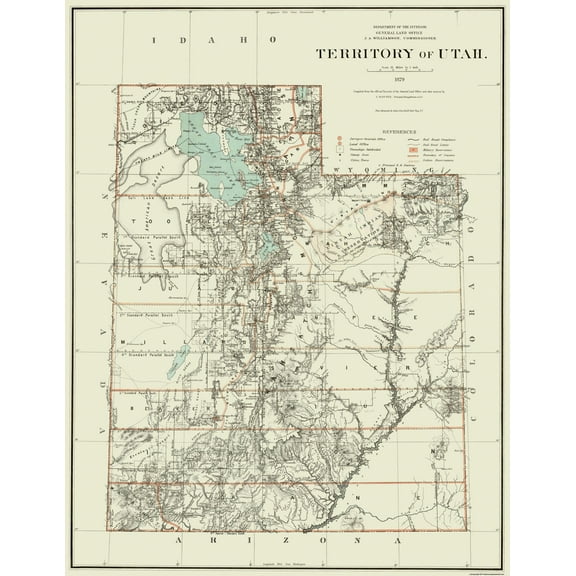
Historic State Map - Utah Territory - Dept of Interior 1879 - Vintage Wall Art From $36.95
2 options
Available in additional 2 optionsFrom$3695
Historic State Map - Utah Territory - Dept of Interior 1879 - Vintage Wall Art
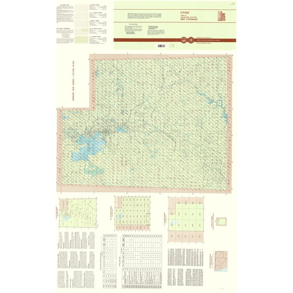
Topographical Map - Utah Index Quad - USGS 1996 - Vintage Wall Art From $36.95
2 options
Available in additional 2 optionsFrom$3695
Topographical Map - Utah Index Quad - USGS 1996 - Vintage Wall Art
Historic State Map - Utah - Cram 1888 - Vintage Wall Art From $36.95

2 options
Available in additional 2 optionsFrom$3695
Historic State Map - Utah - Cram 1888 - Vintage Wall Art
Historic State Map - Utah Great Salt Lake - Hoen 1896 - Vintage Wall Art From $36.95

2 options
Available in additional 2 optionsFrom$3695
Historic State Map - Utah Great Salt Lake - Hoen 1896 - Vintage Wall Art
Topographical Map - Birch Creek Reservoirs Utah Quad - USGS 1969 - Vintage Wall Art From $36.95

2 options
Available in additional 2 optionsFrom$3695
Topographical Map - Birch Creek Reservoirs Utah Quad - USGS 1969 - Vintage Wall Art
Topographical Map - Big Pack Mountain Utah Quad - USGS 1968 - Vintage Wall Art From $36.95

2 options
Available in additional 2 optionsFrom$3695
Topographical Map - Big Pack Mountain Utah Quad - USGS 1968 - Vintage Wall Art
Topographical Map - Knoll Utah Quad - USGS 1954 - Vintage Wall Art From $36.95

2 options
Available in additional 2 optionsFrom$3695
Topographical Map - Knoll Utah Quad - USGS 1954 - Vintage Wall Art
Topographical Map - Pioneer Mesa Utah Quad - USGS 1987 - Vintage Wall Art From $36.95

2 options
Available in additional 2 optionsFrom$3695
Topographical Map - Pioneer Mesa Utah Quad - USGS 1987 - Vintage Wall Art
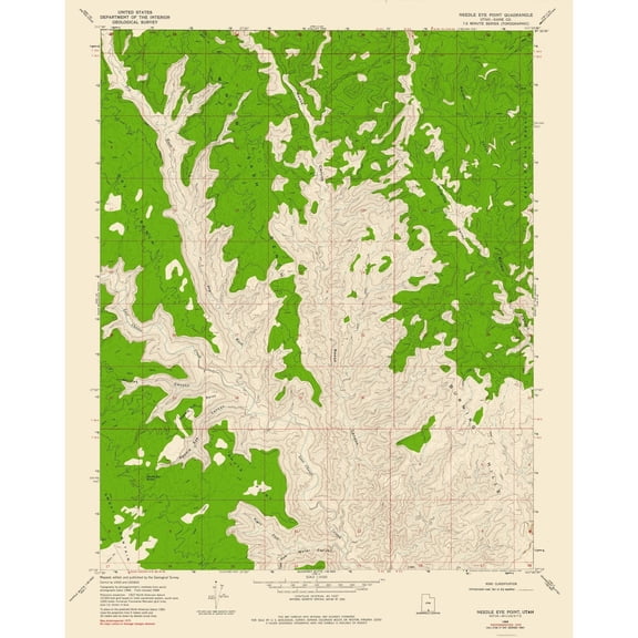
Topographical Map - Needle Eye Point Utah Quad - USGS 1968 - Vintage Wall Art From $36.95
2 options
Available in additional 2 optionsFrom$3695
Topographical Map - Needle Eye Point Utah Quad - USGS 1968 - Vintage Wall Art
Topographical Map - Gold Hill Utah Quad - USGS 1928 - Vintage Wall Art From $36.95

2 options
Available in additional 2 optionsFrom$3695
Topographical Map - Gold Hill Utah Quad - USGS 1928 - Vintage Wall Art
Topographical Map - Twin Rocks Utah Quad - USGS 1985 - Vintage Wall Art From $36.95

2 options
Available in additional 2 optionsFrom$3695
Topographical Map - Twin Rocks Utah Quad - USGS 1985 - Vintage Wall Art
Historic State Map - Utah - Alden 1886 - Vintage Wall Art From $36.95

2 options
Available in additional 2 optionsFrom$3695
Historic State Map - Utah - Alden 1886 - Vintage Wall Art
Historic State Map - Utah Territory - Rogers 1857 - Vintage Wall Art From $36.95

2 options
Available in additional 2 optionsFrom$3695
Historic State Map - Utah Territory - Rogers 1857 - Vintage Wall Art
Topographical Map - Calf Creek Utah Quad - USGS 1964 - Vintage Wall Art From $36.95

2 options
Available in additional 2 optionsFrom$3695
Topographical Map - Calf Creek Utah Quad - USGS 1964 - Vintage Wall Art
Trademark Fine Art Maps Canvas Art ' Utah Map ' by Michael Tompsett From $35.99

2 options
Available in additional 2 optionsFrom$3599
Trademark Fine Art Maps Canvas Art ' Utah Map ' by Michael Tompsett
Save with
Historic State Map - Utah - Rand McNally 1876 - Vintage Wall Art From $36.95

2 options
Available in additional 2 optionsFrom$3695
Historic State Map - Utah - Rand McNally 1876 - Vintage Wall Art
Topographical Map - Cisco Springs Utah Quad - USGS 1970 - Vintage Wall Art From $36.95

2 options
Available in additional 2 optionsFrom$3695
Topographical Map - Cisco Springs Utah Quad - USGS 1970 - Vintage Wall Art
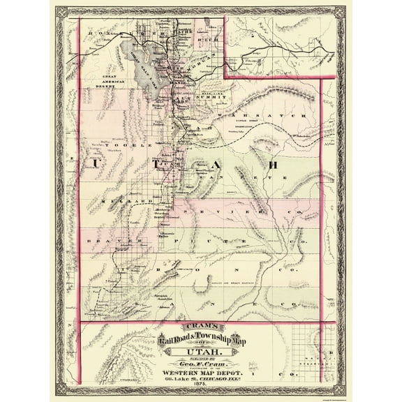
Historic State Map - Utah - Cram 1875 - Vintage Wall Art From $36.95
2 options
Available in additional 2 optionsFrom$3695
Historic State Map - Utah - Cram 1875 - Vintage Wall Art
Historic State Map - Utah - Johnson 1888 - Vintage Wall Art From $36.95

2 options
Available in additional 2 optionsFrom$3695
Historic State Map - Utah - Johnson 1888 - Vintage Wall Art
Topographical Map - Bitter Creek Divide Utah Quad - USGS 1987 - Vintage Wall Art From $36.95

2 options
Available in additional 2 optionsFrom$3695
Topographical Map - Bitter Creek Divide Utah Quad - USGS 1987 - Vintage Wall Art
Historic State Map - Utah - Reynold 1921 - Vintage Wall Art From $36.95

2 options
Available in additional 2 optionsFrom$3695
Historic State Map - Utah - Reynold 1921 - Vintage Wall Art
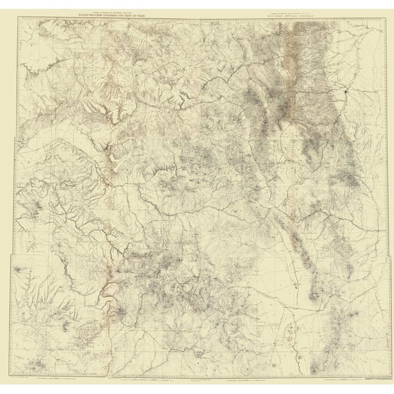
Topographical Map - Arizona Northern Utah Southern Geographical - US Army 1873 From $36.95

2 options
Available in additional 2 optionsFrom$3695
Topographical Map - Arizona Northern Utah Southern Geographical - US Army 1873
Topographical Map - Colorado Utah New Mexico - USGS 1881 - Vintage Wall Art From $36.95
2 options
Available in additional 2 optionsFrom$3695
Topographical Map - Colorado Utah New Mexico - USGS 1881 - Vintage Wall Art
Topographical Map - Colorado Western Utah Economic - USGS 1881 - Vintage Wall Art From $36.95

2 options
Available in additional 2 optionsFrom$3695
Topographical Map - Colorado Western Utah Economic - USGS 1881 - Vintage Wall Art
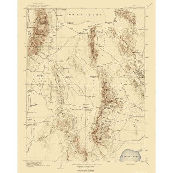
Topographical Map - Fish Springs Utah Quad - USGS 1910 - Vintage Wall Art From $36.95
2 options
Available in additional 2 optionsFrom$3695
Topographical Map - Fish Springs Utah Quad - USGS 1910 - Vintage Wall Art
Topographical Map - Colorado North West Utah - USGS 1881 - Vintage Wall Art From $36.95

2 options
Available in additional 2 optionsFrom$3695
Topographical Map - Colorado North West Utah - USGS 1881 - Vintage Wall Art
Topographical Map - Colorado Western Utah - USGS 1881 - Vintage Wall Art From $36.95

2 options
Available in additional 2 optionsFrom$3695
Topographical Map - Colorado Western Utah - USGS 1881 - Vintage Wall Art
Topographical Map - Sooner Bench Utah Quad - USGS 1954 - Vintage Wall Art From $36.95

2 options
Available in additional 2 optionsFrom$3695
Topographical Map - Sooner Bench Utah Quad - USGS 1954 - Vintage Wall Art
Historic State Map - Nevada Utah - Mitchell 1870 - Vintage Wall Art From $36.95

2 options
Available in additional 2 optionsFrom$3695
Historic State Map - Nevada Utah - Mitchell 1870 - Vintage Wall Art
Other options to consider(20)
Popular in Map Utah Counties
- Wisconsin County Map
- Map Florida County
- Oregon Usa Map
- County Map Of Virginia
- Danville Il Map
- Oregon Map By County
- National Parks Posters
- Central America Travel Books, Maps & Guides
- Northeast United States Travel Books, Maps & Guides
- General South America Travel Books, Maps & Guides
- Ontario Travel Books, Maps & Guides
- Southern United States Travel Books, Maps & Guides
Related Products
Topographical Map - Nevada Southern Nevada - Hamel 1869 - Vintage Wall Art
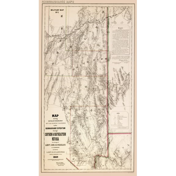 Topographical Map - Nevada Southern Nevada - Hamel 1869 - Vintage Wall Art$40.95current price $40.95
Historic Framed Print, NJ Woodbury 1886 MAP, 17-7/8" x 21-7/8"
 Historic Framed Print, NJ Woodbury 1886 MAP, 17-7/8" x 21-7/8"$298.00current price $298.00
Historic City Map - Salem Massachusetts - Walling 1871 - Vintage Wall Art
 Historic City Map - Salem Massachusetts - Walling 1871 - Vintage Wall Art$45.95current price $45.95
Topographical Map - Mohave City Nevada California Arizona Quad - USGS 1926 - Vintage Wall Art
 Topographical Map - Mohave City Nevada California Arizona Quad - USGS 1926 - Vintage Wall Art$40.95current price $40.95
Historic State Map - Washington Admiralty Inlet - Hoen 1896 - Vintage Wall Art
 Historic State Map - Washington Admiralty Inlet - Hoen 1896 - Vintage Wall Art$45.95current price $45.95
Historic Print, PA Newville 1903 MAP, 16" x 20"
 Historic Print, PA Newville 1903 MAP, 16" x 20"$57.00current price $57.00
Historic Print, NJ Absecon 1924 MAP, 16" x 20"
 Historic Print, NJ Absecon 1924 MAP, 16" x 20"$57.00current price $57.00
Historic City Map - Charles Town South CarolinaSproule 1780 - Vintage Wall Art
 Historic City Map - Charles Town South CarolinaSproule 1780 - Vintage Wall Art$40.95current price $40.95
Map of Lawrence, Kansas, Multiline Coordinates Colored (16x20)
 Map of Lawrence, Kansas, Multiline Coordinates Colored (16x20)$24.95current price $24.95
HISTORIX 1914 Map of Alaska Vintage Poster Wall Art Print, 18 x 24 Inch
 HISTORIX 1914 Map of Alaska Vintage Poster Wall Art Print, 18 x 24 Inch$39.99current price $39.99
Topographical Map - Redding California Quad - USGS 1956 - Vintage Wall Art
 Topographical Map - Redding California Quad - USGS 1956 - Vintage Wall Art$40.95current price $40.95
Historic City Map - Portland Oregon - Reynold 1921 - Vintage Wall Art
 Historic City Map - Portland Oregon - Reynold 1921 - Vintage Wall Art$45.95current price $45.95
1890 White Mountains Map - Vintage Map Wall Art - White Mountains Poster - Index to Summits and Geographical Features - New Hampshire Poster - Maine Map Poster
 1890 White Mountains Map - Vintage Map Wall Art - White Mountains Poster - Index to Summits and Geographical Features - New Hampshire Poster - Maine Map Poster$59.99current price $59.99
Historic State Map - North Dakota South Dakota - Bismarck - Hoen 1896 - Vintage Wall Art
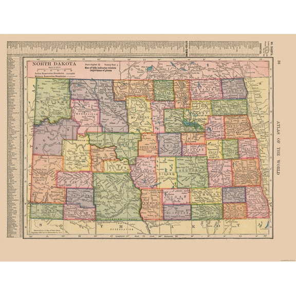
 Historic State Map - North Dakota South Dakota - Bismarck - Hoen 1896 - Vintage Wall Art$40.95current price $40.95
Historic State Map - North Dakota - Hammond 1910 - Vintage Wall Art
 Historic State Map - North Dakota - Hammond 1910 - Vintage Wall Art$45.95current price $45.95
Historic City Map - Winchester Virginia - 1862 - Vintage Wall Art
 Historic City Map - Winchester Virginia - 1862 - Vintage Wall Art$40.95current price $40.95
Topographical Map - Antioch California Quad - USGS 1908 - Vintage Wall Art
 Topographical Map - Antioch California Quad - USGS 1908 - Vintage Wall Art$45.95current price $45.95