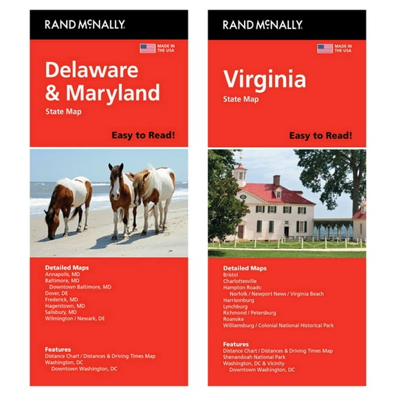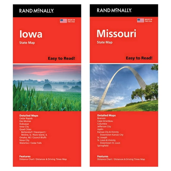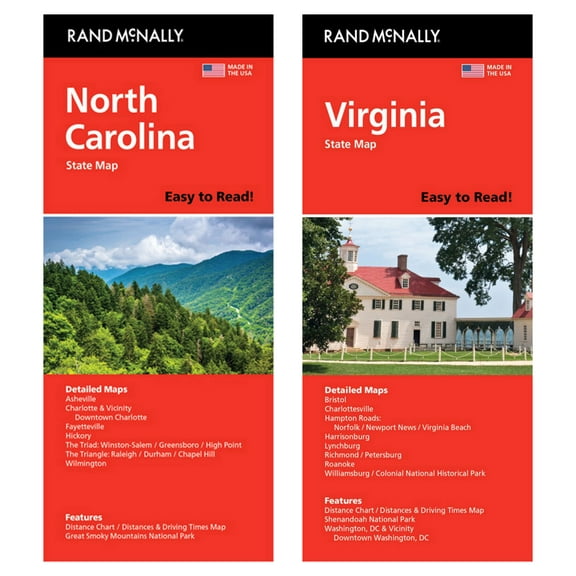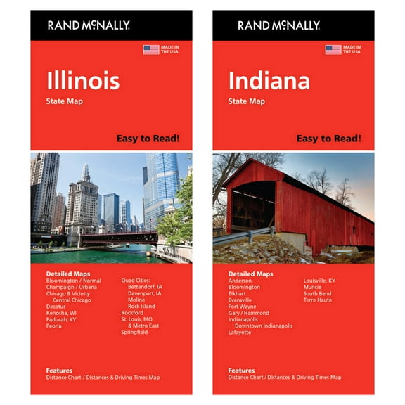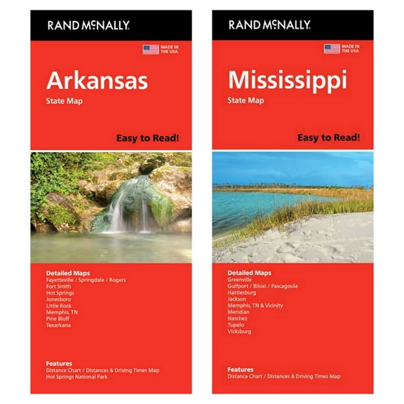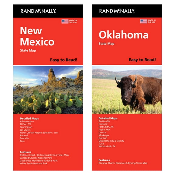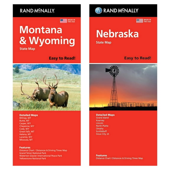
Easy To Read Indiana State Map
Hero image 0 of Easy To Read Indiana State Map, 0 of 1

Easy To Read Indiana State Map

|3 ratings

Key item features

  • Enhanced Readability: Features a 42% larger map with a bigger type size compared to the standard Rand McNally Folded Map, ensuring easier viewing.
  • Comprehensive Cartography: Displays all Interstate, U.S., state, and county highways, providing a complete road network for navigation.
  • Key Landmark Indicators: Clearly marks parks, points of interest, airports, and county boundaries for easy identification of important locations.
  • Practical Travel Data: Includes mileage and driving times map, aiding in trip planning and estimating travel durations.
  • Efficient Navigation Tools: Incorporates an easy-to-use legend and a detailed index for quick and precise location of destinations.
  • Regularly Updated Maps: Provides full-color maps that are consistently updated to maintain accuracy and reliability for travelers.
Generated by AI
Current price is Now $9.99
You save $2.66
was $12.65
Price when purchased online
Out of stock

How do you want your item?

How do you want your item?
Out of stock

About this item

Product details

Specifications

Warranty

Customer ratings & reviews

3.7 out of 5 stars
stars
3 ratings1 review
How item rating is calculated
Filtered and sorted results would be available on the new 'Customer ratings & reviews' page.
Sort by |

Showing 1-1 of 1 review

Jun 23, 2026
Tom
Top Reviewer
Sold and shipped byBill's Bookshop, LLC
5 out of 5 stars review

Verified Purchase

Really, It's a Paper map. Doesn't need charging.

I recommend every driver under 30 yrs. should learn how to read one for your area. This is high quality, bright on the page, and easy to fold back up. I needed it in a hurry, normally their free at a welcome center in your state. Indiana was out of them. These are great for trip planning too.

Helpful?51ZK8V07P7MU195227597