

Northwestern Maps(15)
Uses item details. Price when purchased online
24"x36" Gallery Poster, 1865 Spruner Map of Northwestern Africa, the Magreb, and the Barbary Coast in Antiquity $52.95
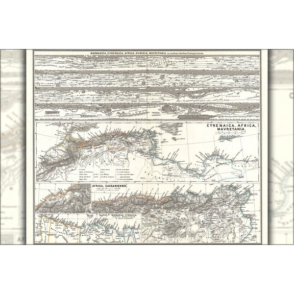
$5295
current price $52.9524"x36" Gallery Poster, 1865 Spruner Map of Northwestern Africa, the Magreb, and the Barbary Coast in Antiquity
Historic Map - Paris France Northwestern - Blue Guides 1921 - Vintage Wall Art From $36.95

2 options
Available in additional 2 optionsFrom$3695
Historic Map - Paris France Northwestern - Blue Guides 1921 - Vintage Wall Art
Historic Map - South America Northwestern - Jansson 1630 - Vintage Wall Art From $36.95

2 options
Available in additional 2 optionsFrom$3695
Historic Map - South America Northwestern - Jansson 1630 - Vintage Wall Art
24"x36" Gallery Poster, 1818 Pinkerton Map of Northwestern South America (Columbia, Venezuela, Ecuador, Panama) $52.95

$5295
current price $52.9524"x36" Gallery Poster, 1818 Pinkerton Map of Northwestern South America (Columbia, Venezuela, Ecuador, Panama)
Railroad Map - Jacksonville Northwestern Southeastern 1850 - Vintage Wall Art From $36.95

2 options
Available in additional 2 optionsFrom$3695
Railroad Map - Jacksonville Northwestern Southeastern 1850 - Vintage Wall Art
Historic Map - Italy Northwestern - Bertarelli 1914 - Vintage Wall Art From $36.95

2 options
Available in additional 2 optionsFrom$3695
Historic Map - Italy Northwestern - Bertarelli 1914 - Vintage Wall Art
Historic Map - Africa Northwestern - Everett 1742 - Vintage Wall Art From $36.95

2 options
Available in additional 2 optionsFrom$3695
Historic Map - Africa Northwestern - Everett 1742 - Vintage Wall Art
Historic Map - Italy Northwestern - Ortelius 1587 - Vintage Wall Art From $36.95

2 options
Available in additional 2 optionsFrom$3695
Historic Map - Italy Northwestern - Ortelius 1587 - Vintage Wall Art
Historic Map - France Northwestern - Stieler 1885 - Vintage Wall Art From $36.95

2 options
Available in additional 2 optionsFrom$3695
Historic Map - France Northwestern - Stieler 1885 - Vintage Wall Art
Historic Map - Italy Northwestern - Bertarelli 1914 - Vintage Wall Art From $36.95

2 options
Available in additional 2 optionsFrom$3695
Historic Map - Italy Northwestern - Bertarelli 1914 - Vintage Wall Art
Historic Map - Russia Northwestern - Bartholomew 1892 - Vintage Wall Art From $36.95

2 options
Available in additional 2 optionsFrom$3695
Historic Map - Russia Northwestern - Bartholomew 1892 - Vintage Wall Art
Historic Map - Sicily Italy Northwestern - Baedeker 1880 - Vintage Wall Art From $36.95

2 options
Available in additional 2 optionsFrom$3695
Historic Map - Sicily Italy Northwestern - Baedeker 1880 - Vintage Wall Art
Historic Map - Northwestern Switzerland - Robert 1748 - Vintage Wall Art From $36.95

2 options
Available in additional 2 optionsFrom$3695
Historic Map - Northwestern Switzerland - Robert 1748 - Vintage Wall Art
Historic Map - North America Northeastern Coast - Visscher 1745 - Vintage Wall Art From $36.95

2 options
Available in additional 2 optionsFrom$3695
Historic Map - North America Northeastern Coast - Visscher 1745 - Vintage Wall Art
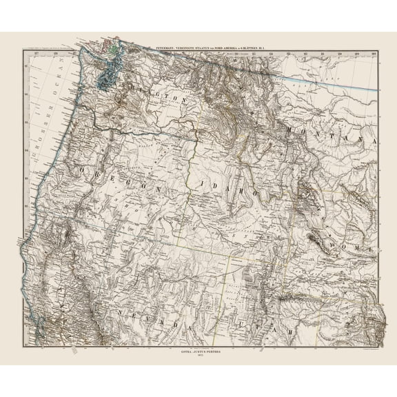
Historic State Map - United States Northwest - Petermann 1872 - Vintage Wall Art From $36.95
2 options
Available in additional 2 optionsFrom$3695
Historic State Map - United States Northwest - Petermann 1872 - Vintage Wall Art
Other options to consider(207)
Poster: Resource Map - North America Reference Wall Map From $12.99


From$1299
Poster: Resource Map - North America Reference Wall Map
1 out of 5 stars
Northwestern Paris France - Blue Guides 1921 Poster Print by Blue Guides Blue Guides (24 x 18) # ITFR0218 From $37.83

2 options
Available in additional 2 optionsFrom$3783
Northwestern Paris France - Blue Guides 1921 Poster Print by Blue Guides Blue Guides (24 x 18) # ITFR0218
Northwest Territories Travel Poster, Arctic Map And Northern Lights Wall Art From $18.99

4 options
Available in additional 4 optionsFrom$1899
Northwest Territories Travel Poster, Arctic Map And Northern Lights Wall Art
National Geographic Reference Map: National Geographic Dinosaurs of North America Wall Map (22.25 X 30.5 In) (Sheet map, rolled) $15.80

$1580
current price $15.80National Geographic Reference Map: National Geographic Dinosaurs of North America Wall Map (22.25 X 30.5 In) (Sheet map, rolled)
Amundsen's North West Passage Route Map Fine Art Print by Ken Welsh From $16.42

2 options
Available in additional 2 optionsFrom$1642
Amundsen's North West Passage Route Map Fine Art Print by Ken Welsh
Topographical Map - Alice Texas North Quad - USGS 1963 - Vintage Wall Art From $36.95

2 options
Available in additional 2 optionsFrom$3695
Topographical Map - Alice Texas North Quad - USGS 1963 - Vintage Wall Art
1902 Chicago Map Wall Art - Vintage Chicago Map Print - Map of Chicago and North Western Railway Terminals - Chicago Map Art - Chicago Vintage Poster From $39.99

2 options
Available in additional 2 optionsFrom$3999
1902 Chicago Map Wall Art - Vintage Chicago Map Print - Map of Chicago and North Western Railway Terminals - Chicago Map Art - Chicago Vintage Poster
Explore the Skies: Sibley's Raptors of Western NA Bird Watching Guide by David Allen Sibley $22.55

$2255
current price $22.55Explore the Skies: Sibley's Raptors of Western NA Bird Watching Guide by David Allen Sibley
24"x36" Gallery Poster, map of the Great Lakes, Michigan, Indiana, Ohio and contiguous parts of the Canada and the Northeast c1812 by Kens $52.95

$5295
current price $52.9524"x36" Gallery Poster, map of the Great Lakes, Michigan, Indiana, Ohio and contiguous parts of the Canada and the Northeast c1812 by Kens
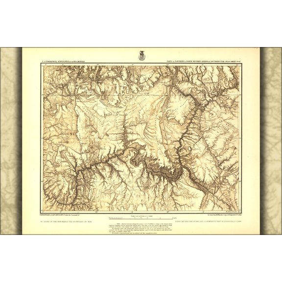
24"x36" Gallery Poster, map of Northern Arizona grand canyon 1873 $52.95
$5295
current price $52.9524"x36" Gallery Poster, map of Northern Arizona grand canyon 1873
Jacksonville North Western and South Eastern Railway 1855 by Vintage Maps (26 x 24)

Jacksonville North Western and South Eastern Railway 1855 by Vintage Maps (26 x 24)
Topographical Map - Arizona Northern Utah Southern Geographical - US Army 1872 From $36.95

2 options
Available in additional 2 optionsFrom$3695
Topographical Map - Arizona Northern Utah Southern Geographical - US Army 1872
Michigan Southern Railroad Northwestern States Poster Print by Jervis Jervis (24 x 18) # USMI0004 From $37.83

2 options
Available in additional 2 optionsFrom$3783
Michigan Southern Railroad Northwestern States Poster Print by Jervis Jervis (24 x 18) # USMI0004
Historic State Map - Washington North West - Hoen 1896 - Vintage Wall Art From $36.95

2 options
Available in additional 2 optionsFrom$3695
Historic State Map - Washington North West - Hoen 1896 - Vintage Wall Art
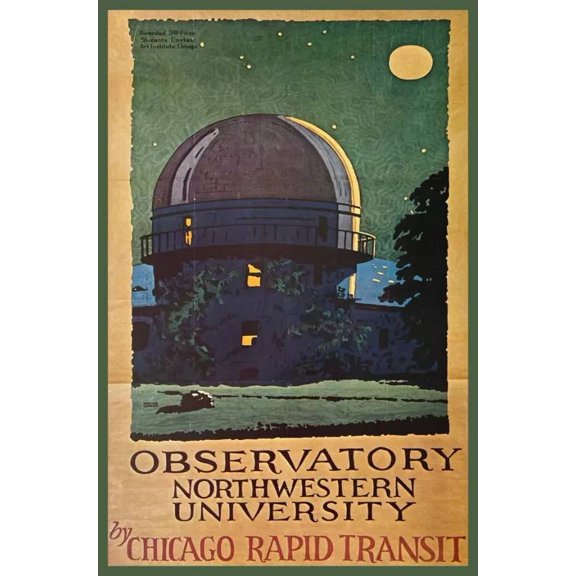
Historic State Map - Frontier North Western Defenses - Gratiot 1837 - Vintage Wall Art From $36.95

2 options
Available in additional 2 optionsFrom$3695
Historic State Map - Frontier North Western Defenses - Gratiot 1837 - Vintage Wall Art
Railroad Map - Northern Pacific Railroad Yellowstone Route - Rand McNally 1897 From $36.95

2 options
Available in additional 2 optionsFrom$3695
Railroad Map - Northern Pacific Railroad Yellowstone Route - Rand McNally 1897
Topographical Map - Arizona Northern Utah Southern Geographical - US Army 1873 From $36.95

2 options
Available in additional 2 optionsFrom$3695
Topographical Map - Arizona Northern Utah Southern Geographical - US Army 1873

New Hampshire State Map 31x24in - National Atlas Reference Map with Highways, Cities and Rivers | Office Decor 【Poster Paper】 From $41.19
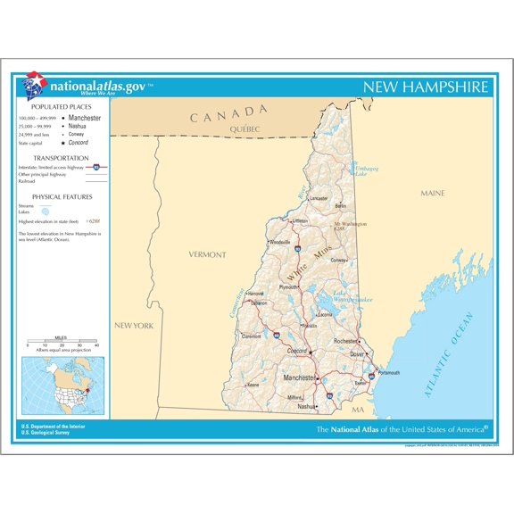
3 options
Available in additional 3 optionsFrom$4119
New Hampshire State Map 31x24in - National Atlas Reference Map with Highways, Cities and Rivers | Office Decor 【Poster Paper】
Topographical Map - Clarkville Northeast Colorado Quad - USGS 1971 - Vintage Wall Art From $36.95

2 options
Available in additional 2 optionsFrom$3695
Topographical Map - Clarkville Northeast Colorado Quad - USGS 1971 - Vintage Wall Art
Big Sky Maps East Klickitat GMU Map 382 $17.02

$1702
current price $17.02Big Sky Maps East Klickitat GMU Map 382
Northern Circumpolar Map Poster Print - W.G. Evans (24 x 24)
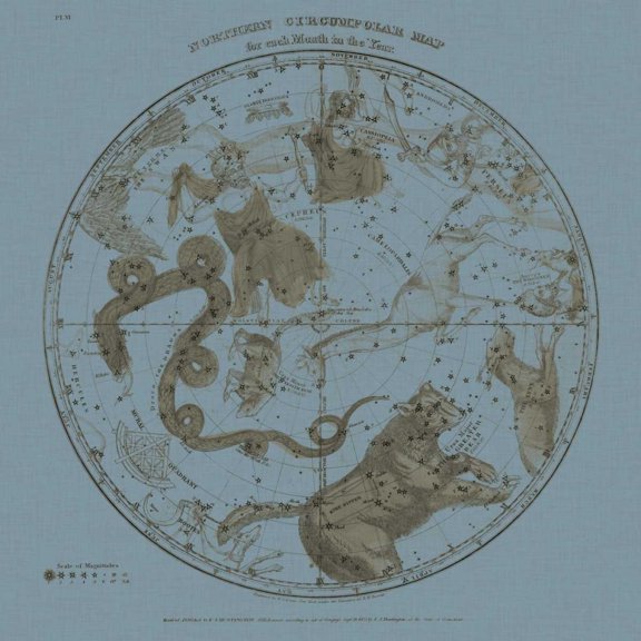
Northern Circumpolar Map Poster Print - W.G. Evans (24 x 24)
Finley, Anthony 12x14 White Modern Wood Framed Museum Art Print Titled - Map of North America Including All The Recent Geographical Discoveries, 1826 From $29.99

4 options
Available in additional 4 optionsFrom$2999
Finley, Anthony 12x14 White Modern Wood Framed Museum Art Print Titled - Map of North America Including All The Recent Geographical Discoveries, 1826
Popular in Northwestern Maps
Related Products
State of Maine Wildlife Map - New England - Vintage Pictorial Map by J.G. Shelley & Louis Koster c.1950s - Master Art Print (Unframed) 9in x 12in
 State of Maine Wildlife Map - New England - Vintage Pictorial Map by J.G. Shelley & Louis Koster c.1950s - Master Art Print (Unframed) 9in x 12in$14.98current price $14.98
Historic Map - London England - Philip 1904 - Vintage Wall Art
 Historic Map - London England - Philip 1904 - Vintage Wall Art$40.95current price $40.95
Historic State Map - California - Hoen 1896 - Vintage Wall Art
 Historic State Map - California - Hoen 1896 - Vintage Wall Art$40.95current price $40.95
Historic City Map - Pensacola Florida - Pintado 1815 - Vintage Wall Art
 Historic City Map - Pensacola Florida - Pintado 1815 - Vintage Wall Art$40.95current price $40.95
Historic State Map - Florida - Cram 1892 - Vintage Wall Art
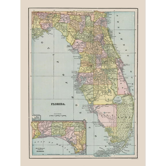 Historic State Map - Florida - Cram 1892 - Vintage Wall Art$45.95current price $45.95
Historic City Map - New Orleans Louisiana - Cram 1892 - Vintage Wall Art
 Historic City Map - New Orleans Louisiana - Cram 1892 - Vintage Wall Art$40.95current price $40.95
Historic State Map - Montana Yellowstone National Park - Hoen 1896 - Vintage Wall Art
 Historic State Map - Montana Yellowstone National Park - Hoen 1896 - Vintage Wall Art$40.95current price $40.95
Topographical Map - Gonzales California Quad - USGS 1921 - Vintage Wall Art
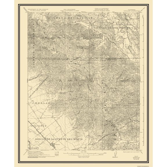 Topographical Map - Gonzales California Quad - USGS 1921 - Vintage Wall Art$40.95current price $40.95
Map of Temecula, California, Multiline Coordinates Colored (24x36)
Map of Temecula, California, Multiline Coordinates Colored (24x36)
Great BIG Canvas | Rolled Michael Tompsett Poster Print entitled New Orleans Street Map
Great BIG Canvas | Rolled Michael Tompsett Poster Print entitled New Orleans Street Map
Map of Glendale, Arizona, Multiline Coordinates Colored (8x10)
Map of Glendale, Arizona, Multiline Coordinates Colored (8x10)
Historic City Map - Long Island New York - Williams 1911 - Vintage Wall Art
 Historic City Map - Long Island New York - Williams 1911 - Vintage Wall Art$45.95current price $45.95
Historic State Map - Georgia - Hoen 1896 - Vintage Wall Art
 Historic State Map - Georgia - Hoen 1896 - Vintage Wall Art$40.95current price $40.95
Historic State Map - California - Alden 1886 - Vintage Wall Art
 Historic State Map - California - Alden 1886 - Vintage Wall Art$40.95current price $40.95
Historic Map - Lambeth London England - Philip 1904 - Vintage Wall Art
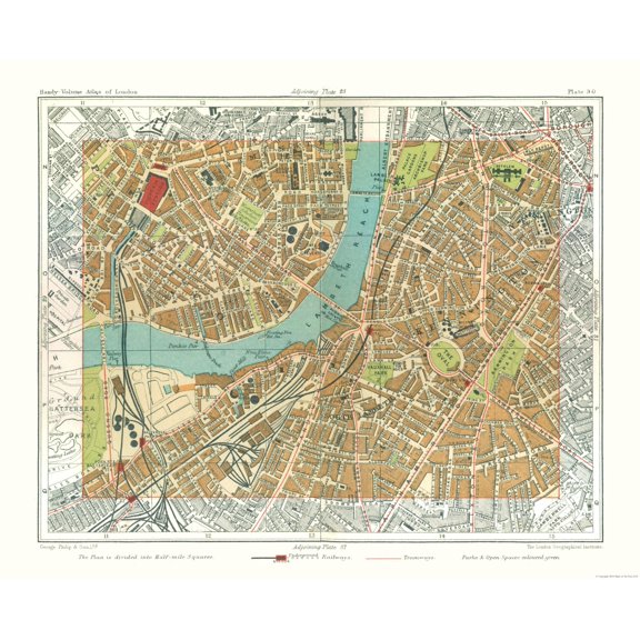 Historic Map - Lambeth London England - Philip 1904 - Vintage Wall Art$40.95current price $40.95
Map of Jasper, Indiana, Multiline Coordinates Colored (24x36)
Map of Jasper, Indiana, Multiline Coordinates Colored (24x36)