Colony Map(56)
Uses item details. Price when purchased online
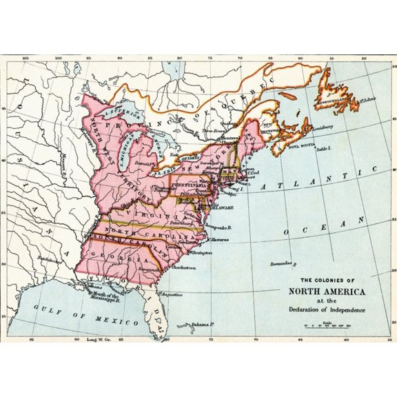
Map of the Colonies of North America at the Declaration of Independence, 1776 - Fine Art Print From $15.50
2 options
Available in additional 2 optionsFrom$1550
Map of the Colonies of North America at the Declaration of Independence, 1776 - Fine Art Print
24"x36" Gallery Poster, 1755 map of north america pre united states british colonies $52.95

$5295
current price $52.9524"x36" Gallery Poster, 1755 map of north america pre united states british colonies
American Colonization Map of Liberia by G F Nesbit and Co (24 x 15) From $37.83

2 options
Available in additional 2 optionsFrom$3783
American Colonization Map of Liberia by G F Nesbit and Co (24 x 15)
Historic State Map - Cherokee Nation of Indians Colonies Mississippi River 1884 From $36.95

2 options
Available in additional 2 optionsFrom$3695
Historic State Map - Cherokee Nation of Indians Colonies Mississippi River 1884
Historic State Map - New England Original Colonies - 1673 - Vintage Wall Art From $36.95

2 options
Available in additional 2 optionsFrom$3695
Historic State Map - New England Original Colonies - 1673 - Vintage Wall Art
24"x36" Gallery Poster, 1771 map of north america united states colonies $52.95

$5295
current price $52.9524"x36" Gallery Poster, 1771 map of north america united states colonies
Historic Map - United States Southern British Colonies - Sayer 1776 From $36.95

2 options
Available in additional 2 optionsFrom$3695
Historic Map - United States Southern British Colonies - Sayer 1776
HISTORIX 1776 Map of Southern British Colonies in America Vintage Poster Wall Art Print, 18 x 24 Inch From $39.99

2 options
Available in additional 2 optionsFrom$3999
HISTORIX 1776 Map of Southern British Colonies in America Vintage Poster Wall Art Print, 18 x 24 Inch
Map Of Acadia, 17th Century Colony Of New France In Northeastern North America, And The Water Highway To Canada. From The History Of Our Country, Published 1899 by Ken Welsh / Design Pics (16 x 12) From $19.99

3 options
Available in additional 3 optionsFrom$1999
Map Of Acadia, 17th Century Colony Of New France In Northeastern North America, And The Water Highway To Canada. From The History Of Our Country, Published 1899 by Ken Welsh / Design Pics (16 x 12)
Historic Map - North America Colonies - Santini 1794 - Vintage Wall Art From $36.95

2 options
Available in additional 2 optionsFrom$3695
Historic Map - North America Colonies - Santini 1794 - Vintage Wall Art
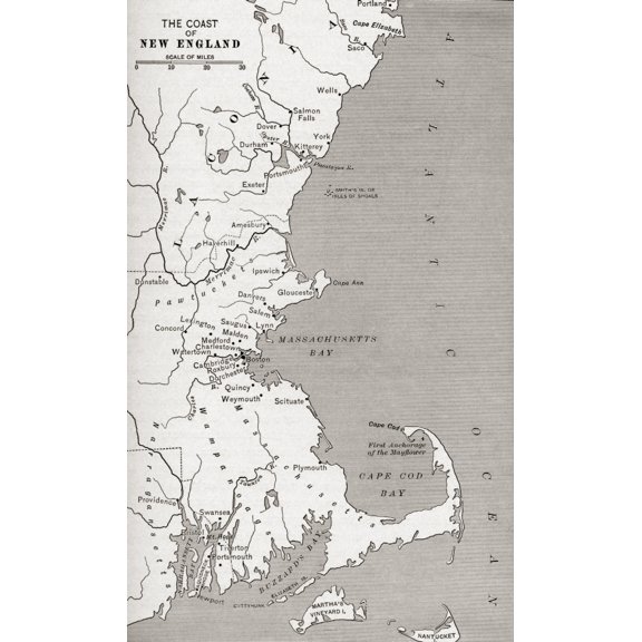
Map Showing The Settlements In The New England Colonies, North America In The 17th Century. From The History Of Our Country, Published 1899 by Ken Welsh / Design Pics (12 x 20) From $19.99
3 options
Available in additional 3 optionsFrom$1999
Map Showing The Settlements In The New England Colonies, North America In The 17th Century. From The History Of Our Country, Published 1899 by Ken Welsh / Design Pics (12 x 20)
Revolutionary War Map - North America British Colonies - Pownall 1776 - Vintage Wall Art From $36.95

2 options
Available in additional 2 optionsFrom$3695
Revolutionary War Map - North America British Colonies - Pownall 1776 - Vintage Wall Art
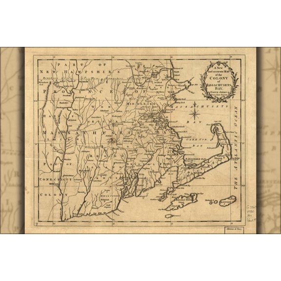
24"x36" Gallery Poster, map of colony of Massachusetts Bay 1780 $52.95
$5295
current price $52.9524"x36" Gallery Poster, map of colony of Massachusetts Bay 1780
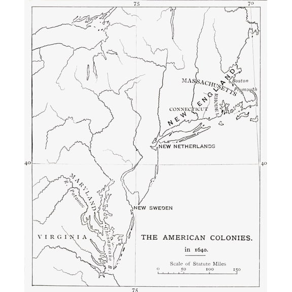
Map Of British Swedish And Dutch American Colonies As They Were In 1640 From The Book Short History Of The English People By JR Green Published London 1893 Canvas Art - Ken Welsh Design Pics (13 x 16 $30.19
$3019
current price $30.19Map Of British Swedish And Dutch American Colonies As They Were In 1640 From The Book Short History Of The English People By JR Green Published London 1893 Canvas Art - Ken Welsh Design Pics (13 x 16
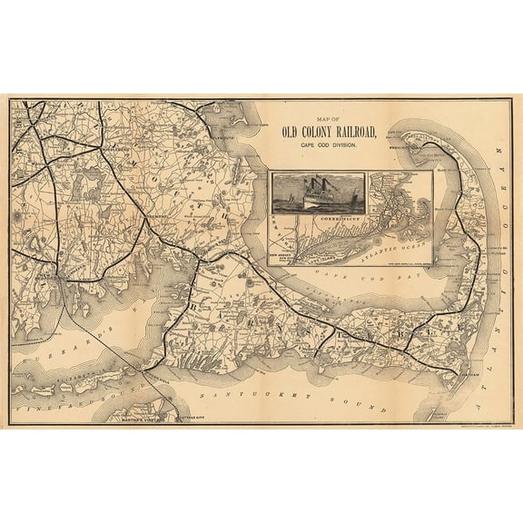
1888 Old Colony Railroad Map Poster Print - GST (24 x 15) From $37.83
2 options
Available in additional 2 optionsFrom$3783
1888 Old Colony Railroad Map Poster Print - GST (24 x 15)
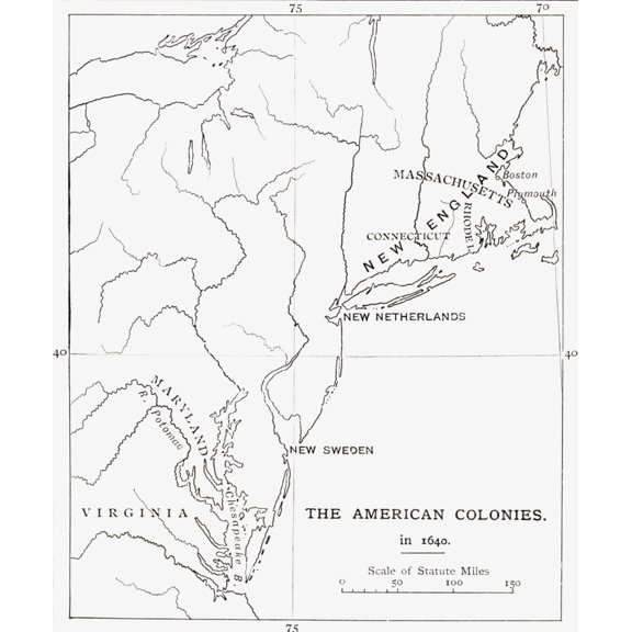
Map Of British Swedish And Dutch American Colonies As They Were In 1640 From The Book Short History Of The English People By JR Green Published London 1893 Canvas Art - Ken Welsh Design Pics (26 x 32 $120.77
$12077
current price $120.77Map Of British Swedish And Dutch American Colonies As They Were In 1640 From The Book Short History Of The English People By JR Green Published London 1893 Canvas Art - Ken Welsh Design Pics (26 x 32
Historic County Map- Tulare County Colonies California - Thomas 1892 - Vintage Wall Art From $36.95

2 options
Available in additional 2 optionsFrom$3695
Historic County Map- Tulare County Colonies California - Thomas 1892 - Vintage Wall Art
Map of the British Colonies south of Canada up to 1783. From British History in Periods, published 1904. Poster Print by Ken Welsh (12 x 18) From $19.99

3 options
Available in additional 3 optionsFrom$1999
Map of the British Colonies south of Canada up to 1783. From British History in Periods, published 1904. Poster Print by Ken Welsh (12 x 18)
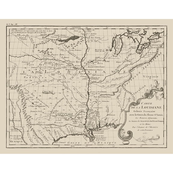
Historic State Map - Louisiana French Colony - Jefferys 1767 - Vintage Wall Art From $36.95
2 options
Available in additional 2 optionsFrom$3695
Historic State Map - Louisiana French Colony - Jefferys 1767 - Vintage Wall Art
Historic Map - French Global Colonies - Migeon 1869 - Vintage Wall Art From $36.95

2 options
Available in additional 2 optionsFrom$3695
Historic Map - French Global Colonies - Migeon 1869 - Vintage Wall Art
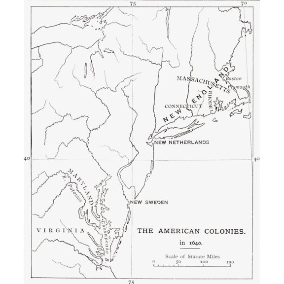
Map Of British, Swedish And Dutch American Colonies As They Were In 1640. From The Book Short History Of The English People By J.R. Green Published London 1893. Poster Print (13 x 16) From $19.99
3 options
Available in additional 3 optionsFrom$1999
Map Of British, Swedish And Dutch American Colonies As They Were In 1640. From The Book Short History Of The English People By J.R. Green Published London 1893. Poster Print (13 x 16)
Revolutionary War Map - North America English Colonies - Overton 1756 - Vintage Wall Art From $36.95

2 options
Available in additional 2 optionsFrom$3695
Revolutionary War Map - North America English Colonies - Overton 1756 - Vintage Wall Art
Historical Map of American Colonies and Canada (1755) by Hilary Jane Morgan From $14.25

2 options
Available in additional 2 optionsFrom$1425
Historical Map of American Colonies and Canada (1755) by Hilary Jane Morgan
Historic Map - Surinam Dutch Colony - Jefferys 1771 - Vintage Wall Art From $36.95

2 options
Available in additional 2 optionsFrom$3695
Historic Map - Surinam Dutch Colony - Jefferys 1771 - Vintage Wall Art
Historic Map - Dominican Republic Jamaica Cuba Spanish Colonies - Mejia 1755 From $36.95

2 options
Available in additional 2 optionsFrom$3695
Historic Map - Dominican Republic Jamaica Cuba Spanish Colonies - Mejia 1755
Trademark Art 'Map of English Colonies in the Caribbean, 1750' Canvas Art From $32.55

2 options
Available in additional 2 optionsFrom$3255
Trademark Art 'Map of English Colonies in the Caribbean, 1750' Canvas Art
Historic Map - French Colonies - Schrader 1908 - Vintage Wall Art From $36.95

2 options
Available in additional 2 optionsFrom$3695
Historic Map - French Colonies - Schrader 1908 - Vintage Wall Art
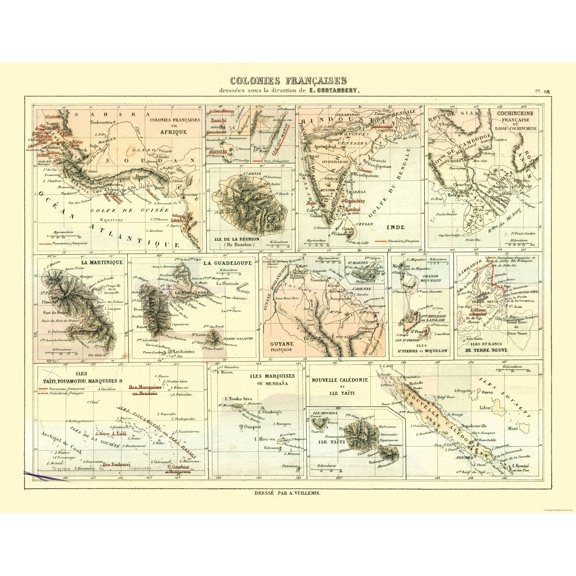
Historic Map - French Colonies - Cortambert 1880 - Vintage Wall Art From $36.95
2 options
Available in additional 2 optionsFrom$3695
Historic Map - French Colonies - Cortambert 1880 - Vintage Wall Art
Historic Map - Australia Western Colony - Arrowsmith 1844 - Vintage Wall Art From $36.95

2 options
Available in additional 2 optionsFrom$3695
Historic Map - Australia Western Colony - Arrowsmith 1844 - Vintage Wall Art
Historic State Map - Connecticut Colony - 1766 - Vintage Wall Art From $36.95

2 options
Available in additional 2 optionsFrom$3695
Historic State Map - Connecticut Colony - 1766 - Vintage Wall Art
Historic State Map - Texas Colonists and Emigrants Route 1878 - Vintage Wall Art From $36.95

2 options
Available in additional 2 optionsFrom$3695
Historic State Map - Texas Colonists and Emigrants Route 1878 - Vintage Wall Art
Revolutionary War - North America Britain Colonies - Tirion 1755 - WallArt From $36.95

2 options
Available in additional 2 optionsFrom$3695
Revolutionary War - North America Britain Colonies - Tirion 1755 - WallArt
Historic County Map - Austin Colony Texas 1821-1836 - General Land Office 1993 - Vintage Wall Art From $36.95

2 options
Available in additional 2 optionsFrom$3695
Historic County Map - Austin Colony Texas 1821-1836 - General Land Office 1993 - Vintage Wall Art
Historic Map - French Island Colonies - Migeon 1869 - Vintage Wall Art From $36.95

2 options
Available in additional 2 optionsFrom$3695
Historic Map - French Island Colonies - Migeon 1869 - Vintage Wall Art
Vintage Maps 13x12 White Modern Wood Framed Museum Art Print Titled - British Colonies in North America From $29.99

4 options
Available in additional 4 optionsFrom$2999
Vintage Maps 13x12 White Modern Wood Framed Museum Art Print Titled - British Colonies in North America
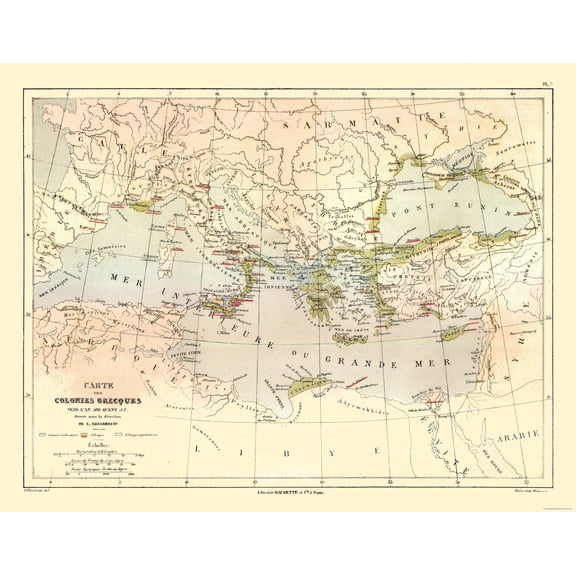
Historic Map - Middle East Greek Colonies 500 BC - Cortambert 1880 From $36.95
2 options
Available in additional 2 optionsFrom$3695
Historic Map - Middle East Greek Colonies 500 BC - Cortambert 1880
Historic Map - Cape Colony South Africa - Bartholomew 1892 - Vintage Wall Art From $36.95

2 options
Available in additional 2 optionsFrom$3695
Historic Map - Cape Colony South Africa - Bartholomew 1892 - Vintage Wall Art
Historic Map - Algeria French Colonies - Drioux 1882 - Vintage Wall Art From $36.95

2 options
Available in additional 2 optionsFrom$3695
Historic Map - Algeria French Colonies - Drioux 1882 - Vintage Wall Art
G F Nesbit and Co 14x10 White Modern Wood Framed Museum Art Print Titled - American Colonization Map of Liberia From $29.99

4 options
Available in additional 4 optionsFrom$2999
G F Nesbit and Co 14x10 White Modern Wood Framed Museum Art Print Titled - American Colonization Map of Liberia
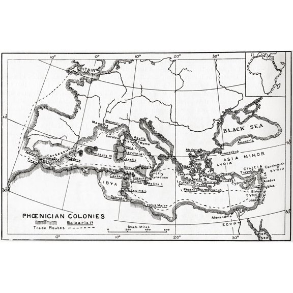
Map of Phoenician Trade Routes and Colonies Circa 1000 BC Fine Art Print by Ken Welsh From $16.42
2 options
Available in additional 2 optionsFrom$1642
Map of Phoenician Trade Routes and Colonies Circa 1000 BC Fine Art Print by Ken Welsh
Other options to consider(413)
Popular in Colony Map
Related Products
New York City Subway Map 1979-11x14 Unframed Art Print Poster Paper - Classic Outdoor Decor, Old Map of NYC Subway, Historical Map of New York, Classic Gift for Map Enthusiast and Cartography
 New York City Subway Map 1979-11x14 Unframed Art Print Poster Paper - Classic Outdoor Decor, Old Map of NYC Subway, Historical Map of New York, Classic Gift for Map Enthusiast and Cartography$14.99current price $14.99
Topographical Map - Gonzales California Quad - USGS 1921 - Vintage Wall Art
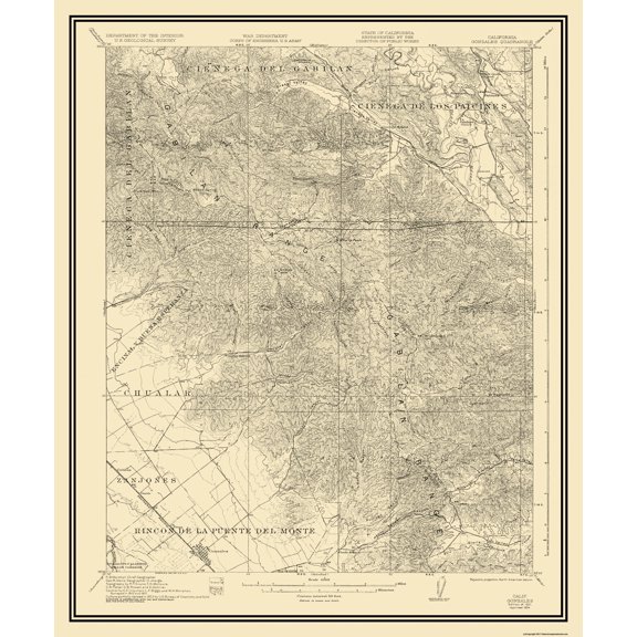 Topographical Map - Gonzales California Quad - USGS 1921 - Vintage Wall Art$40.95current price $40.95
HISTORIX Vintage 1902 Eureka California Map Poster - 24x36 Inch Old Bird's Eye View of Eureka Humboldt County Map of California Poster Wall Art Print
 HISTORIX Vintage 1902 Eureka California Map Poster - 24x36 Inch Old Bird's Eye View of Eureka Humboldt County Map of California Poster Wall Art Print$84.99current price $84.99
Historic Map - Europe Gdansk Poland - Thiers 1866 - Vintage Wall Art
 Historic Map - Europe Gdansk Poland - Thiers 1866 - Vintage Wall Art$40.95current price $40.95
Historic Map - World - Perthes 1891 - Vintage Wall Art
 Historic Map - World - Perthes 1891 - Vintage Wall Art$45.95current price $45.95
Historic Map - United Kingdom - Droysen 1886 - Vintage Wall Art
 Historic Map - United Kingdom - Droysen 1886 - Vintage Wall Art$40.95current price $40.95
.Decor Poster.Room wall home art design.Denali National Park travel.Alaska 16 x 24 Inch Poster
 .Decor Poster.Room wall home art design.Denali National Park travel.Alaska 16 x 24 Inch Poster$28.50current price $28.50
North Dakota 1901 Vintage Map 11x14 Unframed Print–Antique Cartography Poster Reproduction Counties Towns Railroads Rivers Historical Wall Art Rustic Peace Garden State Décor for Home Office Library
 North Dakota 1901 Vintage Map 11x14 Unframed Print–Antique Cartography Poster Reproduction Counties Towns Railroads Rivers Historical Wall Art Rustic Peace Garden State Décor for Home Office Library$14.99current price $14.99
Historic Map - South America - Mitchell 1869 - Vintage Wall Art
 Historic Map - South America - Mitchell 1869 - Vintage Wall Art$45.95current price $45.95
History Galore Map of Panama 1995 24"x36" Poster
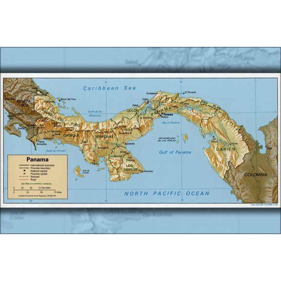 History Galore Map of Panama 1995 24"x36" Poster$52.95current price $52.95
Topographical Map - Grand Teton National Park Wyoming Sheet - USGS 1948 - Vintage Wall Art
 Topographical Map - Grand Teton National Park Wyoming Sheet - USGS 1948 - Vintage Wall Art$45.95current price $45.95
Great BIG Canvas | Rolled Michael Tompsett Poster Print entitled New Orleans Street Map
Great BIG Canvas | Rolled Michael Tompsett Poster Print entitled New Orleans Street Map
Kenai Fjords National Park Vintage Travel Poster / Postcard WPA Style Retro Alaska
 Kenai Fjords National Park Vintage Travel Poster / Postcard WPA Style Retro Alaska$5.99current price $5.99
State of Maine Wildlife Map - New England - Vintage Pictorial Map by J.G. Shelley & Louis Koster c.1950s - Master Art Print (Unframed) 9in x 12in
 State of Maine Wildlife Map - New England - Vintage Pictorial Map by J.G. Shelley & Louis Koster c.1950s - Master Art Print (Unframed) 9in x 12in$14.98current price $14.98
1980 Diego Garcia Map - Vintage Diego Garcia Map - Old Diego Garcia Map - History Map of Diego Garcia Island British Indian Ocean Territory Wall Art Poster Print
 1980 Diego Garcia Map - Vintage Diego Garcia Map - Old Diego Garcia Map - History Map of Diego Garcia Island British Indian Ocean Territory Wall Art Poster Print$39.99current price $39.99
New York City - Travel by Boat (Par La Transat) - Vintage Travel Poster by Albert Brenet c.1950s - Bamboo Fine Art 290gsm Paper (Unframed) 17x22in
 New York City - Travel by Boat (Par La Transat) - Vintage Travel Poster by Albert Brenet c.1950s - Bamboo Fine Art 290gsm Paper (Unframed) 17x22in$49.98current price $49.98