
Hero image 0 of Historic State Map - United States Northeastern - Thomson 1817 - Vintage Wall Art, 0 of 4
Historic State Map - United States Northeastern - Thomson 1817 - Vintage Wall Art
(No ratings yet)
Historic State Map - United States Northeastern - Thomson 1817 - Vintage Wall ArtHistoric State Map United States Northeastern Thomson 1817 23 x 29 03 Vintage Wall ArtHistoric State Map United States Northeastern Thomson 1817 23 x 29 03 Vintage Wall ArtHistoric State Map United States Northeastern Thomson 1817 Vintage Wall ArtHistoric State Map United States Northeastern Thomson 1817 Vintage Wall Art
Material:Glossy Photo
Size:23.00 x 29.03
Key item features
- BEAUTIFUL MAPS OF THE UNITED STATES - At Maps of the Past, we have all different types of US maps. From topographical to natural resources, we have exactly the type of US map you are looking for. Check out all of the different types of US maps that we have to offer. Easily find the one that is right for your needs.
- A UNITED STATES MAP FOR EVERY NEED - At Maps of the Past, we carry a variety of US maps. From exports and natural resources, to mines and railroads. We have maps of the US that cover any need. Check our wide selection of United States maps!
- ONLY ACCEPT THE BEST PRINT QUALITY FOR YOUR REPRODUCTIONS - There are many printers and print types available on the market, when purchasing a reproduction there is no finer quality reproduction than a reproduction using the Giclee Printing method. Giclee describes the technique or style of printing used, and it is revered as the highest quality printing because of the way it precisely sprays ink onto a surface. Trust nothing less than the best!
- GUARANTEED TO GET EXACTLY WHAT YOU ORDERED - All of our maps come rolled, wrapped, and shipped in a heavy gauge mailing tube to ensure it arrives intact.
- WHY CHOOSE MAPS OF THE PAST? - Maps of the Past is one of the single largest producers of different types of maps. They legally own the rights to the maps they sell, and provide them to you in clean, clear, and vibrant print. If you are looking for a high quality map print, then look no further than Maps of the Past!
Specs
- ColorMulticolor
- Decor styleIndustrial
- ThemeOld State Maps
- FramedN
- ShapeRectangle
- Art typePhotography
Current price is USD$40.95
Price when purchased online
- Free shipping
 Free 30-day returns
How do you want your item?
Columbus, 43215
Arrives between May 2 - May 4
|Sold and shipped by Maps of the Past
4.363636363636363 stars out of 5, based on 11 seller reviews(4.4)11 seller reviews
Free 30-day returns
About this item
Product details
Old State Map - Northeastern United States - Thomson 1817 - This is an exquisite full-color Reproduction printed on gloss paper or art paper.
Sites and Townships Specific To This Map Are: Warren, Portland, Rutland, Rotterdam, Boston, New York, Chambersburg, Baltimore, Philadelphia, Dover, and others.
The following towns are featured: an Interesting map of the Northeastern part of the United States, bounded by New England, New York, Pennsylvania, Virginia, Delaware, Maryland, and New Jersey. Indiana appears in northern Virginia. Connecticurt reserve appears on the Cayahoga River. The shapes of Vermont and Rhode Island are very odd. A number of forts are shown south of Lake Erie and Lake Ontario. The Township of the Six Nations is shown north of Lake Erie. A distorted District of Main is shown, with little exploration into its northern interior. A decorative vignette of Niagara Falls is also shown.
This Map is Situated in: Northeast United States.
SKU: USNO0001
Original Maps are often difficult to find and usually have fold lines, identifying stamps or markings, tears, ragged edges, and assorted other natural signs of age that detract from their beauty. All of our maps have been professionally restored to depict their original beauty, while keeping all historical data intact.
These maps are fabulous pieces of history full of information useful to Historians, Genealogists, Cartographers, Relic Hunters, & Others. They make fascinating conversation pieces and splendid works of art for the home or office.
- BEAUTIFUL MAPS OF THE UNITED STATES - At Maps of the Past, we have all different types of US maps. From topographical to natural resources, we have exactly the type of US map you are looking for. Check out all of the different types of US maps that we have to offer. Easily find the one that is right for your needs.
- A UNITED STATES MAP FOR EVERY NEED - At Maps of the Past, we carry a variety of US maps. From exports and natural resources, to mines and railroads. We have maps of the US that cover any need. Check our wide selection of United States maps!
- ONLY ACCEPT THE BEST PRINT QUALITY FOR YOUR REPRODUCTIONS - There are many printers and print types available on the market, when purchasing a reproduction there is no finer quality reproduction than a reproduction using the Giclee Printing method. Giclee describes the technique or style of printing used, and it is revered as the highest quality printing because of the way it precisely sprays ink onto a surface. Trust nothing less than the best!
- GUARANTEED TO GET EXACTLY WHAT YOU ORDERED - All of our maps come rolled, wrapped, and shipped in a heavy gauge mailing tube to ensure it arrives intact.
- WHY CHOOSE MAPS OF THE PAST? - Maps of the Past is one of the single largest producers of different types of maps. They legally own the rights to the maps they sell, and provide them to you in clean, clear, and vibrant print. If you are looking for a high quality map print, then look no further than Maps of the Past!
info:
We aim to show you accurate product information. Manufacturers, suppliers and others provide what you see here, and we have not verified it.
Specifications
Color
Multicolor
Decor style
Industrial
Theme
Old State Maps
Framed
N
Warranty
Warranty information
Please be aware that the warranty terms on items offered for sale by third party Marketplace sellers may differ from those displayed in this section (if any). To confirm warranty terms on an item offered for sale by a third party Marketplace seller, please use the 'Contact seller' feature on the third party Marketplace seller's information page and request the item's warranty terms prior to purchase.
Similar items you might like
Based on what customers bought
Historic State Map - New Hampshire - Lewis 1794 - 23 x 35.31 - Vintage Wall Art $40.95
 $4095current price $40.95
Historic State Map - New Hampshire - Lewis 1794 - 23 x 35.31 - Vintage Wall Art
Historic State Map - Alaska - Millroy 1897 - 30.52 x 23 - Vintage Wall Art $45.95 Was $74.95
 $4595current price $45.95, Was $74.95$74.95
Historic State Map - Alaska - Millroy 1897 - 30.52 x 23 - Vintage Wall Art
Historic State Map - Colorado - Hoen 1896 - 29.61 x 23 - Vintage Wall Art $45.95 Was $74.95 $45.95/count
 $4595current price $45.95, Was $74.95$74.95$45.95/count
Historic State Map - Colorado - Hoen 1896 - 29.61 x 23 - Vintage Wall Art
Historic State Map - Wyoming - Cram 1892 - Vintage Wall Art $36.95
 $3695current price $36.95
Historic State Map - Wyoming - Cram 1892 - Vintage Wall Art
Historic State Map - United States Time Divisions - Cram 1888 - 28.74 x 23 - Vintage Wall Art $45.95
 $4595current price $45.95
Historic State Map - United States Time Divisions - Cram 1888 - 28.74 x 23 - Vintage Wall Art
Stupell Industries Pastel Whimsical Landscapes Transportation Painting Unframed Art Print Wall Art, 12 x 12, Set of 4 $117.99
 $11799current price $117.99
Stupell Industries Pastel Whimsical Landscapes Transportation Painting Unframed Art Print Wall Art, 12 x 12, Set of 4
Historic State Map - New Mexico - Alden 1886 - 23 x 34.18 - Vintage Wall Art $40.95 $40.95/count
 $4095current price $40.95$40.95/count
Historic State Map - New Mexico - Alden 1886 - 23 x 34.18 - Vintage Wall Art
Historic State Map - Montana - Cram 1888 - 33.90 x 23 - Vintage Wall Art $40.95 $40.95/count
 $4095current price $40.95$40.95/count
Historic State Map - Montana - Cram 1888 - 33.90 x 23 - Vintage Wall Art
Historic State Map - New Hampshire - Sotzmann 1796 - 23 x 32.60 - Vintage Wall Art $45.95 $45.95/count
 $4595current price $45.95$45.95/count
Historic State Map - New Hampshire - Sotzmann 1796 - 23 x 32.60 - Vintage Wall Art
Historic State Map - Indiana - Johnson 1888 - 23 x 27.49 - Vintage Wall Art $45.95 $45.95/count
 $4595current price $45.95$45.95/count
Historic State Map - Indiana - Johnson 1888 - 23 x 27.49 - Vintage Wall Art
Stupell Industries Flushed Pink Florals Plants & Flowers Painting Unframed Art Print Wall Art, 10 x 15, Set of 4 $117.99
 2 optionsAvailable in additional 2 options$11799current price $117.99
Stupell Industries Flushed Pink Florals Plants & Flowers Painting Unframed Art Print Wall Art, 10 x 15, Set of 4
Historic State Map - Washington - Johnson 1888 - 28.81 x 23 - Vintage Wall Art $40.95
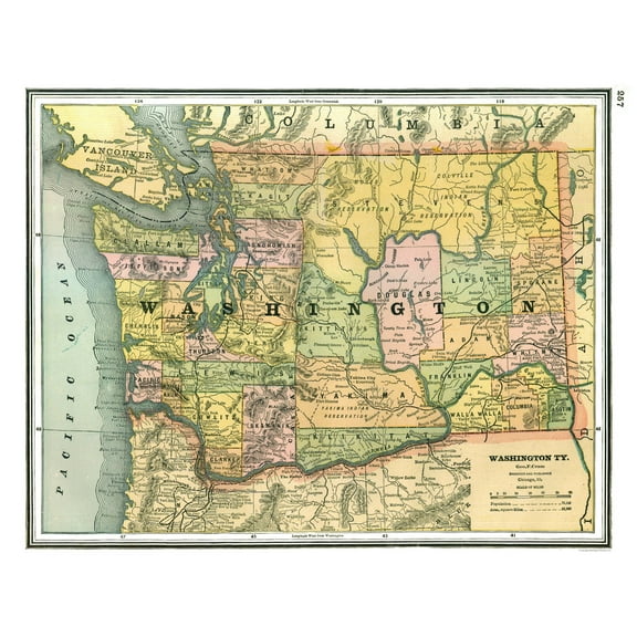 $4095current price $40.95
Historic State Map - Washington - Johnson 1888 - 28.81 x 23 - Vintage Wall Art
Historic State Map - Idaho - Reynold 1921 - Vintage Wall Art $36.95
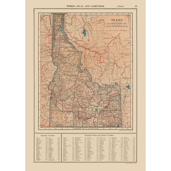 $3695current price $36.95
Historic State Map - Idaho - Reynold 1921 - Vintage Wall Art
Historic State Map - Virginia - Alden 1886 - 35.57 x 23 - Vintage Wall Art $40.95
 $4095current price $40.95
Historic State Map - Virginia - Alden 1886 - 35.57 x 23 - Vintage Wall Art
Stupell Industries Pinecone Latin Studies Plants & Flowers Painting Unframed Art Print Wall Art, 10 x 15, Set of 4 $117.99
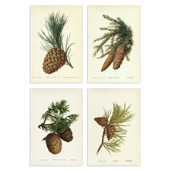 2 optionsAvailable in additional 2 options$11799current price $117.99
Stupell Industries Pinecone Latin Studies Plants & Flowers Painting Unframed Art Print Wall Art, 10 x 15, Set of 4
Stupell Industries Minimal Shells & Anchor Nautical & Beach Painting Unframed Art Print Wall Art, 11 x 14, Set of 4 $117.99
 $11799current price $117.99
Stupell Industries Minimal Shells & Anchor Nautical & Beach Painting Unframed Art Print Wall Art, 11 x 14, Set of 4
Historic State Map - Nebraska - Hoen 1896 - 39.07 x 23 - Vintage Wall Art $40.95
 $4095current price $40.95
Historic State Map - Nebraska - Hoen 1896 - 39.07 x 23 - Vintage Wall Art
Historic State Map - Hawaii - Linton 1893 - Vintage Wall Art $36.95
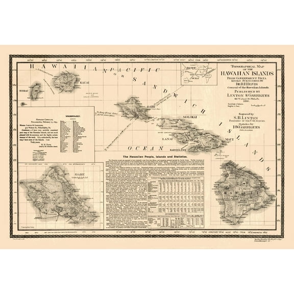 $3695current price $36.95
Historic State Map - Hawaii - Linton 1893 - Vintage Wall Art
Historic State Map - Mississippi - Cram 1892 - 23 x 28.80 - Vintage Wall Art $40.95
 $4095current price $40.95
Historic State Map - Mississippi - Cram 1892 - 23 x 28.80 - Vintage Wall Art
Historic Map - United States Western - Bartholomew 1892 - 23 x 30.04 - Vintage Wall Art $45.95
 $4595current price $45.95
Historic Map - United States Western - Bartholomew 1892 - 23 x 30.04 - Vintage Wall Art
Customer ratings & reviews
0 ratings|0 reviews
This item does not have any reviews yet
