Sort by|
Map Wenatchee(1)
Uses item details. Price when purchased online
Topographical Map - Wenatchee Washington Quad - USGS 1957 - Vintage Wall Art From $36.95

2 options
Available in additional 2 optionsFrom$3695
Topographical Map - Wenatchee Washington Quad - USGS 1957 - Vintage Wall Art
Other options to consider(55)
Best seller 24x36 World and USA Classic Premier 3D Two Wall Map Set From $19.98

2 options
Available in additional 2 optionsFrom$1998
24x36 World and USA Classic Premier 3D Two Wall Map Set
754.8 out of 5 Stars. 75 reviews
Best seller Swiftmaps Laminated RMC Classic Edition World Wall Map Poster, 50" x 32" $19.99

$1999
current price $19.99Swiftmaps Laminated RMC Classic Edition World Wall Map Poster, 50" x 32"
414.5 out of 5 Stars. 41 reviews
Save with
Michael Tompsett 'South America Watercolor Map' Canvas Art

Michael Tompsett 'South America Watercolor Map' Canvas Art
Save with
Trademark Fine Art "Wisconsin Map" Canvas Art by Michael Tompsett From $32.95

4 options
Available in additional 4 optionsFrom$3295
Trademark Fine Art "Wisconsin Map" Canvas Art by Michael Tompsett
Best seller 24x36 World Classic Premier 3D Wall Map Poster Paper Folded From $12.99

4 options
Available in additional 4 optionsFrom$1299
24x36 World Classic Premier 3D Wall Map Poster Paper Folded
1554.5 out of 5 Stars. 155 reviews


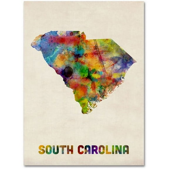
Trademark Fine Art "South Carolina Map" Canvas Wall Art by Michael Tompsett From $29.10
3 options
Available in additional 3 optionsFrom$2910
Trademark Fine Art "South Carolina Map" Canvas Wall Art by Michael Tompsett
Save with


Topographical Map - Cowee North Carolina Sheet - USGS 1886 - Vintage Wall Art From $36.95

2 options
Available in additional 2 optionsFrom$3695
Topographical Map - Cowee North Carolina Sheet - USGS 1886 - Vintage Wall Art
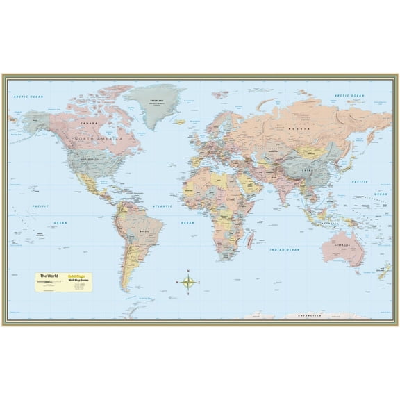
World Map Poster (32 X 50 Inches) - Laminated: A Quickstudy Reference Tool (First Edition, New Edition, Updated & Revised) (Other) $17.35
$1735
current price $17.35World Map Poster (32 X 50 Inches) - Laminated: A Quickstudy Reference Tool (First Edition, New Edition, Updated & Revised) (Other)
Trademark Fine Art "Wisconsin Map" Canvas Wall Art by Michael Tompsett $82.99

$8299
current price $82.99Trademark Fine Art "Wisconsin Map" Canvas Wall Art by Michael Tompsett
Save with
Historic Print, WI Milwaukee 1906 MAP, 16" x 20" From $57.00

2 options
Available in additional 2 optionsFrom$5700
Historic Print, WI Milwaukee 1906 MAP, 16" x 20"
Topographical Map - Michigan Wisconsin - Endicott 1855 - Vintage Wall Art From $36.95

2 options
Available in additional 2 optionsFrom$3695
Topographical Map - Michigan Wisconsin - Endicott 1855 - Vintage Wall Art
HISTORIX 1872 Milwaukee Wisconsin Map Poster Wall Art Print, 18 x 24 Inch From $39.99

2 options
Available in additional 2 optionsFrom$3999
HISTORIX 1872 Milwaukee Wisconsin Map Poster Wall Art Print, 18 x 24 Inch
Trademark Fine Art "Wisconsin Map" Matted Framed Art by Michael Tompsett, Black Frame

Trademark Fine Art "Wisconsin Map" Matted Framed Art by Michael Tompsett, Black Frame
Save with
Trademark Fine Art "Michigan Map" Canvas Wall Art by Michael Tompsett

Trademark Fine Art "Michigan Map" Canvas Wall Art by Michael Tompsett
Save with
Trademark Fine Art Michael Tompsett Michigan Map Canvas Wall Art - 14x19 From $32.95

4 options
Available in additional 4 optionsFrom$3295
Trademark Fine Art Michael Tompsett Michigan Map Canvas Wall Art - 14x19
Michael Tompsett 'South Carolina Map' Canvas Art

Michael Tompsett 'South Carolina Map' Canvas Art
Save with
Florida Wisconsin Map Canvas Wall Art 8x12 inch – Florida Wisconsin Map Watercolor Canvas Wall Art – Minimalist Travel Inspired Home Decor


Florida Wisconsin Map Canvas Wall Art 8x12 inch – Florida Wisconsin Map Watercolor Canvas Wall Art – Minimalist Travel Inspired Home Decor
Trademark Fine Art "Wisconsin Map" Canvas Wall Art by Michael Tompsett From $28.99

3 options
Available in additional 3 optionsFrom$2899
Trademark Fine Art "Wisconsin Map" Canvas Wall Art by Michael Tompsett
Save with
Trademark Fine Art "Michigan Map" Canvas Wall Art by Michael Tompsett $29.99
$2999
current price $29.99Trademark Fine Art "Michigan Map" Canvas Wall Art by Michael Tompsett
Save with
HISTORIX 1896 Wyandotte Michigan Vintage Map Poster Wall Art Print, 18 x 24 Inch From $39.99

2 options
Available in additional 2 optionsFrom$3999
HISTORIX 1896 Wyandotte Michigan Vintage Map Poster Wall Art Print, 18 x 24 Inch
24"x36" Gallery Poster, map earthworks Morris Island South carolina 1863 $52.95

$5295
current price $52.9524"x36" Gallery Poster, map earthworks Morris Island South carolina 1863
Wisconsin State Map and Landmarks Collage Fridge Souvenir Collectible Magnet FMC $10.45

$1045
current price $10.45Wisconsin State Map and Landmarks Collage Fridge Souvenir Collectible Magnet FMC
15 out of 5 Stars. 1 reviews
Historic State Map - Michigan Saginaw Lake Lake Erie - Hoen 1896 - Vintage Wall Art From $36.95

2 options
Available in additional 2 optionsFrom$3695
Historic State Map - Michigan Saginaw Lake Lake Erie - Hoen 1896 - Vintage Wall Art
Historic County Map - Waupaca County Wisconsin - Snyder 1877 - Vintage Wall Art From $36.95

2 options
Available in additional 2 optionsFrom$3695
Historic County Map - Waupaca County Wisconsin - Snyder 1877 - Vintage Wall Art
Trademark Fine Art "Michigan Map" Canvas Wall Art by Michael Tompsett $45.99
$4599
current price $45.99Trademark Fine Art "Michigan Map" Canvas Wall Art by Michael Tompsett
Save with
Trademark Fine Art 'Wisconsin State Map' Canvas Art by Lanre Adefioye From $28.15

4 options
Available in additional 4 optionsFrom$2815
Trademark Fine Art 'Wisconsin State Map' Canvas Art by Lanre Adefioye
Save with
Vintage 1851 Wisconsin Map Poster Vintage Map of Wisconsin Wall Art - Old Wisconsin Map Art - Township Map of Wisconsin Poster - Wisconsin Artwork - Wisconsin Print From $17.51

2 options
Available in additional 2 optionsFrom$1751
Vintage 1851 Wisconsin Map Poster Vintage Map of Wisconsin Wall Art - Old Wisconsin Map Art - Township Map of Wisconsin Poster - Wisconsin Artwork - Wisconsin Print
Historic County Map - Shiawassee County Michigan - Walling 1873 - Vintage Wall Art From $36.95

2 options
Available in additional 2 optionsFrom$3695
Historic County Map - Shiawassee County Michigan - Walling 1873 - Vintage Wall Art
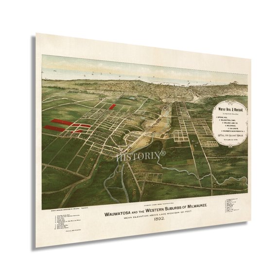
HISTORIX 1892 Wauwatosa & Western Suburbs of Milwaukee Wisconsin Map Vintage Poster Wall Art Print, 18 x 24 Inch From $39.99
2 options
Available in additional 2 optionsFrom$3999
HISTORIX 1892 Wauwatosa & Western Suburbs of Milwaukee Wisconsin Map Vintage Poster Wall Art Print, 18 x 24 Inch
Historic Framed Print, WI Milwaukee 1906 MAP, 17-7/8" x 21-7/8" $298.00

$29800
current price $298.00Historic Framed Print, WI Milwaukee 1906 MAP, 17-7/8" x 21-7/8"
Historical Civil War Map - Chattanooga Atlanta Campaigns - Bien 1894 - Vintage Wall Art From $36.95

2 options
Available in additional 2 optionsFrom$3695
Historical Civil War Map - Chattanooga Atlanta Campaigns - Bien 1894 - Vintage Wall Art
Canvas 24x36; Heezen-Tharp World Ocean Floor Map By Berann 1977 $159.95

$15995
current price $159.95Canvas 24x36; Heezen-Tharp World Ocean Floor Map By Berann 1977
Historic State Map - West Florida - Kitchin 1781 - Vintage Wall Art From $36.95

2 options
Available in additional 2 optionsFrom$3695
Historic State Map - West Florida - Kitchin 1781 - Vintage Wall Art
Historic State Map - Michigan Saginaw Mackinac Road Survey - Poole 1835 - Vintage Wall Art From $36.95

2 options
Available in additional 2 optionsFrom$3695
Historic State Map - Michigan Saginaw Mackinac Road Survey - Poole 1835 - Vintage Wall Art
Trademark Fine Art 'Milwaukee Wisconsin City Map Blue Yellow' Canvas Art by Michael Tompsett From $36.99

3 options
Available in additional 3 optionsFrom$3699
Trademark Fine Art 'Milwaukee Wisconsin City Map Blue Yellow' Canvas Art by Michael Tompsett
Save with
Trademark Fine Art 'Old Sheet Music Map of Wisconsin' Canvas Art by Michael Tompsett, White Matte, Wood Frame From $28.49

2 options
Available in additional 2 optionsFrom$2849
Trademark Fine Art 'Old Sheet Music Map of Wisconsin' Canvas Art by Michael Tompsett, White Matte, Wood Frame
Save with
Historic County Map - Manitowoc County Wisconsin - Snyder 1878 - Vintage Wall Art From $36.95

2 options
Available in additional 2 optionsFrom$3695
Historic County Map - Manitowoc County Wisconsin - Snyder 1878 - Vintage Wall Art
Popular in Map Wenatchee
- Map Florida County
- Florida Map Orlando
- Map Utah Counties
- Florida Map By County
- Oregon Map By County
- North Georgia Map
- National Parks Posters
- Central America Travel Books, Maps & Guides
- Northeast United States Travel Books, Maps & Guides
- General South America Travel Books, Maps & Guides
- Ontario Travel Books, Maps & Guides
- Cyprus Travel Books
Related Products
Historic Print, NJ Absecon 1924 MAP, 18" x 24"
 Historic Print, NJ Absecon 1924 MAP, 18" x 24"$71.00current price $71.00
Historic Print, CT New Haven 1879 MAP, 18" x 24"
 Historic Print, CT New Haven 1879 MAP, 18" x 24"$71.00current price $71.00
Acadia Travel Print, Travel Poster of Acadia National Park, Maine, USA, Acadia Travel Gift, 16x24 UNFRAMED
 Acadia Travel Print, Travel Poster of Acadia National Park, Maine, USA, Acadia Travel Gift, 16x24 UNFRAMED$28.49current price $28.49
Historic Print, NY Lowville 1885 MAP, 18" x 24"
 Historic Print, NY Lowville 1885 MAP, 18" x 24"$71.00current price $71.00
Historic Print, WV Berkeley Springs 1889 MAP, 18" x 24"
 Historic Print, WV Berkeley Springs 1889 MAP, 18" x 24"$71.00current price $71.00
Historic Print, PA Duncannon 1903 MAP, 18" x 24"
 Historic Print, PA Duncannon 1903 MAP, 18" x 24"$71.00current price $71.00
Topographical Map - Mt St Helens Ranger District Washington Quad - USDA 1967 - Vintage Wall Art
 Topographical Map - Mt St Helens Ranger District Washington Quad - USDA 1967 - Vintage Wall Art$45.95current price $45.95
Historic State Map - Washington Coast Vancouver Island - Beques 1791 - Vintage Wall Art
 Historic State Map - Washington Coast Vancouver Island - Beques 1791 - Vintage Wall Art$45.95current price $45.95
Historic Print, NJ Dover 1903 MAP, 18" x 24"
 Historic Print, NJ Dover 1903 MAP, 18" x 24"$71.00current price $71.00
Topographical Map - Ontario Vicinity California - USGS 1942 - Vintage Wall Art
 Topographical Map - Ontario Vicinity California - USGS 1942 - Vintage Wall Art$40.95current price $40.95
Topographical Map - Bakersfield California - USGS 1906 - Vintage Wall Art
 Topographical Map - Bakersfield California - USGS 1906 - Vintage Wall Art$40.95current price $40.95
HISTORIX 1914 Map of Alaska Vintage Poster Wall Art Print, 18 x 24 Inch
 HISTORIX 1914 Map of Alaska Vintage Poster Wall Art Print, 18 x 24 Inch$39.99current price $39.99
1869 Columbia Missouri Map Poster - History Map of Columbia Wall Art - Old Map of Columbia Boone County MO
 1869 Columbia Missouri Map Poster - History Map of Columbia Wall Art - Old Map of Columbia Boone County MO$54.99current price $54.99
Topographical Map - Newburg New York Quad - USGS 1903 - Vintage Wall Art
 Topographical Map - Newburg New York Quad - USGS 1903 - Vintage Wall Art$40.95current price $40.95
Topographical Map - Ft Collins Colorado Quad - USGS 1984 - Vintage Wall Art
 Topographical Map - Ft Collins Colorado Quad - USGS 1984 - Vintage Wall Art$40.95current price $40.95
1856 Florida State Wall Map - Vintage Map Wall Art - Vintage Florida Map Poster Showing Cities, Towns, Roads, Trails and Railroad Lines - Vintage Florida Poster
 1856 Florida State Wall Map - Vintage Map Wall Art - Vintage Florida Map Poster Showing Cities, Towns, Roads, Trails and Railroad Lines - Vintage Florida Poster$37.99current price $37.99