
Hero image 0 of Historic State Map - Indian Territory Oklahoma - Cram 1888 - 28.29 x 23 - Vintage Wall Art, 0 of 5
Historic State Map - Indian Territory Oklahoma - Cram 1888 - 28.29 x 23 - Vintage Wall Art
(No ratings yet)
Historic State Map - Indian Territory Oklahoma - Cram 1888 - 28.29 x 23 - Vintage Wall ArtHistoric State Map Indian Territory Oklahoma Cram 1888 28 29 x 23 Vintage Wall ArtIndian Territory Oklahoma Cram 1888 23 00 x 28 29 Glossy Satin PaperHistoric State Map Indian Territory Oklahoma Cram 1888 28 29 x 23 Vintage Wall Art
Key item features
- OWN A STATE MAP TODAY - If you are looking for a map of your state, or another specific state, to frame and hang on your wall, then look no further! Our state maps are also great for school projects. Our maps have a variety of uses, and they come in a variety of styles. We have every state map you could need!
- STATE MAPS PROVIDE IMPORTANT INFORMATION - State maps not only show you how the different counties and/or cities are divided up and where the borders can be found within a state, but it also highlights rivers, mountains, and other natural elements. Some of them may also provide
- ONLY ACCEPT THE BEST PRINT QUALITY FOR YOUR REPRODUCTIONS - There are many printers and print types available on the market, when purchasing a reproduction there is no finer quality reproduction than a reproduction using the Giclee Printing method. Giclee describes the technique or style of printing used, and it is revered as the highest quality printing because of the way it precisely sprays ink onto a surface. Trust nothing less than the best!
- GUARNANTEED TO GET EXACTLY WHAT YOU ORDERED - This map comes exactly to the specification of 23.00 x 28.29 inches/58.42 X 71.85 cm. All of our maps come rolled, wrapped, and shipped in a heavy gauge mailing tube to ensure it arrives intact.
- WHY CHOOSE MAPS OF THE PAST? - Maps of the Past is one of the single largest producers of different types of maps. They legally own the rights to the maps they sell, and provide them to you in clean, clear, and vibrant print. If you are looking for a high quality map print, then look no further than Maps of the Past!
Specs
- Size23.00 x 28.29
- MaterialMatte Canvas
- Decor styleVintage
- ThemeOld State Maps
- ShapeRectangle
- Rec. roomBathroom, Dining Room, Kids Room, Entryway, Office, Bedroom, Kitchen, Living Room
Price when purchased online
Not Available
How do you want your item?
Not available
About this item
Product details
Old State Maps - Indian Territory - Cram's Atlas 1888 - This is an exquisite full-color Reproduction printed on high-quality gloss paper, art paper or canvas.
Print Size: 23.00 x 28.29 inches
58.42 X 71.85cm
The following towns are featured: Fort Reno, Oklahoma City, Kickapoo Town, Barrol Spring, Tahlequah, Riddells, Lapita, Colbert, Tulip, Albion.
This Map is Situated in: Indian Territory.
SKU: USIN0013
Original Maps are often difficult to find and usually have fold lines, identifying stamps or markings, tears, ragged edges, and assorted other natural signs of age that detract from their beauty. All of our maps have been professionally restored to depict their original beauty, while keeping all historical data intact.
These maps are fabulous pieces of history full of information useful to Historians, Genealogists, Cartographers, Relic Hunters, & Others. They make fascinating conversation pieces and splendid works of art for the home or office.
- OWN A STATE MAP TODAY - If you are looking for a map of your state, or another specific state, to frame and hang on your wall, then look no further! Our state maps are also great for school projects. Our maps have a variety of uses, and they come in a variety of styles. We have every state map you could need!
- STATE MAPS PROVIDE IMPORTANT INFORMATION - State maps not only show you how the different counties and/or cities are divided up and where the borders can be found within a state, but it also highlights rivers, mountains, and other natural elements. Some of them may also provide
- ONLY ACCEPT THE BEST PRINT QUALITY FOR YOUR REPRODUCTIONS - There are many printers and print types available on the market, when purchasing a reproduction there is no finer quality reproduction than a reproduction using the Giclee Printing method. Giclee describes the technique or style of printing used, and it is revered as the highest quality printing because of the way it precisely sprays ink onto a surface. Trust nothing less than the best!
- GUARNANTEED TO GET EXACTLY WHAT YOU ORDERED - This map comes exactly to the specification of 23.00 x 28.29 inches/58.42 X 71.85 cm. All of our maps come rolled, wrapped, and shipped in a heavy gauge mailing tube to ensure it arrives intact.
- WHY CHOOSE MAPS OF THE PAST? - Maps of the Past is one of the single largest producers of different types of maps. They legally own the rights to the maps they sell, and provide them to you in clean, clear, and vibrant print. If you are looking for a high quality map print, then look no further than Maps of the Past!
info:
We aim to show you accurate product information. Manufacturers, suppliers and others provide what you see here, and we have not verified it.
Specifications
Size
23.00 x 28.29
Material
Matte Canvas
Decor style
Vintage
Theme
Old State Maps
Similar items you might like
Based on what customers bought
Historic State Map - California - Hoen 1896 - Vintage Wall Art $36.95
 4 optionsAvailable in additional 4 options$3695current price $36.95
Historic State Map - California - Hoen 1896 - Vintage Wall Art
Historic State Map - Texas - Mitchell 1874 - 34.15 x 23 - Vintage Wall Art $40.95 $40.95/count
 3 optionsAvailable in additional 3 options$4095current price $40.95$40.95/count
Historic State Map - Texas - Mitchell 1874 - 34.15 x 23 - Vintage Wall Art
Historic State Map - South Carolina - 1900 - 30.94 x 23 - Vintage Wall Art $40.95
 3 optionsAvailable in additional 3 options$4095current price $40.95
Historic State Map - South Carolina - 1900 - 30.94 x 23 - Vintage Wall Art
Historic State Map - Alabama - Cram 1892 - 23 x 30.41 - Vintage Wall Art $40.95
 2 optionsAvailable in additional 2 options$4095current price $40.95
Historic State Map - Alabama - Cram 1892 - 23 x 30.41 - Vintage Wall Art
Historic State Map - United States Territorial Growth - Cram 1892 - 29.26 x 23 - Vintage Wall Art $40.95 $40.95/count
 3 optionsAvailable in additional 3 options$4095current price $40.95$40.95/count
Historic State Map - United States Territorial Growth - Cram 1892 - 29.26 x 23 - Vintage Wall Art
Historic State Map - Virginia - 1918 - 49.39 x 23 - Vintage Wall Art $40.95 $40.95/count
 3 optionsAvailable in additional 3 options$4095current price $40.95$40.95/count
Historic State Map - Virginia - 1918 - 49.39 x 23 - Vintage Wall Art
Historic State Map - New Mexico - Hoen 1896 - 23 x 24.38 - Vintage Wall Art $40.95 $40.95/count
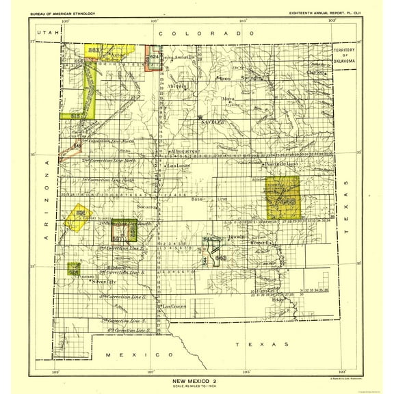 3 optionsAvailable in additional 3 options$4095current price $40.95$40.95/count
Historic State Map - New Mexico - Hoen 1896 - 23 x 24.38 - Vintage Wall Art
Historic State Map - Pennsylvania - Howell 1792 - 37.00 x 23 - Vintage Wall Art $40.95
 3 optionsAvailable in additional 3 options$4095current price $40.95
Historic State Map - Pennsylvania - Howell 1792 - 37.00 x 23 - Vintage Wall Art
Historic State Map - Florida - Johnson 1888 - 23 x 30.62 - Vintage Wall Art $40.95
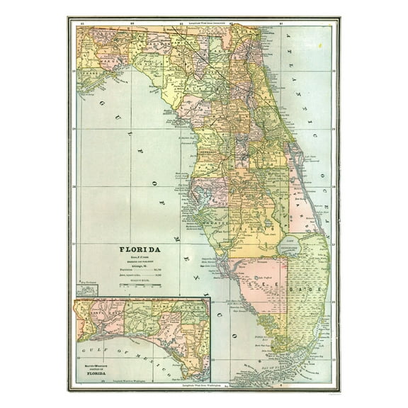 2 optionsAvailable in additional 2 options$4095current price $40.95
Historic State Map - Florida - Johnson 1888 - 23 x 30.62 - Vintage Wall Art
Historic State Map - Pennsylvania - Hammond 1910 - 29.30 x 23 - Vintage Wall Art $40.95 $40.95/count
 3 optionsAvailable in additional 3 options$4095current price $40.95$40.95/count
Historic State Map - Pennsylvania - Hammond 1910 - 29.30 x 23 - Vintage Wall Art
Historic State Map - Maryland - Alden 1886 - 35.81 x 23 - Vintage Wall Art $40.95
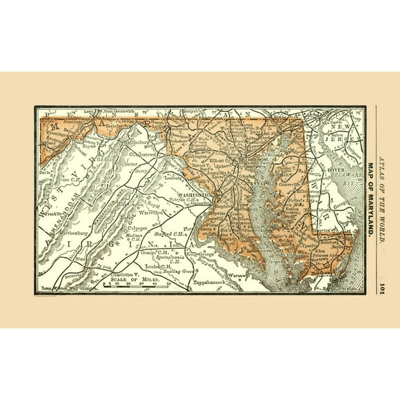 3 optionsAvailable in additional 3 options$4095current price $40.95
Historic State Map - Maryland - Alden 1886 - 35.81 x 23 - Vintage Wall Art
Historic State Map - Western States - Monteith 1882 - 29.15 x 23 - Vintage Wall Art $40.95
 3 optionsAvailable in additional 3 options$4095current price $40.95
Historic State Map - Western States - Monteith 1882 - 29.15 x 23 - Vintage Wall Art
Historic State Map - New Hampshire - Carter 1878 - 23 x 41.60 - Vintage Wall Art $40.95 $40.95/count
 3 optionsAvailable in additional 3 options$4095current price $40.95$40.95/count
Historic State Map - New Hampshire - Carter 1878 - 23 x 41.60 - Vintage Wall Art
Historic State Map - Michigan - Reynold 1921 - 23 x 32.50 - Vintage Wall Art $40.95 $40.95/count
 2 optionsAvailable in additional 2 options$4095current price $40.95$40.95/count
Historic State Map - Michigan - Reynold 1921 - 23 x 32.50 - Vintage Wall Art
Historic State Map - Missouri - Johnson 1888 - 27.79 x 23 - Vintage Wall Art $40.95 $40.95/count
 3 optionsAvailable in additional 3 options$4095current price $40.95$40.95/count
Historic State Map - Missouri - Johnson 1888 - 27.79 x 23 - Vintage Wall Art
Historic State Map - Minnesota - Reynold 1921 - 23 x 32.37 - Vintage Wall Art $40.95
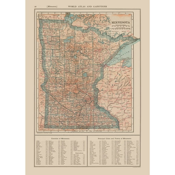 $4095current price $40.95
Historic State Map - Minnesota - Reynold 1921 - 23 x 32.37 - Vintage Wall Art
Historic State Map - Maine - Cram 1892 - 23 x 29.86 - Vintage Wall Art $40.95
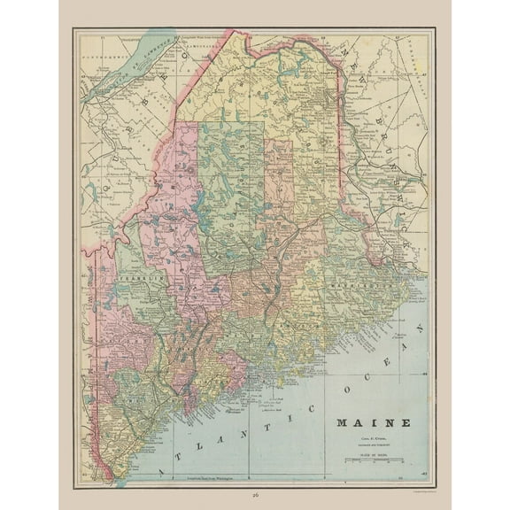 3 optionsAvailable in additional 3 options$4095current price $40.95
Historic State Map - Maine - Cram 1892 - 23 x 29.86 - Vintage Wall Art
Historic State Map - North Carolina - Reynold 1921 - 31.67 x 23 - Vintage Wall Art $40.95
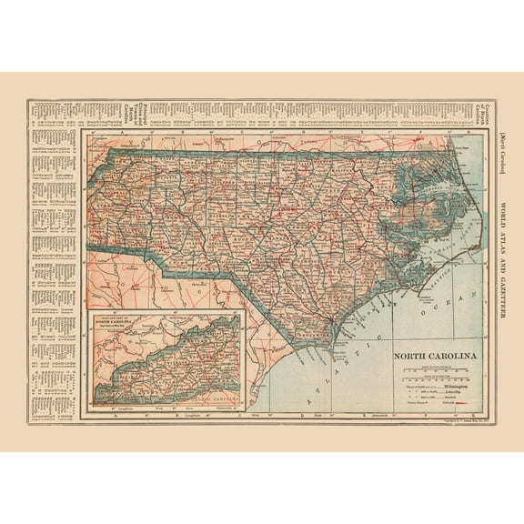 3 optionsAvailable in additional 3 options$4095current price $40.95
Historic State Map - North Carolina - Reynold 1921 - 31.67 x 23 - Vintage Wall Art
Historic State Map - New York - Reynold 1921 - 32.53 x 23 - Vintage Wall Art $40.95
 3 optionsAvailable in additional 3 options$4095current price $40.95
Historic State Map - New York - Reynold 1921 - 32.53 x 23 - Vintage Wall Art
Historic State Map - Utah - Hoen 1896 - 23 x 28.10 - Vintage Wall Art $40.95
 3 optionsAvailable in additional 3 options$4095current price $40.95
Historic State Map - Utah - Hoen 1896 - 23 x 28.10 - Vintage Wall Art
Customer ratings & reviews
0 ratings|0 reviews
This item does not have any reviews yet

Related pages
- Harpers Ferry Map
- Perito Moreno Glacier Map
- Galveston Texas Map
- Texas Map Rivers
- Houston Texas Map
- Oklahoma Indian Territory Map
- National Parks Posters
- Cyprus Travel Books
- Central America Travel Books, Maps & Guides
- Caribbean & West Indies Travel Books, Maps & Guides
- Ontario Travel Books, Maps & Guides
- Iceland & Greenland Travel Books