
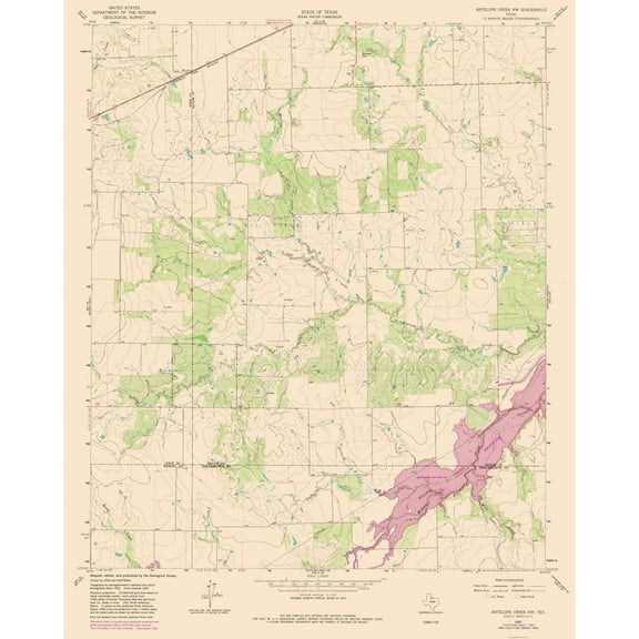
Hero image 0 of Topographical Map - Antelope Creek Texas South West Quad - USGS 1962 - 23 x 28.11 - Vintage Wall Art, 0 of 5
Topographical Map - Antelope Creek Texas South West Quad - USGS 1962 - 23 x 28.11 - Vintage Wall Art
(No ratings yet)
Topographical Map - Antelope Creek Texas South West Quad - USGS 1962 - 23 x 28.11 - Vintage Wall ArtTopographical Map Antelope Creek Texas South West Quad USGS 1962 23 x 28 11 Vintage Wall ArtTopographical Map Antelope Creek Texas South West Quad USGS 1962 23 x 28 11 Vintage Wall ArtTopographical Map Antelope Creek Texas South West Quad USGS 1962 23 x 28 11 Vintage Wall Art
Key item features
- OWN A HISTORICAL TOPOGRAPHICAL MAP TODAY - Topographical maps provide you a birds-eye view of how the topography of certain pieces of land are mapped out. See how much today's maps have changed from centuries ago. See how waterways have shifted, or how forrests have become thralling cities. See how history has changed the landscape with a topographical map today!
- TOPOGRAPHICAL MAPS PROVIDE IMPORTANT INFORMATION -Topographical maps show you how the borders of a county are established and were they can be found. It also highlights rivers, mountains, and other natural elements, and it will show you where the cities are located within it.
- ONLY ACCEPT THE BEST PRINT QUALITY FOR YOUR REPRODUCTIONS - There are many printers and print types available on the market, when purchasing a reproduction there is no finer quality reproduction than a reproduction using the Giclee Printing method. Giclee describes the technique or style of printing used, and it is revered as the highest quality printing because of the way it precisely sprays ink onto a surface. Trust nothing less than the best!
- GUARNANTEED TO GET EXACTLY WHAT YOU ORDERED - This map comes exactly to the specification of 23.00 x 28.11 inches/58.42 X 71.39 cm. All of our maps come rolled, wrapped, and shipped in a heavy gauge mailing tube to ensure it arrives intact.
- WHY CHOOSE MAPS OF THE PAST? - Maps of the Past is one of the single largest producers of different types of maps. They legally own the rights to the maps they sell, and provide them to you in clean, clear, and vibrant print. If you are looking for a high quality map print, then look no further than Maps of the Past!
Specs
 Size23.00 x 28.11
 BrandMAPS OF THE PAST
 MaterialMatte Canvas
 Age groupAdult
Price when purchased online
Not Available
How do you want your item?
Not available
About this item
Product details
Historical Topographic Maps - South West Antelope Creek Texas Quad - USGS 1962 - This is an exquisite full-color Reproduction printed on high-quality gloss paper, art paper or canvas.
Print Size: 23.00 x 28.11 inches
58.42 X 71.39cm
The following towns are featured: none.
This Map is Situated in: South West Antelope Creek, Texas.
SKU: TXAC0008
Original Maps are often difficult to find and usually have fold lines, identifying stamps or markings, tears, ragged edges, and assorted other natural signs of age that detract from their beauty. All of our maps have been professionally restored to depict their original beauty, while keeping all historical data intact.
These maps are fabulous pieces of history full of information useful to Historians, Genealogists, Cartographers, Relic Hunters, & Others. They make fascinating conversation pieces and splendid works of art for the home or office.
- OWN A HISTORICAL TOPOGRAPHICAL MAP TODAY - Topographical maps provide you a birds-eye view of how the topography of certain pieces of land are mapped out. See how much today's maps have changed from centuries ago. See how waterways have shifted, or how forrests have become thralling cities. See how history has changed the landscape with a topographical map today!
- TOPOGRAPHICAL MAPS PROVIDE IMPORTANT INFORMATION -Topographical maps show you how the borders of a county are established and were they can be found. It also highlights rivers, mountains, and other natural elements, and it will show you where the cities are located within it.
- ONLY ACCEPT THE BEST PRINT QUALITY FOR YOUR REPRODUCTIONS - There are many printers and print types available on the market, when purchasing a reproduction there is no finer quality reproduction than a reproduction using the Giclee Printing method. Giclee describes the technique or style of printing used, and it is revered as the highest quality printing because of the way it precisely sprays ink onto a surface. Trust nothing less than the best!
- GUARNANTEED TO GET EXACTLY WHAT YOU ORDERED - This map comes exactly to the specification of 23.00 x 28.11 inches/58.42 X 71.39 cm. All of our maps come rolled, wrapped, and shipped in a heavy gauge mailing tube to ensure it arrives intact.
- WHY CHOOSE MAPS OF THE PAST? - Maps of the Past is one of the single largest producers of different types of maps. They legally own the rights to the maps they sell, and provide them to you in clean, clear, and vibrant print. If you are looking for a high quality map print, then look no further than Maps of the Past!
info:
We aim to show you accurate product information. Manufacturers, suppliers and others provide what you see here, and we have not verified it.
Specifications
Size
23.00 x 28.11
Brand
MAPS OF THE PAST
Material
Matte Canvas
Age group
Adult
Check out these related products
Topographical Map - Antelope Creek Texas South East Quad - USGS 1962 - 23 x 28.56 - Vintage Wall Art $40.95 $40.95/count
 $4095current price $40.95$40.95/count
Topographical Map - Antelope Creek Texas South East Quad - USGS 1962 - 23 x 28.56 - Vintage Wall Art
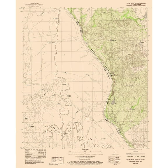
Topographical Map - West Tovar Creek Texas Quad - USGS 1983 - 23 x 28.31 - Vintage Wall Art $40.95 $40.95/count
 3 optionsAvailable in additional 3 options$4095current price $40.95$40.95/count
Topographical Map - West Tovar Creek Texas Quad - USGS 1983 - 23 x 28.31 - Vintage Wall Art
Topographical Map - East Tovar Creek Texas Quad - USGS 1982 - 23 x 27.43 - Vintage Wall Art $40.95
 3 optionsAvailable in additional 3 options$4095current price $40.95
Topographical Map - East Tovar Creek Texas Quad - USGS 1982 - 23 x 27.43 - Vintage Wall Art
Topographical Map - Antelope Creek Texas North West Quad - USGS 1962 - 23 x 28.71 - Vintage Wall Art $40.95 $40.95/count
 $4095current price $40.95$40.95/count
Topographical Map - Antelope Creek Texas North West Quad - USGS 1962 - 23 x 28.71 - Vintage Wall Art
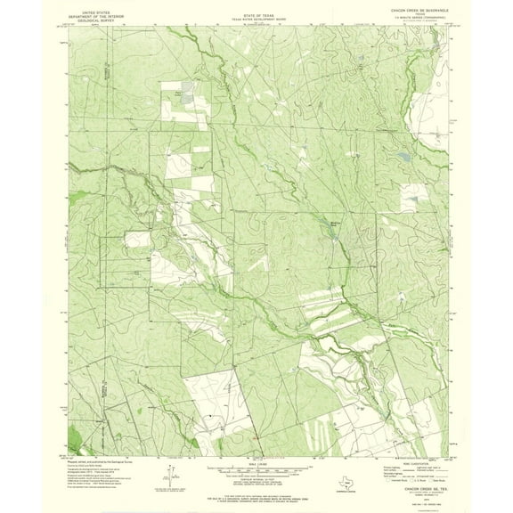
Topographical Map - Chacon Creek Texas South East Quad - USGS 1974 - 23 x 27.51 - Vintage Wall Art $40.95 $40.95/count
 3 optionsAvailable in additional 3 options$4095current price $40.95$40.95/count
Topographical Map - Chacon Creek Texas South East Quad - USGS 1974 - 23 x 27.51 - Vintage Wall Art
Topographical Map - Antelope Creek Texas North East Quad - USGS 1962 - 23 x 28.35 - Vintage Wall Art $40.95 $40.95/count
 $4095current price $40.95$40.95/count
Topographical Map - Antelope Creek Texas North East Quad - USGS 1962 - 23 x 28.35 - Vintage Wall Art
Topographical Map - Belding Texas South West Quad - USGS 1970 - 23 x 28.12 - Vintage Wall Art $40.95 $40.95/count
 $4095current price $40.95$40.95/count
Topographical Map - Belding Texas South West Quad - USGS 1970 - 23 x 28.12 - Vintage Wall Art
Topographical Map - Bullshead Creek Texas Quad - USGS 1979 - 23 x 27.70 - Vintage Wall Art $40.95
 $4095current price $40.95
Topographical Map - Bullshead Creek Texas Quad - USGS 1979 - 23 x 27.70 - Vintage Wall Art
Topographical Map - Cleburne West Texas Quad - USGS 1978 - 23 x 28.27 - Vintage Wall Art $40.95 $40.95/count
 $4095current price $40.95$40.95/count
Topographical Map - Cleburne West Texas Quad - USGS 1978 - 23 x 28.27 - Vintage Wall Art
Topographical Map - A B C Creek Texas Quad - USGS 1969 - 23 x 28.36 - Vintage Wall Art $40.95 $40.95/count
 $4095current price $40.95$40.95/count
Topographical Map - A B C Creek Texas Quad - USGS 1969 - 23 x 28.36 - Vintage Wall Art
Topographical Map - Bastrop Texas South West Quad - USGS 1982 - 23 x 28.19 - Vintage Wall Art $40.95 $40.95/count
 3 optionsAvailable in additional 3 options$4095current price $40.95$40.95/count
Topographical Map - Bastrop Texas South West Quad - USGS 1982 - 23 x 28.19 - Vintage Wall Art
Topographical Map - Batesville Texas South West Quad - USGS 1972 - 23 x 27.90 - Vintage Wall Art $40.95 $40.95/count
 3 optionsAvailable in additional 3 options$4095current price $40.95$40.95/count
Topographical Map - Batesville Texas South West Quad - USGS 1972 - 23 x 27.90 - Vintage Wall Art
Topographical Map - Buena Vista Texas South West Quad - USGS 1972 - 23 x 27.78 - Vintage Wall Art $40.95
 $4095current price $40.95
Topographical Map - Buena Vista Texas South West Quad - USGS 1972 - 23 x 27.78 - Vintage Wall Art
Topographical Map - Bob Creek Texas Quad - USGS 1959 - 23 x 27.94 - Vintage Wall Art $40.95 $40.95/count
 $4095current price $40.95$40.95/count
Topographical Map - Bob Creek Texas Quad - USGS 1959 - 23 x 27.94 - Vintage Wall Art
Topographical Map - Bull Creek Texas Quad - USGS 1969 - 23 x 28.88 - Vintage Wall Art $40.95
 3 optionsAvailable in additional 3 options$4095current price $40.95
Topographical Map - Bull Creek Texas Quad - USGS 1969 - 23 x 28.88 - Vintage Wall Art
Topographical Map - Arizona Creek Texas Quad - USGS 1984 - 23 x 28.26 - Vintage Wall Art $40.95 $40.95/count
 $4095current price $40.95$40.95/count
Topographical Map - Arizona Creek Texas Quad - USGS 1984 - 23 x 28.26 - Vintage Wall Art
Topographical Map - Caiman Creek NE Texas Quad - USGS 1974 - 23 x 27.06 - Vintage Wall Art $40.95
 $4095current price $40.95
Topographical Map - Caiman Creek NE Texas Quad - USGS 1974 - 23 x 27.06 - Vintage Wall Art
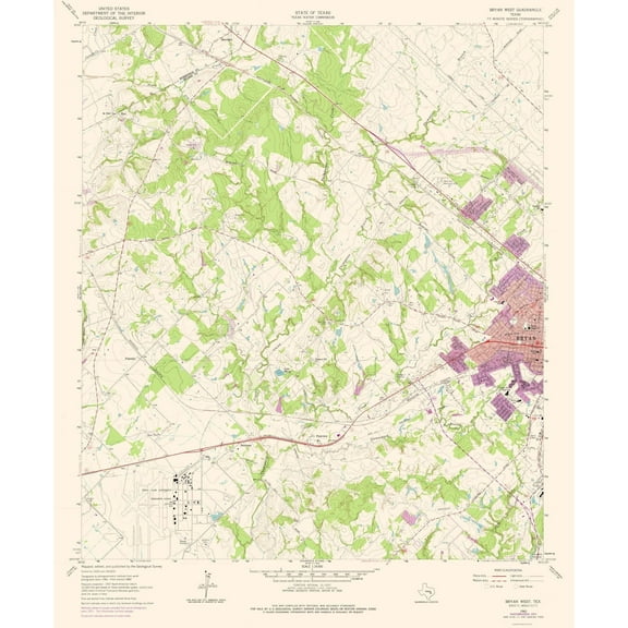
Topographical Map - Bryan Texas West Quad - USGS 1962 - 23 x 27.75 - Vintage Wall Art $40.95
 3 optionsAvailable in additional 3 options$4095current price $40.95
Topographical Map - Bryan Texas West Quad - USGS 1962 - 23 x 27.75 - Vintage Wall Art
Topographical Map - Tios Creek Texas Quad - USGS 1965 - 23 x 27.18 - Vintage Wall Art $40.95
 $4095current price $40.95
Topographical Map - Tios Creek Texas Quad - USGS 1965 - 23 x 27.18 - Vintage Wall Art
Topographical Map - Busher Canyon Texas Quad - USGS 1968 - 23 x 27.38 - Vintage Wall Art $40.95
 $4095current price $40.95
Topographical Map - Busher Canyon Texas Quad - USGS 1968 - 23 x 27.38 - Vintage Wall Art
Customer ratings & reviews
0 ratings|0 reviews
This item does not have any reviews yet

Related pages
- Jersey Counties Map Cities
- Wisconsin County Map
- Florida Map By County
- West Virginia Maps By County
- Missouri Map Counties
- Kentucky Counties Map
- Central America Travel Books, Maps & Guides
- Northeast United States Travel Books, Maps & Guides
- General South America Travel Books, Maps & Guides
- Midwest United States Travel Books, Maps & Guides
- Peru Travel Books, Maps & Guides
- Cyprus Travel Books