
Hero image 0 of Historic State Map - United States - Hammond 1910 - Vintage Wall Art, 0 of 4
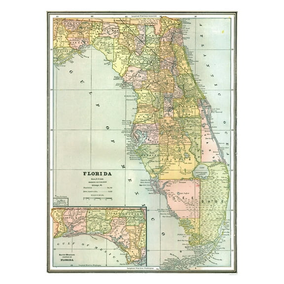
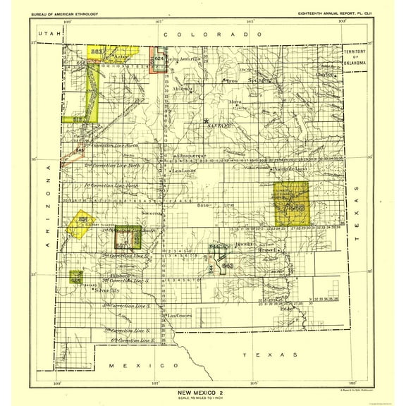
Historic State Map - United States - Hammond 1910 - Vintage Wall Art
(No ratings yet)
Historic State Map - United States - Hammond 1910 - Vintage Wall ArtHistoric State Map United States Hammond 1910 30 02 x 23 Vintage Wall ArtHistoric State Map United States Hammond 1910 30 02 x 23 Vintage Wall ArtHistoric State Map United States Hammond 1910 Vintage Wall ArtHistoric State Map United States Hammond 1910 Vintage Wall Art
Material:Glossy Photo
Size:23.00 x 30.02
Current price is USD$40.95$40.95/count
Price when purchased online
- Free shipping
- Free 30-day returns
How do you want your item?
Columbus, 43215
Arrives between May 1 - May 4
|Sold and shipped by Maps of the Past
4.363636363636363 stars out of 5, based on 11 seller reviews(4.4)
Free 30-day returns - in store or online
About this item


Customer ratings & reviews
0 ratings|0 reviews
This item does not have any reviews yet
