Hero image 0 of Topographical Map - Chesterville Ohio Quad - USGS 1961 - 23 x 30.91 - Vintage Wall Art, 0 of 5
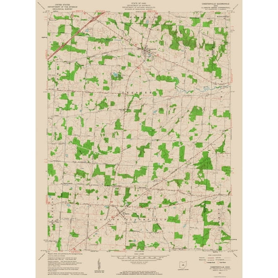
Topographical Map - Chesterville Ohio Quad - USGS 1961 - 23 x 30.91 - Vintage Wall Art
(No ratings yet)
Current price is USD$40.95$40.95/count
Price when purchased online
- Free shipping
- Free 30-day returns
How do you want your item?
Columbus, 43215
Arrives between Apr 11 - Apr 13
|Sold and shipped by Maps of the Past
4.3 stars out of 5, based on 10 seller reviews(4.3)
Free 30-day returns
About this item


Customer ratings & reviews
0 ratings|0 reviews
This item does not have any reviews yet

Related pages
- West Virginia Maps By County
- Akron Ohio Map
- Alabama State Map Cities
- Wisconsin County Map
- Missouri Map Counties
- Illinois Counties Map
- National Parks Posters
- Central America Travel Books, Maps & Guides
- Midwest United States Travel Books, Maps & Guides
- Northeast United States Travel Books, Maps & Guides
- General South America Travel Books, Maps & Guides
- Southern United States Travel Books, Maps & Guides