Hero image 0 of NOAA Chart 12270: Chesapeake Bay Eastern Bay and South River; Selby Bay, 35.5 X 48.3, Waterproof, 0 of 2
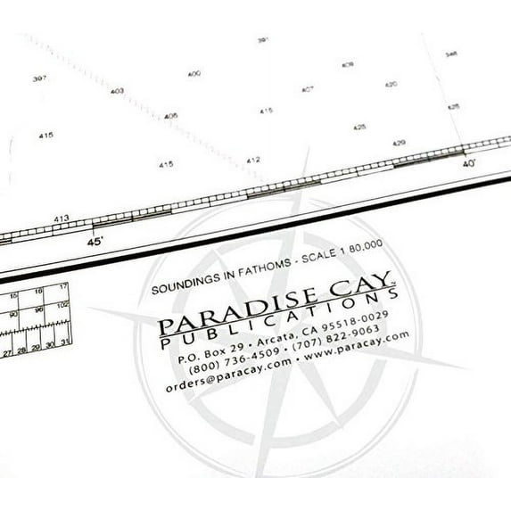
NOAA Chart 12270: Chesapeake Bay Eastern Bay and South River; Selby Bay, 35.5 X 48.3, Waterproof
(No ratings yet)
Price when purchased online
Not Available
How do you want your item?
Not available
About this item
Customer ratings & reviews
0 ratings|0 reviews
This item does not have any reviews yet
