Continents Map Countries(116)
Uses item details. Price when purchased online
Best seller UNCLE WU Laminated World Map Poster for Home, School, Classroom - 18" x 24" $7.90
Best seller

$790
current price $7.90UNCLE WU Laminated World Map Poster for Home, School, Classroom - 18" x 24"
303.9 out of 5 Stars. 30 reviews

Stupell Industries Seven Continents Informative Diagram Map Detailed Countries Framed Wall Art, 11 x 14, Design by Carla Daly From $20.39

7 options
Available in additional 7 optionsFrom$2039
Stupell Industries Seven Continents Informative Diagram Map Detailed Countries Framed Wall Art, 11 x 14, Design by Carla Daly
Middle East Countries Map Poster Political Chart With Borders Capitals For Classroom Office Wall Decor Educational Geographic From $12.90


From$1290
Middle East Countries Map Poster Political Chart With Borders Capitals For Classroom Office Wall Decor Educational Geographic
Wall Art Impressions 24"x28" Heavyweight Quality Paper :: Political Map - Asia Map All Countries Asia Map With Country Names And Capitals Inspiring World Map Design [Paper] [Plain Coated Paper] From $24.94
![Wall Art Impressions 24"x28" Heavyweight Quality Paper :: Political Map - Asia Map All Countries Asia Map With Country Names And Capitals Inspiring World Map Design [Paper] [Plain Coated Paper]](https://i5.walmartimages.com/seo/Wall-Art-Impressions-24-x28-Heavyweight-Quality-Paper-Political-Map-Asia-All-Countries-With-Country-Names-And-Capitals-Inspiring-World-Design-Paper-P_e0bb5822-21e5-428a-a7a3-ac3bb5509a56.e9d4ec360d7397bf3c12257228bad724.jpeg?odnHeight=576&odnWidth=576&odnBg=FFFFFF)
3 options
Available in additional 3 optionsFrom$2494
Wall Art Impressions 24"x28" Heavyweight Quality Paper :: Political Map - Asia Map All Countries Asia Map With Country Names And Capitals Inspiring World Map Design [Paper] [Plain Coated Paper]
The Seven Continents World Map Educational 12x18 US Made Poster $9.99

$999
current price $9.99The Seven Continents World Map Educational 12x18 US Made Poster
The Seven Continents World Map Educational 12x18 US Made Poster $9.99

$999
current price $9.99The Seven Continents World Map Educational 12x18 US Made Poster
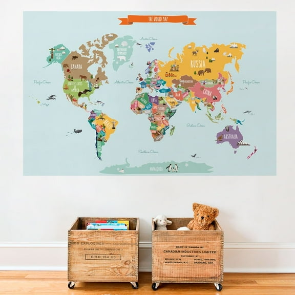
World Continents Education, Homeschool Learning Montessori Materials, Classroom, Map Poster Wall Art Print From $18.99

4 options
Available in additional 4 optionsFrom$1899
World Continents Education, Homeschool Learning Montessori Materials, Classroom, Map Poster Wall Art Print
Historic Map - World Continents - Coronelli 1742 - Vintage Wall Art From $36.95

2 options
Available in additional 2 optionsFrom$3695
Historic Map - World Continents - Coronelli 1742 - Vintage Wall Art
Countries of the World Map Poster Wall Sticker
Countries of the World Map Poster Wall Sticker
Wall Art Impressions 24"x28" Heavyweight Photo Quality Paper :: Political Map - Asia Map All Countries Asia Map With Country Names And Capitals Inspiring World Map Design [Laminated] From $24.94
![Wall Art Impressions 24"x28" Heavyweight Photo Quality Paper :: Political Map - Asia Map All Countries Asia Map With Country Names And Capitals Inspiring World Map Design [Laminated]](https://i5.walmartimages.com/seo/Wall-Art-Impressions-24-x28-Heavyweight-Photo-Quality-Paper-Political-Map-Asia-All-Countries-With-Country-Names-And-Capitals-Inspiring-World-Design-L_d01090c6-e656-400b-a1fc-cca81314a246.23e12cfd538f91c333796a0dd833d93c.jpeg?odnHeight=576&odnWidth=576&odnBg=FFFFFF)
2 options
Available in additional 2 optionsFrom$2494
Wall Art Impressions 24"x28" Heavyweight Photo Quality Paper :: Political Map - Asia Map All Countries Asia Map With Country Names And Capitals Inspiring World Map Design [Laminated]
Biblical Middle East Map Poster Ancient Lands vs Modern Countries Scripture Geography Chart Educational Wall Decor for Sunday School Classroom Homeschool and Church From $12.90

From$1290
Biblical Middle East Map Poster Ancient Lands vs Modern Countries Scripture Geography Chart Educational Wall Decor for Sunday School Classroom Homeschool and Church
Stupell Industries Seven Continents Informative Diagram Map Detailed Countries Framed Wall Art, 16 x 20, Design by Carla Daly $30.53

$3053
current price $30.53Stupell Industries Seven Continents Informative Diagram Map Detailed Countries Framed Wall Art, 16 x 20, Design by Carla Daly
Stupell Industries Traditional World Map Neutral Tone Continents On Blue, 11 x 14, Designed by BlursByAI From $19.77

6 options
Available in additional 6 optionsFrom$1977
Stupell Industries Traditional World Map Neutral Tone Continents On Blue, 11 x 14, Designed by BlursByAI
24x16in An accurate chart of the world Shifting trade winds variations of the compass 【Laminated】 From $21.99

3 options
Available in additional 3 optionsFrom$2199
24x16in An accurate chart of the world Shifting trade winds variations of the compass 【Laminated】
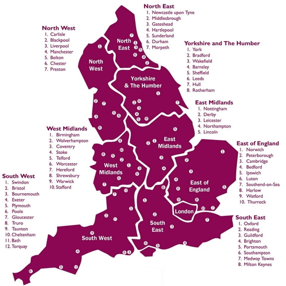
24x24in Coated Paper England Regions Poster Countries of the World Maps Map From $18.89
4 options
Available in additional 4 optionsFrom$1889
24x24in Coated Paper England Regions Poster Countries of the World Maps Map
Wall Art Impressions 24"x29" Laminated Poster :: Maps of Africa and African countries Political maps, Administrative and Road maps, Physical
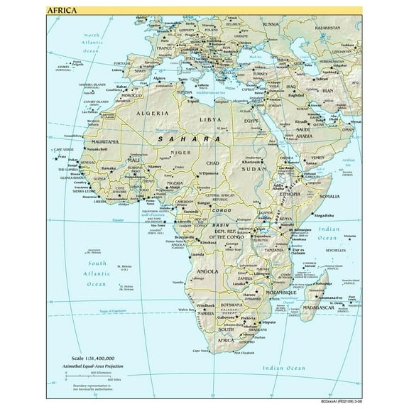
Wall Art Impressions 24"x29" Laminated Poster :: Maps of Africa and African countries Political maps, Administrative and Road maps, Physical
Straatsma, Leah 14x11 Black Modern Framed Museum Art Print Titled - World Continents Map From $29.99

4 options
Available in additional 4 optionsFrom$2999
Straatsma, Leah 14x11 Black Modern Framed Museum Art Print Titled - World Continents Map
Wall Art Impressions 34"x24" Coated Paper Poster:: World Map - cdn.obsidianporta More [Plain Coated Paper] From $24.70
![Wall Art Impressions 34"x24" Coated Paper Poster:: World Map - cdn.obsidianporta More [Plain Coated Paper]](https://i5.walmartimages.com/seo/Wall-Art-Impressions-34-x24-Coated-Paper-Poster-World-Map-cdn-obsidianporta-More-Plain-Coated-Paper_8d790e6f-64e6-4a6f-94da-e976a757d0a0.a71cba6eebd83da7b0edac00448fcd1e.jpeg?odnHeight=576&odnWidth=576&odnBg=FFFFFF)
3 options
Available in additional 3 optionsFrom$2470
Wall Art Impressions 34"x24" Coated Paper Poster:: World Map - cdn.obsidianporta More [Plain Coated Paper]
Wall Art Impressions 31"x24" Elevation map of the World [Plain Coated Paper] From $24.92
![Wall Art Impressions 31"x24" Elevation map of the World [Plain Coated Paper]](https://i5.walmartimages.com/seo/29-x24-Poster-Aboriginal-Australia-Resource-Map-Coated-Paper-Plain-Coated-Paper_1b19c5a8-0a98-4b93-ac6e-8f08d724347c.9c2bff38d2818fc75106dfb721021337.jpeg?odnHeight=576&odnWidth=576&odnBg=FFFFFF)
2 options
Available in additional 2 optionsFrom$2492
Wall Art Impressions 31"x24" Elevation map of the World [Plain Coated Paper]
Map Ortelius 1570 Whole Known World Continents Extra Large XL Wall Art Poster Print $24.99

$2499
current price $24.99Map Ortelius 1570 Whole Known World Continents Extra Large XL Wall Art Poster Print
Wall Art Impressions 31"x24" Heavyweight Coated Paper Poster :: Map Library Maps of the World, maps of all countries in the World, Online Library [Plain Coated Paper]
![Wall Art Impressions 31"x24" Heavyweight Coated Paper Poster :: Map Library Maps of the World, maps of all countries in the World, Online Library [Plain Coated Paper]](https://i5.walmartimages.com/seo/Wall-Art-Impressions-31-x24-Heavyweight-Coated-Paper-Poster-Map-Library-Maps-World-maps-countries-Online-Plain-Paper_5b452530-8ad4-4099-a2a2-4b2c2ac03a99.accd7f166119f080f6e64bfda6fc1586.jpeg?odnHeight=576&odnWidth=576&odnBg=FFFFFF)
Wall Art Impressions 31"x24" Heavyweight Coated Paper Poster :: Map Library Maps of the World, maps of all countries in the World, Online Library [Plain Coated Paper]
Africa Continent Map , Countries With Cool Pattern Colourfull Poster Wall Art, Modern Wall Decor For Living Room Bedroom, 16X16 UNFRAMED
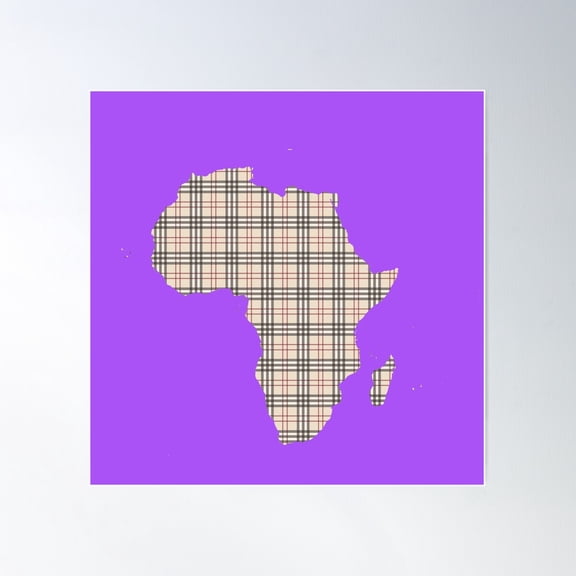
Africa Continent Map , Countries With Cool Pattern Colourfull Poster Wall Art, Modern Wall Decor For Living Room Bedroom, 16X16 UNFRAMED
36x24in Globe Map Countries Borders Old States Photo Paper $31.99
$3199
current price $31.9936x24in Globe Map Countries Borders Old States Photo Paper
24"x36" Gallery Poster, world map of Countries by population density 2007 $52.95

$5295
current price $52.9524"x36" Gallery Poster, world map of Countries by population density 2007
Places I'Ve Been: Minimalistic World Map Outlines Print , Countries Travel Tracker Poster , Poster Print Only From $18.99
5 options
Available in additional 5 optionsFrom$1899
Places I'Ve Been: Minimalistic World Map Outlines Print , Countries Travel Tracker Poster , Poster Print Only
Wall Art Impressions 33"x24" Photographic Quality Poster:: Thematic Map - Map Of Eurasia MAP3 [Laminated] From $24.94
![Wall Art Impressions 33"x24" Photographic Quality Poster:: Thematic Map - Map Of Eurasia MAP3 [Laminated]](https://i5.walmartimages.com/seo/Wall-Art-Impressions-33-x24-Photographic-Quality-Poster-Thematic-Map-Map-Of-Eurasia-MAP3-Laminated_482d43c2-62ac-4cc2-a515-0c125019f031.ee39f070cc47ab7928973f4b93fbec55.jpeg?odnHeight=576&odnWidth=576&odnBg=FFFFFF)
2 options
Available in additional 2 optionsFrom$2494
Wall Art Impressions 33"x24" Photographic Quality Poster:: Thematic Map - Map Of Eurasia MAP3 [Laminated]
Stupell Industries Pink Tones World Map Atlas Countries Education Graphic Art Gray Framed Art Print Wall Art, Design by Arrolynn Weiderhold From $31.10

3 options
Available in additional 3 optionsFrom$3110
Stupell Industries Pink Tones World Map Atlas Countries Education Graphic Art Gray Framed Art Print Wall Art, Design by Arrolynn Weiderhold
24x24in Topographic map-fr of the Kerguelen Islands, Indian Ocean, France. 【Coated Paper】 From $17.99

3 options
Available in additional 3 optionsFrom$1799
24x24in Topographic map-fr of the Kerguelen Islands, Indian Ocean, France. 【Coated Paper】
24"x26" Laminated Poster :: Political Map - Zimbabwe Political Wall Map From $24.94

2 options
Available in additional 2 optionsFrom$2494
24"x26" Laminated Poster :: Political Map - Zimbabwe Political Wall Map
Countries I'Ve Visited, Travel Tracker: Blank World Map Checklist Print , Poster Print Only From $18.99
5 options
Available in additional 5 optionsFrom$1899
Countries I'Ve Visited, Travel Tracker: Blank World Map Checklist Print , Poster Print Only
Wall Art Impressions 24"x30" Heavyweight Quality Paper :: Yorba Linda topographic map, CA - USGS Topo Quad 【Paper】 [Plain Coated Paper]
![Wall Art Impressions 24"x30" Heavyweight Quality Paper :: Yorba Linda topographic map, CA - USGS Topo Quad 【Paper】 [Plain Coated Paper]](https://i5.walmartimages.com/seo/Wall-Art-Impressions-24-x30-Heavyweight-Quality-Paper-Yorba-Linda-topographic-map-CA-USGS-Topo-Quad-Paper-Plain-Coated-Paper_f1922562-6af7-4e36-8eb2-a5f9021847e9.31f32fc9a85bf2c273c33b0ffe388434.jpeg?odnHeight=576&odnWidth=576&odnBg=FFFFFF)
Wall Art Impressions 24"x30" Heavyweight Quality Paper :: Yorba Linda topographic map, CA - USGS Topo Quad 【Paper】 [Plain Coated Paper]
Countries Continent America Poster -Image by Shutterstock
Countries Continent America Poster -Image by Shutterstock
Countries I'Ve Visited, Travel Tracker: Blank World Map Checklist Print , Poster Print Only From $18.99
5 options
Available in additional 5 optionsFrom$1899
Countries I'Ve Visited, Travel Tracker: Blank World Map Checklist Print , Poster Print Only
Wall Art Impressions Heavyweight Coated Paper World Map, 2024, Poster, 34x22.37 From $17.99

3 options
Available in additional 3 optionsFrom$1799
Wall Art Impressions Heavyweight Coated Paper World Map, 2024, Poster, 34x22.37
Grenada Map Printed Green And Gold North America Wall Art Home Decor Geography Map Gift From $18.99

5 options
Available in additional 5 optionsFrom$1899
Grenada Map Printed Green And Gold North America Wall Art Home Decor Geography Map Gift
Wall Art Impressions 24"x30" Heavyweight Quality Paper :: Riverside East topographic map, CA - USGS Topo Quad [Plain Coated Paper] From $24.94
![Wall Art Impressions 24"x30" Heavyweight Quality Paper :: Riverside East topographic map, CA - USGS Topo Quad [Plain Coated Paper]](https://i5.walmartimages.com/seo/Wall-Art-Impressions-24-x30-Heavyweight-Quality-Paper-Lake-Fulmor-topographic-map-CA-USGS-Topo-Quad-Paper-Plain-Coated-Paper_3acbd35f-80d1-4cd2-be8a-9f783bcb71af.62c85288b52b34fc681bffc9f1a008fe.jpeg?odnHeight=576&odnWidth=576&odnBg=FFFFFF)
2 options
Available in additional 2 optionsFrom$2494
Wall Art Impressions 24"x30" Heavyweight Quality Paper :: Riverside East topographic map, CA - USGS Topo Quad [Plain Coated Paper]
Travel World Map Purple Shades Poster Wall Art, Modern Wall Decor, 16x16 UNFRAMED From $21.99

3 options
Available in additional 3 optionsFrom$2199
Travel World Map Purple Shades Poster Wall Art, Modern Wall Decor, 16x16 UNFRAMED
Tiptophomedecor Stretched Canvas World Map Art - The Map Of The World - Italian Names Of Countries - Stretched & Framed Ready To Hang Art From $131.91

3 options
Available in additional 3 optionsFrom$13191
Tiptophomedecor Stretched Canvas World Map Art - The Map Of The World - Italian Names Of Countries - Stretched & Framed Ready To Hang Art
Wall Art Impressions 24"x30" Heavyweight Coated Plain Paper :: Peru Politicalphysical Map[Plain Coated Paper] From $24.94
![Wall Art Impressions 24"x30" Heavyweight Coated Plain Paper :: Peru Politicalphysical Map[Plain Coated Paper]](https://i5.walmartimages.com/seo/Wall-Art-Impressions-33-x24-Heavyweight-Coated-Paper-Poster-Resource-Map-Sudan-UNHAS-South-Fi-xed-Flight-Route-March-2011-ReliefWeb-Plain-Paper_9f4e0d6e-7ec3-4e15-8569-257c1a979b69.91b29617f3ec91afefda947ef83d440b.jpeg?odnHeight=576&odnWidth=576&odnBg=FFFFFF)
3 options
Available in additional 3 optionsFrom$2494
Wall Art Impressions 24"x30" Heavyweight Coated Plain Paper :: Peru Politicalphysical Map[Plain Coated Paper]
Other options to consider(240)
Popular in Continents Map Countries
Related Products
Art.com Old Map Of World Hemispheres. Created By Frederick De Wit, Published In Amsterdam, 1668 Stretched Canvas Print Wall Art by marzolino, 32" x 24"
 Art.com Old Map Of World Hemispheres. Created By Frederick De Wit, Published In Amsterdam, 1668 Stretched Canvas Print Wall Art by marzolino, 32" x 24"$129.00current price $129.00
Animal World Map - German Nursery Decor, Educational Poster, Unframed Poster Size 24x36
 Animal World Map - German Nursery Decor, Educational Poster, Unframed Poster Size 24x36$35.99current price $35.99
Map Of The World Poster - Smartprints Designs,
 Map Of The World Poster - Smartprints Designs,$18.99current price $18.99
Hemispheres Boardroom Series United States Laminated Wall Map
 Hemispheres Boardroom Series United States Laminated Wall Map$28.88current price $28.88
GBC | "World Timezone map" Art Print - 36x24
 GBC | "World Timezone map" Art Print - 36x24$48.00current price $48.00
GBC | "World Timezone map" Art Print - 24x16
 GBC | "World Timezone map" Art Print - 24x16$25.00current price $25.00
EU Poster, Map Of Europe, Continent Wall Art Gift, White 13x13in Poster
 EU Poster, Map Of Europe, Continent Wall Art Gift, White 13x13in Poster$21.95current price $21.95
2021 Standard Time Zones of the World Map Poster Map of the World Time Zones Wall Art - Time Zone Map of the World Poster
 2021 Standard Time Zones of the World Map Poster Map of the World Time Zones Wall Art - Time Zone Map of the World Poster$17.51current price $17.51
Great BIG Canvas | Rolled Gerard (1512-1594) Mercator Poster Print entitled Double Hemisphere World Map, 1587
 Great BIG Canvas | Rolled Gerard (1512-1594) Mercator Poster Print entitled Double Hemisphere World Map, 1587$60.99current price $60.99
Scratch off Map of the USA, 36"x24" Large Size Travel Map, USA Scratch off Map Poster, Wall Decor Watercolor Map Includes Scratch off Tools
 Scratch off Map of the USA, 36"x24" Large Size Travel Map, USA Scratch off Map Poster, Wall Decor Watercolor Map Includes Scratch off Tools$17.99current price $17.99
Great BIG Canvas | Rolled Michael Tompsett Poster Print entitled World Map in Words 2
 Great BIG Canvas | Rolled Michael Tompsett Poster Print entitled World Map in Words 2$35.99current price $35.99
HISTORIX 2021 Standard Time Zones of the World Map Poster Wall Art Print, 24 x 36 Inch
 HISTORIX 2021 Standard Time Zones of the World Map Poster Wall Art Print, 24 x 36 Inch$59.99current price $59.99
48x78 huge world classic elite wall map (front laminated)
 48x78 huge world classic elite wall map (front laminated)$44.00current price $44.00
HISTORIX 1888 Clark County Washington Vintage Map Poster Wall Art Print, 18 x 24 Inch
 HISTORIX 1888 Clark County Washington Vintage Map Poster Wall Art Print, 18 x 24 Inch$39.99current price $39.99