
Hero image 0 of Topographical Map - Cisco Utah Quad - USGS 1958 - 23 x 28.19 - Vintage Wall Art, 0 of 5
Topographical Map - Cisco Utah Quad - USGS 1958 - 23 x 28.19 - Vintage Wall Art
(No ratings yet)
Key item features
- OWN A HISTORICAL TOPOGRAPHICAL MAP TODAY - Topographical maps provide you a birds-eye view of how the topography of certain pieces of land are mapped out. See how much today's maps have changed from centuries ago. See how waterways have shifted, or how forrests have become thralling cities. See how history has changed the landscape with a topographical map today!
- TOPOGRAPHICAL MAPS PROVIDE IMPORTANT INFORMATION -Topographical maps show you how the borders of a county are established and were they can be found. It also highlights rivers, mountains, and other natural elements, and it will show you where the cities are located within it.
- ONLY ACCEPT THE BEST PRINT QUALITY FOR YOUR REPRODUCTIONS - There are many printers and print types available on the market, when purchasing a reproduction there is no finer quality reproduction than a reproduction using the Giclee Printing method. Giclee describes the technique or style of printing used, and it is revered as the highest quality printing because of the way it precisely sprays ink onto a surface. Trust nothing less than the best!
- GUARNANTEED TO GET EXACTLY WHAT YOU ORDERED - This map comes exactly to the specification of 23.00 x 28.18 inches/58.42 X 71.57 cm. All of our maps come rolled, wrapped, and shipped in a heavy gauge mailing tube to ensure it arrives intact.
- WHY CHOOSE MAPS OF THE PAST? - Maps of the Past is one of the single largest producers of different types of maps. They legally own the rights to the maps they sell, and provide them to you in clean, clear, and vibrant print. If you are looking for a high quality map print, then look no further than Maps of the Past!
Specs
- Size23.00 x 28.18
- MaterialGlossy Satin Photo Quality
- Decor styleVintage
- ThemeHistoric Topographic Maps
- FramedN
- ShapeRectangle
Current price is USD$40.95$40.95/count
Price when purchased online
- Free shipping
 Free 30-day returns
How do you want your item?
Columbus, 43215
Arrives by Tue, Apr 14
|Sold and shipped by Maps of the Past
4.3 stars out of 5, based on 10 seller reviews(4.3)10 seller reviews
Free 30-day returns
About this item
Product details
Historical Topographic Maps - Cisco Utah Quad - USGS 1958 - This is an exquisite full-color Reproduction printed on high-quality gloss paper, art paper or canvas.
Print Size: 23.00 x 28.18 inches
58.42 X 71.57cm
The following towns are featured: Cisco.
This Map is Situated in: Cisco, Utah.
SKU: UTCI0001
Original Maps are often difficult to find and usually have fold lines, identifying stamps or markings, tears, ragged edges, and assorted other natural signs of age that detract from their beauty. All of our maps have been professionally restored to depict their original beauty, while keeping all historical data intact.
These maps are fabulous pieces of history full of information useful to Historians, Genealogists, Cartographers, Relic Hunters, & Others. They make fascinating conversation pieces and splendid works of art for the home or office.
- OWN A HISTORICAL TOPOGRAPHICAL MAP TODAY - Topographical maps provide you a birds-eye view of how the topography of certain pieces of land are mapped out. See how much today's maps have changed from centuries ago. See how waterways have shifted, or how forrests have become thralling cities. See how history has changed the landscape with a topographical map today!
- TOPOGRAPHICAL MAPS PROVIDE IMPORTANT INFORMATION -Topographical maps show you how the borders of a county are established and were they can be found. It also highlights rivers, mountains, and other natural elements, and it will show you where the cities are located within it.
- ONLY ACCEPT THE BEST PRINT QUALITY FOR YOUR REPRODUCTIONS - There are many printers and print types available on the market, when purchasing a reproduction there is no finer quality reproduction than a reproduction using the Giclee Printing method. Giclee describes the technique or style of printing used, and it is revered as the highest quality printing because of the way it precisely sprays ink onto a surface. Trust nothing less than the best!
- GUARNANTEED TO GET EXACTLY WHAT YOU ORDERED - This map comes exactly to the specification of 23.00 x 28.18 inches/58.42 X 71.57 cm. All of our maps come rolled, wrapped, and shipped in a heavy gauge mailing tube to ensure it arrives intact.
- WHY CHOOSE MAPS OF THE PAST? - Maps of the Past is one of the single largest producers of different types of maps. They legally own the rights to the maps they sell, and provide them to you in clean, clear, and vibrant print. If you are looking for a high quality map print, then look no further than Maps of the Past!
info:
We aim to show you accurate product information. Manufacturers, suppliers and others provide what you see here, and we have not verified it.
Specifications
Size
23.00 x 28.18
Material
Glossy Satin Photo Quality
Decor style
Vintage
Theme
Historic Topographic Maps
Warranty
Warranty information
Please be aware that the warranty terms on items offered for sale by third party Marketplace sellers may differ from those displayed in this section (if any). To confirm warranty terms on an item offered for sale by a third party Marketplace seller, please use the 'Contact seller' feature on the third party Marketplace seller's information page and request the item's warranty terms prior to purchase.
Similar items you might like
Based on what customers bought
Topographical Map - Genoa West Colorado Quad - USGS 1980 - Vintage Wall Art $36.95
 $3695current price $36.95
Topographical Map - Genoa West Colorado Quad - USGS 1980 - Vintage Wall Art
Amazing Grace Wall Art Poster - 11x14 Unframed Art Print - Great Inspirational Music Sheets Gift and Décor $14.99
 $1499current price $14.99
Amazing Grace Wall Art Poster - 11x14 Unframed Art Print - Great Inspirational Music Sheets Gift and Décor
Topographical Map - Bergen New York Quad - USGS 1899 - 23 x 31.62 - Vintage Wall Art $40.95 $40.95/count
 3 optionsAvailable in additional 3 options$4095current price $40.95$40.95/count
Topographical Map - Bergen New York Quad - USGS 1899 - 23 x 31.62 - Vintage Wall Art
Historic State Map - Louisiana - Colton 1855 - Vintage Wall Art $36.95
 4 optionsAvailable in additional 4 options$3695current price $36.95
Historic State Map - Louisiana - Colton 1855 - Vintage Wall Art
Topographical Map - Cooper Canyon Utah Quad - USGS 1966 - 23 x 30.07 - Vintage Wall Art $40.95
 3 optionsAvailable in additional 3 options$4095current price $40.95
Topographical Map - Cooper Canyon Utah Quad - USGS 1966 - 23 x 30.07 - Vintage Wall Art
Best seller UNREALISM Art Prints 12” x 16” Framed Wall Art Print $13.50
Best seller


 $1350current price $13.50
UNREALISM Art Prints 12” x 16” Framed Wall Art Print
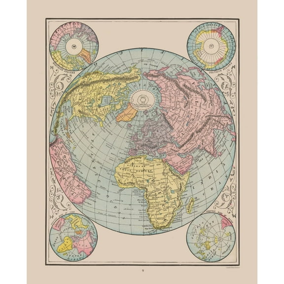
414.5 out of 5 Stars. 41 reviewsHistoric Map - World - Cram 1892 - 23 x 28.30 - Vintage Wall Art $40.95
 3 optionsAvailable in additional 3 options$4095current price $40.95
Historic Map - World - Cram 1892 - 23 x 28.30 - Vintage Wall Art
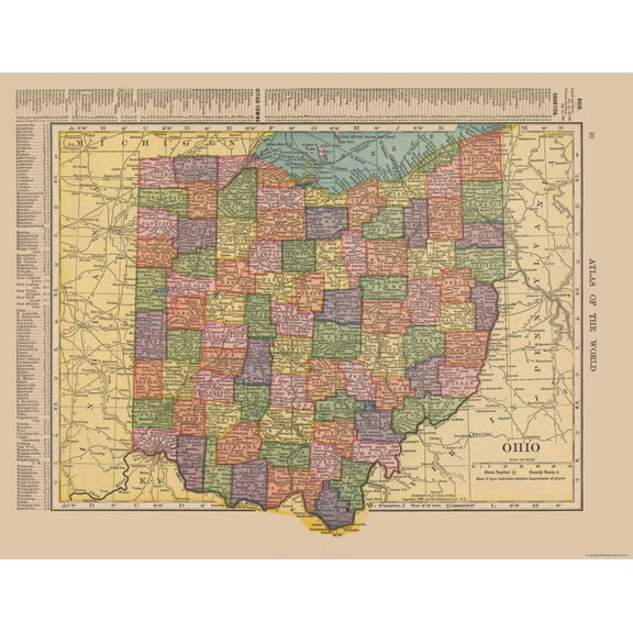
Historic State Map - Ohio - Hammond 1910 - 29.86 x 23 - Vintage Wall Art $40.95
 2 optionsAvailable in additional 2 options$4095current price $40.95
Historic State Map - Ohio - Hammond 1910 - 29.86 x 23 - Vintage Wall Art
Topographical Map - Orrs Sheet - US Army 1944 - Vintage Wall Art $36.95
 $3695current price $36.95
Topographical Map - Orrs Sheet - US Army 1944 - Vintage Wall Art
Topographical Map - United States Northwest - USGS 1932 - 23 x 40.13 - Vintage Wall Art $40.95
 3 optionsAvailable in additional 3 options$4095current price $40.95
Topographical Map - United States Northwest - USGS 1932 - 23 x 40.13 - Vintage Wall Art
Historic State Map - Michigan - Reynold 1921 - 23 x 32.50 - Vintage Wall Art $40.95 $40.95/count
 2 optionsAvailable in additional 2 options$4095current price $40.95$40.95/count
Historic State Map - Michigan - Reynold 1921 - 23 x 32.50 - Vintage Wall Art
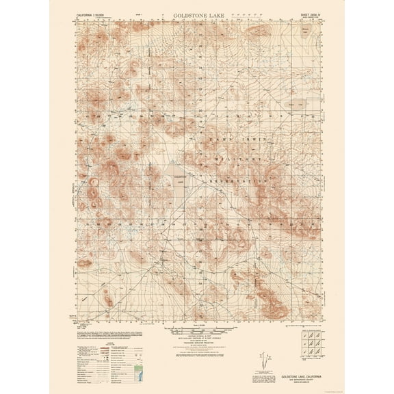
Topographical Map - Goldstone Sheet - US Army 1948 - Vintage Wall Art $36.95
 $3695current price $36.95
Topographical Map - Goldstone Sheet - US Army 1948 - Vintage Wall Art
YaHaku You're like really pretty Pink Hearts wall art Teen Girl room Decor Bow $21.99
 3 optionsAvailable in additional 3 options$2199current price $21.99
YaHaku You're like really pretty Pink Hearts wall art Teen Girl room Decor Bow
Topographical Map - Washington DC Maryland - Boschke 1861 - 23 x 30.5 - Vintage Wall Art $40.95
 3 optionsAvailable in additional 3 options$4095current price $40.95
Topographical Map - Washington DC Maryland - Boschke 1861 - 23 x 30.5 - Vintage Wall Art
Topographical Map - United States Southwest - USGS 1960 - 23 x 39.46 - Vintage Wall Art $40.95 $40.95/count
 3 optionsAvailable in additional 3 options$4095current price $40.95$40.95/count
Topographical Map - United States Southwest - USGS 1960 - 23 x 39.46 - Vintage Wall Art
Historic State Map - Wisconsin - Poates 1921 - 23 x 32.77 - Vintage Wall Art $40.95
 $4095current price $40.95
Historic State Map - Wisconsin - Poates 1921 - 23 x 32.77 - Vintage Wall Art
Historic State Map - Louisiana United States - Cram 1888 - 27.98 x 23 - Vintage Wall Art $40.95 $40.95/count
 3 optionsAvailable in additional 3 options$4095current price $40.95$40.95/count
Historic State Map - Louisiana United States - Cram 1888 - 27.98 x 23 - Vintage Wall Art
Historic State Map - North Carolina - Alden 1886 - 35.33 x 23 - Vintage Wall Art $40.95
 3 optionsAvailable in additional 3 options$4095current price $40.95
Historic State Map - North Carolina - Alden 1886 - 35.33 x 23 - Vintage Wall Art
Historic State Map - Mississippi - Hoen 1896 - Vintage Wall Art $36.95
 $3695current price $36.95
Historic State Map - Mississippi - Hoen 1896 - Vintage Wall Art
Historic State Map - Utah - Hoen 1896 - 23 x 28.10 - Vintage Wall Art $40.95
 3 optionsAvailable in additional 3 options$4095current price $40.95
Historic State Map - Utah - Hoen 1896 - 23 x 28.10 - Vintage Wall Art
Customer ratings & reviews
0 ratings|0 reviews
This item does not have any reviews yet

Related pages
- West Virginia Maps By County
- Alabama County Map Roads
- Maps Of Illinois Cities & Towns
- Jersey Counties Map Cities
- Gatlinburg Map
- Interstate Highways Map
- Central America Travel Books, Maps & Guides
- Midwest United States Travel Books, Maps & Guides
- Southern United States Travel Books, Maps & Guides
- Northeast United States Travel Books, Maps & Guides
- General South America Travel Books, Maps & Guides
- General United States Travel Books, Maps & Guides