
Eastbourne A-Z Pocket Street Map (Edition 2) (Sheet map, folded)
(No ratings yet)
Key item features
This up-to-date detailed A-Z street map includes all of the 1,500 streets in and around Eastbourne. As well as the Eastbourne Pier the other areas covered are Birling Gap, Beachy Head, Hailsham, Polegate, Pevensey Bay, Willingdon, Langney, East Dean and Friston. The large scale 1 mile to 4.5 inch street map includes the following; • Places of interest • Postcode districts, one-way streets and car parks • Index to streets, places of interest, place and area names, park and ride sites, national rail stations, hospitals and hospices The perfect reference map for finding your way around Eastbourne.
Specs
- Map typeStreet Map
- FeaturesFoldable
- BrandA-Z Maps
- Book formatPaperback
- Edition2
- Pieces1
More seller options (2)
Starting from $9.95
About this item
Product details
This up-to-date detailed A-Z street map includes all of the 1,500 streets in and around Eastbourne. As well as the Eastbourne Pier the other areas covered are Birling Gap, Beachy Head, Hailsham, Polegate, Pevensey Bay, Willingdon, Langney, East Dean and Friston. The large scale 1 mile to 4.5 inch street map includes the following; - Places of interest - Postcode districts, one-way streets and car parks - Index to streets, places of interest, place and area names, park and ride sites, national rail stations, hospitals and hospices The perfect reference map for finding your way around Eastbourne.
This up-to-date detailed A-Z street map includes all of the 1,500 streets in and around Eastbourne. As well as the Eastbourne Pier the other areas covered are Birling Gap, Beachy Head, Hailsham, Polegate, Pevensey Bay, Willingdon, Langney, East Dean and Friston. The large scale 1 mile to 4.5 inch street map includes the following; • Places of interest • Postcode districts, one-way streets and car parks • Index to streets, places of interest, place and area names, park and ride sites, national rail stations, hospitals and hospices The perfect reference map for finding your way around Eastbourne.
info:
We aim to show you accurate product information. Manufacturers, suppliers and others provide what you see here, and we have not verified it.
Specifications
Map type
Street Map
Features
Foldable
Brand
A-Z Maps
Book format
Paperback
Warranty
Warranty information
Please be aware that the warranty terms on items offered for sale by third party Marketplace sellers may differ from those displayed in this section (if any). To confirm warranty terms on an item offered for sale by a third party Marketplace seller, please use the 'Contact seller' feature on the third party Marketplace seller's information page and request the item's warranty terms prior to purchase.
Warnings
State Chemical Disclosure
None
Similar items you might like
Based on what customers bought
Map Lonely Planet Croatia Planning Map, (Paperback) $9.99
 $999current price $9.99
Map Lonely Planet Croatia Planning Map, (Paperback)
Benchmark Colorado Recreation Map, (Paperback) $9.95
 $995current price $9.95
Benchmark Colorado Recreation Map, (Paperback)
London A-Z Visitors Map $10.31 Was $12.19
 $1031current price $10.31, Was $12.19$12.19
London A-Z Visitors Map
Chester A-Z Pocket Street Map, (Paperback) $9.81
 $981current price $9.81
Chester A-Z Pocket Street Map, (Paperback)
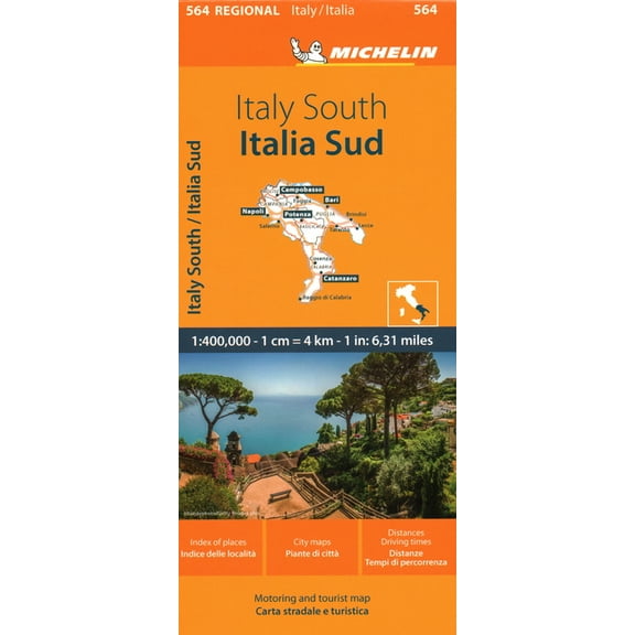
Maps/Regional (Michelin) Michelin Map Italy: South, (Paperback) $11.95 Was $15.49
 $1195current price $11.95, Was $15.49$15.49
Maps/Regional (Michelin) Michelin Map Italy: South, (Paperback)
Adventure Map: Tuscany [italy] - Folded Map $13.93
![Adventure Map: Tuscany [italy] - Folded Map](https://i5.walmartimages.com/asr/c0d9329d-ecf7-4e56-88c2-7fc2485ade0c.7eab6acca719890541d4528a5bc9656d.jpeg?odnHeight=576&odnWidth=576&odnBg=FFFFFF) $1393current price $13.93
$1393current price $13.93Adventure Map: Tuscany [italy] - Folded Map
14 out of 5 Stars. 1 reviewsMaps/Regional (Michelin) Michelin Map Germany: Southwest Map 545, (Paperback) $15.44
 $1544current price $15.44
Maps/Regional (Michelin) Michelin Map Germany: Southwest Map 545, (Paperback)
Maps/Local (Michelin) Michelin Map Italy: Toscana 358, (Paperback) $9.95 Was $11.85
 $995current price $9.95, Was $11.85$11.85
Maps/Local (Michelin) Michelin Map Italy: Toscana 358, (Paperback)
France: Normandy Map 513, (Paperback) $15.44
 $1544current price $15.44
France: Normandy Map 513, (Paperback)
Michelin Streetwise Maps Streetwise Prague Map - Laminated City Center Street Map of Prague, Czech-Republic, (Paperback) $13.89
 $1389current price $13.89
Michelin Streetwise Maps Streetwise Prague Map - Laminated City Center Street Map of Prague, Czech-Republic, (Paperback)
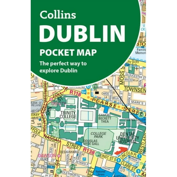
Dublin Pocket Map : The Perfect Way to Explore Ireland???s Capital $13.25
 $1325current price $13.25
Dublin Pocket Map : The Perfect Way to Explore Ireland???s Capital
Popout Maps Tokyo Popout Map, (Paperback) $10.55
 $1055current price $10.55
Popout Maps Tokyo Popout Map, (Paperback)
Michelin Streetwise Maps Streetwise Manhattan Map - Laminated City Center Street Map of Manhattan, New York, (Paperback) $8.95
 $895current price $8.95
Michelin Streetwise Maps Streetwise Manhattan Map - Laminated City Center Street Map of Manhattan, New York, (Paperback)
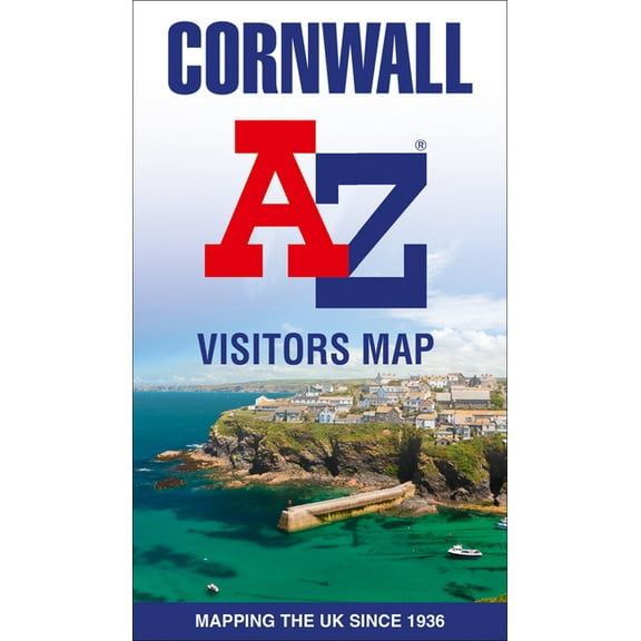
Cornwall A-Z Visitors Map, (Paperback) $13.42 Was $16.47
 $1342current price $13.42, Was $16.47$16.47
Cornwall A-Z Visitors Map, (Paperback)
Map: Lonely Planet Lisbon City Map (Sheet map, folded) $10.32
 $1032current price $10.32
Map: Lonely Planet Lisbon City Map (Sheet map, folded)
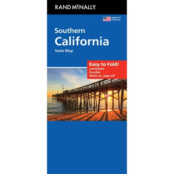
California South Easy to Fold State Map: Case, (Paperback) $10.99
 $1099current price $10.99
California South Easy to Fold State Map: Case, (Paperback)
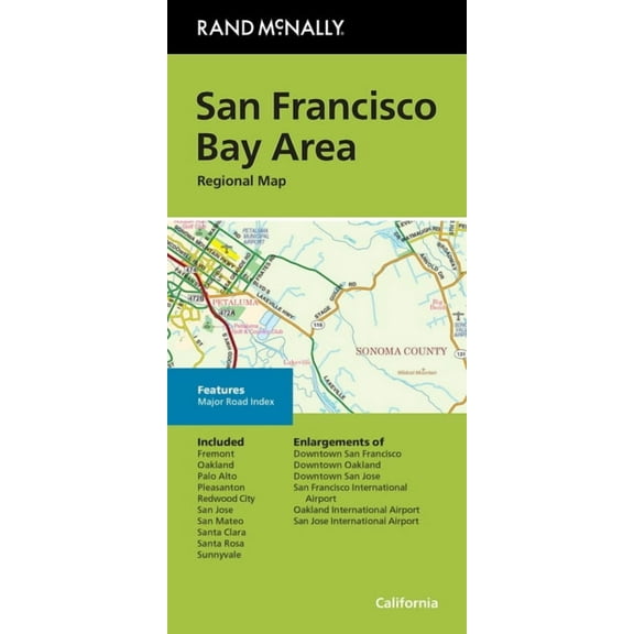
Rand McNally Folded Map: San Francisco Bay Area Regional Map, (Paperback) $8.54 Was $9.99
 $854current price $8.54, Was $9.99$9.99
Rand McNally Folded Map: San Francisco Bay Area Regional Map, (Paperback)
Great Britain A-Z-Road Map, (Paperback) $14.61
 $1461current price $14.61
Great Britain A-Z-Road Map, (Paperback)
London A-Z Premier Map, (Paperback) $19.37
 $1937current price $19.37
London A-Z Premier Map, (Paperback)
Aquitaine Motoring and Tourist Map (524 Regional France) $6.99 Was $12.95
 $699current price $6.99, Was $12.95$12.95
Aquitaine Motoring and Tourist Map (524 Regional France)
Customer ratings & reviews
0 ratings|0 reviews
This item does not have any reviews yet
