
1851 Wisconsin Map Poster - Vintage Map of Wisconsin Wall Art - Old Wisconsin Map Art Poster
Key item features
- Size: 18 x 24 Inches
- Museum-quality giclee print
- Printed using archival ink on premium heavyweight acid-free matte paper
- Shipped in a sturdy cardboard tube
- Makes a perfect gift
Specs
- Size18" x 24"
- ThemeVintage
- FramedY
- BrandHISTORIX
- Photo paper finish configurationMatte
- Pieces1
- Free shipping
 Free 30-day returns
How do you want your item?
About this item
Product details
Feature Points
- VINTAGE MAP REPRODUCTION: You’ll love this high quality historic reproduction of 1851 Wisconsin Map Poster. Our museum quality maps are archival grade, which means it will look great and last without fading for over 100 years. Our print to order maps are made in the USA and each map is inspected for quality. This beautiful artwork is a perfect addition to your themed decor. Vintage maps look great in the home, study or office. They make a perfect gift as well.
- MUSEUM QUALITY: This high quality map print will be a great addition to your vintage-themed wall. Don't waste money on cheap-looking, thin paper posters. We use thick, fine art print quality matte paper. Our professional’s choice matte paper displays artwork in high detail without glare. The color is vibrant and text is easy to read. When framed, this map looks absolutely stunning.
- A LOOK BACK AT HISTORY: This is an impressive, historic reproduction of 1851 Wisconsin Map Poste . This print is from an original found in the maps and geography division of the US Library of Congress. A true piece of history. See our product description section for more fascinating information about this historic map and its significance.
- READY TO FRAME: This print includes a 0.2 inch border for a perfect frame fit and look. Our maps are designed to fit easy-to-find standard frame sizes, saving you money from having to pay for a custom frame. Each map is inspected for quality and shipped in a rigid tube.
- HISTORIX: We love history and art. Sometimes old maps have tears, folds, separations and other blemishes. We digitally restore and enhance maps while keeping its historical character. All our maps are proudly made in the USA. Customers all over the world love our vintage maps and we know you will too.
Additional Information
Published in 1851 by prolific American cartographer JH Colton, this distinctive illustration of Wisconsin depicts the state in one of its most significant periods of growth in the mid 19th century. Colton's maps were unique in that he utilized metal engraving plates over the inferior wax engravings that were more common for the era, and the elaborate borders are a common theme for Colton's work. His cartographical style was influential throughout the 19th century, and his works appear in the Smithsonian Museum.
Wisconsin achieved statehood only three years prior to this publication but had been expanding massively in the years leading up to its inclusion in the United States. German, Irish, and Norwegian immigrants were flocking to the state, and its population had grown from 31,000 to over 300,000.
As lead mining diminished in the early years of statehood Wisconsin's economy diversified, dairy and agriculture industries became primary economic drivers for the state. The large immigrant population found familiar territory, and breweries became common throughout the state and would remain a staple of Wisconsin's culture through the present day. Lumber and paper milling also became staple industries for the state in pre-industrialization years.
During the mid 19th century Nelson Dewey, the first Governor, emphasized the building of critical infrastructure, including railways and canals, to provide further access for grain and lumber to be exported from the state. The 1850s were a period of tremendous growth for Wisconsin, and this illustration allows the viewer a glimpse of the state's rich history.
Our museum quality giclee print comes printed with archival ink on premium heavyweight matte paper. Shipped in a sturdy cardboard tube your print will arrive ready to be framed. This eye-catching vintage map reproduction print makes the perfect gift for anyone that loves history and imagery.
- Size: 18 x 24 Inches
- Museum-quality giclee print
- Printed using archival ink on premium heavyweight acid-free matte paper
- Shipped in a sturdy cardboard tube
- Makes a perfect gift
Specifications
Size
Theme
Framed
Brand
Warranty
Warranty information
Similar items you might like
Based on what customers bought
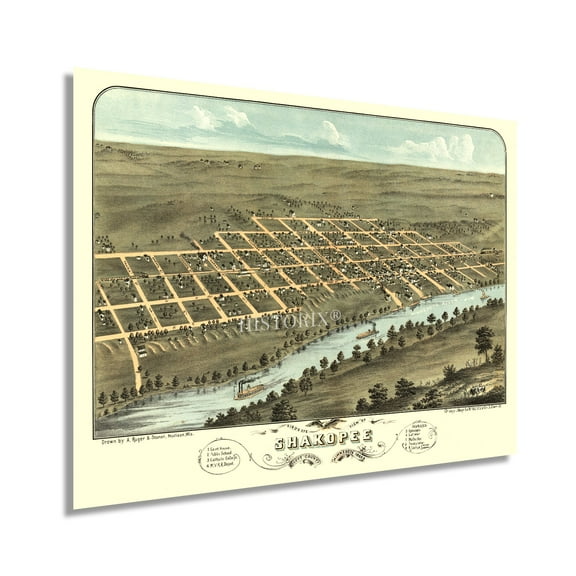
HISTORIX 1869 Shakopee Scott County Minnesota Map Vintage Poster Wall Art Print, 18 x 24 Inch $39.99
 2 optionsAvailable in additional 2 options$3999current price $39.99
HISTORIX 1869 Shakopee Scott County Minnesota Map Vintage Poster Wall Art Print, 18 x 24 Inch
HISTORIX Vintage 1652 North America Map Poster - Old Map Print of America Septentrionalis - Vintage Map of North America Wall Art Print $39.99
 2 optionsAvailable in additional 2 options$3999current price $39.99
HISTORIX Vintage 1652 North America Map Poster - Old Map Print of America Septentrionalis - Vintage Map of North America Wall Art Print
HISTORIX 1898 Railroad Map of Ohio Vintage Poster Wall Art Print, 18 x 24 Inch $39.99
 2 optionsAvailable in additional 2 options$3999current price $39.99
HISTORIX 1898 Railroad Map of Ohio Vintage Poster Wall Art Print, 18 x 24 Inch
HISTORIX Vintage 1869 Kankakee Illinois Map Poster - 18x24 Inch Old Map of Kankakee Illinois Wall Art - Bird's Eye View History Map of Illinois Poster $39.99
 2 optionsAvailable in additional 2 options$3999current price $39.99
HISTORIX Vintage 1869 Kankakee Illinois Map Poster - 18x24 Inch Old Map of Kankakee Illinois Wall Art - Bird's Eye View History Map of Illinois Poster
HISTORIX Vintage 1902 Eureka California Map Poster - 18x24 Inch Old Bird's Eye View of Eureka Humboldt County Map of California Poster Wall Art Print $39.99
 2 optionsAvailable in additional 2 options$3999current price $39.99
HISTORIX Vintage 1902 Eureka California Map Poster - 18x24 Inch Old Bird's Eye View of Eureka Humboldt County Map of California Poster Wall Art Print
HISTORIX Vintage 1889 Paducah Kentucky Map Poster - Bird's Eye View of Paducah KY Map - Vintage Map of Kentucky Poster Wall Art Print $39.99
 2 optionsAvailable in additional 2 options$3999current price $39.99
HISTORIX Vintage 1889 Paducah Kentucky Map Poster - Bird's Eye View of Paducah KY Map - Vintage Map of Kentucky Poster Wall Art Print
HISTORIX 1900 Wisconsin Map Poster Wall Art Print, 18 x 24 Inch $39.99
 2 optionsAvailable in additional 2 options$3999current price $39.99
HISTORIX 1900 Wisconsin Map Poster Wall Art Print, 18 x 24 Inch
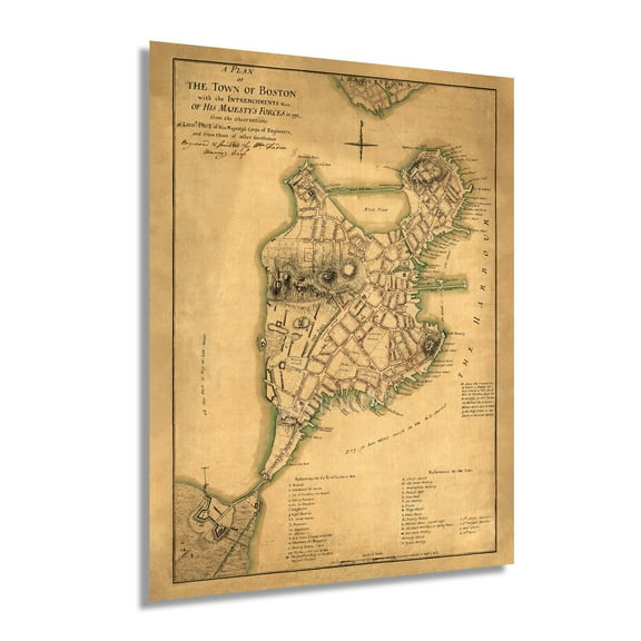
HISTORIX Vintage 1776 Boston Map Poster - Plan of Boston and Its Environs Wall Art Print - Vintage Map of Boston and Its Environs $39.99
 2 optionsAvailable in additional 2 options$3999current price $39.99
HISTORIX Vintage 1776 Boston Map Poster - Plan of Boston and Its Environs Wall Art Print - Vintage Map of Boston and Its Environs
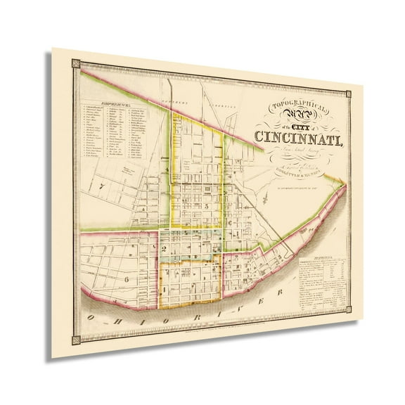
HISTORIX 1841 Cincinnati Ohio Vintage Map Poster Wall Art Print, 18 x 24 Inch $39.99
 2 optionsAvailable in additional 2 options$3999current price $39.99
HISTORIX 1841 Cincinnati Ohio Vintage Map Poster Wall Art Print, 18 x 24 Inch
HISTORIX 1881 Troy New York Map Vintage Poster Wall Art Print, 18 x 24 Inch $39.99
 2 optionsAvailable in additional 2 options$3999current price $39.99
HISTORIX 1881 Troy New York Map Vintage Poster Wall Art Print, 18 x 24 Inch
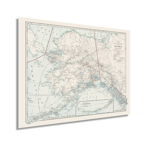
HISTORIX 1914 Map of Alaska Vintage Poster Wall Art Print, 18 x 24 Inch $39.99
 2 optionsAvailable in additional 2 options$3999current price $39.99
HISTORIX 1914 Map of Alaska Vintage Poster Wall Art Print, 18 x 24 Inch
HISTORIX 1777 Map of Boston Massachusetts Vintage Poster Wall Art Print, 18 x 24 Inch $39.99
 2 optionsAvailable in additional 2 options$3999current price $39.99
HISTORIX 1777 Map of Boston Massachusetts Vintage Poster Wall Art Print, 18 x 24 Inch
HISTORIX 1875 Clark County Indiana Map Vintage Poster Wall Art Print, 18 x 24 Inch $39.99
 2 optionsAvailable in additional 2 options$3999current price $39.99
HISTORIX 1875 Clark County Indiana Map Vintage Poster Wall Art Print, 18 x 24 Inch
HISTORIX 1893 Flat Earth Map of the World Vintage Poster Wall Art Print, 18 x 24 Inch $39.99
 2 optionsAvailable in additional 2 options$3999current price $39.99
HISTORIX 1893 Flat Earth Map of the World Vintage Poster Wall Art Print, 18 x 24 Inch
HISTORIX 1797 Map of Ireland Vintage Poster Wall Art Print, 18 x 24 Inch $39.99
 2 optionsAvailable in additional 2 options$3999current price $39.99
HISTORIX 1797 Map of Ireland Vintage Poster Wall Art Print, 18 x 24 Inch
HISTORIX 1886 Map of Chattanooga Tennessee Vintage Poster Wall Art Print, 18 x 24 Inch $39.99
 2 optionsAvailable in additional 2 options$3999current price $39.99
HISTORIX 1886 Map of Chattanooga Tennessee Vintage Poster Wall Art Print, 18 x 24 Inch
HISTORIX 1900 Mexico Vintage Map Poster Wall Art Print, 18 x 24 Inch $39.99
 2 optionsAvailable in additional 2 options$3999current price $39.99
HISTORIX 1900 Mexico Vintage Map Poster Wall Art Print, 18 x 24 Inch
Best seller 24x36 World Classic Premier 3D Wall Map Poster Paper Folded $9.99
Best seller 4 optionsAvailable in additional 4 options$999current price $9.99
24x36 World Classic Premier 3D Wall Map Poster Paper Folded
1274.4 out of 5 Stars. 127 reviewsHISTORIX 1776 Map of Southern British Colonies in America Vintage Poster Wall Art Print, 18 x 24 Inch $39.99
 2 optionsAvailable in additional 2 options$3999current price $39.99
HISTORIX 1776 Map of Southern British Colonies in America Vintage Poster Wall Art Print, 18 x 24 Inch
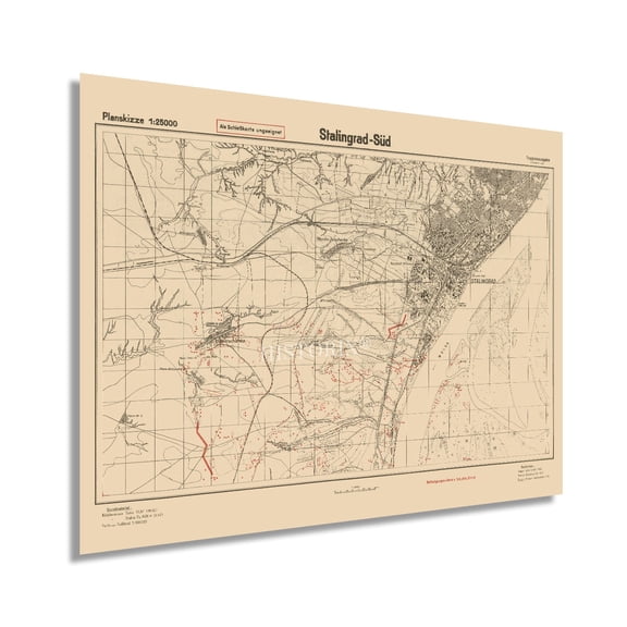
HISTORIX 1942 Stalingrad Russia Vintage Map Poster Wall Art Print, 18 x 24 Inch $39.99
 2 optionsAvailable in additional 2 options$3999current price $39.99
HISTORIX 1942 Stalingrad Russia Vintage Map Poster Wall Art Print, 18 x 24 Inch
Customer ratings & reviews

Related pages
- Interstate Highways Map
- North Georgia Map
- Cheyenne Wyoming Map
- Alabama County Map Roads
- Gatlinburg Map
- Colorado Gold Map
- National Parks Posters
- Central America Travel Books, Maps & Guides
- Midwest United States Travel Books, Maps & Guides
- General South America Travel Books, Maps & Guides
- Southern United States Travel Books, Maps & Guides
- Northeast United States Travel Books, Maps & Guides