
Hero image 0 of Garmin Bluechart G2 - HEU050R - Aland to Vyborg (microSD/SD Card), 0 of 3
Garmin Bluechart G2 - HEU050R - Aland to Vyborg (microSD/SD Card)
(No ratings yet)
Key item features
" "
Specs
- BrandGARMIN
- SeriesBlueChart g3
- Model nameBlueChart g3 - HXEU050R
- Retail packagingSingle Piece
Price when purchased online
Not Available
How do you want your item?
Not available
About this item
Product details
Garmin BlueChart® g3 - HXEU050R, Gulfs of Finland & Riga
Brand New Includes One Year Warranty
Product # 010-C0786-20 (microSD/SD™ Card)
Product # 010-C0786-10 (Datacard)
The Garmin BlueChart® g3 HXEU050R navigation software contains detailed and updated coastal coverage charts of Gulfs of Finland & Riga, with integrated Garmin and Navionics® data. The charts have up to 1 ft contours to display a more accurate, enhanced and detailed picture of the bottom structure including that of swamps, canals, and marinas. It employs Auto Guidance Technology that uses the desired depth of the user and the overhead clearance to calculate a route and suggest the user a path to follow.
BlueChart® g3 coastal charts feature up to 10 depth ranges as a part of its high-resolution Depth Range Shading, letting users clearly see their target depth. With Shallow Water Shading, the charts further allow using shading to mark shallow water depths that the user might need to avoid. NOAA Raster Cartography gives the chartplotter paper-chart-like views of NOAA-surveyed areas having point-of-interests marked with corresponding longitude and latitude information.
This map provides coverage of the Gulf of Finland from ?land to and including St. Petersburg, RU. It covers the Gulf of Riga and the northern half of Lake Preipus including coverage of the cities of Turku, Helsinki, and Kotka, FI; Vyborg, Kronshtadt and Lomonosov, RU; Tallinn, Estonia; Riga and Ventspils in Latvia.
BlueChart® g3 HXEU050R Features:
- Gulfs of Finland & Riga Digital Map
- Unparalleled Coastal Chart Coverage
- Up to 1' Detailed Contours
- More Accurate Picture of Bottom Structure
- Improved Fishing Charts & Navigation
- Enhanced Detailing in Swamps, Canals, Marinas & Port Plans - High-Resolution Depth Range Shading
- Up to 10 High-Resolution Depth Ranges
- Displays Shaded Target Depths - Shallow Water Shading
- Allows Map Shading at User-Defined Depth
- Clear Display of Shallow Waters to Avoid - Auto Guidance Technology
- Uses Desired Depth & Overhead Clearance to Calculate Route & Suggest Path to Follow - Integrated Garmin & Navionics® Data
- NOAA Raster Cartography
- Paper Chart-like Views of NOAA-Surveyed Areas
- Marked Individual Points-of-Interest
- Longitude & Latitude Information f/ Points-of-Interest
- Available As Free Download Via ActiveCaptain® App - Industry-Leading Clarity & Detailing
" "
info:
We aim to show you accurate product information. Manufacturers, suppliers and others provide what you see here, and we have not verified it.
Specifications
Brand
GARMIN
Series
BlueChart g3
Model name
BlueChart g3 - HXEU050R
Retail packaging
Single Piece
Warranty
Warranty information
One year product warranty
Similar items you might like
Based on what customers bought
Best seller Humminbird Lakemaster VX Premium Great Plains microSD $153.10
Best seller 12 optionsAvailable in additional 12 options$15310current price $153.10
Humminbird Lakemaster VX Premium Great Plains microSD
1534.2 out of 5 Stars. 153 reviewsGarmin 010C128120 Navionics Australia Northeast Marine Charts $148.06
 $14806current price $148.06
Garmin 010C128120 Navionics Australia Northeast Marine Charts
Navionics Plus NAUS008R U.S. West microSD $147.30
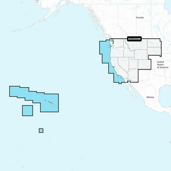 $14730current price $147.30
Navionics Plus NAUS008R U.S. West microSD
14 out of 5 Stars. 1 reviewsGarmin Huntview Plus 2024 Preprogrammed Data Card MicroSD/SD - Mississippi $90.00 Was $100.00
 $9000current price $90.00, Was $100.00$100.00
Garmin Huntview Plus 2024 Preprogrammed Data Card MicroSD/SD - Mississippi
Garmin 010C121820 South China & Andaman Seas Garmin N $147.64
 $14764current price $147.64
Garmin 010C121820 South China & Andaman Seas Garmin N
Garmin 010-C1290-00 Navionics Vision Nvus006r U.s. South $239.96
 $23996current price $239.96
Garmin 010-C1290-00 Navionics Vision Nvus006r U.s. South
Garmin Navionics Vision Nvus007r U.S. East $265.99
 $26599current price $265.99
Garmin Navionics Vision Nvus007r U.S. East
Garmin 010C125920 Greenland Garmin Navionics $156.69
 $15669current price $156.69
Garmin 010C125920 Greenland Garmin Navionics
Garmin 010C128420 Navionics New Caledonia Marine Charts $129.61
 $12961current price $129.61
Garmin 010C128420 Navionics New Caledonia Marine Charts
Garmin 010C126920 English South Coast Garmin Navioni $172.54
 $17254current price $172.54
Garmin 010C126920 English South Coast Garmin Navioni
Garmin 010C125620 France Lakes & Rivers Garmin Navio $172.54
 $17254current price $172.54
Garmin 010C125620 France Lakes & Rivers Garmin Navio
Garmin 010C124520 Oslo To Trelleborg Garmin Navionics $156.69
 $15669current price $156.69
Garmin 010C124520 Oslo To Trelleborg Garmin Navionics
Garmin Navionics NSSA012R Brazil [010-C1453-20] $142.66
![Garmin Navionics NSSA012R Brazil [010-C1453-20]](https://i5.walmartimages.com/asr/1dc1e542-fc6d-4b53-b436-0fefd5f8d14c.354b4f3bed969a947343797cd9106c62.jpeg?odnHeight=576&odnWidth=576&odnBg=FFFFFF) $14266current price $142.66
$14266current price $142.66Garmin Navionics NSSA012R Brazil [010-C1453-20]
Garmin 010C123320 Ireland West Coast Garmin Navionic $152.92
 $15292current price $152.92
Garmin 010C123320 Ireland West Coast Garmin Navionic
Garmin 010C122420 Africa East Garmin Navionics $156.69
 $15669current price $156.69
Garmin 010C122420 Africa East Garmin Navionics
Garmin 010C124720 Sweden Southeast Garmin Navionics $169.12
 $16912current price $169.12
Garmin 010C124720 Sweden Southeast Garmin Navionics
Garmin 010C123720 Spain Mediterranean Coast Garmin N $156.69
 $15669current price $156.69
Garmin 010C123720 Spain Mediterranean Coast Garmin N
Garmin 010C148220 Navionics Australia East & $237.95
 $23795current price $237.95
Garmin 010C148220 Navionics Australia East &
Garmin 010C148320 Navionics Australia West & $237.95
 $23795current price $237.95
Garmin 010C148320 Navionics Australia West &

Customer ratings & reviews
0 ratings|0 reviews
This item does not have any reviews yet
