
National Geographic Trails Illustrated M Island in the Sky District: Canyonlands National Park Map, Book 310, (Paperback)
Key item features
- National Geographic Trails Illustrated M Island in the Sky District: Canyonlands National Park Map, Book 310, (Paperback)
- Author: National Geographic Maps
- ISBN: 9781566954600
- Format: Paperback
- Publication Date: 2022-01-01
- Page Count: 2
Specs
- Book formatPaperback
- Fiction/nonfictionNon-Fiction
- GenreTravel & Nature
- Publication dateJanuary, 2022
- Pages2
- Number in series310
How do you want your item?
About this item
Product details
- Waterproof - Tear-Resistant - Topographic Map
Of the four districts in Canyonlands National Park, the Island in the Sky District is the easiest district to visit in a short period of time. National Geographic's Trails Illustrated map of Island in the Sky District combines unmatched detail with helpful information to offer an invaluable tool for making the most of your visit to this extraordinary region. Created in partnership with local land management agencies, this expertly researched map features key areas of interest including White Rim Road; Green and Colorado rivers; Murphy Point; Stillwater and Labyrinth canyons; Grand View Point; and Dead Horse Point State Park.
The map base includes contour lines and elevations for summits. Trails and roads include mileage between intersections, and river mileage is noted as well for those exploring by boat. Road types are differentiated so you know if the route you choose is a four-wheel-drive or high-clearance road. Mountain bike routes are color-coded according to difficulty. Handy trail and backcountry road summaries, and helpful information about backcountry safety, regulations, and permits is included as well. Recreation features are clearly marked, including campgrounds, picnic areas, points of interest, boat launches, and scenic overlooks.
Every Trails Illustrated map is printed on "Backcountry Tough" waterproof, tear-resistant paper. A full UTM grid is printed on the map to aid with GPS navigation.
Other features found on this map include: Canyonlands National Park, Glen Canyon National Recreation Area, Green River, Soda Springs Basin.
- Map Scale = 1:35,000
- Sheet Size = 37.75" x 25.5"
- Folded Size = 4" x 7.5"
- National Geographic Trails Illustrated M Island in the Sky District: Canyonlands National Park Map, Book 310, (Paperback)
- Author: National Geographic Maps
- ISBN: 9781566954600
- Format: Paperback
- Publication Date: 2022-01-01
- Page Count: 2
Specifications
Book format
Fiction/nonfiction
Genre
Publication date
Warranty
Warranty information
Similar items you might like
Based on what customers bought
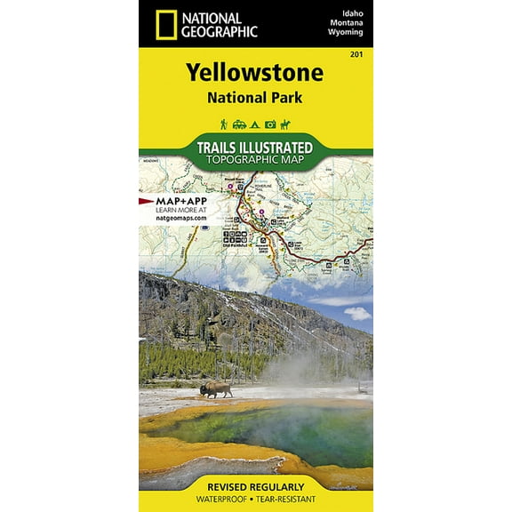
Yellowstone National Park: 9781566952958 $12.00
 $1200current price $12.00
Yellowstone National Park: 9781566952958
Best seller National Geographic Recreation Atlas, National Geographic Road Atlas 2023: Scenic Drives Edition [United States, Canada, Mexico] (Paperback) $14.56
Best seller![National Geographic Recreation Atlas, National Geographic Road Atlas 2023: Scenic Drives Edition [United States, Canada, Mexico] (Paperback)](https://i5.walmartimages.com/asr/318ea9e4-f60a-4925-be8c-97c23a63f443.89f69a6400494a554cb0e40e46014f96.jpeg?odnHeight=576&odnWidth=576&odnBg=FFFFFF) $1456current price $14.56
$1456current price $14.56National Geographic Recreation Atlas, National Geographic Road Atlas 2023: Scenic Drives Edition [United States, Canada, Mexico] (Paperback)
384.4 out of 5 Stars. 38 reviewsNational Geographic Guide Map: Texas - Folded Map $9.27
 $927current price $9.27
National Geographic Guide Map: Texas - Folded Map
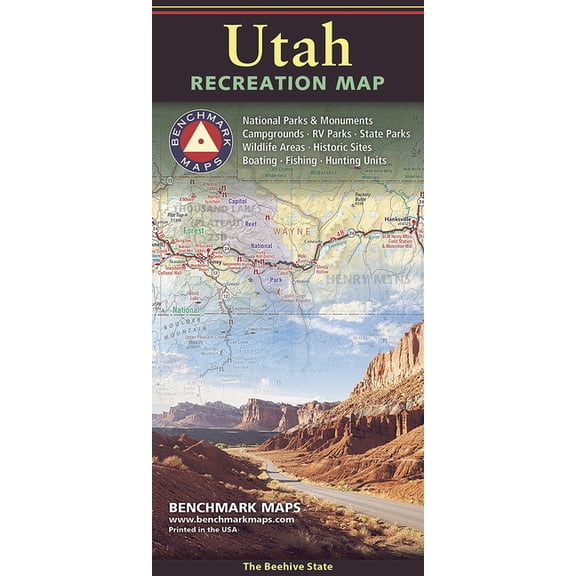
Benchmark Utah Recreation Map, (Paperback) $9.94
 $994current price $9.94
Benchmark Utah Recreation Map, (Paperback)
National Geographic Destination City Map: Dublin - Folded Map $17.44
 $1744current price $17.44
National Geographic Destination City Map: Dublin - Folded Map
Canyons of the escalante [grand staircase-escalante national monument]: 9781566953245 $13.93
![Canyons of the escalante [grand staircase-escalante national monument]: 9781566953245](https://i5.walmartimages.com/asr/7b44c879-2e2d-487e-b22c-33edd505e6a5.b8781ac0524e1a44d702d283cbaf659c.jpeg?odnHeight=576&odnWidth=576&odnBg=FFFFFF) $1393current price $13.93
$1393current price $13.93Canyons of the escalante [grand staircase-escalante national monument]: 9781566953245
Death Valley National Park (other): 9781566953214 $23.11
 $2311current price $23.11
Death Valley National Park (other): 9781566953214
National Geographic Trails Illustrated M Mount Whitney Map, Book 322, (Paperback) $19.98
 $1998current price $19.98
National Geographic Trails Illustrated M Mount Whitney Map, Book 322, (Paperback)
United States RV Road Trip Atlas 2025-2026: Complete Guide with Detailed Maps to Scenic Routes, Campgrounds, National Pa, (Paperback) $29.99
 $2999current price $29.99
United States RV Road Trip Atlas 2025-2026: Complete Guide with Detailed Maps to Scenic Routes, Campgrounds, National Pa, (Paperback)
11 out of 5 Stars. 1 reviewsAdventure map: thailand - folded map: 9781566955263 $13.93
 $1393current price $13.93
Adventure map: thailand - folded map: 9781566955263
National Geographic Trails Illustrated M Flat Tops Wilderness Gmu [Map Pack Bundle], (Paperback) $22.99
![National Geographic Trails Illustrated M Flat Tops Wilderness Gmu [Map Pack Bundle], (Paperback)](https://i5.walmartimages.com/asr/7c5064e3-0805-49fe-a097-6f7b0bc61ecc.48779f0c8a79e40ea39928477803fb2e.jpeg?odnHeight=576&odnWidth=576&odnBg=FFFFFF) $2299current price $22.99
$2299current price $22.99National Geographic Trails Illustrated M Flat Tops Wilderness Gmu [Map Pack Bundle], (Paperback)
National Geographic Reference Map: National Geographic Moon Map (Stargazer Folded) (Other) $14.95
$1495current price $14.95National Geographic Reference Map: National Geographic Moon Map (Stargazer Folded) (Other)
National Geographic Trails Illustrated M Tarryall Mountains, Kenosha Pass Map, Book 105, (Paperback) $23.79
 $2379current price $23.79
National Geographic Trails Illustrated M Tarryall Mountains, Kenosha Pass Map, Book 105, (Paperback)
National Geographic Adventure Map Canada Central Map, Book 3114, (Paperback) $25.85
 $2585current price $25.85
National Geographic Adventure Map Canada Central Map, Book 3114, (Paperback)
National Geographic Topographic Map Guide: Yosemite National Park Day Hikes Map (Series #1704) (Other cartographic) $13.93
$1393current price $13.93National Geographic Topographic Map Guide: Yosemite National Park Day Hikes Map (Series #1704) (Other cartographic)
Customer ratings & reviews

Related pages
- National Park Map
- California Field Atlas
- Map Bundle
- Road Atlas Maps
- Map Northeast
- Lonely Planet York
- Insight Guides Travel Books, Maps & Guides
- Lonely Planet Travel Books, Maps & Guides
- Rick Steves Travel Books, Maps & Guides
- General Travel Books, Maps & Guides
- Maps & Road Atlases
- Rail Travel Books, Maps & Guides