
Hero image 0 of Historic State Map - Kentucky Tennessee Counties - Hinton 1831 - Vintage Wall Art, 0 of 4
Historic State Map - Kentucky Tennessee Counties - Hinton 1831 - Vintage Wall Art
(No ratings yet)
Historic State Map - Kentucky Tennessee Counties - Hinton 1831 - Vintage Wall ArtHistoric State Map Kentucky Tennessee Counties Hinton 1831 23 x 36 21 Vintage Wall ArtHistoric State Map Kentucky Tennessee Counties Hinton 1831 Vintage Wall ArtHistoric State Map Kentucky Tennessee Counties Hinton 1831 Vintage Wall ArtHistoric State Map Kentucky Tennessee Counties Hinton 1831 23 x 36 21 Vintage Wall Art
Key item features
- OWN A STATE MAP TODAY - If you are looking for a map of your state, or another specific state, to frame and hang on your wall, then look no further! Our state maps are also great for school projects. Our maps have a variety of uses, and they come in a variety of styles. We have every state map you could need!
- STATE MAPS PROVIDE IMPORTANT INFORMATION - State maps not only show you how the different counties and/or cities are divided up and where the borders can be found within a state, but it also highlights rivers, mountains, and other natural elements. Some of them may also provide
- ONLY ACCEPT THE BEST PRINT QUALITY FOR YOUR REPRODUCTIONS - There are many printers and print types available on the market, when purchasing a reproduction there is no finer quality reproduction than a reproduction using the Giclee Printing method. Giclee describes the technique or style of printing used, and it is revered as the highest quality printing because of the way it precisely sprays ink onto a surface. Trust nothing less than the best!
- GUARANTEED TO GET EXACTLY WHAT YOU ORDERED - All of our maps come rolled, wrapped, and shipped in a heavy gauge mailing tube to ensure it arrives intact.
- WHY CHOOSE MAPS OF THE PAST? - Maps of the Past is one of the single largest producers of different types of maps. They legally own the rights to the maps they sell, and provide them to you in clean, clear, and vibrant print. If you are looking for a high quality map print, then look no further than Maps of the Past!
Specs
- ColorMulticolor
- Decor styleIndustrial
- ThemeOld State Maps
- FramedN
- ShapeRectangle
- Art typePhotography
Price when purchased online
Not Available
How do you want your item?
Not available
About this item
Product details
Old State Map - Kentucky, Tennessee Counties - Hinton 1831 - This is an exquisite full-color Reproduction printed on gloss paper or art paper.
Sites and Townships Specific To This Map Are: Henderson, Evansville, Rockport, Owensboro, Elizabethtown, London, Williamsburg, Glasgow, Bowling Green, Sevierville, Shelbyville, Lewisburg, Columbia, Lexington, Brownsville, Covington, Florence, Morgansville, Hopkinsville, Nashville, Clinton, Knoxville, and more.
The following towns are featured: counties in both states are brightly water colored. Adjoining states our outlined with color also. Waterways include Mississippi River, Ohio River, Green River, Tennessee River, Cumberland River, and others.
This Map is Situated in: Tennessee (TN) & Kentucky (KY), USA.
SKU: TNZZ0007
Original Maps are often difficult to find and usually have fold lines, identifying stamps or markings, tears, ragged edges, and assorted other natural signs of age that detract from their beauty. All of our maps have been professionally restored to depict their original beauty, while keeping all historical data intact.
These maps are fabulous pieces of history full of information useful to Historians, Genealogists, Cartographers, Relic Hunters, & Others. They make fascinating conversation pieces and splendid works of art for the home or office.
- OWN A STATE MAP TODAY - If you are looking for a map of your state, or another specific state, to frame and hang on your wall, then look no further! Our state maps are also great for school projects. Our maps have a variety of uses, and they come in a variety of styles. We have every state map you could need!
- STATE MAPS PROVIDE IMPORTANT INFORMATION - State maps not only show you how the different counties and/or cities are divided up and where the borders can be found within a state, but it also highlights rivers, mountains, and other natural elements. Some of them may also provide
- ONLY ACCEPT THE BEST PRINT QUALITY FOR YOUR REPRODUCTIONS - There are many printers and print types available on the market, when purchasing a reproduction there is no finer quality reproduction than a reproduction using the Giclee Printing method. Giclee describes the technique or style of printing used, and it is revered as the highest quality printing because of the way it precisely sprays ink onto a surface. Trust nothing less than the best!
- GUARANTEED TO GET EXACTLY WHAT YOU ORDERED - All of our maps come rolled, wrapped, and shipped in a heavy gauge mailing tube to ensure it arrives intact.
- WHY CHOOSE MAPS OF THE PAST? - Maps of the Past is one of the single largest producers of different types of maps. They legally own the rights to the maps they sell, and provide them to you in clean, clear, and vibrant print. If you are looking for a high quality map print, then look no further than Maps of the Past!
info:
We aim to show you accurate product information. Manufacturers, suppliers and others provide what you see here, and we have not verified it.
Specifications
Color
Multicolor
Decor style
Industrial
Theme
Old State Maps
Framed
N
Similar items you might like
Based on what customers bought
Historic State Map - Louisiana Surrounding Territories - Delifle 1718 - Vintage Wall Art $36.95
 $3695current price $36.95
Historic State Map - Louisiana Surrounding Territories - Delifle 1718 - Vintage Wall Art
Historic State Map - Kentucky - Putnam 1838 - 23 x 28.38 - Vintage Wall Art $94.95 $94.95/count
 $9495current price $94.95$94.95/count
Historic State Map - Kentucky - Putnam 1838 - 23 x 28.38 - Vintage Wall Art
Historic State Map - Mississippi River Fort Le Assumption - Demarigny 1743 - 23 x 26 - Vintage Wall Art $94.95
 3 optionsAvailable in additional 3 options$9495current price $94.95
Historic State Map - Mississippi River Fort Le Assumption - Demarigny 1743 - 23 x 26 - Vintage Wall Art
Historic State Map - West Virginia - Hammond 1910 - 30.37 x 23 - Vintage Wall Art $45.95 $45.95/count
 $4595current price $45.95$45.95/count
Historic State Map - West Virginia - Hammond 1910 - 30.37 x 23 - Vintage Wall Art
Stupell Industries Vintage Farm Garden Vegetables Food & Beverage Painting Unframed Art Print Wall Art, 11 x 14, Set of 4 $117.99
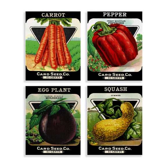 $11799current price $117.99
Stupell Industries Vintage Farm Garden Vegetables Food & Beverage Painting Unframed Art Print Wall Art, 11 x 14, Set of 4
Historic County Map - Sedgwick County Kansas - Everts 1887 - 23 x 34.23 - Vintage Wall Art $94.95 $94.95/count
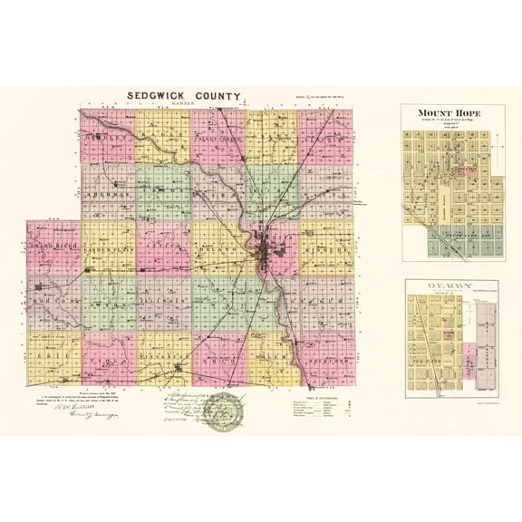 $9495current price $94.95$94.95/count
Historic County Map - Sedgwick County Kansas - Everts 1887 - 23 x 34.23 - Vintage Wall Art
Historic City Map - Hope Arkansas - Knobel 1916 - 23 x 25.75 - Vintage Wall Art $94.95 $94.95/count
 $9495current price $94.95$94.95/count
Historic City Map - Hope Arkansas - Knobel 1916 - 23 x 25.75 - Vintage Wall Art
Historic County Map - La Porte County Indiana - Kelley 1937 - 23 x 30.16 - Vintage Wall Art $94.95
 $9495current price $94.95
Historic County Map - La Porte County Indiana - Kelley 1937 - 23 x 30.16 - Vintage Wall Art
Historic County Map - Southern Counties California Geological - Fairbanks 1893 - 23 x 24.91 - Vintage Wall Art $94.95 $94.95/count
 $9495current price $94.95$94.95/count
Historic County Map - Southern Counties California Geological - Fairbanks 1893 - 23 x 24.91 - Vintage Wall Art
Historic City Map - Abilene Kansas - Everts 1887 - 23.00 x 25.64 - Vintage Wall Art $94.95 $94.95/count
 $9495current price $94.95$94.95/count
Historic City Map - Abilene Kansas - Everts 1887 - 23.00 x 25.64 - Vintage Wall Art
Stupell Industries Various Vintage Palm Leaves Floral Painting Unframed Art Print Wall Art, 11 x 14, Set of 4 $117.99
 $11799current price $117.99
Stupell Industries Various Vintage Palm Leaves Floral Painting Unframed Art Print Wall Art, 11 x 14, Set of 4
Historic State Map - North Carolina South Carolina - Johnson 1860 - 23 x 37.47 - Vintage Wall Art $94.95 $94.95/count
 3 optionsAvailable in additional 3 options$9495current price $94.95$94.95/count
Historic State Map - North Carolina South Carolina - Johnson 1860 - 23 x 37.47 - Vintage Wall Art
Stupell Industries Rustic Heirloom Laundry Bath & Laundry Painting Unframed Art Print Wall Art, 11 x 14, Set of 4 $117.99
 $11799current price $117.99
Stupell Industries Rustic Heirloom Laundry Bath & Laundry Painting Unframed Art Print Wall Art, 11 x 14, Set of 4
Historic City Map - Maysville Kentucky - Griffing 1876 - 48.38 x 23 - Vintage Wall Art $94.95 $94.95/count
 $9495current price $94.95$94.95/count
Historic City Map - Maysville Kentucky - Griffing 1876 - 48.38 x 23 - Vintage Wall Art
Historic County Map - Pendleton County South Carolina - Mills 1825 - 23 x 26.88 - Vintage Wall Art $94.95 $94.95/count
 $9495current price $94.95$94.95/count
Historic County Map - Pendleton County South Carolina - Mills 1825 - 23 x 26.88 - Vintage Wall Art
Historic County Map - Tulare County California - Thompson 1892 - 42.75 x 23 - Vintage Wall Art $94.95 $94.95/count
 $9495current price $94.95$94.95/count
Historic County Map - Tulare County California - Thompson 1892 - 42.75 x 23 - Vintage Wall Art
Historic State Map - Virginia - 1644 - 26.96 x 23 - Vintage Wall Art $94.95 $94.95/count
 3 optionsAvailable in additional 3 options$9495current price $94.95$94.95/count
Historic State Map - Virginia - 1644 - 26.96 x 23 - Vintage Wall Art
Historic State Map - North Carolina - Meyer 1845 - 23 x 27.85 - Vintage Wall Art $94.95
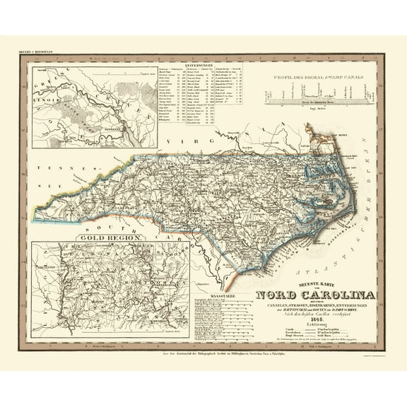 3 optionsAvailable in additional 3 options$9495current price $94.95
Historic State Map - North Carolina - Meyer 1845 - 23 x 27.85 - Vintage Wall Art
Stupell Industries Timeless Nautical Phrases Nautical & Beach Painting Unframed Art Print Wall Art, 11 x 14, Set of 4 $107.37
 $10737current price $107.37
Stupell Industries Timeless Nautical Phrases Nautical & Beach Painting Unframed Art Print Wall Art, 11 x 14, Set of 4
Historic State Map - Kansas - Mitchell 1859 - 23 x 27.80 - Vintage Wall Art $40.95 $40.95/count
 $4095current price $40.95$40.95/count
Historic State Map - Kansas - Mitchell 1859 - 23 x 27.80 - Vintage Wall Art
Customer ratings & reviews
0 ratings|0 reviews
This item does not have any reviews yet

Related pages
- Cheyenne Wyoming Map
- Map Brattleboro Vt
- Alabama County Map Roads
- Yosemite National Park Map California
- South Carolina State Maps
- Florida Map By County
- Midwest United States Travel Books, Maps & Guides
- Central America Travel Books, Maps & Guides
- Northeast United States Travel Books, Maps & Guides
- General South America Travel Books, Maps & Guides
- Western United States Travel Books, Maps & Guides
- Southern United States Travel Books, Maps & Guides