
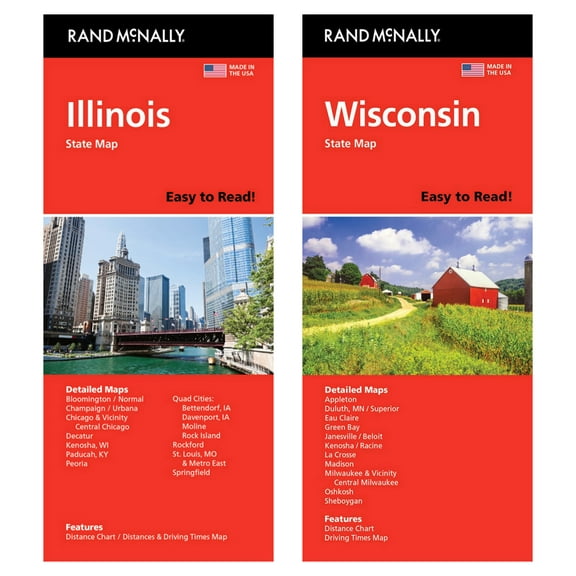
Hero image 0 of Rand McNally State Maps: Ohio and Pennsylvania (2 Maps), 0 of 1
Current price is USD$17.95
Price when purchased online
- Free 30-day returns
How do you want your item?
Columbus, 43215
Arrives by Wed, Apr 15
|Shipping fee $6.97
Sold and shipped by Bill's Bookshop, LLC
3 stars out of 5, based on 2 seller reviews(3.0)
Free 30-day returns
About this item


Customer ratings & reviews
0 ratings|0 reviews
This item does not have any reviews yet

Related pages
- Illinois Road Map
- State Michigan Map Cities
- Nc Map Counties
- Detailed Road Map Georgia
- Iowa Map
- Michigan Topographic Map
- General United States Travel Books, Maps & Guides
- Southern United States Travel Books, Maps & Guides
- Northeast United States Travel Books, Maps & Guides
- Midwest United States Travel Books, Maps & Guides
- General Canada Travel Books, Maps & Guides
- Rand McNally Travel Books, Maps & Guides