
Hero image 0 of Historic State Map - Texas Republic - US War Dept 1844 - Vintage Wall Art, 0 of 4
Historic State Map - Texas Republic - US War Dept 1844 - Vintage Wall Art
(No ratings yet)
Historic State Map - Texas Republic - US War Dept 1844 - Vintage Wall ArtHistoric State Map Texas Republic US War Dept 1844 23 x 35 Vintage Wall ArtHistoric State Map Texas Republic US War Dept 1844 Vintage Wall ArtHistoric State Map Texas Republic US War Dept 1844 23 x 35 Vintage Wall ArtHistoric State Map Texas Republic US War Dept 1844 Vintage Wall Art
Material:Matte Art
Size:23.00 x 35.33
Key item features
- OWN A STATE MAP TODAY - If you are looking for a map of your state, or another specific state, to frame and hang on your wall, then look no further! Our state maps are also great for school projects. Our maps have a variety of uses, and they come in a variety of styles. We have every state map you could need!
- STATE MAPS PROVIDE IMPORTANT INFORMATION - State maps not only show you how the different counties and/or cities are divided up and where the borders can be found within a state, but it also highlights rivers, mountains, and other natural elements. Some of them may also provide
- ONLY ACCEPT THE BEST PRINT QUALITY FOR YOUR REPRODUCTIONS - There are many printers and print types available on the market, when purchasing a reproduction there is no finer quality reproduction than a reproduction using the Giclee Printing method. Giclee describes the technique or style of printing used, and it is revered as the highest quality printing because of the way it precisely sprays ink onto a surface. Trust nothing less than the best!
- GUARANTEED TO GET EXACTLY WHAT YOU ORDERED - All of our maps come rolled, wrapped, and shipped in a heavy gauge mailing tube to ensure it arrives intact.
- WHY CHOOSE MAPS OF THE PAST? - Maps of the Past is one of the single largest producers of different types of maps. They legally own the rights to the maps they sell, and provide them to you in clean, clear, and vibrant print. If you are looking for a high quality map print, then look no further than Maps of the Past!
Specs
- ColorMulticolor
- Decor styleIndustrial
- ThemeOld State Maps
- FramedN
- ShapeRectangle
- Art typePhotography
Current price is USD$45.95$45.95/count
Price when purchased online
- Free shipping
 Free 30-day returns
How do you want your item?
Columbus, 43215
Arrives between Apr 14 - Apr 16
|Sold and shipped by Maps of the Past
4.3 stars out of 5, based on 10 seller reviews(4.3)10 seller reviews
Free 30-day returns
About this item
Product details
Old State Map - Texas Republic and adjacent Countries 1844 - This is an exquisite full-color Reproduction printed on gloss paper or art paper.
Sites and Townships Specific To This Map Are: Matamoros, Monterey, San Antonio, Harrisburg, Houston, Austin, Washington, Clarksville, Albuquerque, Santa Fe, and others.
The following towns are featured: adjacent countries include Mexico, Upper California, and the United States. Many of the Native American tribes are shown with an estimate of their population. Also included are previous explorer's routes and year such as the Trail of the Chihuahua Traders from Fulton in 1840, Gregg's Route to Santa Fe 1839 & 1840, and the Road to Santa Fe laid out in 1825 from Independence to Taos.
This Map is Situated in: Republic of Texas (TX).
SKU: TXZZ0062
Original Maps are often difficult to find and usually have fold lines, identifying stamps or markings, tears, ragged edges, and assorted other natural signs of age that detract from their beauty. All of our maps have been professionally restored to depict their original beauty, while keeping all historical data intact.
These maps are fabulous pieces of history full of information useful to Historians, Genealogists, Cartographers, Relic Hunters, & Others. They make fascinating conversation pieces and splendid works of art for the home or office.
- OWN A STATE MAP TODAY - If you are looking for a map of your state, or another specific state, to frame and hang on your wall, then look no further! Our state maps are also great for school projects. Our maps have a variety of uses, and they come in a variety of styles. We have every state map you could need!
- STATE MAPS PROVIDE IMPORTANT INFORMATION - State maps not only show you how the different counties and/or cities are divided up and where the borders can be found within a state, but it also highlights rivers, mountains, and other natural elements. Some of them may also provide
- ONLY ACCEPT THE BEST PRINT QUALITY FOR YOUR REPRODUCTIONS - There are many printers and print types available on the market, when purchasing a reproduction there is no finer quality reproduction than a reproduction using the Giclee Printing method. Giclee describes the technique or style of printing used, and it is revered as the highest quality printing because of the way it precisely sprays ink onto a surface. Trust nothing less than the best!
- GUARANTEED TO GET EXACTLY WHAT YOU ORDERED - All of our maps come rolled, wrapped, and shipped in a heavy gauge mailing tube to ensure it arrives intact.
- WHY CHOOSE MAPS OF THE PAST? - Maps of the Past is one of the single largest producers of different types of maps. They legally own the rights to the maps they sell, and provide them to you in clean, clear, and vibrant print. If you are looking for a high quality map print, then look no further than Maps of the Past!
info:
We aim to show you accurate product information. Manufacturers, suppliers and others provide what you see here, and we have not verified it.
Specifications
Color
Multicolor
Decor style
Industrial
Theme
Old State Maps
Framed
N
Warranty
Warranty information
Please be aware that the warranty terms on items offered for sale by third party Marketplace sellers may differ from those displayed in this section (if any). To confirm warranty terms on an item offered for sale by a third party Marketplace seller, please use the 'Contact seller' feature on the third party Marketplace seller's information page and request the item's warranty terms prior to purchase.
Similar items you might like
Based on what customers bought
50+ bought since yesterday Home Decor Collection Black Round Wall Art or Tabletop, White Rose Floral Print by Antoine Monnoyer with Gold Beaded Frame, Classic Decorative Artwork, 6x8 $7.83
50+ bought since yesterday $783current price $7.83
Home Decor Collection Black Round Wall Art or Tabletop, White Rose Floral Print by Antoine Monnoyer with Gold Beaded Frame, Classic Decorative Artwork, 6x8
1894.7 out of 5 Stars. 189 reviewsHistoric State Map - Louisiana - Lucas 1823 - Vintage Wall Art $36.95
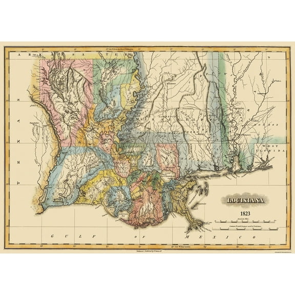 $3695current price $36.95
Historic State Map - Louisiana - Lucas 1823 - Vintage Wall Art
Stupell Industries Fresh Vivid Blossoms Floral Painting Unframed Art Print Wall Art, 12 x 12, Set of 4 $117.99
 $11799current price $117.99
Stupell Industries Fresh Vivid Blossoms Floral Painting Unframed Art Print Wall Art, 12 x 12, Set of 4
Stupell Industries Vintage Farm Garden Vegetables Food & Beverage Painting Unframed Art Print Wall Art, 11 x 14, Set of 4 $117.99
 $11799current price $117.99
Stupell Industries Vintage Farm Garden Vegetables Food & Beverage Painting Unframed Art Print Wall Art, 11 x 14, Set of 4
Historic State Map - California - 1650 - 23 x 32.68 - Vintage Wall Art $94.95
 $9495current price $94.95
Historic State Map - California - 1650 - 23 x 32.68 - Vintage Wall Art
Historic City Map - Hope Arkansas - Knobel 1916 - 23 x 25.75 - Vintage Wall Art $94.95 $94.95/count
 $9495current price $94.95$94.95/count
Historic City Map - Hope Arkansas - Knobel 1916 - 23 x 25.75 - Vintage Wall Art
Historic City Map - Abilene Kansas - Everts 1887 - 23.00 x 25.64 - Vintage Wall Art $94.95 $94.95/count
 $9495current price $94.95$94.95/count
Historic City Map - Abilene Kansas - Everts 1887 - 23.00 x 25.64 - Vintage Wall Art
Stupell Industries Blue Seashells on Beige Animals Painting Unframed Art Print Wall Art, 11 x 14, Set of 4 $117.99
 $11799current price $117.99
Stupell Industries Blue Seashells on Beige Animals Painting Unframed Art Print Wall Art, 11 x 14, Set of 4
Stupell Industries Modern Fern Impressions Plants & Flowers Painting Unframed Art Print Wall Art, 10 x 15, Set of 4 $117.99
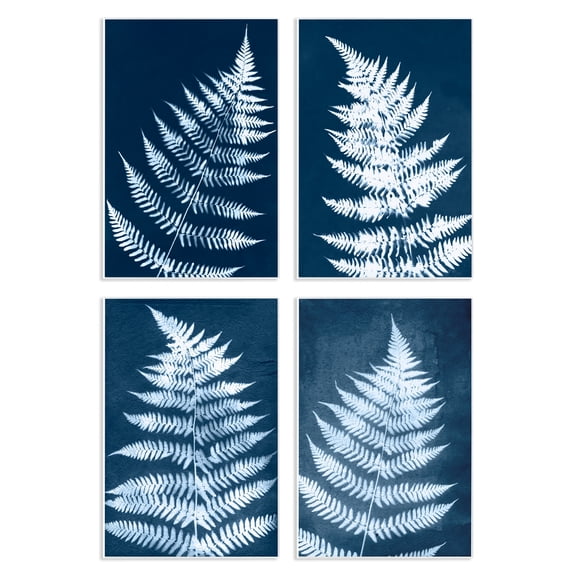 2 optionsAvailable in additional 2 options$11799current price $117.99
Stupell Industries Modern Fern Impressions Plants & Flowers Painting Unframed Art Print Wall Art, 10 x 15, Set of 4
Historic State Map - North Carolina - Morse 1845 - 23 x 29.34 - Vintage Wall Art $94.95 $94.95/count
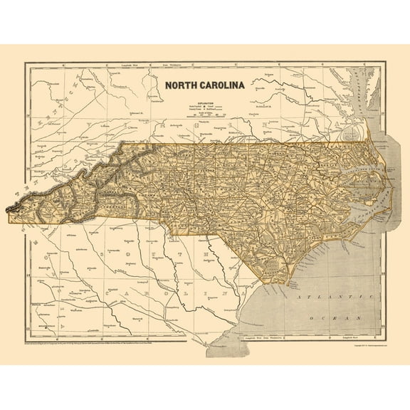 3 optionsAvailable in additional 3 options$9495current price $94.95$94.95/count
Historic State Map - North Carolina - Morse 1845 - 23 x 29.34 - Vintage Wall Art
Stupell Industries Musical Tropical Birds Entertainment Painting Unframed Art Print Wall Art, 10 x 15, Set of 4 $117.99
 2 optionsAvailable in additional 2 options$11799current price $117.99
Stupell Industries Musical Tropical Birds Entertainment Painting Unframed Art Print Wall Art, 10 x 15, Set of 4
Historic State Map - Louisiana - Tanner 1833 - 28.5 x 23 - Vintage Wall Art $94.95
 $9495current price $94.95
Historic State Map - Louisiana - Tanner 1833 - 28.5 x 23 - Vintage Wall Art
Best seller Style House 16"x 20" Contemporary Arch Framed Wall Art $13.90
Best seller 2 optionsAvailable in additional 2 options$1390current price $13.90
Style House 16"x 20" Contemporary Arch Framed Wall Art
1934.7 out of 5 Stars. 193 reviewsHistoric State Map - Kentucky - Putnam 1838 - 23 x 28.38 - Vintage Wall Art $94.95 $94.95/count
 $9495current price $94.95$94.95/count
Historic State Map - Kentucky - Putnam 1838 - 23 x 28.38 - Vintage Wall Art
Historic State Map - South Carolina - Rathbun 1893 - 23 x 28.43 - Vintage Wall Art $94.95 $94.95/count
 $9495current price $94.95$94.95/count
Historic State Map - South Carolina - Rathbun 1893 - 23 x 28.43 - Vintage Wall Art
Historic State Map - New York - Mitchell 1846 - 27.5 x 23 - Vintage Wall Art $94.95 $94.95/count
 3 optionsAvailable in additional 3 options$9495current price $94.95$94.95/count
Historic State Map - New York - Mitchell 1846 - 27.5 x 23 - Vintage Wall Art
Historic State Map - Wisconsin Territory - Mitchell 1846 - 23 x 28 - Vintage Wall Art $94.95
 3 optionsAvailable in additional 3 options$9495current price $94.95
Historic State Map - Wisconsin Territory - Mitchell 1846 - 23 x 28 - Vintage Wall Art
Historic State Map - Pennsylvania - Burr 1834 - 27.75 x 23 - Vintage Wall Art $40.95 $40.95/count
 $4095current price $40.95$40.95/count
Historic State Map - Pennsylvania - Burr 1834 - 27.75 x 23 - Vintage Wall Art
Stupell Industries Timeless Nautical Phrases Nautical & Beach Painting Unframed Art Print Wall Art, 11 x 14, Set of 4 $107.37
 $10737current price $107.37
Stupell Industries Timeless Nautical Phrases Nautical & Beach Painting Unframed Art Print Wall Art, 11 x 14, Set of 4
Historic State Map - Michigan - Burr 1831 - 23 x 27.24 - Vintage Wall Art $45.95 Was $74.95 $45.95/count
 $4595current price $45.95, Was $74.95$74.95$45.95/count
Historic State Map - Michigan - Burr 1831 - 23 x 27.24 - Vintage Wall Art
Customer ratings & reviews
0 ratings|0 reviews
This item does not have any reviews yet

Related pages
- Flag Map America
- States Stores Sacramento Ca
- Flag Map
- Arrow Map
- Washington Dc Department Stores
- Badger Map
- National Parks Posters
- World Map Wall Art
- Central America Travel Books, Maps & Guides
- Western United States Travel Books, Maps & Guides
- Midwest United States Travel Books, Maps & Guides
- Cyprus Travel Books