
Hero image 0 of Northern Michigan All Outdoors Atlas and Field Guide by Sportsman's Connection, 0 of 7
Northern Michigan All Outdoors Atlas and Field Guide by Sportsman's Connection
(No ratings yet)
Key item features
- Comprehensive coverage of all outdoor activities by Sportsman's connection
- 160 pages for outdoor info weighing only 1.5 pounds
- Highly detailed recreational maps at twice the scale of other recreational atlases
- Extensive tables, charts and editorial
- Fishing lakes and streams
- Hunting areas
- Camping spots
- Hiking trails
- Biking trails
- Snowmobile trails
- ATV trails
- Canoe and kayak routes
- Golf courses
- Scenic drives
- Isle Royal National Park
- Pictured Rocks National Lakeshore
- Sleeping Bear Dunes National Lakeshore
- Great for youth and adults
Specs
- SubjectOutdoor Activities
- FeaturesDouble-Sided, Laminated
- Size11.0" W X 15.0" H x .75" D
- BrandSportsman's Connection
- FormBooks
- Book formatSpiral-Bound Book
Current price is USD$22.40
Price when purchased online
Out of stock
How do you want your item?
Out of stock
About this item
Product details
The Northern Michigan All Outdoors Atlas and Field Guide by Sportsman's Connection contains beautiful, full-color maps at twice the scale of other regional atlases. This means four times the detail, and 100 times the information through informative charts and tables. Helpful editorial covering all of your favorite outdoor activities including fishing, hunting and camping. Plus, hiking, biking, off-roading, paddling, skiing, golfing and wildlife viewing. Special sections on Isle Royal National Park, Pictured Rocks National Lakeshore, and Sleeping Bear Dunes National Lakeshore. This large format, 11”,x 15" 176-page, spiral bound, weighing only 1.5 pounds, full-color book is your complete guide to all of the outdoor activities in the area with unmatched information including public land boundaries. Also includes hunting areas, designated use areas, access to streams and lakes, designated trout fisheries, public and private camping locations, county and state parks, state and national forests. With snowmobile, off-roading, biking, hiking and skiing trails, canoe routes, wildlife viewing destinations, scenic drives, golf courses - virtually anything and everything Northern Michigan's great outdoors has to offer. Perfect for the young adventurers and adult pros.
- Comprehensive coverage of all outdoor activities by Sportsman's connection
- 160 pages for outdoor info weighing only 1.5 pounds
- Highly detailed recreational maps at twice the scale of other recreational atlases
- Extensive tables, charts and editorial
- Fishing lakes and streams
- Hunting areas
- Camping spots
- Hiking trails
- Biking trails
- Snowmobile trails
- ATV trails
- Canoe and kayak routes
- Golf courses
- Scenic drives
- Isle Royal National Park
- Pictured Rocks National Lakeshore
- Sleeping Bear Dunes National Lakeshore
- Great for youth and adults
info:
We aim to show you accurate product information. Manufacturers, suppliers and others provide what you see here, and we have not verified it.
Specifications
Map type
GIS/GPS Land, Water and Road Maps
Subject
Outdoor Activities
Features
Double-Sided, Laminated
Size
11.0" W X 15.0" H x .75" D
Warranty
Warranty information
Please be aware that the warranty terms on items offered for sale by third party Marketplace sellers may differ from those displayed in this section (if any). To confirm warranty terms on an item offered for sale by a third party Marketplace seller, please use the 'Contact seller' feature on the third party Marketplace seller's information page and request the item's warranty terms prior to purchase.
Similar items you might like
Based on what customers bought
BIGHORN RIVER, MONTANA GPS MAP $7.95
 $795current price $7.95
BIGHORN RIVER, MONTANA GPS MAP
Rand McNally State Maps: Colorado and Montana/Wyoming (2 Maps) $17.95
 $1795current price $17.95
Rand McNally State Maps: Colorado and Montana/Wyoming (2 Maps)
4 Foot United States Map with Flags [72116] $22.99
![4 Foot United States Map with Flags [72116]](https://i5.walmartimages.com/asr/8833907b-671e-4608-ba73-103c8f1379da.18e29dae1be105a1542fd65296dfc579.jpeg?odnHeight=576&odnWidth=576&odnBg=FFFFFF) $2299current price $22.99
$2299current price $22.994 Foot United States Map with Flags [72116]
San Diego County Waterproof Dive Map $12.95
 $1295current price $12.95
San Diego County Waterproof Dive Map
Rand McNally State Maps: Idaho and Nevada (2 Maps) $17.95
 $1795current price $17.95
Rand McNally State Maps: Idaho and Nevada (2 Maps)
Rand McNally State Maps: Idaho and Oregon (2 Maps) $17.95
 $1795current price $17.95
Rand McNally State Maps: Idaho and Oregon (2 Maps)
BLUE RIVER, COLORADO GPS MAP $7.95
 $795current price $7.95
BLUE RIVER, COLORADO GPS MAP
Rand McNally State Maps: California and Nevada (2 Maps) $19.95
 $1995current price $19.95
Rand McNally State Maps: California and Nevada (2 Maps)
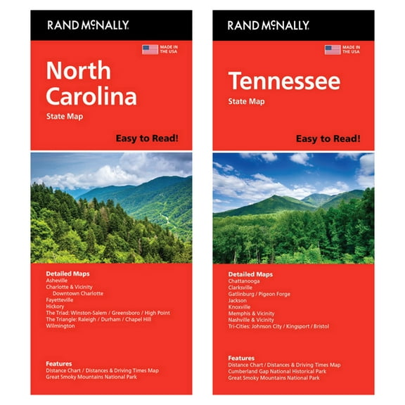
Rand McNally State Maps: North Carolina andTennessee (2 Maps) $17.95
 $1795current price $17.95
Rand McNally State Maps: North Carolina andTennessee (2 Maps)
Rand McNally State Maps: Iowa and Wisconsin (2 Maps) $17.95
 $1795current price $17.95
Rand McNally State Maps: Iowa and Wisconsin (2 Maps)
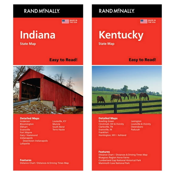
Rand McNally State Maps: Indiana and Kentucky (2 Maps) $17.95
 $1795current price $17.95
Rand McNally State Maps: Indiana and Kentucky (2 Maps)
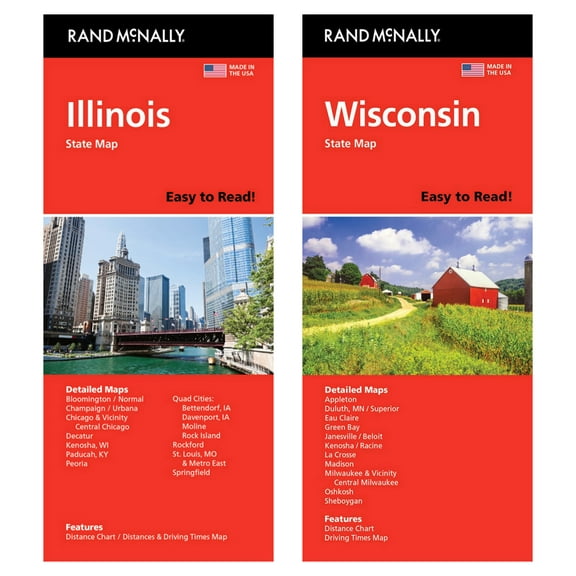
Rand McNally State Maps: Illinois and Wisconsin (2 Maps) $17.95
 $1795current price $17.95
Rand McNally State Maps: Illinois and Wisconsin (2 Maps)
Rand McNally State Maps: Pennsylvania and West Virginia (2 Maps) $17.95
 $1795current price $17.95
Rand McNally State Maps: Pennsylvania and West Virginia (2 Maps)
Rand McNally State Maps: Idaho and Washington (2 Maps) $17.95
 $1795current price $17.95
Rand McNally State Maps: Idaho and Washington (2 Maps)
BIGWOOD RIVER, IDAHO GPS MAP $7.95
 $795current price $7.95
BIGWOOD RIVER, IDAHO GPS MAP
Rand McNally State Maps: Colorado and New Mexico (2 Maps) $19.95
 $1995current price $19.95
Rand McNally State Maps: Colorado and New Mexico (2 Maps)
Rand McNally State Maps: Delaware/Maryland and Virginia (2 Maps) $17.95
 $1795current price $17.95
Rand McNally State Maps: Delaware/Maryland and Virginia (2 Maps)
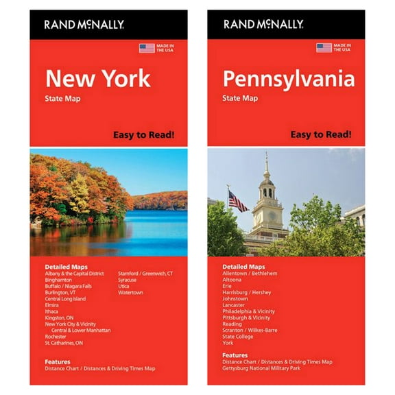
Rand McNally State Maps: New York and Pennsylvania (2 Maps) $17.95
 $1795current price $17.95
Rand McNally State Maps: New York and Pennsylvania (2 Maps)
Rand McNally State Maps: Missouri and Nebraska (2 Maps) $17.95
 $1795current price $17.95
Rand McNally State Maps: Missouri and Nebraska (2 Maps)
Rand McNally State Maps: Virginia and West Virginia (2 Maps) $17.95
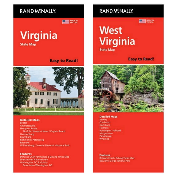 $1795current price $17.95
Rand McNally State Maps: Virginia and West Virginia (2 Maps)
Customer ratings & reviews
0 ratings|0 reviews
This item does not have any reviews yet
