Mid Atlantic Map(3)
Uses item details. Price when purchased online
24"x36" Gallery Poster, map Mid Atlantic States new jersey maryland 1970 $52.95

$5295
current price $52.9524"x36" Gallery Poster, map Mid Atlantic States new jersey maryland 1970
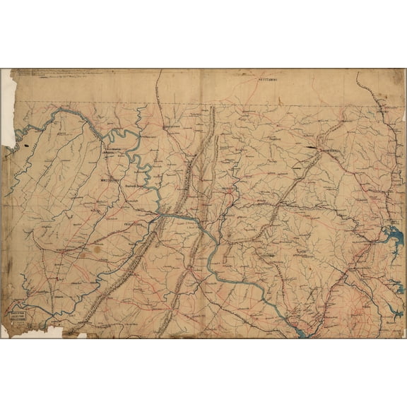
24"x36" Gallery Poster, map of mid atlantic military 1861 $52.95
$5295
current price $52.9524"x36" Gallery Poster, map of mid atlantic military 1861
Historic State Map - Middle Atlantic States - Monteith 1882 - 23 x 29.05 - Vintage Wall Art From $40.95

2 options
Available in additional 2 optionsFrom$4095
Historic State Map - Middle Atlantic States - Monteith 1882 - 23 x 29.05 - Vintage Wall Art
Other options to consider(93)
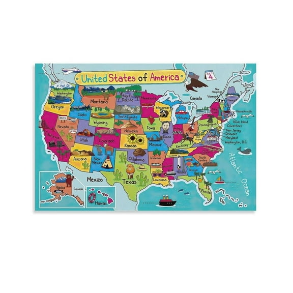
United States of America Map Poster United States Travel Guide USA Map Posterstyle From $12.99

From$1299
United States of America Map Poster United States Travel Guide USA Map Posterstyle
Historic Map - United States Eastern - Bartholomew 1892 - 30.10 x 23 - Vintage Wall Art From $40.95

From$4095
Historic Map - United States Eastern - Bartholomew 1892 - 30.10 x 23 - Vintage Wall Art
Vintage Maps 14x11 Black Modern Framed Museum Art Print Titled - Portuguese map of the East Coast of Africa 1630 From $29.99

4 options
Available in additional 4 optionsFrom$2999
Vintage Maps 14x11 Black Modern Framed Museum Art Print Titled - Portuguese map of the East Coast of Africa 1630
The Tobacco Trade. Merchants Relax While Slave S Load Barrels With Tobacco Bound For Export. Engraved Cartouche From A Map Of The Mid-Atlantic Colonies. Drawn By Joshua Fry & Peter Jefferson In 1751.

The Tobacco Trade. Merchants Relax While Slave S Load Barrels With Tobacco Bound For Export. Engraved Cartouche From A Map Of The Mid-Atlantic Colonies. Drawn By Joshua Fry & Peter Jefferson In 1751.
Historic State Map - United States Eastern - Seutter 1734 - 25.56 x 23 - Vintage Wall Art From $40.95

From$4095
Historic State Map - United States Eastern - Seutter 1734 - 25.56 x 23 - Vintage Wall Art
24"x36" Gallery Poster, Map of Florida East Coast Line railroad 1893 $52.95

$5295
current price $52.9524"x36" Gallery Poster, Map of Florida East Coast Line railroad 1893
Best seller Swiftmaps Laminated RMC Classic Edition World Wall Map Poster, 50" x 32" $19.99

$1999
current price $19.99Swiftmaps Laminated RMC Classic Edition World Wall Map Poster, 50" x 32"
304.3 out of 5 Stars. 30 reviews
Save with
Historic State Map - United States South Eastern - Mitchell 1877 - 23 x 29.02 - Vintage Wall Art From $40.95

From$4095
Historic State Map - United States South Eastern - Mitchell 1877 - 23 x 29.02 - Vintage Wall Art
24"x36" Gallery Poster, Map of discovery East Coast of United States 1856 $52.95

$5295
current price $52.9524"x36" Gallery Poster, Map of discovery East Coast of United States 1856
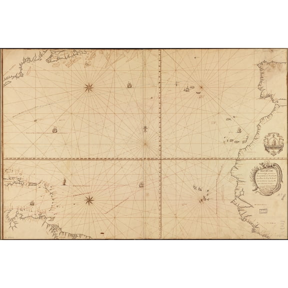
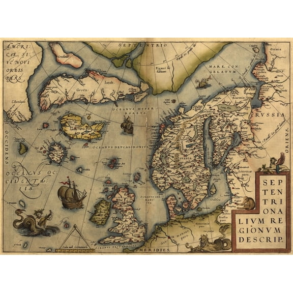
24"x36" Gallery Poster, Map of North Atlantic Ocean 1630 pre united states of america $52.95

$5295
current price $52.9524"x36" Gallery Poster, Map of North Atlantic Ocean 1630 pre united states of america
HISTORIX 1690 New England Eastern United States Map Vintage Poster Wall Art Print, 24 x 30 Inch From $39.99

2 options
Available in additional 2 optionsFrom$3999
HISTORIX 1690 New England Eastern United States Map Vintage Poster Wall Art Print, 24 x 30 Inch
24"x36" Gallery Poster, map of east coast of Florida 1898 $52.95

$5295
current price $52.9524"x36" Gallery Poster, map of east coast of Florida 1898
24"x36" Gallery Poster, map of atlantic ocean america West Indies 1768 $52.95

$5295
current price $52.9524"x36" Gallery Poster, map of atlantic ocean america West Indies 1768
Historic Map - Eastern United States Canada - Stieler 1885 - 28.09 x 23 - Vintage Wall Art From $40.95

2 options
Available in additional 2 optionsFrom$4095
Historic Map - Eastern United States Canada - Stieler 1885 - 28.09 x 23 - Vintage Wall Art
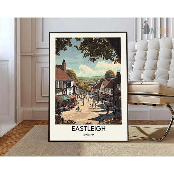
Eastleigh Hampshire England City Map Wall Art Travel Decor Print, Unframed Paper Poster 8x10in From $18.99
5 options
Available in additional 5 optionsFrom$1899
Eastleigh Hampshire England City Map Wall Art Travel Decor Print, Unframed Paper Poster 8x10in
24"x36" Gallery Poster, map of north atlantic ocean 1756 in spanish $52.95
$5295
current price $52.9524"x36" Gallery Poster, map of north atlantic ocean 1756 in spanish
Vintage Maps 12x14 Black Modern Framed Museum Art Print Titled - Eastern USA 1844 From $29.99

4 options
Available in additional 4 optionsFrom$2999
Vintage Maps 12x14 Black Modern Framed Museum Art Print Titled - Eastern USA 1844
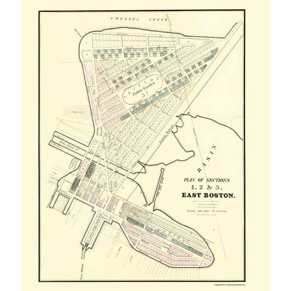
Historic City Map - East Boston Massachusetts - Pendleton 1834 - 23 x 26.91 - Vintage Wall Art From $40.95
From$4095
Historic City Map - East Boston Massachusetts - Pendleton 1834 - 23 x 26.91 - Vintage Wall Art
24"x36" Gallery Poster, map of north atlantic ocean 1772 in french $52.95

$5295
current price $52.9524"x36" Gallery Poster, map of north atlantic ocean 1772 in french
24"x36" Gallery Poster, map of Eastern United States of America 1911 $52.95

$5295
current price $52.9524"x36" Gallery Poster, map of Eastern United States of America 1911
Historic Nautical Map - New England Coast - Des Barres 1776 - 23 x 32.46 - Vintage Wall Art From $40.95

2 options
Available in additional 2 optionsFrom$4095
Historic Nautical Map - New England Coast - Des Barres 1776 - 23 x 32.46 - Vintage Wall Art
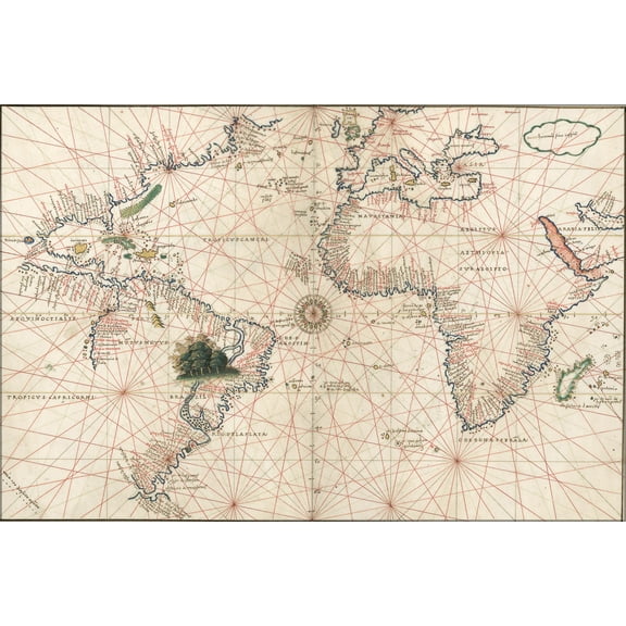
24"x36" Gallery Poster, Map of atlantic ocean and america 1544 $52.95
$5295
current price $52.9524"x36" Gallery Poster, Map of atlantic ocean and america 1544
Historic State Map - United States Eastern - Mitchell 1877 - 23 x 28.31 - Vintage Wall Art From $40.95

2 options
Available in additional 2 optionsFrom$4095
Historic State Map - United States Eastern - Mitchell 1877 - 23 x 28.31 - Vintage Wall Art
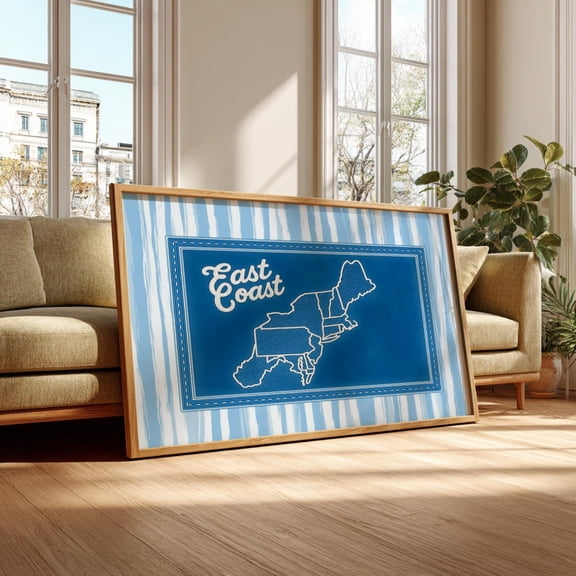
East Coast Poster – Northeast Map Print, Nautical New England Decor, Coastal Typography,, Unframed Poster Size 8x12 F03.1.22l973 From $19.99
4 options
Available in additional 4 optionsFrom$1999
East Coast Poster – Northeast Map Print, Nautical New England Decor, Coastal Typography,, Unframed Poster Size 8x12 F03.1.22l973
Christopher Colombus 1436-1506 - Trans-Atlantic Map - Vintage Pictorial Map by Lucien Boucher c.1927 - Master Art Print 10in x 14in From $14.98

19 options
Available in additional 19 optionsFrom$1498
Christopher Colombus 1436-1506 - Trans-Atlantic Map - Vintage Pictorial Map by Lucien Boucher c.1927 - Master Art Print 10in x 14in
Historic Map - Eastern Central America - Gardiner 1755 - 23 x 29.80 - Vintage Wall Art Was $74.95
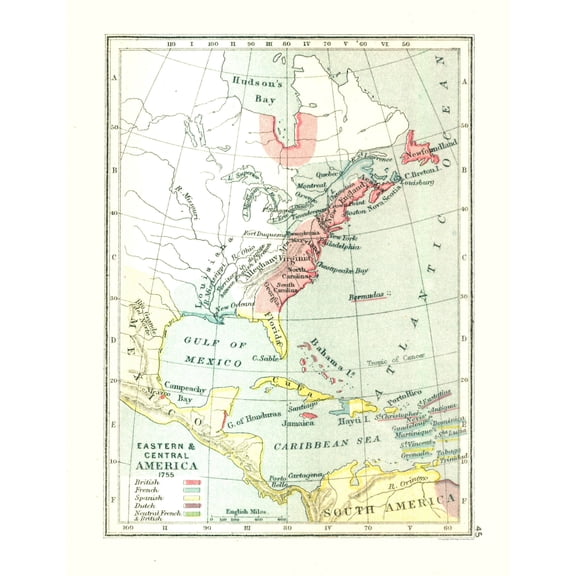
Historic Map - Eastern Central America - Gardiner 1755 - 23 x 29.80 - Vintage Wall Art
Railroad Map - Florida East Coast Railway - Florida East Coast Steamship 1898 - 23 x 27 - Vintage Wall Art From $40.95

From$4095
Railroad Map - Florida East Coast Railway - Florida East Coast Steamship 1898 - 23 x 27 - Vintage Wall Art
1570 Map Of Northwest Europe And The North Atlantic Ocean. From Abraham Ortelius' Atlas History From $32.83
2 options
Available in additional 2 optionsFrom$3283
1570 Map Of Northwest Europe And The North Atlantic Ocean. From Abraham Ortelius' Atlas History
Historic State Map - American Eastern Seaboard - 1730 - 23 x 28.5 - Vintage Wall Art From $40.95

From$4095
Historic State Map - American Eastern Seaboard - 1730 - 23 x 28.5 - Vintage Wall Art
Historic Nautical Map - New England Coast - 1776 - 23 x 32.81 - Vintage Wall Art From $40.95

2 options
Available in additional 2 optionsFrom$4095
Historic Nautical Map - New England Coast - 1776 - 23 x 32.81 - Vintage Wall Art
Historic Nautical Map - Atlantic Ocean - Perthes 1914 - 23 x 25.89 - Vintage Wall Art From $40.95

2 options
Available in additional 2 optionsFrom$4095
Historic Nautical Map - Atlantic Ocean - Perthes 1914 - 23 x 25.89 - Vintage Wall Art
Historic State Map - United States Eastern - Weik 1855 - 23 x 28.13 - Vintage Wall Art From $40.95

From$4095
Historic State Map - United States Eastern - Weik 1855 - 23 x 28.13 - Vintage Wall Art
Historic Nautical Map - South Eastern States Roads - Rand McNally 1923 - 23 x 43.81 - Vintage Wall Art From $40.95

From$4095
Historic Nautical Map - South Eastern States Roads - Rand McNally 1923 - 23 x 43.81 - Vintage Wall Art
Historic Print, NJ Atlantic Highlands 1894 MAP, 16" x 20" From $80.00

2 options
Available in additional 2 optionsFrom$8000
Historic Print, NJ Atlantic Highlands 1894 MAP, 16" x 20"
Historic Map - United States North Eastern - Bartholomew 1892 - 30.68 x 23 - Vintage Wall Art From $40.95

2 options
Available in additional 2 optionsFrom$4095
Historic Map - United States North Eastern - Bartholomew 1892 - 30.68 x 23 - Vintage Wall Art
Historic Map - Greece North East - De L'isle 1731 - 31.14 x 23 - Vintage Wall Art From $40.95

2 options
Available in additional 2 optionsFrom$4095
Historic Map - Greece North East - De L'isle 1731 - 31.14 x 23 - Vintage Wall Art
Historic Nautical Map - North Atlantic Ocean in Winter - Perthes 1914 - 26.20 x 23 - Vintage Wall Art From $40.95

2 options
Available in additional 2 optionsFrom$4095
Historic Nautical Map - North Atlantic Ocean in Winter - Perthes 1914 - 26.20 x 23 - Vintage Wall Art
Popular in Mid Atlantic Map
Related Products
Lake Bled Slovenia Art Print: Vintage Travel Poster, Pastel Landscape, Unframed Canvas Size 8x12
 Lake Bled Slovenia Art Print: Vintage Travel Poster, Pastel Landscape, Unframed Canvas Size 8x12$24.99current price $24.99
Komodo National Park Art Print: Tropical Wildlife Illustration, Unframed Poster Size 8x12
 Komodo National Park Art Print: Tropical Wildlife Illustration, Unframed Poster Size 8x12$19.99current price $19.99
Historic Mine Map - Los Angeles California Geologic Sheet - Jennings 1959 - Vintage Wall Art
 Historic Mine Map - Los Angeles California Geologic Sheet - Jennings 1959 - Vintage Wall Art$40.95current price $40.95
Art.com Low Angle View of Big Ben and Houses of Parliament, City of Westminster, London, England Photographic Print, 12" x 18"
 Art.com Low Angle View of Big Ben and Houses of Parliament, City of Westminster, London, England Photographic Print, 12" x 18"$19.00current price $19.00
UNITED STATES MAP GLOSSY POSTER PICTURE PHOTO - 2025 Retro Color Map of United States USA Updated With Gulf of America and Mount McKinley Cool Wall Art Print Poster
 UNITED STATES MAP GLOSSY POSTER PICTURE PHOTO - 2025 Retro Color Map of United States USA Updated With Gulf of America and Mount McKinley Cool Wall Art Print Poster$5.57current price $5.57
Large Icebergs on Tasman Glacier Terminal Lake South Island New Zealand Poster Print by David Noyes
 Large Icebergs on Tasman Glacier Terminal Lake South Island New Zealand Poster Print by David Noyes$26.89current price $26.89
Sequoia & Kings Canyon National Parks Hand-Drawn Map - Authentic 18x24 Vintage-Style Wall Art - Lithographic Print with Soy-Based Inks - Made in USA
 Sequoia & Kings Canyon National Parks Hand-Drawn Map - Authentic 18x24 Vintage-Style Wall Art - Lithographic Print with Soy-Based Inks - Made in USA$37.26current price $37.26
Historic Map - West Midlands England - Bartholomew 1892 - 23 x 30.41 - Vintage Wall Art
 Historic Map - West Midlands England - Bartholomew 1892 - 23 x 30.41 - Vintage Wall Art$45.95current price $45.95
Map of Ladysmith & Surrounding Heights Circa. 1900 From The Book South Africa & The Transvaal War by Louis Creswicke Published 1900 Poster Print, 26 x 32 - Large
 Map of Ladysmith & Surrounding Heights Circa. 1900 From The Book South Africa & The Transvaal War by Louis Creswicke Published 1900 Poster Print, 26 x 32 - Large$69.76current price $69.76
Posterazzi PDDAU02DWA0246 Auckland Harbour Bridge New Zealand Poster Print by David Wall - 27 x 19 in.
 Posterazzi PDDAU02DWA0246 Auckland Harbour Bridge New Zealand Poster Print by David Wall - 27 x 19 in.$44.81current price $44.81
Xplorer Maps Chesapeake Bay Hand-Drawn Map Print - Authentic 18x24 Inch Vintage-Style Wall Art - Lithographic Print with Soy-Based Inks - Made In USA
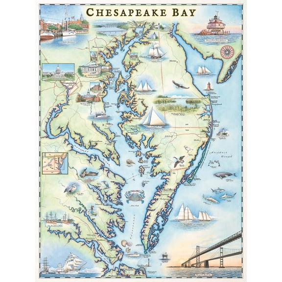 Xplorer Maps Chesapeake Bay Hand-Drawn Map Print - Authentic 18x24 Inch Vintage-Style Wall Art - Lithographic Print with Soy-Based Inks - Made In USA$37.26current price $37.26
Historic Mine Map - Nevada Lincoln County Bristol Silver Mine - USGS 1953 - 24.03 x 23 - Vintage Wall Art
 Historic Mine Map - Nevada Lincoln County Bristol Silver Mine - USGS 1953 - 24.03 x 23 - Vintage Wall Art$40.95current price $40.95
Historic Map - Westminster Abbey London - Bartholomew 1921 - 23 x 30.96 - Vintage Wall Art
 Historic Map - Westminster Abbey London - Bartholomew 1921 - 23 x 30.96 - Vintage Wall Art$40.95current price $40.95
Great BIG Canvas | Rolled Michael Tompsett Poster Print entitled Louisiana Watercolor Map
 Great BIG Canvas | Rolled Michael Tompsett Poster Print entitled Louisiana Watercolor Map$80.99current price $80.99
Historic Map - Tasmania Australia - Cram 1892 - 28.77 x 23 - Vintage Wall Art
 Historic Map - Tasmania Australia - Cram 1892 - 28.77 x 23 - Vintage Wall Art$45.95current price $45.95
Historic Map - Alberta Canada - Reynold 1921 - 23 x 32.68 - Vintage Wall Art
 Historic Map - Alberta Canada - Reynold 1921 - 23 x 32.68 - Vintage Wall Art$40.95current price $40.95