Henry Map(9)
Uses item details. Price when purchased online
Historic County Map - Henry County Illinois - Warner 1870 - Vintage Wall Art From $36.95

2 options
Available in additional 2 optionsFrom$3695
Historic County Map - Henry County Illinois - Warner 1870 - Vintage Wall Art
Tanner, Henry 14x12 Black Modern Framed Museum Art Print Titled - Map of North and South Carolina, 1823 From $29.99

4 options
Available in additional 4 optionsFrom$2999
Tanner, Henry 14x12 Black Modern Framed Museum Art Print Titled - Map of North and South Carolina, 1823
Historic County Map - Henry Rock Island Mercer Counties Illinois - Campbell 1870 From $36.95

2 options
Available in additional 2 optionsFrom$3695
Historic County Map - Henry Rock Island Mercer Counties Illinois - Campbell 1870
Popple, Henry 12x12 Black Modern Framed Museum Art Print Titled - A Map of The British Empire In America From $29.99

4 options
Available in additional 4 optionsFrom$2999
Popple, Henry 12x12 Black Modern Framed Museum Art Print Titled - A Map of The British Empire In America
Historic County Map - Henry County Indiana - Andreas 1876 - Vintage Wall Art From $36.95

2 options
Available in additional 2 optionsFrom$3695
Historic County Map - Henry County Indiana - Andreas 1876 - Vintage Wall Art
1939 New York World’s Fair City Map - Vintage Pictorial Map by Henry Stahlhut - Master Art Print (Unframed) 9in x 12in From $14.98

18 options
Available in additional 18 optionsFrom$1498
1939 New York World’s Fair City Map - Vintage Pictorial Map by Henry Stahlhut - Master Art Print (Unframed) 9in x 12in
Historic Map - France Henry V 1415 Campaign - Gardiner 1902 - Vintage Wall Art From $36.95

2 options
Available in additional 2 optionsFrom$3695
Historic Map - France Henry V 1415 Campaign - Gardiner 1902 - Vintage Wall Art
Map of North and South Carolina, 1823 2x Matted 24x20 Black Ornate Framed Art Print by Tanner, Henry $99.99

$9999
current price $99.99Map of North and South Carolina, 1823 2x Matted 24x20 Black Ornate Framed Art Print by Tanner, Henry
Popple, Henry 12x12 Black Modern Framed Museum Art Print Titled - America Septentrionalis A Map of the British Empire in America, 1733 From $29.99

4 options
Available in additional 4 optionsFrom$2999
Popple, Henry 12x12 Black Modern Framed Museum Art Print Titled - America Septentrionalis A Map of the British Empire in America, 1733
Other options to consider(37)
Historical Civil War Map - Fort Donelson Fort Henry Tennessee - McPherson 1862 - Vintage Wall Art From $36.95

2 options
Available in additional 2 optionsFrom$3695
Historical Civil War Map - Fort Donelson Fort Henry Tennessee - McPherson 1862 - Vintage Wall Art
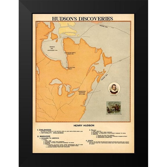
Vintage Maps 11x14 Black Modern Framed Museum Art Print Titled - Henry Hudsons Discoveries From $29.99
4 options
Available in additional 4 optionsFrom$2999
Vintage Maps 11x14 Black Modern Framed Museum Art Print Titled - Henry Hudsons Discoveries
Rogers, Henry Darwin 14x12 Black Modern Framed Museum Art Print Titled - Geological map of the United States, 1856 From $29.99

4 options
Available in additional 4 optionsFrom$2999
Rogers, Henry Darwin 14x12 Black Modern Framed Museum Art Print Titled - Geological map of the United States, 1856
Historic War Map - Fort William Henry Lake George Plan - Eyre 1750 - Vintage Wall Art From $36.95

2 options
Available in additional 2 optionsFrom$3695
Historic War Map - Fort William Henry Lake George Plan - Eyre 1750 - Vintage Wall Art
Posterazzi Map Illustrating The Welsh Wars of William Rufus & Henry I From The Book Short History of The English People by J.R. Green Published London 1893 Poster Print, 22 x 36 - Large

Posterazzi Map Illustrating The Welsh Wars of William Rufus & Henry I From The Book Short History of The English People by J.R. Green Published London 1893 Poster Print, 22 x 36 - Large
20x30 Poster; Pony Express Map, By William Henry Jackson, 1861 $28.95

$2895
current price $28.9520x30 Poster; Pony Express Map, By William Henry Jackson, 1861
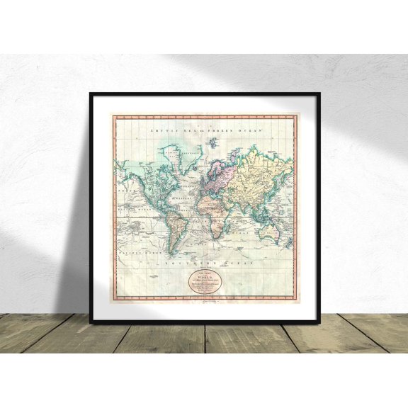
Map Of The Western Hemisphere America Polynesia John Cary Square Vintage Maps Old Maps Unframed Paper Print From $18.99

5 options
Available in additional 5 optionsFrom$1899
Map Of The Western Hemisphere America Polynesia John Cary Square Vintage Maps Old Maps Unframed Paper Print
Historical Civil War Map - Port Hudson Louisiana - Tomlinson 1863 - Vintage Wall Art From $36.95

2 options
Available in additional 2 optionsFrom$3695
Historical Civil War Map - Port Hudson Louisiana - Tomlinson 1863 - Vintage Wall Art
Topographical Map - Jefferson Ohio Quad - USGS 1907 - Vintage Wall Art From $36.95

2 options
Available in additional 2 optionsFrom$3695
Topographical Map - Jefferson Ohio Quad - USGS 1907 - Vintage Wall Art
Historic County Map- Harrison County Texas - General Land Office 1871 - Vintage Wall Art From $36.95

2 options
Available in additional 2 optionsFrom$3695
Historic County Map- Harrison County Texas - General Land Office 1871 - Vintage Wall Art
Historical Civil War Map - Shiloh Tennessee Battlefield - Sneden 1862 - Vintage Wall Art From $36.95

2 options
Available in additional 2 optionsFrom$3695
Historical Civil War Map - Shiloh Tennessee Battlefield - Sneden 1862 - Vintage Wall Art
Railroad Map - Port Arthur Route Uncle Sam and Search Light - Hornbeck 1896 From $36.95

2 options
Available in additional 2 optionsFrom$3695
Railroad Map - Port Arthur Route Uncle Sam and Search Light - Hornbeck 1896
Wayne 1806 Map Boston Ma Environs War Seige 8X8 Inch Square Wooden Framed Wall Art Print Picture with Mount

4 options
Available in additional 4 optionsWayne 1806 Map Boston Ma Environs War Seige 8X8 Inch Square Wooden Framed Wall Art Print Picture with Mount
24"x36" Gallery Poster, Pony Express map, by William Henry Jackson, 1861 $52.95

$5295
current price $52.9524"x36" Gallery Poster, Pony Express map, by William Henry Jackson, 1861
Topographical Map - Denmark Ohio Quad - USGS 1961 - Vintage Wall Art From $36.95

2 options
Available in additional 2 optionsFrom$3695
Topographical Map - Denmark Ohio Quad - USGS 1961 - Vintage Wall Art
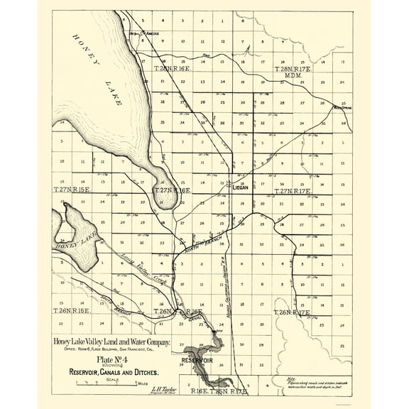
Historic Nautical Map - Honey Lake - Taylor 1891 - Vintage Wall Art From $36.95
2 options
Available in additional 2 optionsFrom$3695
Historic Nautical Map - Honey Lake - Taylor 1891 - Vintage Wall Art
Historical Civil War Map - Mississippi River Island Number 10 New Madrid - Hoelcke 1862 From $36.95

2 options
Available in additional 2 optionsFrom$3695
Historical Civil War Map - Mississippi River Island Number 10 New Madrid - Hoelcke 1862
Historic County Map - Menard County Texas - General Land Office 1871 - Vintage Wall Art From $36.95

2 options
Available in additional 2 optionsFrom$3695
Historic County Map - Menard County Texas - General Land Office 1871 - Vintage Wall Art
Map Of Spain And Portugal John Cary Square Vintage Maps Geography Travel Unframed Paper Print From $18.99

5 options
Available in additional 5 optionsFrom$1899
Map Of Spain And Portugal John Cary Square Vintage Maps Geography Travel Unframed Paper Print
Map Of Ireland John Cary Square Vintage Maps Geography Travel Country Map Unframed Paper Print From $18.99

4 options
Available in additional 4 optionsFrom$1899
Map Of Ireland John Cary Square Vintage Maps Geography Travel Country Map Unframed Paper Print
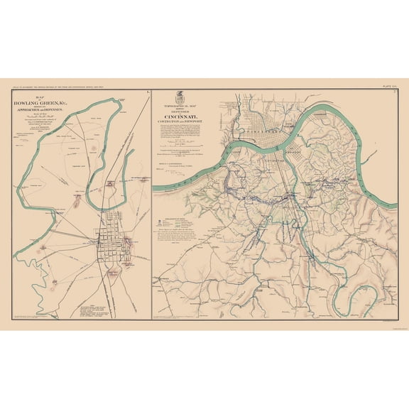
Historical Civil War Map - Kentucky Ohio Approaches Defenses - Bien 1894 - Vintage Wall Art From $36.95
2 options
Available in additional 2 optionsFrom$3695
Historical Civil War Map - Kentucky Ohio Approaches Defenses - Bien 1894 - Vintage Wall Art
Allen, Candace 14x12 Black Modern Framed Museum Art Print Titled - Vintage World Map 1 From $29.99

4 options
Available in additional 4 optionsFrom$2999
Allen, Candace 14x12 Black Modern Framed Museum Art Print Titled - Vintage World Map 1
Historic War Map - Monterey Saltillo General Taylor - Appleton 1892 - Vintage Wall Art From $36.95

2 options
Available in additional 2 optionsFrom$3695
Historic War Map - Monterey Saltillo General Taylor - Appleton 1892 - Vintage Wall Art
Historic City Map - Fresno Northern California - Thomas 1892 - Vintage Wall Art From $36.95

2 options
Available in additional 2 optionsFrom$3695
Historic City Map - Fresno Northern California - Thomas 1892 - Vintage Wall Art
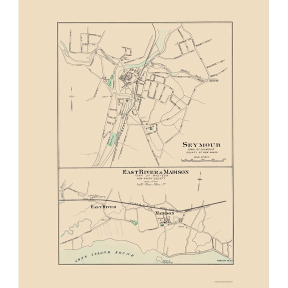
Historic City Map - Seymour East River Madison Connecticut - Hurd 1893 - Vintage Wall Art From $36.95
2 options
Available in additional 2 optionsFrom$3695
Historic City Map - Seymour East River Madison Connecticut - Hurd 1893 - Vintage Wall Art
Historic City Map - White Plains Harrison Rye New York - Bien 1893 - Vintage Wall Art From $36.95

2 options
Available in additional 2 optionsFrom$3695
Historic City Map - White Plains Harrison Rye New York - Bien 1893 - Vintage Wall Art
Historic Map - Hainaut Province Belgium - Visscher 1681 - Vintage Wall Art From $36.95

2 options
Available in additional 2 optionsFrom$3695
Historic Map - Hainaut Province Belgium - Visscher 1681 - Vintage Wall Art
Map Of The World On Mercator Projection John Cary Square Vintage Maps Travel Decor Unframed Paper Print From $18.99
5 options
Available in additional 5 optionsFrom$1899
Map Of The World On Mercator Projection John Cary Square Vintage Maps Travel Decor Unframed Paper Print
Historic Print, RAINEY, HENRY T. HONORABLE - 5, 18" x 24" From $57.00

2 options
Available in additional 2 optionsFrom$5700
Historic Print, RAINEY, HENRY T. HONORABLE - 5, 18" x 24"
Seney, John 14x11 White Modern Wood Framed Museum Art Print Titled - World Map with Figural Representations of the Worlds Peoples From $29.99

4 options
Available in additional 4 optionsFrom$2999
Seney, John 14x11 White Modern Wood Framed Museum Art Print Titled - World Map with Figural Representations of the Worlds Peoples
Bombardment of Fort Henry, Tennessee on the Mississippi-Fine Art Canvas Print (20" x 30") $105.00

$10500
current price $105.00Bombardment of Fort Henry, Tennessee on the Mississippi-Fine Art Canvas Print (20" x 30")
Popular in Henry Map
Related Products
The Histomap - 4,000 Years of World History on One Print
 The Histomap - 4,000 Years of World History on One Print$58.25current price $58.25
Landmass Scratch Off World Map Poster Print, 17 x 24 inches
 Landmass Scratch Off World Map Poster Print, 17 x 24 inches$25.99current price $25.99
Map Showing The Gradual Advance of The Barbarian Nations Drawn & Engraved by W. Hughes Poster Print
 Map Showing The Gradual Advance of The Barbarian Nations Drawn & Engraved by W. Hughes Poster Print$23.07current price $23.07
2021 Standard Time Zones of the World Map Poster Map of the World Time Zones Wall Art - Time Zone Map of the World Poster
 2021 Standard Time Zones of the World Map Poster Map of the World Time Zones Wall Art - Time Zone Map of the World Poster$17.51current price $17.51
HISTORIX 1942 Stalingrad Russia Vintage Map Poster Wall Art Print, 24 x 36 Inch
 HISTORIX 1942 Stalingrad Russia Vintage Map Poster Wall Art Print, 24 x 36 Inch$59.99current price $59.99
HISTORIX 2021 Standard Time Zones of the World Map Poster Wall Art Print, 24 x 36 Inch
 HISTORIX 2021 Standard Time Zones of the World Map Poster Wall Art Print, 24 x 36 Inch$59.99current price $59.99
Posterazzi Map of German South-West Africa At Beginning of First World War From the Great World War A History Volume III Publishe 2 Poster Print - 24 x 34
 Posterazzi Map of German South-West Africa At Beginning of First World War From the Great World War A History Volume III Publishe 2 Poster Print - 24 x 34$68.94current price $68.94
431 National Park System Units Map 24x36 Poster
 431 National Park System Units Map 24x36 Poster$31.97current price $31.97
24"x36" Gallery Poster, mars map by Giovanni Schiaparelli
 24"x36" Gallery Poster, mars map by Giovanni Schiaparelli$52.95current price $52.95
Iconic Arts Laminated 26x24 Poster: Resource Map - The Geography of The Middle East, Geoff Emberling
Iconic Arts Laminated 26x24 Poster: Resource Map - The Geography of The Middle East, Geoff Emberling
24"x36" Gallery Poster, cia map of the middle east 1991
 24"x36" Gallery Poster, cia map of the middle east 1991$52.95current price $52.95
Iconic Arts Laminated 24x29 Poster: Middle East Physical Map with Key - Images Galleries with A Bite
Iconic Arts Laminated 24x29 Poster: Middle East Physical Map with Key - Images Galleries with A Bite
Great BIG Canvas | Rolled Michael Tompsett Poster Print entitled World Map made up of vintage postcards
 Great BIG Canvas | Rolled Michael Tompsett Poster Print entitled World Map made up of vintage postcards$74.99current price $74.99
24"x36" Gallery Poster, cia Map of southern hemisphere antarctica 1961
 24"x36" Gallery Poster, cia Map of southern hemisphere antarctica 1961$52.95current price $52.95