Sort by|
Antarctic Map(1)
Uses item details. Price when purchased online
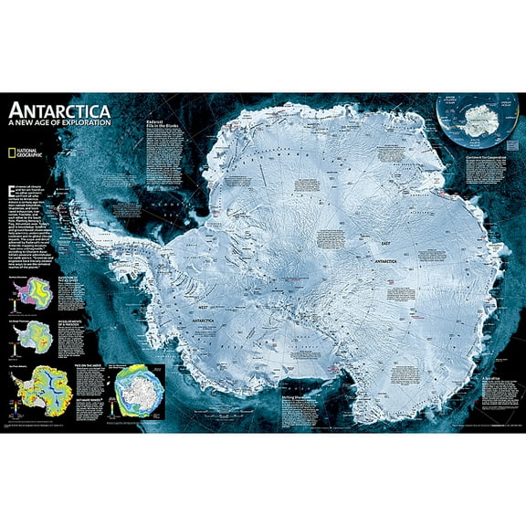
National Geographic Antarctica Satellite Map, Laminated, 31.25" x 20.25" $29.95
$2995
current price $29.95National Geographic Antarctica Satellite Map, Laminated, 31.25" x 20.25"
Other options to consider(7)
Adventure Atlas Arctic Region World Map 36 x 36 Mercator's Septentrionalium Terrarum Descriptio $39.95

$3995
current price $39.95Adventure Atlas Arctic Region World Map 36 x 36 Mercator's Septentrionalium Terrarum Descriptio
Antique Map Price Guide No. 7: Printed Maps of Australia, New Zealand, Pacific, Antarctica, 1589-1850., (Paperback) $27.50

$2750
current price $27.50From $27.50
Antique Map Price Guide No. 7: Printed Maps of Australia, New Zealand, Pacific, Antarctica, 1589-1850., (Paperback)
Of Maps and Men: The Mysterious Discovery of Antarctica (Paperback) $9.95

$995
current price $9.95Of Maps and Men: The Mysterious Discovery of Antarctica (Paperback)
Conguillio National Park Trekking/Hiking/Walking Topographic Map Atlas Chile Temuco Araucania Laguna Captren Sierra Nevada Llaima Volcano 1: 25000: Tr $16.53

$1653
current price $16.53Conguillio National Park Trekking/Hiking/Walking Topographic Map Atlas Chile Temuco Araucania Laguna Captren Sierra Nevada Llaima Volcano 1: 25000: Tr
National Geographic Trails Illustrated M Winter Park Map [Local Trails], Book 604, (Paperback) $12.79
![National Geographic Trails Illustrated M Winter Park Map [Local Trails], Book 604, (Paperback)](https://i5.walmartimages.com/seo/National-Geographic-Trails-Illustrated-M-Winter-Park-Map-Local-Trails-Book-604-Paperback-9781566958196_f9143d68-1cad-45e5-8c57-03f0b3a4c6d7.5d3b0ef3fe72c2ab03cfc6af933da110.jpeg?odnHeight=576&odnWidth=576&odnBg=FFFFFF)
$1279
current price $12.79National Geographic Trails Illustrated M Winter Park Map [Local Trails], Book 604, (Paperback)
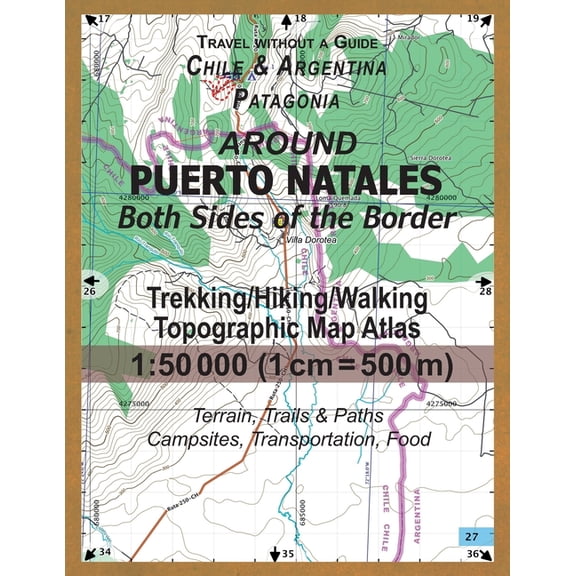
Around Puerto Natales Both Sides of the Border Trekking/Hiking/Walking Topographic Map Atlas 1 : 50000 (1cm=500m) Chile & Argentina Patagonia 2017 Terrain, Trails & Paths, Campsite $14.95
$1495
current price $14.95Around Puerto Natales Both Sides of the Border Trekking/Hiking/Walking Topographic Map Atlas 1 : 50000 (1cm=500m) Chile & Argentina Patagonia 2017 Terrain, Trails & Paths, Campsite
Report on the Maps and Surveys (Paperback) $17.95

$1795
current price $17.95Report on the Maps and Surveys (Paperback)
Related Products
Historic Map - World Planisphere Physical - De L'isle 1756 - Vintage Wall Art
 Historic Map - World Planisphere Physical - De L'isle 1756 - Vintage Wall Art$45.95current price $45.95
Historic Map - Planisphere Discoveries - Drioux 1882 - Vintage Wall Art
 Historic Map - Planisphere Discoveries - Drioux 1882 - Vintage Wall Art$40.95current price $40.95