
Hero image 0 of Historic County Map - Parker County Texas - General Land Office 1889 - 23 x 25.48 - Vintage Wall Art, 0 of 5
Historic County Map - Parker County Texas - General Land Office 1889 - 23 x 25.48 - Vintage Wall Art
(No ratings yet)
Historic County Map - Parker County Texas - General Land Office 1889 - 23 x 25.48 - Vintage Wall ArtHistoric County Map Parker County Texas General Land Office 1889 23 x 25 48 Vintage Wall ArtHistoric County Map Parker County Texas General Land Office 1889 23 x 25 48 Vintage Wall Art
Material:Matte Art
Key item features
- HISTORICAL LOCAL MAPS MAKE GREAT WALL ART - Ever wonder what your country looked like during the early days of the USA? Well now you can find out! Maps of the Past provides maps from various time periods so you can track the history of your local city or town. These gorgiously detailed maps make for a great piece of art for your home or office. Own a piece of art and history today!
- LOCAL MAPS PROVIDE IMPORTANT INFORMATION - Local maps show you how the borders of a local are established and were they can be found. It also highlights rivers, mountains, and other natural element you may not know are there. Local maps can also show you transportation lanes across your local
- ONLY ACCEPT THE BEST PRINT QUALITY FOR YOUR REPRODUCTIONS - There are many printers and print types available on the market, when purchasing a reproduction there is no finer quality reproduction than a reproduction using the Giclee Printing method. Giclee describes the technique or style of printing used, and it is revered as the highest quality printing because of the way it precisely sprays ink onto a surface. Trust nothing less than the best!
- GUARNANTEED TO GET EXACTLY WHAT YOU ORDERED - This map comes exactly to the specification of 23.00 x 25.47 inches/58.42 X 64.69 cm. All of our maps come rolled, wrapped, and shipped in a heavy gauge mailing tube to ensure it arrives intact.
- WHY CHOOSE MAPS OF THE PAST? - Maps of the Past is one of the single largest producers of different types of maps. They legally own the rights to the maps they sell, and provide them to you in clean, clear, and vibrant print. If you are looking for a high quality map print, then look no further than Maps of the Past!
Specs
- Size23.00 x 25.47
- MaterialMatte Art
- Decor styleVintage
- ThemeHistorical County Maps
- ShapeRectangle
- Rec. roomOffice
Current price is USDNow $45.95
You save $29.00
was $74.95$74.95
You save$29.00
Price when purchased online
- Free shipping
 Free 30-day returns
How do you want your item?
Columbus, 43215
Arrives between Feb 28 - Mar 3
|Sold and shipped by Maps of the Past
4.3 stars out of 5, based on 10 seller reviews(4.3)10 seller reviews
Free 30-day returns
About this item
Product details
Old County Maps - Parker County Texas - 1889 - This is an exquisite full-color Reproduction printed on high-quality gloss paper, art paper or canvas.
Print Size: 23.00 x 25.47 inches
58.42 X 64.69cm
The following towns are featured: Weatherford.
This Map is Situated in: Parker County.
SKU: TXPA0007
Original Maps are often difficult to find and usually have fold lines, identifying stamps or markings, tears, ragged edges, and assorted other natural signs of age that detract from their beauty. All of our maps have been professionally restored to depict their original beauty, while keeping all historical data intact.
These maps are fabulous pieces of history full of information useful to Historians, Genealogists, Cartographers, Relic Hunters, & Others. They make fascinating conversation pieces and splendid works of art for the home or office.
- HISTORICAL LOCAL MAPS MAKE GREAT WALL ART - Ever wonder what your country looked like during the early days of the USA? Well now you can find out! Maps of the Past provides maps from various time periods so you can track the history of your local city or town. These gorgiously detailed maps make for a great piece of art for your home or office. Own a piece of art and history today!
- LOCAL MAPS PROVIDE IMPORTANT INFORMATION - Local maps show you how the borders of a local are established and were they can be found. It also highlights rivers, mountains, and other natural element you may not know are there. Local maps can also show you transportation lanes across your local
- ONLY ACCEPT THE BEST PRINT QUALITY FOR YOUR REPRODUCTIONS - There are many printers and print types available on the market, when purchasing a reproduction there is no finer quality reproduction than a reproduction using the Giclee Printing method. Giclee describes the technique or style of printing used, and it is revered as the highest quality printing because of the way it precisely sprays ink onto a surface. Trust nothing less than the best!
- GUARNANTEED TO GET EXACTLY WHAT YOU ORDERED - This map comes exactly to the specification of 23.00 x 25.47 inches/58.42 X 64.69 cm. All of our maps come rolled, wrapped, and shipped in a heavy gauge mailing tube to ensure it arrives intact.
- WHY CHOOSE MAPS OF THE PAST? - Maps of the Past is one of the single largest producers of different types of maps. They legally own the rights to the maps they sell, and provide them to you in clean, clear, and vibrant print. If you are looking for a high quality map print, then look no further than Maps of the Past!
info:
We aim to show you accurate product information. Manufacturers, suppliers and others provide what you see here, and we have not verified it.
Specifications
Size
23.00 x 25.47
Material
Matte Art
Decor style
Vintage
Theme
Historical County Maps
Warranty
Warranty information
Please be aware that the warranty terms on items offered for sale by third party Marketplace sellers may differ from those displayed in this section (if any). To confirm warranty terms on an item offered for sale by a third party Marketplace seller, please use the 'Contact seller' feature on the third party Marketplace seller's information page and request the item's warranty terms prior to purchase.
Similar items you might like
Based on what customers bought
Historic County Map - Alleghany County Virginia - 1879 - 25.15 x 23 - Vintage Wall Art $40.95
 3 optionsAvailable in additional 3 options$4095current price $40.95
Historic County Map - Alleghany County Virginia - 1879 - 25.15 x 23 - Vintage Wall Art
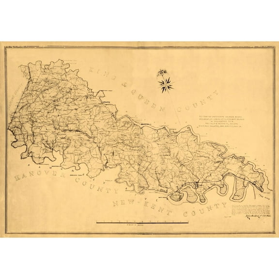
Historic County Map - King William County Virginia - Gilmer 1865 - 32.67 x 23 - Vintage Wall Art $40.95 $40.95/count
 3 optionsAvailable in additional 3 options$4095current price $40.95$40.95/count
Historic County Map - King William County Virginia - Gilmer 1865 - 32.67 x 23 - Vintage Wall Art
Historic County Map - Darlington County South Carolina - Tanner 1825 - 23 x 23.32 - Vintage Wall Art $40.95
 3 optionsAvailable in additional 3 options$4095current price $40.95
Historic County Map - Darlington County South Carolina - Tanner 1825 - 23 x 23.32 - Vintage Wall Art
Historic State Map - Pennsylvania - Hammond 1903 - 31.61 x 23 - Vintage Wall Art $40.95 $40.95/count
 3 optionsAvailable in additional 3 options$4095current price $40.95$40.95/count
Historic State Map - Pennsylvania - Hammond 1903 - 31.61 x 23 - Vintage Wall Art
Historic County Map - Jack County Texas - Wise 1878 - 23 x 25.15 - Vintage Wall Art $40.95
 3 optionsAvailable in additional 3 options$4095current price $40.95
Historic County Map - Jack County Texas - Wise 1878 - 23 x 25.15 - Vintage Wall Art
Historic County Map - Bandera County Texas - Walsh 1879 - 39.43 x 23 - Vintage Wall Art $40.95
 3 optionsAvailable in additional 3 options$4095current price $40.95
Historic County Map - Bandera County Texas - Walsh 1879 - 39.43 x 23 - Vintage Wall Art
Historic County Map - Fauquier County Virginia - Hotchkiss 1863 - 23 x 31.44 - Vintage Wall Art $40.95
 3 optionsAvailable in additional 3 options$4095current price $40.95
Historic County Map - Fauquier County Virginia - Hotchkiss 1863 - 23 x 31.44 - Vintage Wall Art
Historic State Map - Texas Northern - Walling 1872 - 29.71 x 23 - Vintage Wall Art $40.95 $40.95/count
 3 optionsAvailable in additional 3 options$4095current price $40.95$40.95/count
Historic State Map - Texas Northern - Walling 1872 - 29.71 x 23 - Vintage Wall Art
Historic City Map - Goshen Connecticut - Woodford 1852 - 23 x 28.58 - Vintage Wall Art $40.95 $40.95/count
 3 optionsAvailable in additional 3 options$4095current price $40.95$40.95/count
Historic City Map - Goshen Connecticut - Woodford 1852 - 23 x 28.58 - Vintage Wall Art
Historic County Map - Tarrant County Texas - Gast 1870 - 23 x 28.81 - Vintage Wall Art $40.95 $40.95/count
 3 optionsAvailable in additional 3 options$4095current price $40.95$40.95/count
Historic County Map - Tarrant County Texas - Gast 1870 - 23 x 28.81 - Vintage Wall Art
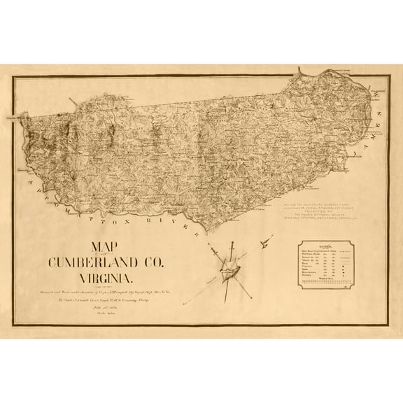
Historic County Map - Cumberland County Virginia - Campbell 1864 - 33.73 x 23 - Vintage Wall Art $40.95
 3 optionsAvailable in additional 3 options$4095current price $40.95
Historic County Map - Cumberland County Virginia - Campbell 1864 - 33.73 x 23 - Vintage Wall Art
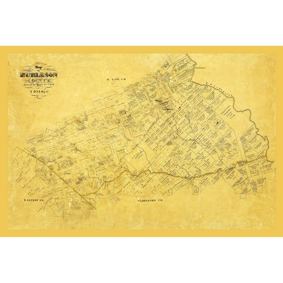
Historic County Map - Burleson County Texas - Martin 1856 - 34.04 x 23 - Vintage Wall Art $40.95 $40.95/count
 3 optionsAvailable in additional 3 options$4095current price $40.95$40.95/count
Historic County Map - Burleson County Texas - Martin 1856 - 34.04 x 23 - Vintage Wall Art
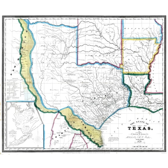
Historic State Map - Texas - David Burr 1845 - 27.48 x 23 - Vintage Wall Art $40.95 $40.95/count
 3 optionsAvailable in additional 3 options$4095current price $40.95$40.95/count
Historic State Map - Texas - David Burr 1845 - 27.48 x 23 - Vintage Wall Art
Historic County Map - Zavalla County Texas - Walsh 1879 - 28.84 x 23 - Vintage Wall Art $40.95 $40.95/count
 3 optionsAvailable in additional 3 options$4095current price $40.95$40.95/count
Historic County Map - Zavalla County Texas - Walsh 1879 - 28.84 x 23 - Vintage Wall Art
Historic State Map - Utah - Johnson 1888 - 23 x 28.26 - Vintage Wall Art $40.95 $40.95/count
 3 optionsAvailable in additional 3 options$4095current price $40.95$40.95/count
Historic State Map - Utah - Johnson 1888 - 23 x 28.26 - Vintage Wall Art
Historic County Map - Adams County Pennsylvania - Hopkins 1858 - 31.39 x 23 - Vintage Wall Art $40.95 $40.95/count
 3 optionsAvailable in additional 3 options$4095current price $40.95$40.95/count
Historic County Map - Adams County Pennsylvania - Hopkins 1858 - 31.39 x 23 - Vintage Wall Art
Historic State Map - Texas - Young 1850 - 28.32 x 23 - Vintage Wall Art $40.95
 3 optionsAvailable in additional 3 options$4095current price $40.95
Historic State Map - Texas - Young 1850 - 28.32 x 23 - Vintage Wall Art
Historic State Map - Arkansas - Alden 1886 - 23 x 34.91 - Vintage Wall Art $40.95
 3 optionsAvailable in additional 3 options$4095current price $40.95
Historic State Map - Arkansas - Alden 1886 - 23 x 34.91 - Vintage Wall Art
Historic County Map - Johnson County Texas - General Land Office 1887 - 24.14 x 23 - Vintage Wall Art $40.95 $40.95/count
 3 optionsAvailable in additional 3 options$4095current price $40.95$40.95/count
Historic County Map - Johnson County Texas - General Land Office 1887 - 24.14 x 23 - Vintage Wall Art
Historic County Map - Hunt County Texas - Lucas 1873 - 23 x 33.45 - Vintage Wall Art $40.95
 3 optionsAvailable in additional 3 options$4095current price $40.95
Historic County Map - Hunt County Texas - Lucas 1873 - 23 x 33.45 - Vintage Wall Art
Customer ratings & reviews
0 ratings|0 reviews
This item does not have any reviews yet

Related pages
- Northampton County Pa Map
- Council Bluffs Iowa Map
- Kentucky Counties Map
- Akron Ohio Map
- Houston Texas Map
- Council Bluffs Map
- National Parks Posters
- Central America Travel Books, Maps & Guides
- Ontario Travel Books, Maps & Guides
- Western United States Travel Books, Maps & Guides
- Northeast United States Travel Books, Maps & Guides
- General South America Travel Books, Maps & Guides