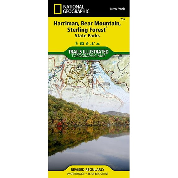
National Geographic Trails Illustrated M Harriman, Bear Mountain, Sterling Forest State Parks Map, Book 756, (Paperback)
(No ratings yet)
Current price is USD$24.39
Price when purchased online
- Free shipping
- Free 30-day returns
How do you want your item?
Columbus, 43215
Arrives between Feb 13 - Feb 19
|Sold and shipped by Rarewaves.com
4.204571871367687 stars out of 5, based on 2581 seller reviews(4.2)
Free 30-day returns
About this item
| Product | Viewing this item |
|---|
![National Geographic Trails Illustrated Map: Baxter State Park Map [Mount Katahdin, Katahdin Iron Works] (Other)](https://i5.walmartimages.com/asr/cfd75de3-bf8b-4e6e-a563-67778c8d5512.01f09eafc1601ee548e239d5b342dac6.jpeg?odnHeight=208&odnWidth=208&odnBg=FFFFFF)
| Map type | HikingNational Geographic Trails Illustrated M Harriman, Bear Mountain, Sterling Forest State Parks Map, Book 756, (Paperback) | Topographic MapsNational Geographic Trails Illustrated Map: Baxter State Park Map [Mount Katahdin, Katahdin Iron Works] (Other) |
|---|---|---|
| Subject | MapsNational Geographic Trails Illustrated M Harriman, Bear Mountain, Sterling Forest State Parks Map, Book 756, (Paperback) | -National Geographic Trails Illustrated Map: Baxter State Park Map [Mount Katahdin, Katahdin Iron Works] (Other) |
| Features | WaterproofNational Geographic Trails Illustrated M Harriman, Bear Mountain, Sterling Forest State Parks Map, Book 756, (Paperback) | WaterproofNational Geographic Trails Illustrated Map: Baxter State Park Map [Mount Katahdin, Katahdin Iron Works] (Other) |
| Size | 37.75" x 25.5"National Geographic Trails Illustrated M Harriman, Bear Mountain, Sterling Forest State Parks Map, Book 756, (Paperback) | -National Geographic Trails Illustrated Map: Baxter State Park Map [Mount Katahdin, Katahdin Iron Works] (Other) |
Now hiding additional rows in the Table


![National Geographic Trails Illustrated Map: Appalachian Trail, Delaware Water Gap to Schaghticoke Mountain [new Jersey, New York] - Folded Map](https://i5.walmartimages.com/seo/National-Geographic-Trails-Illustrated-Map-Appalachian-Trail-Delaware-Water-Gap-to-Schaghticoke-Mountain-new-Jersey-New-York-Folded-Map-9781597756457_42182641-1db1-4c4c-a2b3-da2ef05838fb.425333689abe5ddcf6011b3a47bd6b5c.jpeg?odnHeight=576&odnWidth=576&odnBg=FFFFFF)


![National Geographic Trails Illustrated Map: Utah National Parks [map Pack Bundle] - Folded Map](https://i5.walmartimages.com/asr/f643bc2b-cf01-4f3b-9c8b-1e71dceb4575.ab11c8df52d145932fc94b23ab3d84e6.jpeg?odnHeight=576&odnWidth=576&odnBg=FFFFFF)


Customer ratings & reviews
0 ratings|0 reviews
This item does not have any reviews yet

Related pages
- Yellowstone National Park Hikes
- Indiana National Forest
- Wisconsin Mammals
- Olympic National Park Best Hikes
- Northern California Towns
- Overland Trails Map
- Hikes & Walks Travel Books, Maps & Guides
- Western Canadian Provinces Travel Books, Maps & Guides
- Polar Regions Travel Books, Maps & Guides
- Road Travel Books, Maps & Guides
- Rough Guides Travel Books, Maps & Guides
- Rail Travel Books, Maps & Guides