
1888 Indiana State Map - Vintage Map of Indiana Wall Art - Vintage Indiana Map Poster with County, City, Town and Railroad Map - Indiana Wall Map
Key item features
- Size: 18 x 24 Inches
- Museum-quality giclee print
- Printed using archival ink on premium heavyweight acid-free matte paper
- Shipped in a sturdy cardboard tube
- Makes a perfect gift
Specs
- Size18" x 24"
- ThemeVintage
- FramedY
- BrandHISTORIX
- Photo paper finish configurationMatte
- Pieces1
- Free shipping
 Free 30-day returns
How do you want your item?
About this item
Product details
Feature Points
- VINTAGE MAP REPRODUCTION: You’ll love this high quality historic reproduction of 1888 Indiana State Map. Our museum quality maps are archival grade, which means it will look great and last without fading for over 100 years. Our print to order maps are made in the USA and each map is inspected for quality. This beautiful artwork is a perfect addition to your themed decor. Vintage maps look great in the home, study or office. They make a perfect gift as well.
- MUSEUM QUALITY: This high quality map print will be a great addition to your vintage-themed wall. Don't waste money on cheap-looking, thin paper posters. We use thick, fine art print quality matte paper. Our professional’s choice matte paper displays artwork in high detail without glare. The color is vibrant and text is easy to read. When framed, this map looks absolutely stunning.
- A LOOK BACK AT HISTORY: This is an impressive, historic reproduction of 1888 Indiana State Map. This print is from an original found in the maps and geography division of the US Library of Congress. A true piece of history. See our product description section for more fascinating information about this historic map and its significance.
- READY TO FRAME: This print includes a 0.2 inch border for a perfect frame fit and look. Our maps are designed to fit easy-to-find standard frame sizes, saving you money from having to pay for a custom frame. Each map is inspected for quality and shipped in a rigid tube.
- HISTORIX: We love history and art. Sometimes old maps have tears, folds, separations and other blemishes. We digitally restore and enhance maps while keeping its historical character. All our maps are proudly made in the USA. Customers all over the world love our vintage maps and we know you will too.
Additional Information
Initially published in 1888, this Railway map was produced by one of the most well-known 19th-century map makers George Cram. Cram’s company went on to become the first American company to release a World Atlas in 1901. This incredibly detailed illustration provided a wealth of information for merchants and residents alike and is a unique link to life as an American in the mid-1800s.
Before the Railway system was completed in 1865, the Mississippi River was the primary form of transit for exporting goods out of Indiana via the Wabash and Ohio River. The Railways became necessary for the northern regions of Indiana, especially in the 1880s, when a natural gas boom transformed the economy and spurred massive growth and population expansions. At the time, the Indiana Gas Field was the largest in the world. By allowing east-west transport, the Railways were Indiana’s connection to the rest of the nation, and the links permitted the state economy to thrive.
The rails carried a romance of the time, and in the mid-1850s, Indiana was rapidly building tracks with young men enamored with a life outside of the agrarian establishment. Indianapolis became known as “The City of Railroads,” with seven railroads converging in the city. Following the conclusion of the Civil War, the rail line became a useful tool for passengers as well as freight and interurban travel. This map was published the same year as the completion of the new Union Station in Indianapolis.
Our museum quality Indiana Map Art comes printed with archival ink on premium heavyweight matte paper. Shipped in a sturdy cardboard tube your Indiana Poster will arrive ready to be framed. This eye-catching print makes the perfect gift for anyone that loves history and imagery.
- Size: 18 x 24 Inches
- Museum-quality giclee print
- Printed using archival ink on premium heavyweight acid-free matte paper
- Shipped in a sturdy cardboard tube
- Makes a perfect gift
Specifications
Size
Theme
Framed
Brand
Warranty
Warranty information
Similar items you might like
Based on what customers bought
HISTORIX Vintage 1869 Kankakee Illinois Map Poster - 18x24 Inch Old Map of Kankakee Illinois Wall Art - Bird's Eye View History Map of Illinois Poster $39.99
 2 optionsAvailable in additional 2 options$3999current price $39.99
HISTORIX Vintage 1869 Kankakee Illinois Map Poster - 18x24 Inch Old Map of Kankakee Illinois Wall Art - Bird's Eye View History Map of Illinois Poster
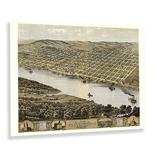
HISTORIX Vintage 1869 Leavenworth Kansas Map Print - 18x24 Inch Vintage Bird's Eye View of Leavenworth City Map of Kansas State Wall Art Poster $39.99
 3 optionsAvailable in additional 3 options$3999current price $39.99
HISTORIX Vintage 1869 Leavenworth Kansas Map Print - 18x24 Inch Vintage Bird's Eye View of Leavenworth City Map of Kansas State Wall Art Poster
HISTORIX Vintage 1891 Great Falls Montana Map Poster - 18x24 Inch Bird's Eye View of Great Falls City Montana Map Wall Art - Old Wall Map of Montana $39.99
 2 optionsAvailable in additional 2 options$3999current price $39.99
HISTORIX Vintage 1891 Great Falls Montana Map Poster - 18x24 Inch Bird's Eye View of Great Falls City Montana Map Wall Art - Old Wall Map of Montana
HISTORIX Vintage 1902 Eureka California Map Poster - 18x24 Inch Old Bird's Eye View of Eureka Humboldt County Map of California Poster Wall Art Print $39.99
 2 optionsAvailable in additional 2 options$3999current price $39.99
HISTORIX Vintage 1902 Eureka California Map Poster - 18x24 Inch Old Bird's Eye View of Eureka Humboldt County Map of California Poster Wall Art Print
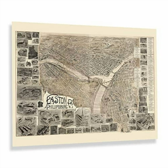
HISTORIX Vintage 1900 Easton Pennsylvania & Phillipsburg New Jersey Map Print - 18x24 Inch Bird's Eye View of Easton PA & Phillipsburg NJ Map Poster $39.99
 2 optionsAvailable in additional 2 options$3999current price $39.99
HISTORIX Vintage 1900 Easton Pennsylvania & Phillipsburg New Jersey Map Print - 18x24 Inch Bird's Eye View of Easton PA & Phillipsburg NJ Map Poster
HISTORIX Vintage 1868 Iowa City Map - 18x24 Inch Bird's Eye View History Map of Iowa Poster - Old Iowa City Johnson County Iowa Map Poster Print $39.99
 2 optionsAvailable in additional 2 options$3999current price $39.99
HISTORIX Vintage 1868 Iowa City Map - 18x24 Inch Bird's Eye View History Map of Iowa Poster - Old Iowa City Johnson County Iowa Map Poster Print
HISTORIX Vintage 1890 Map of Linguistic Stocks of American Indians Poster - Vintage Map of North America Wall Art - North America Map Print $39.99
 2 optionsAvailable in additional 2 options$3999current price $39.99
HISTORIX Vintage 1890 Map of Linguistic Stocks of American Indians Poster - Vintage Map of North America Wall Art - North America Map Print
HISTORIX 1898 Railroad Map of Ohio Vintage Poster Wall Art Print, 18 x 24 Inch $39.99
 2 optionsAvailable in additional 2 options$3999current price $39.99
HISTORIX 1898 Railroad Map of Ohio Vintage Poster Wall Art Print, 18 x 24 Inch
HISTORIX 1917 Land of The Sky North Carolina Map Vintage Poster Wall Art Print, 18 x 24 Inch $39.99
 2 optionsAvailable in additional 2 options$3999current price $39.99
HISTORIX 1917 Land of The Sky North Carolina Map Vintage Poster Wall Art Print, 18 x 24 Inch
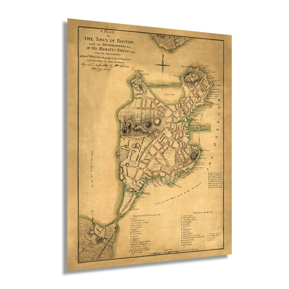
HISTORIX Vintage 1776 Boston Map Poster - Plan of Boston and Its Environs Wall Art Print - Vintage Map of Boston and Its Environs $39.99
 2 optionsAvailable in additional 2 options$3999current price $39.99
HISTORIX Vintage 1776 Boston Map Poster - Plan of Boston and Its Environs Wall Art Print - Vintage Map of Boston and Its Environs
HISTORIX Vintage 1652 North America Map Poster - Old Map Print of America Septentrionalis - Vintage Map of North America Wall Art Print $39.99
 2 optionsAvailable in additional 2 options$3999current price $39.99
HISTORIX Vintage 1652 North America Map Poster - Old Map Print of America Septentrionalis - Vintage Map of North America Wall Art Print
HISTORIX 1777 Map of Boston Massachusetts Vintage Poster Wall Art Print, 18 x 24 Inch $39.99
 2 optionsAvailable in additional 2 options$3999current price $39.99
HISTORIX 1777 Map of Boston Massachusetts Vintage Poster Wall Art Print, 18 x 24 Inch
HISTORIX 1797 Map of Ireland Vintage Poster Wall Art Print, 18 x 24 Inch $39.99
 2 optionsAvailable in additional 2 options$3999current price $39.99
HISTORIX 1797 Map of Ireland Vintage Poster Wall Art Print, 18 x 24 Inch
HISTORIX Vintage 1875 Westfield Massachusetts Map Print - 18x24 Inch Old Bird's Eye View of Westfield Massachusetts Poster - Westfield MA Map History $39.99
 2 optionsAvailable in additional 2 options$3999current price $39.99
HISTORIX Vintage 1875 Westfield Massachusetts Map Print - 18x24 Inch Old Bird's Eye View of Westfield Massachusetts Poster - Westfield MA Map History
HISTORIX Vintage 1912 Palestine Map Print - Vintage Map of Palestine in the Time of Jesus Christ - Historic Holy Land Map Poster Wall Art $39.99
 2 optionsAvailable in additional 2 options$3999current price $39.99
HISTORIX Vintage 1912 Palestine Map Print - Vintage Map of Palestine in the Time of Jesus Christ - Historic Holy Land Map Poster Wall Art
1910 Map of Provincetown Massachusetts - Vintage Map Wall Art - Panoramic Birds Eye View of Provincetown Mass. - Provincetown Map - Provincetown Poster $39.99
 2 optionsAvailable in additional 2 options$3999current price $39.99
1910 Map of Provincetown Massachusetts - Vintage Map Wall Art - Panoramic Birds Eye View of Provincetown Mass. - Provincetown Map - Provincetown Poster
HISTORIX 1916 Chicago Illinois Map Vintage Poster Wall Art Print, 18 x 24 Inch $39.99
 2 optionsAvailable in additional 2 options$3999current price $39.99
HISTORIX 1916 Chicago Illinois Map Vintage Poster Wall Art Print, 18 x 24 Inch
1890 Despatch Rochester NY Map - Vintage Map of Rochester NY - History Map of Despatch Rochester NY - Old Despatch Rochester NY Map Wall Art Poster $39.99
 2 optionsAvailable in additional 2 options$3999current price $39.99
1890 Despatch Rochester NY Map - Vintage Map of Rochester NY - History Map of Despatch Rochester NY - Old Despatch Rochester NY Map Wall Art Poster
HISTORIX 1860 Port Royal Sound Region South Carolina Map Vintage Poster Wall Art Print, 18 x 24 Inch $39.99
 2 optionsAvailable in additional 2 options$3999current price $39.99
HISTORIX 1860 Port Royal Sound Region South Carolina Map Vintage Poster Wall Art Print, 18 x 24 Inch
HISTORIX 1900 Mexico Vintage Map Poster Wall Art Print, 18 x 24 Inch $39.99
 2 optionsAvailable in additional 2 options$3999current price $39.99
HISTORIX 1900 Mexico Vintage Map Poster Wall Art Print, 18 x 24 Inch
Customer ratings & reviews

Related pages
- Interstate Highways Map
- Map Illinois Highways
- Gatlinburg Map
- Colorado Gold Map
- Illinois Counties Map
- Kansas Usa Maps
- National Parks Posters
- Central America Travel Books, Maps & Guides
- Midwest United States Travel Books, Maps & Guides
- Southern United States Travel Books, Maps & Guides
- Northeast United States Travel Books, Maps & Guides
- General South America Travel Books, Maps & Guides