
Hero image 0 of Topographical Map - Artonish Mississippi Quad - USGS 1967 - Vintage Wall Art, 0 of 4
Topographical Map - Artonish Mississippi Quad - USGS 1967 - Vintage Wall Art
(No ratings yet)
Topographical Map - Artonish Mississippi Quad - USGS 1967 - Vintage Wall ArtTopographical Map Artonish Mississippi Quad USGS 1967 23 x 29 27 Vintage Wall ArtTopographical Map Artonish Mississippi Quad USGS 1967 Vintage Wall ArtTopographical Map Artonish Mississippi Quad USGS 1967 Vintage Wall ArtTopographical Map Artonish Mississippi Quad USGS 1967 23 x 29 27 Vintage Wall Art
Material:Matte Art
Size:23.00 x 29.27
Key item features
- OWN A HISTORICAL TOPOGRAPHICAL MAP TODAY - Topographical maps provide you a birds-eye view of how the topography of certain pieces of land are mapped out. See how much today's maps have changed from centuries ago. See how waterways have shifted, or how forrests have become thralling cities. See how history has changed the landscape with a topographical map today!
- TOPOGRAPHICAL MAPS PROVIDE IMPORTANT INFORMATION -Topographical maps show you how the borders of a county are established and were they can be found. It also highlights rivers, mountains, and other natural elements, and it will show you where the cities are located within it.
- ONLY ACCEPT THE BEST PRINT QUALITY FOR YOUR REPRODUCTIONS - There are many printers and print types available on the market, when purchasing a reproduction there is no finer quality reproduction than a reproduction using the Giclee Printing method. Giclee describes the technique or style of printing used, and it is revered as the highest quality printing because of the way it precisely sprays ink onto a surface. Trust nothing less than the best!
- GUARANTEED TO GET EXACTLY WHAT YOU ORDERED - All of our maps come rolled, wrapped, and shipped in a heavy gauge mailing tube to ensure it arrives intact.
- WHY CHOOSE MAPS OF THE PAST? - Maps of the Past is one of the single largest producers of different types of maps. They legally own the rights to the maps they sell, and provide them to you in clean, clear, and vibrant print. If you are looking for a high quality map print, then look no further than Maps of the Past!
Specs
- ColorMulticolor
- Decor styleIndustrial
- ThemeHistoric Topographic Maps
- FramedN
- ShapeRectangle
- Art typePhotography
Current price is USD$45.95$45.95/count
Price when purchased online
- Free shipping
 Free 30-day returns
How do you want your item?
Columbus, 43215
Arrives by Tue, May 5
|Sold and shipped by Maps of the Past
4.363636363636363 stars out of 5, based on 11 seller reviews(4.4)11 seller reviews
Free 30-day returns
About this item
Product details
Historical Topographic Maps - Artonish Mississippi Quad - USGS 1967 - This is an exquisite full-color Reproduction printed on gloss paper or art paper.
The following towns are featured: Fort Adams.
This Map is Situated in: Artonish, Mississippi.
SKU: MSAR0001
Original Maps are often difficult to find and usually have fold lines, identifying stamps or markings, tears, ragged edges, and assorted other natural signs of age that detract from their beauty. All of our maps have been professionally restored to depict their original beauty, while keeping all historical data intact.
These maps are fabulous pieces of history full of information useful to Historians, Genealogists, Cartographers, Relic Hunters, & Others. They make fascinating conversation pieces and splendid works of art for the home or office.
- OWN A HISTORICAL TOPOGRAPHICAL MAP TODAY - Topographical maps provide you a birds-eye view of how the topography of certain pieces of land are mapped out. See how much today's maps have changed from centuries ago. See how waterways have shifted, or how forrests have become thralling cities. See how history has changed the landscape with a topographical map today!
- TOPOGRAPHICAL MAPS PROVIDE IMPORTANT INFORMATION -Topographical maps show you how the borders of a county are established and were they can be found. It also highlights rivers, mountains, and other natural elements, and it will show you where the cities are located within it.
- ONLY ACCEPT THE BEST PRINT QUALITY FOR YOUR REPRODUCTIONS - There are many printers and print types available on the market, when purchasing a reproduction there is no finer quality reproduction than a reproduction using the Giclee Printing method. Giclee describes the technique or style of printing used, and it is revered as the highest quality printing because of the way it precisely sprays ink onto a surface. Trust nothing less than the best!
- GUARANTEED TO GET EXACTLY WHAT YOU ORDERED - All of our maps come rolled, wrapped, and shipped in a heavy gauge mailing tube to ensure it arrives intact.
- WHY CHOOSE MAPS OF THE PAST? - Maps of the Past is one of the single largest producers of different types of maps. They legally own the rights to the maps they sell, and provide them to you in clean, clear, and vibrant print. If you are looking for a high quality map print, then look no further than Maps of the Past!
info:
We aim to show you accurate product information. Manufacturers, suppliers and others provide what you see here, and we have not verified it.
Specifications
Color
Multicolor
Decor style
Industrial
Theme
Historic Topographic Maps
Framed
N
Warranty
Warranty information
Please be aware that the warranty terms on items offered for sale by third party Marketplace sellers may differ from those displayed in this section (if any). To confirm warranty terms on an item offered for sale by a third party Marketplace seller, please use the 'Contact seller' feature on the third party Marketplace seller's information page and request the item's warranty terms prior to purchase.
Similar items you might like
Based on what customers bought
Historic State Map - Pennsylvania - Colton 1856 - Vintage Wall Art $42.95 $42.95/count
 $4295current price $42.95$42.95/count
Historic State Map - Pennsylvania - Colton 1856 - Vintage Wall Art
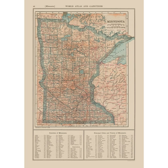
Historic State Map - Minnesota - Reynold 1921 - Vintage Wall Art $36.95
 3 optionsAvailable in additional 3 options$3695current price $36.95
Historic State Map - Minnesota - Reynold 1921 - Vintage Wall Art
Historic State Map - Louisiana - Alden 1886 - 23 x 34.09 - Vintage Wall Art $94.95
 $9495current price $94.95
Historic State Map - Louisiana - Alden 1886 - 23 x 34.09 - Vintage Wall Art
Topographical Map - San Simon Arizona Quad - USGS 1950 - 23 x 27.86 - Vintage Wall Art $94.95
 $9495current price $94.95
Topographical Map - San Simon Arizona Quad - USGS 1950 - 23 x 27.86 - Vintage Wall Art
Historic Map - Hemispheres of Earth - Stieler 1885 - 27.45 x 23 - Vintage Wall Art $94.95
 $9495current price $94.95
Historic Map - Hemispheres of Earth - Stieler 1885 - 27.45 x 23 - Vintage Wall Art
Topographical Map - Catskill New York Sheet - USGS 1895 - 23 x 30.46 - Vintage Wall Art $94.95 $94.95/count
 $9495current price $94.95$94.95/count
Topographical Map - Catskill New York Sheet - USGS 1895 - 23 x 30.46 - Vintage Wall Art
Stupell Industries Aquatic Sea Life Impressions Animals Painting Unframed Art Print Wall Art, 12 x 12, Set of 4 $117.99
 $11799current price $117.99
Stupell Industries Aquatic Sea Life Impressions Animals Painting Unframed Art Print Wall Art, 12 x 12, Set of 4
Historic State Map - Iowa - Alden 1886 - 23 x 35.74 - Vintage Wall Art $94.95 $94.95/count
 $9495current price $94.95$94.95/count
Historic State Map - Iowa - Alden 1886 - 23 x 35.74 - Vintage Wall Art
Stupell Industries Vintage Garden Cabbage Food & Beverage Painting Unframed Art Print Wall Art, 11 x 14, Set of 4 $117.99
 $11799current price $117.99
Stupell Industries Vintage Garden Cabbage Food & Beverage Painting Unframed Art Print Wall Art, 11 x 14, Set of 4
Topographical Map - Grand Island Nebraska Quad - USGS 1897 - 23 x 28.34 - Vintage Wall Art $94.95 $94.95/count
 $9495current price $94.95$94.95/count
Topographical Map - Grand Island Nebraska Quad - USGS 1897 - 23 x 28.34 - Vintage Wall Art
Topographical Map - Montrose Colorado Quad - USGS 1962 - 31.59 x 23 - Vintage Wall Art $94.95 $94.95/count
 $9495current price $94.95$94.95/count
Topographical Map - Montrose Colorado Quad - USGS 1962 - 31.59 x 23 - Vintage Wall Art
Stupell Industries Simple Wildflower Studies Plants & Flowers Painting Unframed Art Print Wall Art, 11 x 14, Set of 4 $117.99
 $11799current price $117.99
Stupell Industries Simple Wildflower Studies Plants & Flowers Painting Unframed Art Print Wall Art, 11 x 14, Set of 4
Stupell Industries Pastel Whimsical Landscapes Transportation Painting Unframed Art Print Wall Art, 12 x 12, Set of 4 $117.99
 $11799current price $117.99
Stupell Industries Pastel Whimsical Landscapes Transportation Painting Unframed Art Print Wall Art, 12 x 12, Set of 4
Historic State Map - Wyoming - Cram 1892 - Vintage Wall Art $36.95
 $3695current price $36.95
Historic State Map - Wyoming - Cram 1892 - Vintage Wall Art
Historic State Map - Washington - Cram 1892 - Vintage Wall Art $36.95
 3 optionsAvailable in additional 3 options$3695current price $36.95
Historic State Map - Washington - Cram 1892 - Vintage Wall Art
Historic State Map - Arizona - Cram 1892 - 23 x 27.57 - Vintage Wall Art $94.95
 $9495current price $94.95
Historic State Map - Arizona - Cram 1892 - 23 x 27.57 - Vintage Wall Art
Stupell Industries Indigo Nautical Seashells Nautical & Beach Painting Unframed Art Print Wall Art, 12 x 12, Set of 4 $117.99
 $11799current price $117.99
Stupell Industries Indigo Nautical Seashells Nautical & Beach Painting Unframed Art Print Wall Art, 12 x 12, Set of 4
Topographical Map - Bairoil Wyoming Quad - USGS 1961 - 23 x 31.14 - Vintage Wall Art $94.95
 $9495current price $94.95
Topographical Map - Bairoil Wyoming Quad - USGS 1961 - 23 x 31.14 - Vintage Wall Art
Historic Map - World - Ortelius 1587 - 29.24 x 23 - Vintage Wall Art $45.95 $45.95/count
 $4595current price $45.95$45.95/count
Historic Map - World - Ortelius 1587 - 29.24 x 23 - Vintage Wall Art
Topographical Map - Cisco Springs Utah Quad - USGS 1970 - 23 x 29.94 - Vintage Wall Art $94.95 $94.95/count
 $9495current price $94.95$94.95/count
Topographical Map - Cisco Springs Utah Quad - USGS 1970 - 23 x 29.94 - Vintage Wall Art
Check out these related products
Topographical Map - Paulding Mississippi Quad - USGS 1970 - Vintage Wall Art $36.95
 $3695current price $36.95
Topographical Map - Paulding Mississippi Quad - USGS 1970 - Vintage Wall Art
Topographical Map - Ebenezer Mississippi Quad - USGS 1964 - Vintage Wall Art $36.95
 $3695current price $36.95
Topographical Map - Ebenezer Mississippi Quad - USGS 1964 - Vintage Wall Art
Topographical Map - Woodville Mississippi Quad - USGS 1958 - Vintage Wall Art $36.95
 $3695current price $36.95
Topographical Map - Woodville Mississippi Quad - USGS 1958 - Vintage Wall Art
Topographical Map - Vaughan Mississippi Quad - USGS 1964 - Vintage Wall Art $36.95
 $3695current price $36.95
Topographical Map - Vaughan Mississippi Quad - USGS 1964 - Vintage Wall Art
Topographical Map - Linwood Mississippi Quad - USGS 1964 - Vintage Wall Art $36.95
 $3695current price $36.95
Topographical Map - Linwood Mississippi Quad - USGS 1964 - Vintage Wall Art
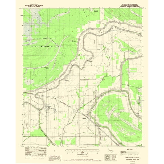
Topographical Map - Moreauville Louisiana Quad - USGS 1962 - Vintage Wall Art $36.95
 $3695current price $36.95
Topographical Map - Moreauville Louisiana Quad - USGS 1962 - Vintage Wall Art
Topographical Map - Zeiglerville Mississippi Quad - USGS 1964 - Vintage Wall Art $36.95
 $3695current price $36.95
Topographical Map - Zeiglerville Mississippi Quad - USGS 1964 - Vintage Wall Art
Topographical Map - Gloster Mississippi Quad - USGS 1961 - Vintage Wall Art $36.95
 $3695current price $36.95
Topographical Map - Gloster Mississippi Quad - USGS 1961 - Vintage Wall Art
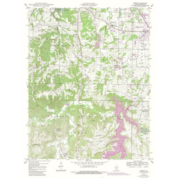
Topographical Map - Pomona Illinois Quad - USGS 1948 - Vintage Wall Art $36.95
 $3695current price $36.95
Topographical Map - Pomona Illinois Quad - USGS 1948 - Vintage Wall Art
Topographical Map - Moreauville Louisiana Quad - USGS 1982 - Vintage Wall Art $36.95
 $3695current price $36.95
Topographical Map - Moreauville Louisiana Quad - USGS 1982 - Vintage Wall Art
Topographical Map - Lecompte Louisiana Quad - USGS 1957 - Vintage Wall Art $36.95
 $3695current price $36.95
Topographical Map - Lecompte Louisiana Quad - USGS 1957 - Vintage Wall Art
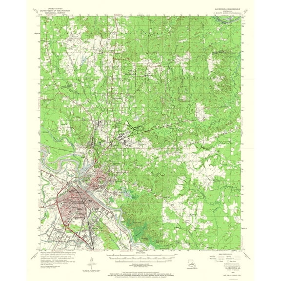
Topographical Map - Alexandria Louisiana Quad - USGS 1957 - Vintage Wall Art $36.95
 $3695current price $36.95
Topographical Map - Alexandria Louisiana Quad - USGS 1957 - Vintage Wall Art
Topographical Map - Ripley Illinois Quad - USGS 1981 - Vintage Wall Art $36.95
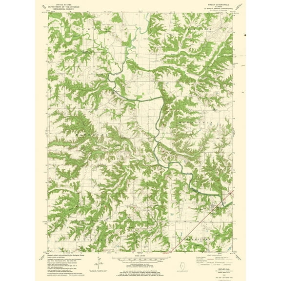 $3695current price $36.95
Topographical Map - Ripley Illinois Quad - USGS 1981 - Vintage Wall Art
Topographical Map - Colchester Illinois Quad - USGS 1974 - Vintage Wall Art $36.95
 $3695current price $36.95
Topographical Map - Colchester Illinois Quad - USGS 1974 - Vintage Wall Art
Topographical Map - Longtown Oklahoma Quad - USGS 1971 - Vintage Wall Art $36.95
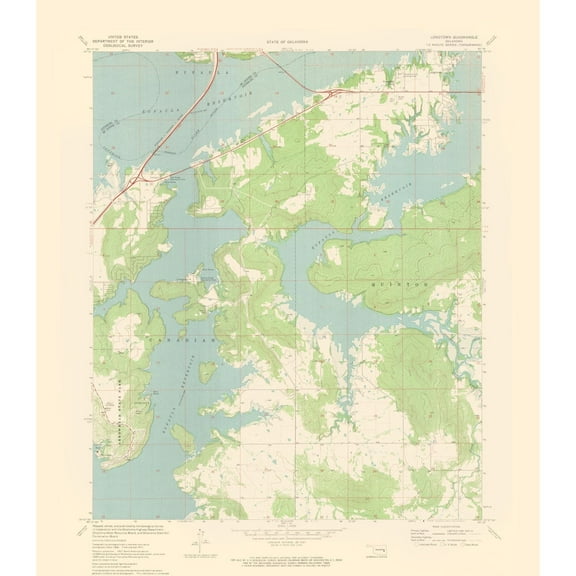 4 optionsAvailable in additional 4 options$3695current price $36.95
Topographical Map - Longtown Oklahoma Quad - USGS 1971 - Vintage Wall Art
Topographical Map - Shaw Mississippi Quad - USGS 1965 - Vintage Wall Art $36.95
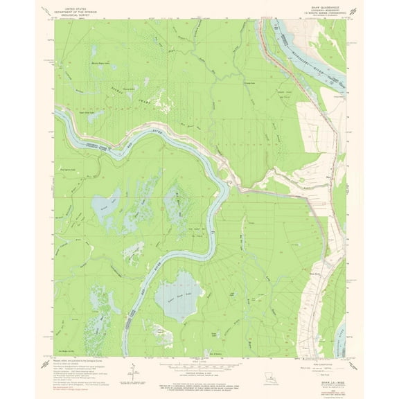 4 optionsAvailable in additional 4 options$3695current price $36.95
Topographical Map - Shaw Mississippi Quad - USGS 1965 - Vintage Wall Art
Topographical Map - Decatur Illinois Quad - USGS 1975 - Vintage Wall Art $36.95
 $3695current price $36.95
Topographical Map - Decatur Illinois Quad - USGS 1975 - Vintage Wall Art
Topographical Map - Macomb Illinois Quad - USGS 1974 - Vintage Wall Art $36.95
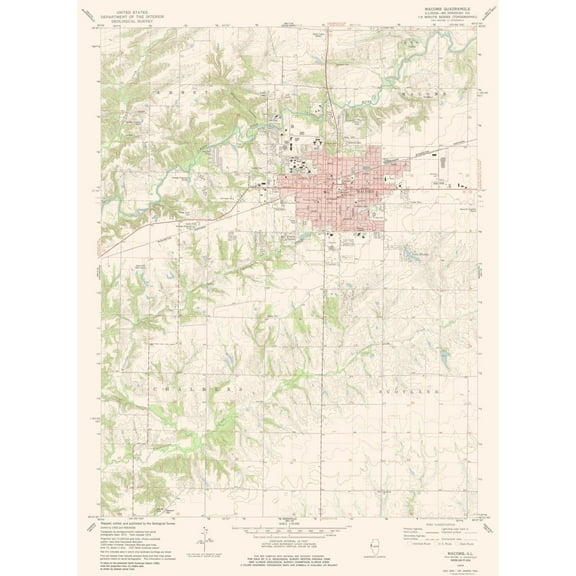 $3695current price $36.95
Topographical Map - Macomb Illinois Quad - USGS 1974 - Vintage Wall Art
Topographical Map - South Montrose Mississippi Quad - USGS 1970 - Vintage Wall Art $36.95
 $3695current price $36.95
Topographical Map - South Montrose Mississippi Quad - USGS 1970 - Vintage Wall Art
Topographical Map - Carmi Illinois Quad - USGS 1974 - Vintage Wall Art $36.95
 4 optionsAvailable in additional 4 options$3695current price $36.95
Topographical Map - Carmi Illinois Quad - USGS 1974 - Vintage Wall Art
Customer ratings & reviews
0 ratings|0 reviews
This item does not have any reviews yet

Related pages
- Interstate Highways Map
- Map Illinois Highways
- West Virginia Maps By County
- Maps Of Illinois Cities & Towns
- Illinois Counties Map
- Alabama County Map Roads
- National Parks Posters
- Central America Travel Books, Maps & Guides
- Midwest United States Travel Books, Maps & Guides
- Northeast United States Travel Books, Maps & Guides
- Southern United States Travel Books, Maps & Guides
- General South America Travel Books, Maps & Guides