
Hero image 0 of Historic Mine Map - Nevada Sultro Tunnel Comstock Lode - Hoffmann 1866 - Vintage Wall Art, 0 of 4
Historic Mine Map - Nevada Sultro Tunnel Comstock Lode - Hoffmann 1866 - Vintage Wall Art
(No ratings yet)
Historic Mine Map - Nevada Sultro Tunnel Comstock Lode - Hoffmann 1866 - Vintage Wall ArtTopographical Map Chesterville Ohio Quad USGS 1961 23 x 30 91 Vintage Wall ArtHistoric Mine Map Nevada Sultro Tunnel Comstock Lode Hoffmann 1866 23 x 28 44 Vintage Wall ArtHistoric Mine Map Nevada Sultro Tunnel Comstock Lode Hoffmann 1866 Vintage Wall ArtHistoric Mine Map Nevada Sultro Tunnel Comstock Lode Hoffmann 1866 23 x 28 44 Vintage Wall Art
Material:Matte Art
Size:16.00 X 19.78
Key item features
- DISCOVER THE HISTORIC MINES ACROSS THE US - The United States is rich in natural resources and those resources have been mined since the early 1700's. Since those mines have been opened, we have kept track of them with maps. We have one of the largest databases of US mining maps period. If you are looking for a historical map for any use, then Maps of the Past is where you will find it!
- DISCOVER WHAT RESOURCES ARE FOUND IN WHICH STATES - The US is rich with mines, both abandoned and live, because the US is rich with minerals and precious metals like gold and silver. See where mines are located across the country with Maps of the Past mining maps.
- ONLY ACCEPT THE BEST PRINT QUALITY FOR YOUR REPRODUCTIONS - There are many printers and print types available on the market, when purchasing a reproduction there is no finer quality reproduction than a reproduction using the Giclee Printing method. Giclee describes the technique or style of printing used, and it is revered as the highest quality printing because of the way it precisely sprays ink onto a surface. Trust nothing less than the best!
- GUARANTEED TO GET EXACTLY WHAT YOU ORDERED - All of our maps come rolled, wrapped, and shipped in a heavy gauge mailing tube to ensure it arrives intact.
- WHY CHOOSE MAPS OF THE PAST? - Maps of the Past is one of the single largest producers of different types of maps. They legally own the rights to the maps they sell, and provide them to you in clean, clear, and vibrant print. If you are looking for a high quality map print, then look no further than Maps of the Past!
Specs
- ColorMulticolor
- Decor styleIndustrial
- ThemeOld Mining Maps
- FramedN
- ShapeRectangle
- Art typePhotography
Current price is USD$42.95$42.95/count
Price when purchased online
- Free shipping
 Free 30-day returns
How do you want your item?
Columbus, 43215
Arrives by Sat, May 9
|Sold and shipped by Maps of the Past
4.363636363636363 stars out of 5, based on 11 seller reviews(4.4)11 seller reviews
Free 30-day returns
Check out these related products
Topographical Map - Denmark Ohio Quad - USGS 1961 - Vintage Wall Art $36.95
 $3695current price $36.95
Topographical Map - Denmark Ohio Quad - USGS 1961 - Vintage Wall Art
Topographical Map - Fayette Ohio Quad - USGS 1960 - Vintage Wall Art $36.95
 $3695current price $36.95
Topographical Map - Fayette Ohio Quad - USGS 1960 - Vintage Wall Art
Topographical Map - Clearport Ohio Quad - USGS 1961 - Vintage Wall Art $36.95
 $3695current price $36.95
Topographical Map - Clearport Ohio Quad - USGS 1961 - Vintage Wall Art
Topographical Map - Archbold Ohio Quad - USGS 1959 - Vintage Wall Art $36.95
 $3695current price $36.95
Topographical Map - Archbold Ohio Quad - USGS 1959 - Vintage Wall Art
Topographical Map - Lyons Ohio Quad - USGS 1960 - Vintage Wall Art $36.95
 4 optionsAvailable in additional 4 options$3695current price $36.95
Topographical Map - Lyons Ohio Quad - USGS 1960 - Vintage Wall Art
Topographical Map - Alvordton Ohio Quad - USGS 1961 - Vintage Wall Art $36.95
 $3695current price $36.95
Topographical Map - Alvordton Ohio Quad - USGS 1961 - Vintage Wall Art
Topographical Map - Thackeray Illinois Quad - USGS 1974 - Vintage Wall Art $36.95
 $3695current price $36.95
Topographical Map - Thackeray Illinois Quad - USGS 1974 - Vintage Wall Art
Topographical Map - Thompsonville Illinois Quad - USGS 1963 - Vintage Wall Art $36.95
 4 optionsAvailable in additional 4 options$3695current price $36.95
Topographical Map - Thompsonville Illinois Quad - USGS 1963 - Vintage Wall Art
Topographical Map - Enfield Illinois Quad - USGS 1974 - Vintage Wall Art $36.95
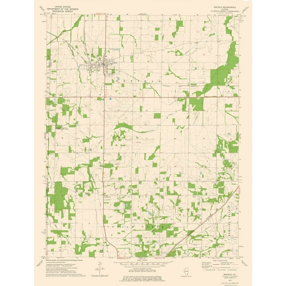 4 optionsAvailable in additional 4 options$3695current price $36.95
Topographical Map - Enfield Illinois Quad - USGS 1974 - Vintage Wall Art
Topographical Map - Fandon Illinois Quad - USGS 1974 - Vintage Wall Art $36.95
 $3695current price $36.95
Topographical Map - Fandon Illinois Quad - USGS 1974 - Vintage Wall Art
Topographical Map - Pomona Illinois Quad - USGS 1948 - Vintage Wall Art $36.95
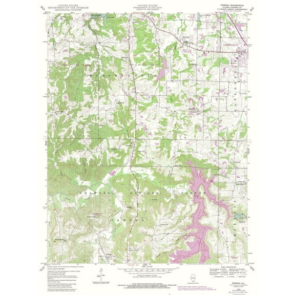 $3695current price $36.95
Topographical Map - Pomona Illinois Quad - USGS 1948 - Vintage Wall Art
Topographical Map - Linwood Mississippi Quad - USGS 1964 - Vintage Wall Art $36.95
 $3695current price $36.95
Topographical Map - Linwood Mississippi Quad - USGS 1964 - Vintage Wall Art
Topographical Map - Lecompte Louisiana Quad - USGS 1957 - Vintage Wall Art $36.95
 $3695current price $36.95
Topographical Map - Lecompte Louisiana Quad - USGS 1957 - Vintage Wall Art
Topographical Map - Vaughan Mississippi Quad - USGS 1964 - Vintage Wall Art $36.95
 $3695current price $36.95
Topographical Map - Vaughan Mississippi Quad - USGS 1964 - Vintage Wall Art
Topographical Map - Moreauville Louisiana Quad - USGS 1962 - Vintage Wall Art $36.95
 $3695current price $36.95
Topographical Map - Moreauville Louisiana Quad - USGS 1962 - Vintage Wall Art
Topographical Map - Ebenezer Mississippi Quad - USGS 1964 - Vintage Wall Art $36.95
 $3695current price $36.95
Topographical Map - Ebenezer Mississippi Quad - USGS 1964 - Vintage Wall Art
Topographical Map - Macomb Illinois Quad - USGS 1974 - Vintage Wall Art $36.95
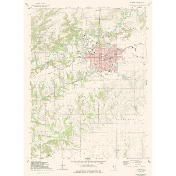 $3695current price $36.95
Topographical Map - Macomb Illinois Quad - USGS 1974 - Vintage Wall Art
Topographical Map - Palmyra Indiana Quad - USGS 1988 - Vintage Wall Art $36.95
 4 optionsAvailable in additional 4 options$3695current price $36.95
Topographical Map - Palmyra Indiana Quad - USGS 1988 - Vintage Wall Art
Topographical Map - Alexandria Louisiana Quad - USGS 1957 - Vintage Wall Art $36.95
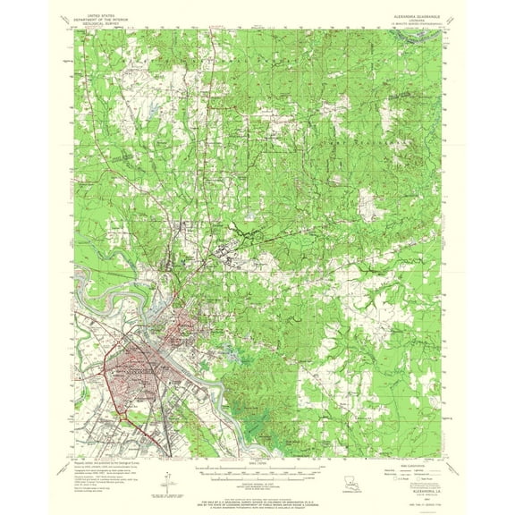 $3695current price $36.95
Topographical Map - Alexandria Louisiana Quad - USGS 1957 - Vintage Wall Art
Topographical Map - Ripley Illinois Quad - USGS 1981 - Vintage Wall Art $36.95
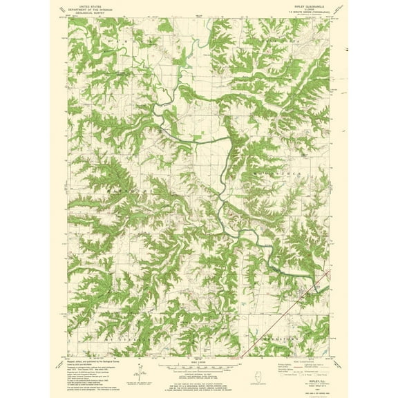 $3695current price $36.95
Topographical Map - Ripley Illinois Quad - USGS 1981 - Vintage Wall Art
About this item
Product details
Old Mining Map - Sultro Tunnel, Comstock Lode Nevada - 1866 - This is an exquisite full-color Reproduction printed on gloss paper or art paper.
Sites and Townships Specific To This Map Are: Cedar Hill, Gold Hill, Crown Point Ravine, Ophir Hill, Mount Kate, Virginia and Truckee Railroad, Spring Hill, Carson River, County Hospital, and Toll House.
The following towns are featured: American City, Virginia City, Dayton, Johntown, and Silver City.
This Map is Situated in: Storey and Lyon Counties, Nevada.
SKU: NVZZ0007
Original Maps are often difficult to find and usually have fold lines, identifying stamps or markings, tears, ragged edges, and assorted other natural signs of age that detract from their beauty. All of our maps have been professionally restored to depict their original beauty, while keeping all historical data intact.
These maps are fabulous pieces of history full of information useful to Historians, Genealogists, Cartographers, Relic Hunters, & Others. They make fascinating conversation pieces and splendid works of art for the home or office.
- DISCOVER THE HISTORIC MINES ACROSS THE US - The United States is rich in natural resources and those resources have been mined since the early 1700's. Since those mines have been opened, we have kept track of them with maps. We have one of the largest databases of US mining maps period. If you are looking for a historical map for any use, then Maps of the Past is where you will find it!
- DISCOVER WHAT RESOURCES ARE FOUND IN WHICH STATES - The US is rich with mines, both abandoned and live, because the US is rich with minerals and precious metals like gold and silver. See where mines are located across the country with Maps of the Past mining maps.
- ONLY ACCEPT THE BEST PRINT QUALITY FOR YOUR REPRODUCTIONS - There are many printers and print types available on the market, when purchasing a reproduction there is no finer quality reproduction than a reproduction using the Giclee Printing method. Giclee describes the technique or style of printing used, and it is revered as the highest quality printing because of the way it precisely sprays ink onto a surface. Trust nothing less than the best!
- GUARANTEED TO GET EXACTLY WHAT YOU ORDERED - All of our maps come rolled, wrapped, and shipped in a heavy gauge mailing tube to ensure it arrives intact.
- WHY CHOOSE MAPS OF THE PAST? - Maps of the Past is one of the single largest producers of different types of maps. They legally own the rights to the maps they sell, and provide them to you in clean, clear, and vibrant print. If you are looking for a high quality map print, then look no further than Maps of the Past!
info:
We aim to show you accurate product information. Manufacturers, suppliers and others provide what you see here, and we have not verified it.
Specifications
Color
Multicolor
Decor style
Industrial
Theme
Old Mining Maps
Framed
N
Warranty
Warranty information
Please be aware that the warranty terms on items offered for sale by third party Marketplace sellers may differ from those displayed in this section (if any). To confirm warranty terms on an item offered for sale by a third party Marketplace seller, please use the 'Contact seller' feature on the third party Marketplace seller's information page and request the item's warranty terms prior to purchase.
Customer ratings & reviews
0 ratings|0 reviews
This item does not have any reviews yet
