
Current price is USD$9.31
Price when purchased online
- Free 90-day returns
How do you want your item?
Try 30 days of Free Shipping with Walmart+! Choose plan at checkout.
Ships to
Arrives by Fri, May 1
Sold and shipped by Walmart.com
Free 90-day returns - in store or online
This item is gift eligible
More seller options (2)
Starting from $9.30
Get free delivery, shipping and more*
*Restrictions apply
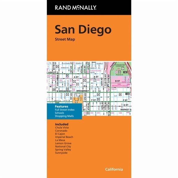
About this item


Customer ratings & reviews
0 ratings|0 reviews
This item does not have any reviews yet

Related pages
- Nc Map Counties
- General United States Travel Books, Maps & Guides
- Illinois Road Map
- Virginia Atlas
- Rand Mcnally & Co
- Map Highways
- Detailed Road Map Georgia
- Southern United States Travel Books, Maps & Guides
- Rand McNally Travel Books, Maps & Guides
- Atlases, Gazetteers & Maps
- Atlantic Canadian Provinces Travel Books, Maps & Guides
- General Canada Travel Books, Maps & Guides