
Hero image 0 of Historic State Map - Wisconsin - Poates 1921 - Vintage Wall Art, 0 of 4
Historic State Map - Wisconsin - Poates 1921 - Vintage Wall Art
(No ratings yet)
Historic State Map - Wisconsin - Poates 1921 - Vintage Wall ArtWisconsin Poates 1921 23 00 x 32 77 Glossy Satin PaperHistoric State Map Wisconsin Poates 1921 Vintage Wall ArtHistoric State Map Wisconsin Poates 1921 Vintage Wall Art
Material:Glossy Photo-Out of stock
Size:23.00 x 32.77-Out of stock
Key item features
- OWN A STATE MAP TODAY - If you are looking for a map of your state, or another specific state, to frame and hang on your wall, then look no further! Our state maps are also great for school projects. Our maps have a variety of uses, and they come in a variety of styles. We have every state map you could need!
- STATE MAPS PROVIDE IMPORTANT INFORMATION - State maps not only show you how the different counties and/or cities are divided up and where the borders can be found within a state, but it also highlights rivers, mountains, and other natural elements. Some of them may also provide
- ONLY ACCEPT THE BEST PRINT QUALITY FOR YOUR REPRODUCTIONS - There are many printers and print types available on the market, when purchasing a reproduction there is no finer quality reproduction than a reproduction using the Giclee Printing method. Giclee describes the technique or style of printing used, and it is revered as the highest quality printing because of the way it precisely sprays ink onto a surface. Trust nothing less than the best!
- GUARANTEED TO GET EXACTLY WHAT YOU ORDERED - All of our maps come rolled, wrapped, and shipped in a heavy gauge mailing tube to ensure it arrives intact.
- WHY CHOOSE MAPS OF THE PAST? - Maps of the Past is one of the single largest producers of different types of maps. They legally own the rights to the maps they sell, and provide them to you in clean, clear, and vibrant print. If you are looking for a high quality map print, then look no further than Maps of the Past!
Specs
- ColorMulticolor
- Decor styleIndustrial
- ThemeOld State Maps
- FramedN
- ShapeRectangle
- Art typePhotography
Current price is USD$40.95
Price when purchased online
Not Available
How do you want your item?
Not available
About this item
Product details
Old State Maps - Wisconsin - Reynold 1921 - This is an exquisite full-color Reproduction printed on gloss paper or art paper.
The following towns are featured: Superior, Ashland, Merill, Watertown, Oshkosh, Green Bay, Baraboo, Wausau, Antigo, Marinette, Gildden.
This Map is Situated in: Wisconsin.
SKU: USWI0002
Original Maps are often difficult to find and usually have fold lines, identifying stamps or markings, tears, ragged edges, and assorted other natural signs of age that detract from their beauty. All of our maps have been professionally restored to depict their original beauty, while keeping all historical data intact.
These maps are fabulous pieces of history full of information useful to Historians, Genealogists, Cartographers, Relic Hunters, & Others. They make fascinating conversation pieces and splendid works of art for the home or office.
- OWN A STATE MAP TODAY - If you are looking for a map of your state, or another specific state, to frame and hang on your wall, then look no further! Our state maps are also great for school projects. Our maps have a variety of uses, and they come in a variety of styles. We have every state map you could need!
- STATE MAPS PROVIDE IMPORTANT INFORMATION - State maps not only show you how the different counties and/or cities are divided up and where the borders can be found within a state, but it also highlights rivers, mountains, and other natural elements. Some of them may also provide
- ONLY ACCEPT THE BEST PRINT QUALITY FOR YOUR REPRODUCTIONS - There are many printers and print types available on the market, when purchasing a reproduction there is no finer quality reproduction than a reproduction using the Giclee Printing method. Giclee describes the technique or style of printing used, and it is revered as the highest quality printing because of the way it precisely sprays ink onto a surface. Trust nothing less than the best!
- GUARANTEED TO GET EXACTLY WHAT YOU ORDERED - All of our maps come rolled, wrapped, and shipped in a heavy gauge mailing tube to ensure it arrives intact.
- WHY CHOOSE MAPS OF THE PAST? - Maps of the Past is one of the single largest producers of different types of maps. They legally own the rights to the maps they sell, and provide them to you in clean, clear, and vibrant print. If you are looking for a high quality map print, then look no further than Maps of the Past!
info:
We aim to show you accurate product information. Manufacturers, suppliers and others provide what you see here, and we have not verified it.
Specifications
Color
Multicolor
Decor style
Industrial
Theme
Old State Maps
Framed
N
Warranty
Warranty information
Please be aware that the warranty terms on items offered for sale by third party Marketplace sellers may differ from those displayed in this section (if any). To confirm warranty terms on an item offered for sale by a third party Marketplace seller, please use the 'Contact seller' feature on the third party Marketplace seller's information page and request the item's warranty terms prior to purchase.
Similar items you might like
Based on what customers bought
Historic Panoramic View - Millerton New York - Burleigh 1887 - Vintage Wall Art $36.95
 4 optionsAvailable in additional 4 options$3695current price $36.95
Historic Panoramic View - Millerton New York - Burleigh 1887 - Vintage Wall Art
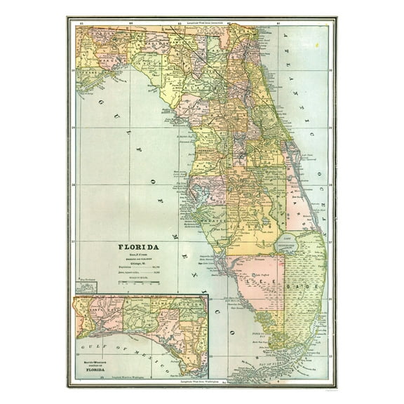
Historic State Map - Florida - Johnson 1888 - Vintage Wall Art $36.95
 4 optionsAvailable in additional 4 options$3695current price $36.95
Historic State Map - Florida - Johnson 1888 - Vintage Wall Art
Historic State Map - South Dakota - Reynold 1921 - 33.51 x 23 - Vintage Wall Art $40.95
 4 optionsAvailable in additional 4 options$4095current price $40.95
Historic State Map - South Dakota - Reynold 1921 - 33.51 x 23 - Vintage Wall Art
Historic State Map - California - Hoen 1896 - Vintage Wall Art $36.95
 4 optionsAvailable in additional 4 options$3695current price $36.95
Historic State Map - California - Hoen 1896 - Vintage Wall Art
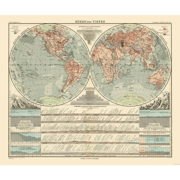
Historic Map - World - Perthes 1891 - 27.56 x 23 - Vintage Wall Art $40.95 $40.95/count
 $4095current price $40.95$40.95/count
Historic Map - World - Perthes 1891 - 27.56 x 23 - Vintage Wall Art
Historic State Map - New England - Homann 1759 - 23 x 26.60 - Vintage Wall Art $40.95 $40.95/count
 $4095current price $40.95$40.95/count
Historic State Map - New England - Homann 1759 - 23 x 26.60 - Vintage Wall Art
Historic State Map - Ohio - Reynold 1921 - Vintage Wall Art $36.95
 4 optionsAvailable in additional 4 options$3695current price $36.95
Historic State Map - Ohio - Reynold 1921 - Vintage Wall Art
Historic State Map - New Jersey - Johnson 1888 - Vintage Wall Art $36.95
 4 optionsAvailable in additional 4 options$3695current price $36.95
Historic State Map - New Jersey - Johnson 1888 - Vintage Wall Art
Historic State Map - United States Territorial Growth - Cram 1892 - 29.26 x 23 - Vintage Wall Art $40.95 $40.95/count
 $4095current price $40.95$40.95/count
Historic State Map - United States Territorial Growth - Cram 1892 - 29.26 x 23 - Vintage Wall Art
Historic State Map - Virginia - 1918 - Vintage Wall Art $36.95
 4 optionsAvailable in additional 4 options$3695current price $36.95
Historic State Map - Virginia - 1918 - Vintage Wall Art
Historic State Map - Nevada - Johnson 1888 - Vintage Wall Art $36.95
 4 optionsAvailable in additional 4 options$3695current price $36.95
Historic State Map - Nevada - Johnson 1888 - Vintage Wall Art
Historic County Map - Montmorency County Michigan - Walling 1873 - Vintage Wall Art $36.95
 4 optionsAvailable in additional 4 options$3695current price $36.95
Historic County Map - Montmorency County Michigan - Walling 1873 - Vintage Wall Art
Historic State Map - New Hampshire - Carter 1878 - Vintage Wall Art $36.95
 4 optionsAvailable in additional 4 options$3695current price $36.95
Historic State Map - New Hampshire - Carter 1878 - Vintage Wall Art
Historic State Map - Louisiana French Colony - Jefferys 1767 - Vintage Wall Art $36.95
 4 optionsAvailable in additional 4 options$3695current price $36.95
Historic State Map - Louisiana French Colony - Jefferys 1767 - Vintage Wall Art
Historic State Map - Nevada - Reynold 1921 - Vintage Wall Art $36.95
 3 optionsAvailable in additional 3 options$3695current price $36.95
Historic State Map - Nevada - Reynold 1921 - Vintage Wall Art
Historic State Map - United States Northeast Coast - Moll 1711 - 23 x 38.28 - Vintage Wall Art $45.95
 $4595current price $45.95
Historic State Map - United States Northeast Coast - Moll 1711 - 23 x 38.28 - Vintage Wall Art
Historic State Map - Michigan - Reynold 1921 - 23 x 32.50 - Vintage Wall Art $40.95 $40.95/count
 $4095current price $40.95$40.95/count
Historic State Map - Michigan - Reynold 1921 - 23 x 32.50 - Vintage Wall Art
Historic Map - Tartary Russia - Tanner 1835 - 28.02 x 23 - Vintage Wall Art $40.95
 $4095current price $40.95
Historic Map - Tartary Russia - Tanner 1835 - 28.02 x 23 - Vintage Wall Art
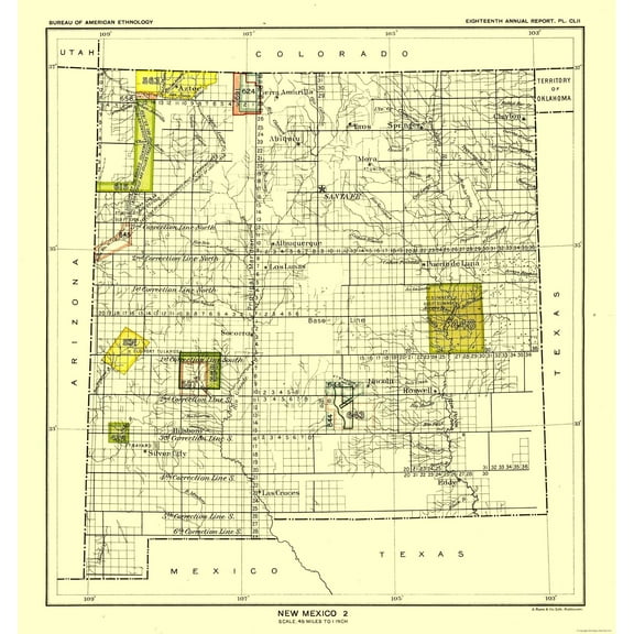
Historic State Map - New Mexico - Hoen 1896 - Vintage Wall Art $36.95
 4 optionsAvailable in additional 4 options$3695current price $36.95
Historic State Map - New Mexico - Hoen 1896 - Vintage Wall Art
Historic Map - Western Hemisphere - Hammond 1910 - 23 x 30.21 - Vintage Wall Art $40.95
 4 optionsAvailable in additional 4 options$4095current price $40.95
Historic Map - Western Hemisphere - Hammond 1910 - 23 x 30.21 - Vintage Wall Art
Check out these related products
Historic State Map - Nebraska - Reynold 1921 - 32.62 x 23 - Vintage Wall Art $40.95 $40.95/count
 $4095current price $40.95$40.95/count
Historic State Map - Nebraska - Reynold 1921 - 32.62 x 23 - Vintage Wall Art
Historic State Map - Missouri - Reynold 1921 - Vintage Wall Art $36.95
 $3695current price $36.95
Historic State Map - Missouri - Reynold 1921 - Vintage Wall Art
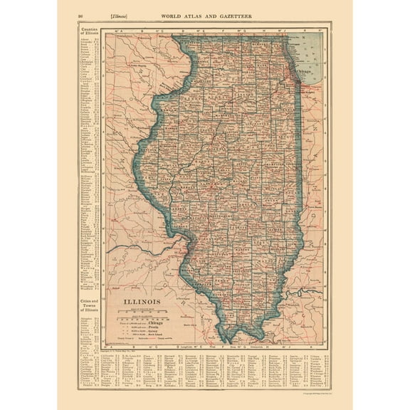
Historic State Map - Illinois - Reynold 1921 - 23 x 31.91 - Vintage Wall Art $45.95 $45.95/count
 4 optionsAvailable in additional 4 options$4595current price $45.95$45.95/count
Historic State Map - Illinois - Reynold 1921 - 23 x 31.91 - Vintage Wall Art
Historic State Map - Nebraska - Hoen 1896 - Vintage Wall Art $36.95
 $3695current price $36.95
Historic State Map - Nebraska - Hoen 1896 - Vintage Wall Art
Historic State Map - Wyoming - Hoen 1896 - Vintage Wall Art $36.95
 $3695current price $36.95
Historic State Map - Wyoming - Hoen 1896 - Vintage Wall Art
Historic State Map - Georgia - Reynold 1921 - 23 x 32.90 - Vintage Wall Art $40.95
 $4095current price $40.95
Historic State Map - Georgia - Reynold 1921 - 23 x 32.90 - Vintage Wall Art
Historic State Map - Illinois - Hoen 1896 - Vintage Wall Art $36.95
 4 optionsAvailable in additional 4 options$3695current price $36.95
Historic State Map - Illinois - Hoen 1896 - Vintage Wall Art
Historic State Map - Mississippi - Hoen 1896 - Vintage Wall Art $36.95
 $3695current price $36.95
Historic State Map - Mississippi - Hoen 1896 - Vintage Wall Art
Historic State Map - Maine - Reynold 1921 - 23 x 32.75 - Vintage Wall Art $40.95
 $4095current price $40.95
Historic State Map - Maine - Reynold 1921 - 23 x 32.75 - Vintage Wall Art
Historic County Map - Johnson County Illinois - Warner 1876 - Vintage Wall Art $36.95
 $3695current price $36.95
Historic County Map - Johnson County Illinois - Warner 1876 - Vintage Wall Art
Historic State Map - Puerto Rico - Valverde 1880 - 32.07x 23 - Vintage Wall Art $40.95
 4 optionsAvailable in additional 4 options$4095current price $40.95
Historic State Map - Puerto Rico - Valverde 1880 - 32.07x 23 - Vintage Wall Art
Historic State Map - North Dakota South Dakota - Bismarck - Hoen 1896 - Vintage Wall Art $36.95
 4 optionsAvailable in additional 4 options$3695current price $36.95
Historic State Map - North Dakota South Dakota - Bismarck - Hoen 1896 - Vintage Wall Art
Historic Map - Karawanken Austria Mountains - Baedeker 1910 - Vintage Wall Art $36.95
 $3695current price $36.95
Historic Map - Karawanken Austria Mountains - Baedeker 1910 - Vintage Wall Art
Historic State Map - Kansas - Hoen 1896 - Vintage Wall Art $36.95
 $3695current price $36.95
Historic State Map - Kansas - Hoen 1896 - Vintage Wall Art
Historic Map - Greece Colonies - Oxford 1828 - Vintage Wall Art $36.95
 $3695current price $36.95
Historic Map - Greece Colonies - Oxford 1828 - Vintage Wall Art
Historic State Map - Montana - Alden 1886 - Vintage Wall Art $36.95
 $3695current price $36.95
Historic State Map - Montana - Alden 1886 - Vintage Wall Art
Historic Map - England Anglo Saxon Kings - Droysen 1886 - Vintage Wall Art $36.95
 $3695current price $36.95
Historic Map - England Anglo Saxon Kings - Droysen 1886 - Vintage Wall Art
Historic State Map - Maine - Alden 1886 - 23 x 35.36 - Vintage Wall Art $45.95
 $4595current price $45.95
Historic State Map - Maine - Alden 1886 - 23 x 35.36 - Vintage Wall Art
Historic State Map - Illinois - Alden 1886 - 23 x 36.62 - Vintage Wall Art $45.95
 4 optionsAvailable in additional 4 options$4595current price $45.95
Historic State Map - Illinois - Alden 1886 - 23 x 36.62 - Vintage Wall Art
Historic Map - Persia Armenia Parthia Empires - Fenner 1830 - Vintage Wall Art $36.95
 $3695current price $36.95
Historic Map - Persia Armenia Parthia Empires - Fenner 1830 - Vintage Wall Art
Customer ratings & reviews
0 ratings|0 reviews
This item does not have any reviews yet

Related pages
- Huntsville Alabama Map
- Minneapolis St Paul Map
- Texas Railroad Map
- Durham Map Print
- Michigan State Map
- Map Of Kentucky Counties
- National Parks Posters
- Central America Travel Books, Maps & Guides
- Midwest United States Travel Books, Maps & Guides
- Northeast United States Travel Books, Maps & Guides
- General South America Travel Books, Maps & Guides
- Western United States Travel Books, Maps & Guides