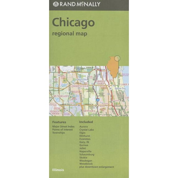
Hero image 0 of Chicago Regional Map (Other), 0 of 1
Chicago Regional Map (Other)
(No ratings yet)
Book Format:Other-Out of stock
Price when purchased online
Not Available
How do you want your item?
Not available
About this item


Customer ratings & reviews
0 ratings|0 reviews
This item does not have any reviews yet

Related pages
- Map Highways
- Illinois Road Map
- State Michigan Map Cities
- Detailed Road Map Georgia
- Map Marathon Florida
- Michigan Topographic Map
- General United States Travel Books, Maps & Guides
- Southern United States Travel Books, Maps & Guides
- Midwest United States Travel Books, Maps & Guides
- Northeast United States Travel Books, Maps & Guides
- General Canada Travel Books, Maps & Guides
- Rand McNally Travel Books, Maps & Guides