Hero image 0 of Railroad Map - United States Proposed Central Pacific Proposed - 1850 - Vintage Wall Art, 0 of 4
Railroad Map - United States Proposed Central Pacific Proposed - 1850 - Vintage Wall Art
(No ratings yet)
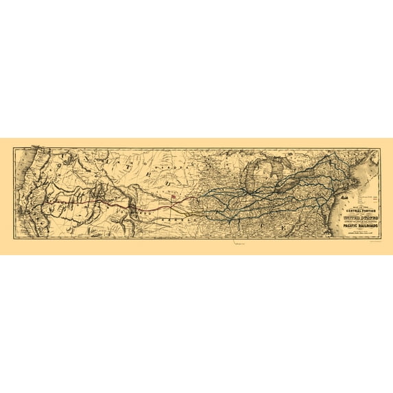
Railroad Map - United States Proposed Central Pacific Proposed - 1850 - Vintage Wall ArtRailroad Map United States Proposed Central Pacific Proposed 1850 23 x 76 Vintage Wall ArtRailroad Map United States Proposed Central Pacific Proposed 1850 23 x 76 Vintage Wall ArtRailroad Map United States Proposed Central Pacific Proposed 1850 Vintage Wall ArtRailroad Map United States Proposed Central Pacific Proposed 1850 Vintage Wall Art
Material:Matte Art
Size:23.00 x 76.70
Current price is USD$45.95
Price when purchased online
- Free shipping
- Free 30-day returns
How do you want your item?
Ships to
Arrives by Mon, May 18
|Sold and shipped by Maps of the Past
4.363636363636363 stars out of 5, based on 11 seller reviews(4.4)
Free 30-day returns
About this item
Customer ratings & reviews
0 ratings|0 reviews
This item does not have any reviews yet

Related pages
- Interstate Road Map
- North America Map Test
- Svalbard Map
- Maps Of Illinois Cities & Towns
- Rand Mcnally Globe
- North South America Map
- Central America Travel Books, Maps & Guides
- Midwest United States Travel Books, Maps & Guides
- General United States Travel Books, Maps & Guides
- National Parks Posters
- Southern United States Travel Books, Maps & Guides
- Northeast United States Travel Books, Maps & Guides