
Hero image 0 of Railroad Map - Wisconsin Railroads - Rice 1900 - Vintage Wall Art, 0 of 4
Railroad Map - Wisconsin Railroads - Rice 1900 - Vintage Wall Art
(No ratings yet)
Railroad Map - Wisconsin Railroads - Rice 1900 - Vintage Wall ArtRailroad Map Wisconsin Railroads Rice 1900 23 x 29 36 Vintage Wall ArtRailroad Map Wisconsin Railroads Rice 1900 Vintage Wall ArtRailroad Map Wisconsin Railroads Rice 1900 23 x 29 36 Vintage Wall ArtRailroad Map Wisconsin Railroads Rice 1900 Vintage Wall Art
Material:Matte Art
Size:23.00 x 29.36
Key item features
- WHAT IS A RAILROAD SYSTEM? - Railroad systems were the original means of transporting both goods and people across the US, and many other countries across the globe. Railroads were built beginning in the 1800's and grew rapidly. They span coast to coast and are still heavily used today in many countries.
- ARE YOU A RAILROAD ENTHUSIAST? - If so, then add to your collection with prints of the original mappings of the railroad systems. Compare it against what is present today and see how much or how little it has changed since it's inceptions likely more than 100 years ago.
- ONLY ACCEPT THE BEST PRINT QUALITY FOR YOUR REPRODUCTIONS - There are many printers and print types available on the market, when purchasing a reproduction there is no finer quality reproduction than a reproduction using the Giclee Printing method. Giclee describes the technique or style of printing used, and it is revered as the highest quality printing because of the way it precisely sprays ink onto a surface. Trust nothing less than the best!
- GUARANTEED TO GET EXACTLY WHAT YOU ORDERED - All of our maps come rolled, wrapped, and shipped in a heavy gauge mailing tube to ensure it arrives intact.
- WHY CHOOSE MAPS OF THE PAST? - Maps of the Past is one of the single largest producers of different types of maps. They legally own the rights to the maps they sell, and provide them to you in clean, clear, and vibrant print. If you are looking for a high quality map print, then look no further than Maps of the Past!
Specs
- ColorMulticolor
- Decor styleIndustrial
- ThemeOld Railroad Maps
- FramedN
- ShapeRectangle
- Art typePhotography
Current price is USD$45.95
Price when purchased online
- Free shipping
 Free 30-day returns
How do you want your item?
Columbus, 43215
Arrives between May 2 - May 4
|Sold and shipped by Maps of the Past
4.363636363636363 stars out of 5, based on 11 seller reviews(4.4)11 seller reviews
Free 30-day returns - in store or online
About this item
Product details
Old Railroad Map - Wisconsin Railroads - Rice 1900 - This is an exquisite full-color Reproduction printed on gloss paper or art paper.
Sites and Townships Specific To This Map Are: Janesville, Evansville, Monroe, Jefferson, Watertown, Beaver Dam, Portage, Dartford, Fond Du Lac, Sheboygan, Monitowoc, Green Bay, Kewaunee, Algoma, Shawano, Sturgeon Bay, Oconto, Marinette, Antigo, Merrill, Rhineland and many others.
The following towns are featured: the counties of Douglass, Sawyer, Washburn, Barron, Polk, Iron, Ashland, Prince, Oneida, Lincoln, Langlade, Forence, Merinette, Shawano, Marathon, Taylor, Clark, Eau Claire, Buffalo, Trempealeau, Jackson, La Cross, Adams, Waushara, Winnebago and many others. Rail lines include the St. Paul and Duluth R.R,. Ch. Fairchild and Eau Claire R.R., Escanaba and Lake Superior Railway, Rapid River Branch, Duluth South Shore and Atlantic Railway, M. St. P. & A. Railway, Ashland, Siskiwi and I. R.R., Northern Pacific R.R., Gt. N. Railway, Eastern Branch of the Minnesota R.R., and the Elgin, Joliet and Eastern Railway.
This Map is Situated in: Wisconsin (WI)
SKU: WIZZ0006
Original Maps are often difficult to find and usually have fold lines, identifying stamps or markings, tears, ragged edges, and assorted other natural signs of age that detract from their beauty. All of our maps have been professionally restored to depict their original beauty, while keeping all historical data intact.
These maps are fabulous pieces of history full of information useful to Historians, Genealogists, Cartographers, Relic Hunters, & Others. They make fascinating conversation pieces and splendid works of art for the home or office.
- WHAT IS A RAILROAD SYSTEM? - Railroad systems were the original means of transporting both goods and people across the US, and many other countries across the globe. Railroads were built beginning in the 1800's and grew rapidly. They span coast to coast and are still heavily used today in many countries.
- ARE YOU A RAILROAD ENTHUSIAST? - If so, then add to your collection with prints of the original mappings of the railroad systems. Compare it against what is present today and see how much or how little it has changed since it's inceptions likely more than 100 years ago.
- ONLY ACCEPT THE BEST PRINT QUALITY FOR YOUR REPRODUCTIONS - There are many printers and print types available on the market, when purchasing a reproduction there is no finer quality reproduction than a reproduction using the Giclee Printing method. Giclee describes the technique or style of printing used, and it is revered as the highest quality printing because of the way it precisely sprays ink onto a surface. Trust nothing less than the best!
- GUARANTEED TO GET EXACTLY WHAT YOU ORDERED - All of our maps come rolled, wrapped, and shipped in a heavy gauge mailing tube to ensure it arrives intact.
- WHY CHOOSE MAPS OF THE PAST? - Maps of the Past is one of the single largest producers of different types of maps. They legally own the rights to the maps they sell, and provide them to you in clean, clear, and vibrant print. If you are looking for a high quality map print, then look no further than Maps of the Past!
info:
We aim to show you accurate product information. Manufacturers, suppliers and others provide what you see here, and we have not verified it.
Specifications
Color
Multicolor
Decor style
Industrial
Theme
Old Railroad Maps
Framed
N
Warranty
Warranty information
Please be aware that the warranty terms on items offered for sale by third party Marketplace sellers may differ from those displayed in this section (if any). To confirm warranty terms on an item offered for sale by a third party Marketplace seller, please use the 'Contact seller' feature on the third party Marketplace seller's information page and request the item's warranty terms prior to purchase.
Similar items you might like
Based on what customers bought
100+ bought since yesterday Home Decor Collection Black Round Wall Art or Tabletop, White Rose Floral Print by Antoine Monnoyer with Gold Beaded Frame, Classic Decorative Artwork, 6x8 $7.83
100+ bought since yesterday $783current price $7.83
Home Decor Collection Black Round Wall Art or Tabletop, White Rose Floral Print by Antoine Monnoyer with Gold Beaded Frame, Classic Decorative Artwork, 6x8
2024.7 out of 5 Stars. 202 reviewsRailroad Map - Alabama and Tennessee River Railroad - Colton 1865 - Vintage Wall Art $40.95 $40.95/count
 $4095current price $40.95$40.95/count
Railroad Map - Alabama and Tennessee River Railroad - Colton 1865 - Vintage Wall Art
Best seller Harbortown White Floral 10" x 20" Framed Art Print (Set of 2) $19.86
Best seller $1986current price $19.86
Harbortown White Floral 10" x 20" Framed Art Print (Set of 2)
1634.6 out of 5 Stars. 163 reviewsHistoric County Map - Fremont County California - Thompson 1876 - Vintage Wall Art $40.95
 $4095current price $40.95
Historic County Map - Fremont County California - Thompson 1876 - Vintage Wall Art
Railroad Map - Great Central Railroad Route - Thomas 1856 - Vintage Wall Art $40.95 $40.95/count
 $4095current price $40.95$40.95/count
Railroad Map - Great Central Railroad Route - Thomas 1856 - Vintage Wall Art
Historic State Map - North Carolina - Finley 1831 - Vintage Wall Art $36.95
 4 optionsAvailable in additional 4 options$3695current price $36.95
Historic State Map - North Carolina - Finley 1831 - Vintage Wall Art
Historic County Map - Salem County Michigan - Everts 1874 - Vintage Wall Art $40.95
 $4095current price $40.95
Historic County Map - Salem County Michigan - Everts 1874 - Vintage Wall Art
Historic State Map - Oregon - Gousha 1935 - Vintage Wall Art $40.95
 $4095current price $40.95
Historic State Map - Oregon - Gousha 1935 - Vintage Wall Art
Historic County Map - Mendocino County California - Rice 1890 - Vintage Wall Art $36.95
 $3695current price $36.95
Historic County Map - Mendocino County California - Rice 1890 - Vintage Wall Art
Railroad Map - Nebraska Railway - Alt 1889 - Vintage Wall Art $40.95 $40.95/count
 $4095current price $40.95$40.95/count
Railroad Map - Nebraska Railway - Alt 1889 - Vintage Wall Art
Historic State Map - Arkansas - Cram 1875 - Vintage Wall Art $36.95
 $3695current price $36.95
Historic State Map - Arkansas - Cram 1875 - Vintage Wall Art
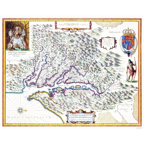
Historic State Map - Virginia - Powhatan 1636 - Vintage Wall Art $40.95
 3 optionsAvailable in additional 3 options$4095current price $40.95
Historic State Map - Virginia - Powhatan 1636 - Vintage Wall Art
Historic County Map - Logan County Kansas - Everts 1887 - Vintage Wall Art $40.95
 4 optionsAvailable in additional 4 options$4095current price $40.95
Historic County Map - Logan County Kansas - Everts 1887 - Vintage Wall Art
Historic County Map - Sonoma County California - Thompson 1877 - Vintage Wall Art $36.95
 $3695current price $36.95
Historic County Map - Sonoma County California - Thompson 1877 - Vintage Wall Art
Historic Map - Mexico Railroads - Hermanos 1890 - Vintage Wall Art $40.95 $40.95/count
 4 optionsAvailable in additional 4 options$4095current price $40.95$40.95/count
Historic Map - Mexico Railroads - Hermanos 1890 - Vintage Wall Art
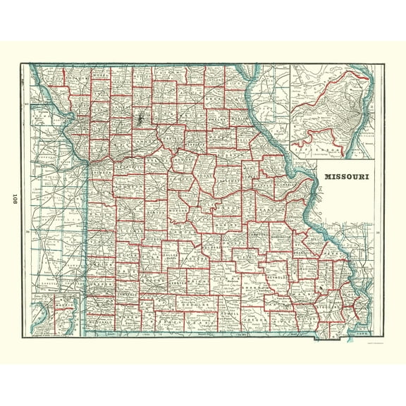
Historic State Map - Missouri - Rathbun 1893 - Vintage Wall Art $36.95
 $3695current price $36.95
Historic State Map - Missouri - Rathbun 1893 - Vintage Wall Art
Wolf Bathroom Decor, Wall Art, Farmhouse Photo Picture Set, 3pk, 8.5x11, TheNameStore $11.77
 $1177current price $11.77
Wolf Bathroom Decor, Wall Art, Farmhouse Photo Picture Set, 3pk, 8.5x11, TheNameStore
Historic County Map - Dodge County Wisconsin - Snyder 1878 - Vintage Wall Art $40.95 $40.95/count
 $4095current price $40.95$40.95/count
Historic County Map - Dodge County Wisconsin - Snyder 1878 - Vintage Wall Art
14 out of 5 Stars. 1 reviewsHistoric County Map - Mcpherson County Kansas - Everts 1887 - Vintage Wall Art $40.95 $40.95/count
 $4095current price $40.95$40.95/count
Historic County Map - Mcpherson County Kansas - Everts 1887 - Vintage Wall Art
Historic State Map - Texas - Rathbun 1893 - Vintage Wall Art $40.95
 $4095current price $40.95
Historic State Map - Texas - Rathbun 1893 - Vintage Wall Art
Customer ratings & reviews
0 ratings|0 reviews
This item does not have any reviews yet
