
Hero image 0 of Historic County Map - Denton County Texas - General Land Office 1878 - Vintage Wall Art, 0 of 4
Historic County Map - Denton County Texas - General Land Office 1878 - Vintage Wall Art
(No ratings yet)
Historic County Map - Denton County Texas - General Land Office 1878 - Vintage Wall ArtDenton County Texas General Land Office 1878 23 00 x 29 85 Glossy Satin PaperHistoric County Map Denton County Texas General Land Office 1878 Vintage Wall ArtHistoric County Map Denton County Texas General Land Office 1878 23 x 29 85 Vintage Wall ArtHistoric County Map Denton County Texas General Land Office 1878 Vintage Wall Art
Material:Glossy Photo
Size:23.00 x 29.85
Key item features
- HISTORICAL LOCAL MAPS MAKE GREAT WALL ART - Ever wonder what your country looked like during the early days of the USA? Well now you can find out! Maps of the Past provides maps from various time periods so you can track the history of your local city or town. These gorgiously detailed maps make for a great piece of art for your home or office. Own a piece of art and history today!
- LOCAL MAPS PROVIDE IMPORTANT INFORMATION - Local maps show you how the borders of a local are established and were they can be found. It also highlights rivers, mountains, and other natural element you may not know are there. Local maps can also show you transportation lanes across your local
- ONLY ACCEPT THE BEST PRINT QUALITY FOR YOUR REPRODUCTIONS - There are many printers and print types available on the market, when purchasing a reproduction there is no finer quality reproduction than a reproduction using the Giclee Printing method. Giclee describes the technique or style of printing used, and it is revered as the highest quality printing because of the way it precisely sprays ink onto a surface. Trust nothing less than the best!
- GUARANTEED TO GET EXACTLY WHAT YOU ORDERED - All of our maps come rolled, wrapped, and shipped in a heavy gauge mailing tube to ensure it arrives intact.
- WHY CHOOSE MAPS OF THE PAST? - Maps of the Past is one of the single largest producers of different types of maps. They legally own the rights to the maps they sell, and provide them to you in clean, clear, and vibrant print. If you are looking for a high quality map print, then look no further than Maps of the Past!
Specs
- ColorMulticolor
- Decor styleIndustrial
- ThemeHistorical County Maps
- FramedN
- ShapeRectangle
- Art typePhotography
Current price is USD$40.95
Price when purchased online
- Free shipping
 Free 30-day returns
How do you want your item?
Columbus, 43215
Arrives by Mon, May 11
|Sold and shipped by Maps of the Past
4.363636363636363 stars out of 5, based on 11 seller reviews(4.4)11 seller reviews
Free 30-day returns - in store or online
About this item
Product details
Old County Map - Denton Texas 1878 - This is an exquisite full-color Reproduction printed on gloss paper or art paper.
Sites and Townships Specific To This Map Are: Pilot Point, Denton and Oak Grove.
The following towns are featured: Texas & Pacific Railway with their existing and proposed lines clearly noted. This map also contains detailed landowner information, the Trinity River and many of its tributaries including Elizabeth Creek, Hickory Creek, Big Elm Creek, Indian Creek, Elizabeth Creek, and others.
This Map is Situated in: Denton County Texas (TX)
SKU: TXDE0002
Original Maps are often difficult to find and usually have fold lines, identifying stamps or markings, tears, ragged edges, and assorted other natural signs of age that detract from their beauty. All of our maps have been professionally restored to depict their original beauty, while keeping all historical data intact.
These maps are fabulous pieces of history full of information useful to Historians, Genealogists, Cartographers, Relic Hunters, & Others. They make fascinating conversation pieces and splendid works of art for the home or office.
- HISTORICAL LOCAL MAPS MAKE GREAT WALL ART - Ever wonder what your country looked like during the early days of the USA? Well now you can find out! Maps of the Past provides maps from various time periods so you can track the history of your local city or town. These gorgiously detailed maps make for a great piece of art for your home or office. Own a piece of art and history today!
- LOCAL MAPS PROVIDE IMPORTANT INFORMATION - Local maps show you how the borders of a local are established and were they can be found. It also highlights rivers, mountains, and other natural element you may not know are there. Local maps can also show you transportation lanes across your local
- ONLY ACCEPT THE BEST PRINT QUALITY FOR YOUR REPRODUCTIONS - There are many printers and print types available on the market, when purchasing a reproduction there is no finer quality reproduction than a reproduction using the Giclee Printing method. Giclee describes the technique or style of printing used, and it is revered as the highest quality printing because of the way it precisely sprays ink onto a surface. Trust nothing less than the best!
- GUARANTEED TO GET EXACTLY WHAT YOU ORDERED - All of our maps come rolled, wrapped, and shipped in a heavy gauge mailing tube to ensure it arrives intact.
- WHY CHOOSE MAPS OF THE PAST? - Maps of the Past is one of the single largest producers of different types of maps. They legally own the rights to the maps they sell, and provide them to you in clean, clear, and vibrant print. If you are looking for a high quality map print, then look no further than Maps of the Past!
info:
We aim to show you accurate product information. Manufacturers, suppliers and others provide what you see here, and we have not verified it.
Specifications
Color
Multicolor
Decor style
Industrial
Theme
Historical County Maps
Framed
N
Warranty
Warranty information
Please be aware that the warranty terms on items offered for sale by third party Marketplace sellers may differ from those displayed in this section (if any). To confirm warranty terms on an item offered for sale by a third party Marketplace seller, please use the 'Contact seller' feature on the third party Marketplace seller's information page and request the item's warranty terms prior to purchase.
Similar items you might like
Based on what customers bought
In 50+ people's carts My Texas House Scenic Hillscape Framed Under Glass Wall Art 30x24 $81.97
In 50+ people's carts $8197current price $81.97
My Texas House Scenic Hillscape Framed Under Glass Wall Art 30x24
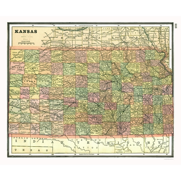
334.5 out of 5 Stars. 33 reviewsHistoric State Map - Kansas - Johnson 1888 - Vintage Wall Art $36.95
 4 optionsAvailable in additional 4 options$3695current price $36.95
Historic State Map - Kansas - Johnson 1888 - Vintage Wall Art
Historic County Map- Johnson County Texas - General Land Office 1887 - Vintage Wall Art $40.95 $40.95/count
 $4095current price $40.95$40.95/count
Historic County Map- Johnson County Texas - General Land Office 1887 - Vintage Wall Art
Historic County Map - Greenville County South Carolina - Salmon 1825 - Vintage Wall Art $40.95
 4 optionsAvailable in additional 4 options$4095current price $40.95
Historic County Map - Greenville County South Carolina - Salmon 1825 - Vintage Wall Art
Historic State Map - Louisiana French Colony - Jefferys 1767 - Vintage Wall Art $40.95
 4 optionsAvailable in additional 4 options$4095current price $40.95
Historic State Map - Louisiana French Colony - Jefferys 1767 - Vintage Wall Art
Historic County Map - Nodaway County Missouri - Morehouse 1900 - Vintage Wall Art $40.95
 $4095current price $40.95
Historic County Map - Nodaway County Missouri - Morehouse 1900 - Vintage Wall Art
Historic County Map - Goliad County Texas - Arlitt 1871 - Vintage Wall Art $40.95
 4 optionsAvailable in additional 4 options$4095current price $40.95
Historic County Map - Goliad County Texas - Arlitt 1871 - Vintage Wall Art
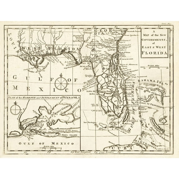
Historic State Map - Florida - Gibson 1763 - Vintage Wall Art $40.95
 $4095current price $40.95
Historic State Map - Florida - Gibson 1763 - Vintage Wall Art
Historic County Map - Kaufman County Texas - Jones 1878 - Vintage Wall Art $40.95 $40.95/count
 $4095current price $40.95$40.95/count
Historic County Map - Kaufman County Texas - Jones 1878 - Vintage Wall Art
Historic State Map - Texas - Mitchell 1874 - Vintage Wall Art $40.95 $40.95/count
 $4095current price $40.95$40.95/count
Historic State Map - Texas - Mitchell 1874 - Vintage Wall Art
Historic State Map - California - Hoen 1896 - Vintage Wall Art $36.95
 4 optionsAvailable in additional 4 options$3695current price $36.95
Historic State Map - California - Hoen 1896 - Vintage Wall Art
Historic County Map - Jasper County Texas - General Land Office 1898 - Vintage Wall Art $40.95
 $4095current price $40.95
Historic County Map - Jasper County Texas - General Land Office 1898 - Vintage Wall Art
Historic State Map - Indian Territory - Johnson 1888 - Vintage Wall Art $40.95 $40.95/count
 $4095current price $40.95$40.95/count
Historic State Map - Indian Territory - Johnson 1888 - Vintage Wall Art
Historic State Map - Arkansas - Hoen 1896 - Vintage Wall Art $36.95
 $3695current price $36.95
Historic State Map - Arkansas - Hoen 1896 - Vintage Wall Art
Historic State Map - Texas - Hoen 1896 - Vintage Wall Art $40.95
 $4095current price $40.95
Historic State Map - Texas - Hoen 1896 - Vintage Wall Art
Topographical Map - Brownwood Texas Quad - USGS 1964 - Vintage Wall Art $40.95 $40.95/count
 $4095current price $40.95$40.95/count
Topographical Map - Brownwood Texas Quad - USGS 1964 - Vintage Wall Art
Historic County Map - Waukesha County Wisconsin - Hardy 1900 - Vintage Wall Art $40.95
 $4095current price $40.95
Historic County Map - Waukesha County Wisconsin - Hardy 1900 - Vintage Wall Art
Historic State Map - Missouri - Johnson 1888 $40.95 $40.95/count
 $4095current price $40.95$40.95/count
Historic State Map - Missouri - Johnson 1888
Historic State Map - Pennsylvania - Kitchin 1756 - Vintage Wall Art $40.95 $40.95/count
 4 optionsAvailable in additional 4 options$4095current price $40.95$40.95/count
Historic State Map - Pennsylvania - Kitchin 1756 - Vintage Wall Art
Historic County Map - Warren County Pennsylvania - Barnes 1865 - Vintage Wall Art $36.95
 $3695current price $36.95
Historic County Map - Warren County Pennsylvania - Barnes 1865 - Vintage Wall Art
Check out these related products
Historic Nautical Map - Sea Currents - Stieler 1885 - Vintage Wall Art $36.95
 $3695current price $36.95
Historic Nautical Map - Sea Currents - Stieler 1885 - Vintage Wall Art
Historic Map - Oceania Polynesia - Stieler 1885 - Vintage Wall Art $36.95
 $3695current price $36.95
Historic Map - Oceania Polynesia - Stieler 1885 - Vintage Wall Art
Historic Mine Map - Walker Lake California Mines Sheet - Koenig 1959 - Vintage Wall Art $36.95
 $3695current price $36.95
Historic Mine Map - Walker Lake California Mines Sheet - Koenig 1959 - Vintage Wall Art
Historic Mine Map - Montana Selected Minerals - Bentley 1964 - Vintage Wall Art $36.95
 4 optionsAvailable in additional 4 options$3695current price $36.95
Historic Mine Map - Montana Selected Minerals - Bentley 1964 - Vintage Wall Art
Historic Map - Lake Constance Germany - Baedeker 1896 - Vintage Wall Art $36.95
 $3695current price $36.95
Historic Map - Lake Constance Germany - Baedeker 1896 - Vintage Wall Art
Historic Map - Europe 912 - Gardiner 1902 - Vintage Wall Art $36.95
 $3695current price $36.95
Historic Map - Europe 912 - Gardiner 1902 - Vintage Wall Art
Historic Map - Southern Hemisphere - Bartholomew 1892 - Vintage Wall Art $36.95
 4 optionsAvailable in additional 4 options$3695current price $36.95
Historic Map - Southern Hemisphere - Bartholomew 1892 - Vintage Wall Art
Historic Mine Map - Nevada Ranch Quad Gravity Mines - Erwin 1968 - Vintage Wall Art $36.95
 $3695current price $36.95
Historic Mine Map - Nevada Ranch Quad Gravity Mines - Erwin 1968 - Vintage Wall Art
Historic Map - Central Europe Elevations- Stieler 1885 - Vintage Wall Art $36.95
 $3695current price $36.95
Historic Map - Central Europe Elevations- Stieler 1885 - Vintage Wall Art
Historic Mine Map - Chicken Creek West Quad Wyoming - Roehler 1967 - Vintage Wall Art $36.95
 $3695current price $36.95
Historic Mine Map - Chicken Creek West Quad Wyoming - Roehler 1967 - Vintage Wall Art
Historic Map - Antwerp Belgium - Baedeker 1910 - Vintage Wall Art $36.95
 $3695current price $36.95
Historic Map - Antwerp Belgium - Baedeker 1910 - Vintage Wall Art
Historic Map - British Isles - Migeon 1892 - Vintage Wall Art $36.95
 $3695current price $36.95
Historic Map - British Isles - Migeon 1892 - Vintage Wall Art
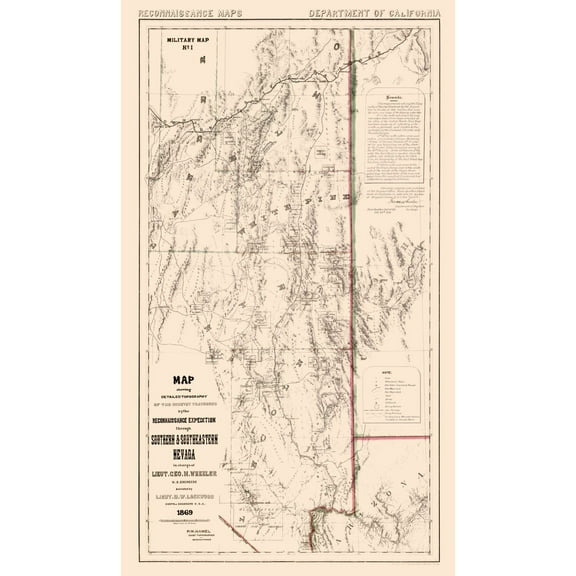
Historic State Map - Nevada - Wheeler 1869 - Vintage Wall Art $36.95
 $3695current price $36.95
Historic State Map - Nevada - Wheeler 1869 - Vintage Wall Art
Topographical Map - Covina California Quad - USGS 1927 - Vintage Wall Art $36.95
 4 optionsAvailable in additional 4 options$3695current price $36.95
Topographical Map - Covina California Quad - USGS 1927 - Vintage Wall Art
Historic County Map - Pope Massac Counties Illinois - Beers 1876 - Vintage Wall Art $36.95
 4 optionsAvailable in additional 4 options$3695current price $36.95
Historic County Map - Pope Massac Counties Illinois - Beers 1876 - Vintage Wall Art
Historic State Map - Virginia - 1912 - Vintage Wall Art $36.95
 $3695current price $36.95
Historic State Map - Virginia - 1912 - Vintage Wall Art
Historic War Map - Corinth Gulf Battle - Oxford 1828 - Vintage Wall Art $36.95
 4 optionsAvailable in additional 4 options$3695current price $36.95
Historic War Map - Corinth Gulf Battle - Oxford 1828 - Vintage Wall Art
Historic State Map - Arkansas - Cram 1888 - Vintage Wall Art $36.95
 $3695current price $36.95
Historic State Map - Arkansas - Cram 1888 - Vintage Wall Art
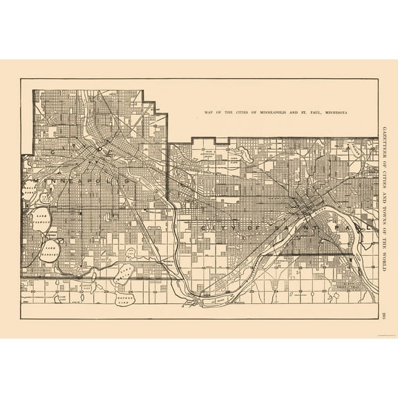
Historic City Map - Minneapolis St Paul Minnesota - Reynold 1921 - Vintage Wall Art $36.95
 $3695current price $36.95
Historic City Map - Minneapolis St Paul Minnesota - Reynold 1921 - Vintage Wall Art
Historic Map - Paris France Northwestern - Blue Guides 1921 - Vintage Wall Art $36.95
 4 optionsAvailable in additional 4 options$3695current price $36.95
Historic Map - Paris France Northwestern - Blue Guides 1921 - Vintage Wall Art
Customer ratings & reviews
0 ratings|0 reviews
This item does not have any reviews yet

Related pages
- Mapa De Chicago Ilinois
- Virginia Occidental Mapa
- Brunswick Ga Map
- Northampton County Pa Map
- San Marino California
- Leominster Ma Map
- National Parks Posters
- Central America Travel Books, Maps & Guides
- Ontario Travel Books, Maps & Guides
- Cyprus Travel Books
- Western United States Travel Books, Maps & Guides
- General South America Travel Books, Maps & Guides