Us Elevation Map(4)
Uses item details. Price when purchased online
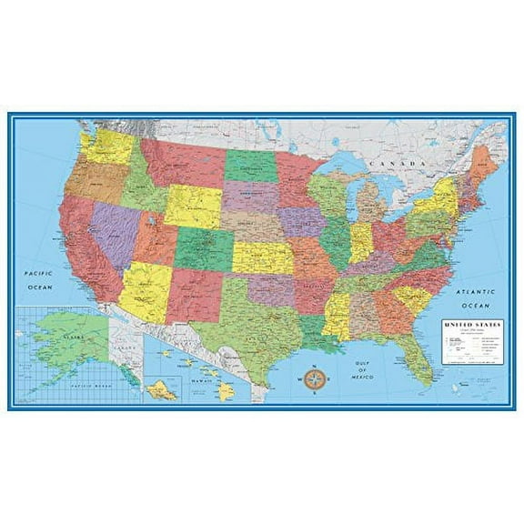
Swiftmaps United States Decorator Wall Map, 48x70 $49.99

$4999
current price $49.99Swiftmaps United States Decorator Wall Map, 48x70
Swiftmaps United States Classic Wall Map Poster 24" x 36" Framed $18.90
$1890
current price $18.90Swiftmaps United States Classic Wall Map Poster 24" x 36" Framed
73.7 out of 5 Stars. 7 reviews
30x50 RMC Classic Edition United States Wall Map - Laminated $18.99

$1899
current price $18.9930x50 RMC Classic Edition United States Wall Map - Laminated
48x70 United States Executive Wall Map - Laminated $49.99

$4999
current price $49.9948x70 United States Executive Wall Map - Laminated
15 out of 5 Stars. 1 reviews
Other options to consider(10)
Hammond 24x19 Black Modern Framed Museum Art Print Titled - Altitude Map of US, Canada - Hammond 1910 From $29.99

4 options
Available in additional 4 optionsFrom$2999
Hammond 24x19 Black Modern Framed Museum Art Print Titled - Altitude Map of US, Canada - Hammond 1910
KITTEHIGM United States Map Poster 2025 Updated Topography Art Print with Mount McKinley 12x18 in Wall Home Office Classroom $9.99

$999
current price $9.99KITTEHIGM United States Map Poster 2025 Updated Topography Art Print with Mount McKinley 12x18 in Wall Home Office Classroom
Historic Map - South America Elevation - Bartholomew 1892 - Vintage Wall Art From $36.95

2 options
Available in additional 2 optionsFrom$3695
Historic Map - South America Elevation - Bartholomew 1892 - Vintage Wall Art
Historic State Map - United States Canada Altitude - Hammond 1910 - Vintage Wall Art From $36.95

2 options
Available in additional 2 optionsFrom$3695
Historic State Map - United States Canada Altitude - Hammond 1910 - Vintage Wall Art
United States Map Printed North America Geography Wallpaper Unframed Paper Print From $18.99

5 options
Available in additional 5 optionsFrom$1899
United States Map Printed North America Geography Wallpaper Unframed Paper Print
24"x36" Gallery Poster, map of North America pre united states 1755 p10 $52.95

$5295
current price $52.9524"x36" Gallery Poster, map of North America pre united states 1755 p10
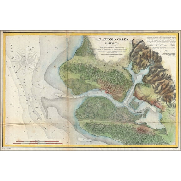
24x36 Poster; 1857 U.S. Coast Survey Map Of San Antonio Creek And Oakland, California Near San Franciscosanantoniocreek Uscs 1857 $52.95

$5295
current price $52.9524x36 Poster; 1857 U.S. Coast Survey Map Of San Antonio Creek And Oakland, California Near San Franciscosanantoniocreek Uscs 1857
Topographical Map - Colorado New Mexico Land Classification Sheet - US Army 1878 From $36.95

2 options
Available in additional 2 optionsFrom$3695
Topographical Map - Colorado New Mexico Land Classification Sheet - US Army 1878
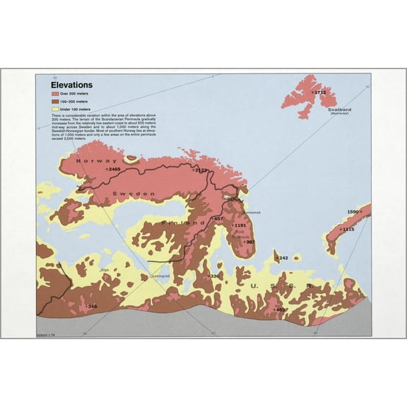
24"x36" Gallery Poster, cia map scandinavia Elevations sweden norway 1978 $52.95
$5295
current price $52.9524"x36" Gallery Poster, cia map scandinavia Elevations sweden norway 1978
24"x36" Gallery Poster, 1857 U.S. Coast Survey Map of San Antonio Creek and Oakland, California near San FranciscoSanAntonioCreek uscs 185 $52.95
$5295
current price $52.9524"x36" Gallery Poster, 1857 U.S. Coast Survey Map of San Antonio Creek and Oakland, California near San FranciscoSanAntonioCreek uscs 185
Popular in Us Elevation Map
Related Products
Art.com 1870 NYC Map Stretched Canvas Print Wall Art by N. Harbick, 36" x 24"
 Art.com 1870 NYC Map Stretched Canvas Print Wall Art by N. Harbick, 36" x 24"$129.00current price $129.00
London City, U.K. Print Map Wall Art with Frame
 London City, U.K. Print Map Wall Art with Frame$148.00current price $148.00