Sort by|
0 results for "map latitude lines".
Other options to consider(104)
Uses item details. Price when purchased online
New Hampshire Map Print Nh Flag Latitude Longitude Coordinates $25.99

5 sizes
Available in additional 5 sizes$2599
current price $25.99Options from $18.99
New Hampshire Map Print Nh Flag Latitude Longitude Coordinates
Free shipping, arrives in 3+ days
New York Map Print Ny Flag Latitude Longitude Coordinates $18.99

5 sizes
Available in additional 5 sizes$1899
current price $18.99Options from $18.99 – $35.99
New York Map Print Ny Flag Latitude Longitude Coordinates
Free shipping, arrives in 3+ days
Delaware Map Poster Print: State Flag Latitude Longitude Coordinates $19.99

4 sizes
Available in additional 4 sizes$1999
current price $19.99Options from $19.99 – $62.99
Delaware Map Poster Print: State Flag Latitude Longitude Coordinates
Free shipping, arrives in 3+ days
Virginia Map Poster Print: State Flag Latitude Longitude Coordinates $24.99

4 sizes
Available in additional 4 sizes$2499
current price $24.99Options from $19.99
Virginia Map Poster Print: State Flag Latitude Longitude Coordinates
Free shipping, arrives in 3+ days
Missouri Map Poster Print: State Flag Latitude Longitude Coordinates $35.99

4 sizes
Available in additional 4 sizes$3599
current price $35.99Options from $19.99
Missouri Map Poster Print: State Flag Latitude Longitude Coordinates
Free shipping, arrives in 3+ days
Map of Fort Myers Beach, Florida, Multiline Coordinates Colored (24x36) $34.95

3 sizes
Available in additional 3 sizes$3495
current price $34.95Options from $24.95
Map of Fort Myers Beach, Florida, Multiline Coordinates Colored (24x36)
Free shipping, arrives in 3+ days
Benin Map Flag Poster Print: Latitude Longitude Coordinates $49.99

4 sizes
Available in additional 4 sizes$4999
current price $49.99Options from $19.99
Benin Map Flag Poster Print: Latitude Longitude Coordinates
Free shipping, arrives in 3+ days
Madagascar Map Poster Print: Flag Colors Latitude Longitude Coordinates $34.99

4 sizes
Available in additional 4 sizes$3499
current price $34.99Options from $24.99
Madagascar Map Poster Print: Flag Colors Latitude Longitude Coordinates
Free shipping, arrives in 3+ days
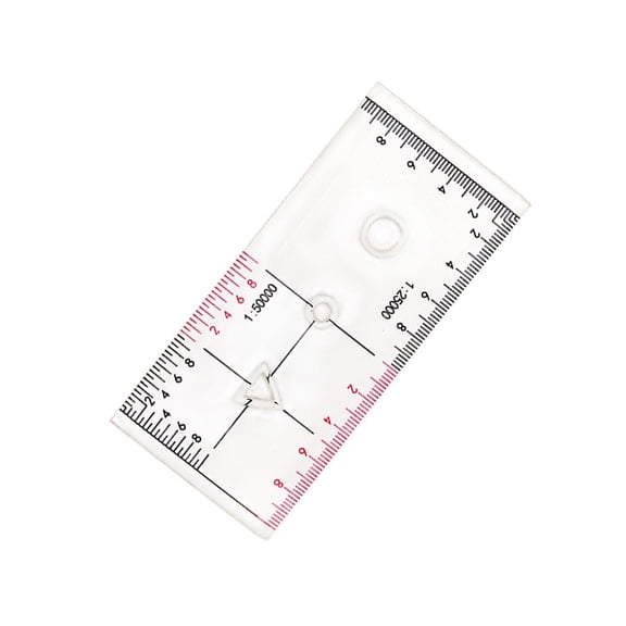
UNTERING Latitude Ruler Corner Rulers Learning Geographic Coordinate Ruler 1:50000 Scale Clearly Professional Accurate Maptool for Utm, USNG $10.58

$1058
current price $10.58UNTERING Latitude Ruler Corner Rulers Learning Geographic Coordinate Ruler 1:50000 Scale Clearly Professional Accurate Maptool for Utm, USNG
Free shipping, arrives in 3+ days
Nevada Map Print State Flag Latitude Longitude Coordinates $21.99

5 sizes
Available in additional 5 sizes$2199
current price $21.99Options from $18.99
Nevada Map Print State Flag Latitude Longitude Coordinates
Free shipping, arrives in 3+ days
West Virginia Map Print Wv Flag Latitude Longitude Coordinates $18.99

5 sizes
Available in additional 5 sizes$1899
current price $18.99Options from $18.99 – $35.99
West Virginia Map Print Wv Flag Latitude Longitude Coordinates
Free shipping, arrives in 3+ days
Xplorer Maps MAP_LTH Lake Tahoe Hand-Drawn Map $28.27 Was $37.26

Now$2827
current price Now $28.27, Was $37.26$37.26
Xplorer Maps MAP_LTH Lake Tahoe Hand-Drawn Map
Free shipping, arrives in 3+ days
Map of Fort Myers, Florida, Multiline Coordinates Colored (8x10) $16.95

4 sizes
Available in additional 4 sizes$1695
current price $16.95Options from $16.95 – $49.95
Map of Fort Myers, Florida, Multiline Coordinates Colored (8x10)
Free shipping, arrives in 3+ days
The Map Shop KA-C-OH-TOLEDO-springroller-sr Toledo, OH Wall Map, Laminated - Spring Roller - Published 2013 - 59 x 54 in. $285.06 Was $307.65

Now$28506
current price Now $285.06, Was $307.65$307.65
+$7.98 shipping
The Map Shop KA-C-OH-TOLEDO-springroller-sr Toledo, OH Wall Map, Laminated - Spring Roller - Published 2013 - 59 x 54 in.
Shipping arrives in 3+ days
Minimal Map Lines Design - Travel Enthusiast - 13x19 Poster Print $21.95

$2195
current price $21.95Minimal Map Lines Design - Travel Enthusiast - 13x19 Poster Print
Free shipping, arrives in 3+ days
Standard Map M034 Laminated Pecan Island Fishing Map $42.98
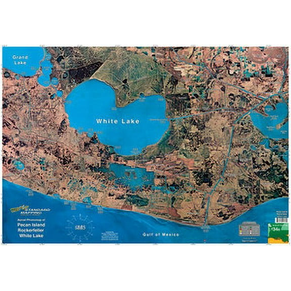
$4298
current price $42.98Standard Map M034 Laminated Pecan Island Fishing Map
Free shipping, arrives in 3+ days
Alaska Map Print State Flag Latitude Longitude Coordinates $25.99

5 sizes
Available in additional 5 sizes$2599
current price $25.99Options from $18.99
Alaska Map Print State Flag Latitude Longitude Coordinates
Free shipping, arrives in 3+ days
Ireland Map Print Irish Flag Latitude Longitude Coordinates $29.99

5 sizes
Available in additional 5 sizes$2999
current price $29.99Options from $18.99
Ireland Map Print Irish Flag Latitude Longitude Coordinates
Free shipping, arrives in 3+ days
Remarkable Maps: Latitude: The Story of Civilization from North to South, (Hardcover) $19.99

$1999
current price $19.99Remarkable Maps: Latitude: The Story of Civilization from North to South, (Hardcover)
Save with
Shipping, arrives by release date Oct 6
Preorder
Standard Map M005 Laminated Lafitte/Myrtle Grove Fishing Map $40.89

$4089
current price $40.89Standard Map M005 Laminated Lafitte/Myrtle Grove Fishing Map
Free shipping, arrives in 3+ days
Map of Duluth, Minnesota, Multiline Coordinates Colored (24x36) $34.95

6 sizes
Available in additional 6 sizes$3495
current price $34.95Options from $16.95
Map of Duluth, Minnesota, Multiline Coordinates Colored (24x36)
Free shipping, arrives in 3+ days
Latitude and Longitude How We Find Any Place on Earth Educational 12x18 US Made Poster $9.99

$999
current price $9.99Latitude and Longitude How We Find Any Place on Earth Educational 12x18 US Made Poster
Free shipping, arrives in 3+ days
Map - World Time Zones 18 Poster Print (22 x 34) $17.99

$1799
current price $17.99Map - World Time Zones 18 Poster Print (22 x 34)
Free shipping, arrives in 3+ days
Aymzbd Acrylic Geographic Coordinate Ruler with Latitude and for Working styleC $10.99

$1099
current price $10.99Aymzbd Acrylic Geographic Coordinate Ruler with Latitude and for Working styleC
Free shipping, arrives in 3+ days
Massachusetts Map Print Latitude Longitude Coordinates State Flag $21.99
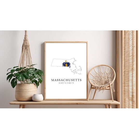
5 sizes
Available in additional 5 sizes$2199
current price $21.99Options from $18.99
Massachusetts Map Print Latitude Longitude Coordinates State Flag
Free shipping, arrives in 3+ days
Classroom Complete CC5788 Mapping Skills with Google Earth - 6-8 $18.79 Was $28.77
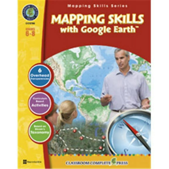
Now$1879
current price Now $18.79, Was $28.77$28.77
+$9.98 shipping
Classroom Complete CC5788 Mapping Skills with Google Earth - 6-8
Shipping arrives in 3+ days
Pre-Owned Map Reading, Latitude, Longitude and Time, Grades 5 - 8 (Paperback) 1580370799 9781580370790 $19.39

$1939
current price $19.39Pre-Owned Map Reading, Latitude, Longitude and Time, Grades 5 - 8 (Paperback) 1580370799 9781580370790
Free shipping, arrives in 3+ days
Pre-Owned: Good
Map of Lake Toxaway, North Carolina, Multiline Coordinates Colored (8x10) $16.95

6 sizes
Available in additional 6 sizes$1695
current price $16.95Map of Lake Toxaway, North Carolina, Multiline Coordinates Colored (8x10)
Free shipping, arrives in 3+ days
Historic Map - Lucerne Switzerland Route Plan - Swiss Guide 1917 - Vintage Wall Art $42.95

2 sizes
Available in additional 2 sizes$4295
current price $42.95Options from $36.95
Historic Map - Lucerne Switzerland Route Plan - Swiss Guide 1917 - Vintage Wall Art
Free shipping, arrives in 3+ days
Historic Map - North America - Jaillot 1694 - Vintage Wall Art $36.95

2 sizes
Available in additional 2 sizes$3695
current price $36.95Options from $36.95 – $45.95
Historic Map - North America - Jaillot 1694 - Vintage Wall Art
Free shipping, arrives in 3+ days
DISCOVERER MAP 09 LARNE $22.08

$2208
current price $22.08DISCOVERER MAP 09 LARNE
Free shipping, arrives in 3+ days
24"x36" Gallery Poster, map water ice in upper meter of planet mars surface mid latitudes $52.95
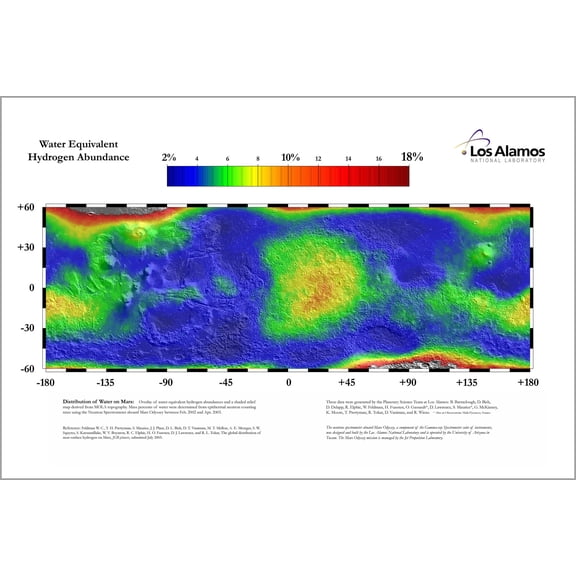
$5295
current price $52.9524"x36" Gallery Poster, map water ice in upper meter of planet mars surface mid latitudes
Free shipping, arrives in 3+ days
World Climate Zones Map - Education Enthusiast - 13x19 Poster Print $21.95

$2195
current price $21.95World Climate Zones Map - Education Enthusiast - 13x19 Poster Print
Free shipping, arrives in 3+ days
GPS Land Measure Meter Plough Area Survey 2.8 Inch LCD Longitude Latitude Altitude Measuring With Draw Track Map And PC Software $87.99

$8799
current price $87.99GPS Land Measure Meter Plough Area Survey 2.8 Inch LCD Longitude Latitude Altitude Measuring With Draw Track Map And PC Software
Free shipping, arrives in 3+ days
Pre-Owned Map Reading, Latitude, Longitude and Time, Grades 5 - 8 Paperback $12.68 Was $15.32

Now$1268
current price Now $12.68, Was $15.32$15.32
Pre-Owned Map Reading, Latitude, Longitude and Time, Grades 5 - 8 Paperback
Free shipping, arrives in 3+ days
Pre-Owned: Good
Map of Concord, New Hampshire, Multiline Coordinates Colored (18x24) $29.95

6 sizes
Available in additional 6 sizes$2995
current price $29.95Options from $16.95
Map of Concord, New Hampshire, Multiline Coordinates Colored (18x24)
Free shipping, arrives in 3+ days
Land Navigation Topographical Map Scale Coordinate Reader Protractors Geometry Drawing Template Measuring Tool $7.56
$756
current price $7.56Land Navigation Topographical Map Scale Coordinate Reader Protractors Geometry Drawing Template Measuring Tool
Free shipping, arrives in 3+ days
lanema MP8 Military StyleMGRS/UTMCoordinate Grid Ruler Protractor,Coordinate Scale Map Reading Topographical Map Scale $10.34 Was $15.29
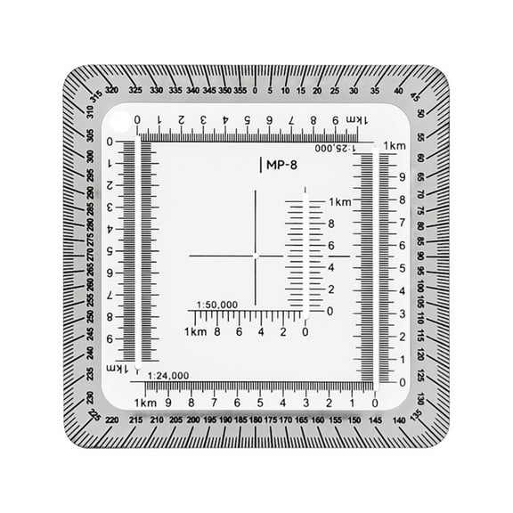
Now$1034
current price Now $10.34, Was $15.29$15.29
+$2.99 shipping
lanema MP8 Military StyleMGRS/UTMCoordinate Grid Ruler Protractor,Coordinate Scale Map Reading Topographical Map Scale
Shipping arrives in 3+ days
Historic Map - Lapland Region Finland - Blaeu 1662 - Vintage Wall Art $42.95

2 sizes
Available in additional 2 sizes$4295
current price $42.95Options from $36.95
Historic Map - Lapland Region Finland - Blaeu 1662 - Vintage Wall Art
Free shipping, arrives in 3+ days
Pre-Owned Got Geography! (Hardcover) 0060556013 9780060556013 $6.07

$607
current price $6.07Pre-Owned Got Geography! (Hardcover) 0060556013 9780060556013
Free shipping, arrives in 3+ days
Pre-Owned: Good