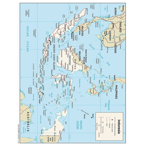
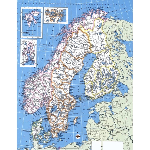
Detailed Map(452)
Uses item details. Price when purchased online
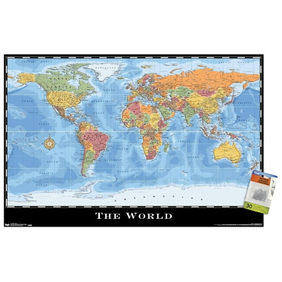
MOJCO Scratch Off Map of the World Travel Poster W/ Country Flags & US States Outlined Shiny Glossy Finish (Large Full Size) $17.99

Sponsored
$1799
current price $17.99MOJCO Scratch Off Map of the World Travel Poster W/ Country Flags & US States Outlined Shiny Glossy Finish (Large Full Size)
14 out of 5 Stars. 1 reviews
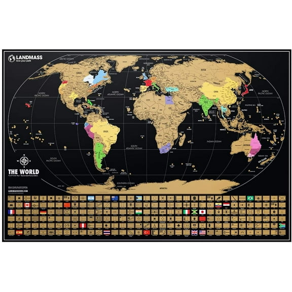
Landmass - Scratch Off World Map Poster - Made In The USA - Deluxe Detailed Map Of The World - Extra Large Travel Print - Bucket List - Wall Art - Gift For Traveler - Gift Ideas $38.17 Was $45.99
Sponsored
Now$3817
current price Now $38.17, Was $45.99$45.99
Landmass - Scratch Off World Map Poster - Made In The USA - Deluxe Detailed Map Of The World - Extra Large Travel Print - Bucket List - Wall Art - Gift For Traveler - Gift Ideas
15 out of 5 Stars. 1 reviews
Best seller Swiftmaps Laminated RMC Classic Edition World Wall Map Poster, 50" x 32" $19.99

$1999
current price $19.99Swiftmaps Laminated RMC Classic Edition World Wall Map Poster, 50" x 32"
424.5 out of 5 Stars. 42 reviews
Save with


Best seller United States Wall Map US USA Poster Size 40" x 28" Home School Office $7.59

$759
current price $7.59United States Wall Map US USA Poster Size 40" x 28" Home School Office
444.8 out of 5 Stars. 44 reviews


Vintage Blue & Gold Map of the World Highly Detailed Print World Map Poster Horizontal Wall Art From $18.99

5 options
Available in additional 5 optionsFrom$1899
Vintage Blue & Gold Map of the World Highly Detailed Print World Map Poster Horizontal Wall Art


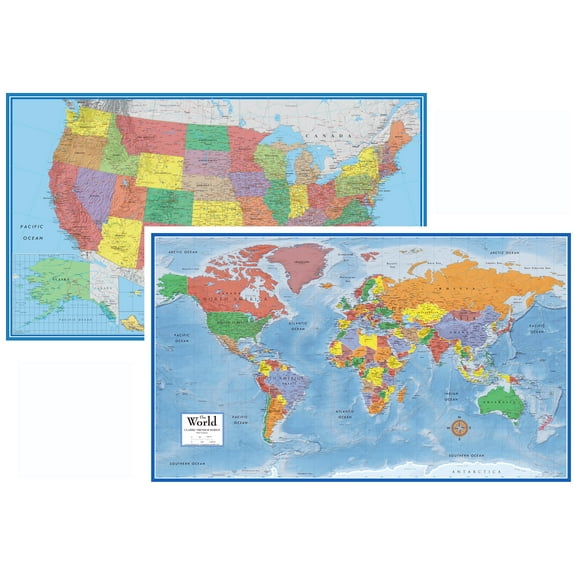
24x36 World and USA Classic Premier 3D Two Wall Map Set - Laminated From $19.98
2 options
Available in additional 2 optionsFrom$1998
24x36 World and USA Classic Premier 3D Two Wall Map Set - Laminated
754.8 out of 5 Stars. 75 reviews
MOKKHNB World Geography Map Poster Set, UV Coated Paper, 19.7x13.8in, Detailed Country Maps for Home, Office, Classroom Wall Decor $11.28

$1128
current price $11.28MOKKHNB World Geography Map Poster Set, UV Coated Paper, 19.7x13.8in, Detailed Country Maps for Home, Office, Classroom Wall Decor
Caribbean Islands Geographic Chart Poster Educational Classroom Office Wall Decor Detailed Island Map Travel Guide From $12.90


From$1290
Caribbean Islands Geographic Chart Poster Educational Classroom Office Wall Decor Detailed Island Map Travel Guide
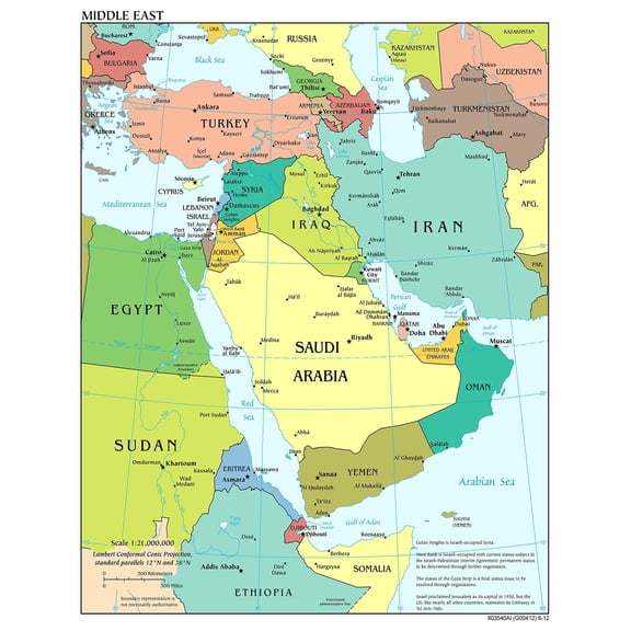
Poster: Large scale detailed political map of the middle east with major cities and capitals From $12.99

From$1299
Poster: Large scale detailed political map of the middle east with major cities and capitals
Scratch off Map of the USA, 36"x24" Large Size Travel Map, USA Scratch off Map Poster, Wall Decor Watercolor Map Includes Scratch off Tools

Scratch off Map of the USA, 36"x24" Large Size Travel Map, USA Scratch off Map Poster, Wall Decor Watercolor Map Includes Scratch off Tools
63.5 out of 5 Stars. 6 reviews
Save with
Poster: Large detailed political map of switzerland with roads railroads and major cities From $12.99


From$1299
Poster: Large detailed political map of switzerland with roads railroads and major cities


Poster: Large detailed political and administrative map of honduras with roads railroads cities and airports From $12.99


From$1299
Poster: Large detailed political and administrative map of honduras with roads railroads cities and airports
Poster: Large detailed political and administrative map of haiti with roads cities and airports From $12.99


From$1299
Poster: Large detailed political and administrative map of haiti with roads cities and airports
Best seller Swiftmaps World Classic Elite Wall Map 24"x36" Poster From $12.76
3 options
Available in additional 3 optionsFrom$1276
Swiftmaps World Classic Elite Wall Map 24"x36" Poster
1254.5 out of 5 Stars. 125 reviews
Save with
Poster: Large detailed political and administrative map of ghana with roads railroads cities and airports poster From $8.99


From$899
Poster: Large detailed political and administrative map of ghana with roads railroads cities and airports poster
Best seller UNCLE WU Laminated World Map Poster for Home, School, Classroom - 18" x 24" $7.90

$790
current price $7.90UNCLE WU Laminated World Map Poster for Home, School, Classroom - 18" x 24"
284 out of 5 Stars. 28 reviews
Save with

Scratch Map Poster Scratch-off World Travel Maps Colorful Detailed United States Map 17in x 12in $5.45

$545
current price $5.45Scratch Map Poster Scratch-off World Travel Maps Colorful Detailed United States Map 17in x 12in
Poster: South Asia Large detailed political map of south asia with major cities and capitals From $12.99


From$1299
Poster: South Asia Large detailed political map of south asia with major cities and capitals
Large Scale Political Map of The Middle East Poster Detailed Wall Chart with Major Cities Capitals and Country Borders for Classroom and Office Decor From $8.90


From$890
Large Scale Political Map of The Middle East Poster Detailed Wall Chart with Major Cities Capitals and Country Borders for Classroom and Office Decor
Landmass - Scratch Off World Map Poster - Made In The USA - Deluxe Detailed Map Of The World - Extra Large Travel Print - Bucket List - Wall Art - Gift For Traveler - Gift Ideas $38.17 Was $45.99
Now$3817
current price Now $38.17, Was $45.99$45.99
Landmass - Scratch Off World Map Poster - Made In The USA - Deluxe Detailed Map Of The World - Extra Large Travel Print - Bucket List - Wall Art - Gift For Traveler - Gift Ideas
15 out of 5 Stars. 1 reviews
Poster: Large detailed political and administrative map of south africa with roads railroads cities and airports From $12.99


From$1299
Poster: Large detailed political and administrative map of south africa with roads railroads cities and airports
Poster: Large detailed political and administrative map of saudi arabia with relief roads railroads and major cities From $12.99
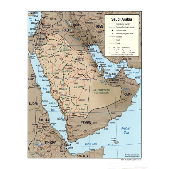

From$1299
Poster: Large detailed political and administrative map of saudi arabia with relief roads railroads and major cities

Poster: Large detailed political and administrative map of latvia with roads cities and airports From $12.99


From$1299
Poster: Large detailed political and administrative map of latvia with roads cities and airports
Poster: Large detailed political map of southwest asia with capitals and major cities From $12.99


From$1299
Poster: Large detailed political map of southwest asia with capitals and major cities


Poster: Large detailed political and administrative map of senegal with roads railroads cities and airports From $12.99


From$1299
Poster: Large detailed political and administrative map of senegal with roads railroads cities and airports
Poster: Large detailed political and administrative map of poland with roads railroads major cities and airports From $12.99


From$1299
Poster: Large detailed political and administrative map of poland with roads railroads major cities and airports
Poster: Large detailed political and administrative map of el salvador with roads railroads cities and airports From $12.99


From$1299
Poster: Large detailed political and administrative map of el salvador with roads railroads cities and airports
Poster: Large detailed political and administrative map of mongolia with roads railroads cities and airports From $12.99


From$1299
Poster: Large detailed political and administrative map of mongolia with roads railroads cities and airports
Poster: Large detailed political and administrative map of nigeria with roads railroads cities and airports From $12.99


From$1299
Poster: Large detailed political and administrative map of nigeria with roads railroads cities and airports
Poster: Large detailed political and administrative map of north korea (dprk) with roads railroads cities and airports From $12.99


From$1299
Poster: Large detailed political and administrative map of north korea (dprk) with roads railroads cities and airports
Georgia County Map Poster - Detailed US State Print Poster Paper $40.19

$4019
current price $40.19Georgia County Map Poster - Detailed US State Print Poster Paper
Poster: Large detailed political map of thailand with roads railroads major cities and airports From $12.99


From$1299
Poster: Large detailed political map of thailand with roads railroads major cities and airports


Other options to consider(15)
Popular in Explore Detailed Maps and Posters for Home and Educational Use
Related Products
A Map Of Mercury Poster Wall Art, Modern Wall Decor, 24x24 UNFRAMED
 A Map Of Mercury Poster Wall Art, Modern Wall Decor, 24x24 UNFRAMED$26.99current price $26.99
Wild Apple Graphics PDX12916LARGE Old World Map Poster Print by Pela Studio, 24 x 48 - Large
 Wild Apple Graphics PDX12916LARGE Old World Map Poster Print by Pela Studio, 24 x 48 - Large$94.82current price $94.82
Iconic Arts Laminated 36x24 Poster: Oceania-map 1-41000000
Iconic Arts Laminated 36x24 Poster: Oceania-map 1-41000000
431 National Park System Units Map 24x36 Poster
 431 National Park System Units Map 24x36 Poster$31.97current price $31.97
Posterazzi DPI1796116LARGE World Map Illustration Poster Print by Design Pics Eye Traveller, 40 x 22 - Large
 Posterazzi DPI1796116LARGE World Map Illustration Poster Print by Design Pics Eye Traveller, 40 x 22 - Large$73.67current price $73.67
USA National Parks, Monuments & Forests Map 24x36 Poster
 USA National Parks, Monuments & Forests Map 24x36 Poster$31.97current price $31.97
Palmetto Posters 23x18 Laminated Poster: Large political map of north africa and the middle east with capitals
Palmetto Posters 23x18 Laminated Poster: Large political map of north africa and the middle east with capitals
HISTORIX 2021 Standard Time Zones of the World Map Poster Wall Art Print, 24 x 36 Inch
 HISTORIX 2021 Standard Time Zones of the World Map Poster Wall Art Print, 24 x 36 Inch$59.99current price $59.99
1786 Eastern and Western Hemisphere World Map Wall Art - Each of Eastern and Western Hemisphere Vintage Map of The World - Old World Map Poster Print (Combo)
 1786 Eastern and Western Hemisphere World Map Wall Art - Each of Eastern and Western Hemisphere Vintage Map of The World - Old World Map Poster Print (Combo)$59.99current price $59.99